|
2001 walks |
2002
walks |
2003 walks |
2004
walks |
|
2005 walks |
2006
walks |
2007 walks |
2008
walks |
|
2009 walks |
2010
walks |
2011 walks |
2012 walks |
|
2013 walks |
2014 walks |
2015 walks |
2016 walks |
|
2017 walks |
2018 walks |
2019 walks |
2020 walks |
|
2021 walks |
1993-2000 library |
Find a Route Index |
|
A few Routes to print out |
Request a Route... |
Route No. 847 - Thursday 12 August 2021
Spaunton Bank, Grange Farm, Austin Head,
Oxclose Lane, Hutton-le-Hole,
Field Path to road near Fairy Call Bridge,
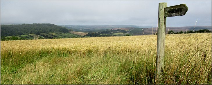
4.4km circuit - North York Moors . . .
Route map from an Ordnance Survey
mapping service.
Map: OS Explorer OL26 North York Moors Western area
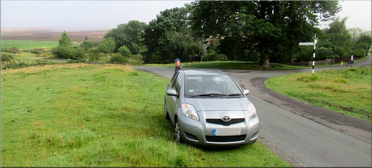
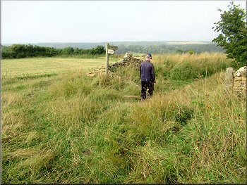
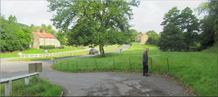
The start of our walk near the road junction below Spaunton at map ref. SE 722 902
|

|
|
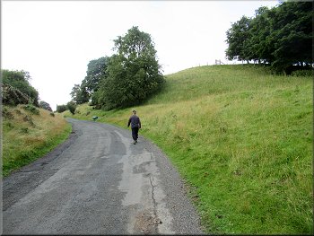
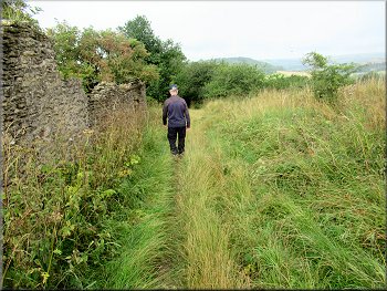
Walking up the hill towards Spaunton
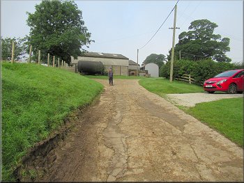
Path along the farm track through Grange Farm
Path along the farm track leaving Grange Farm
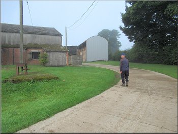
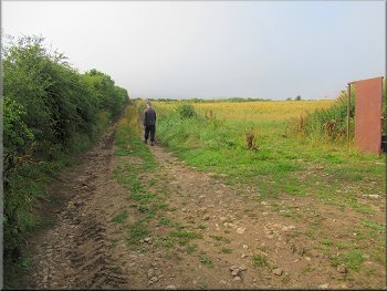
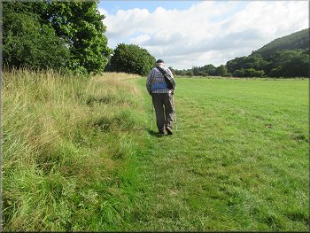
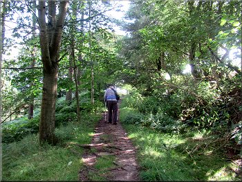
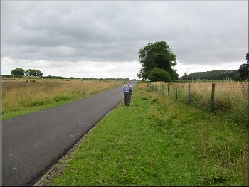
Near the top of the hill we came to Grange Farm on our right. At the farm we turned right off the road to follow a well sign posted public footpath through the southern edge of the farm. We continued along the public footpath following a farm access track along the western edge of the farm. After about 50m the farm track & footpath turned west heading towards some more farm buildings. |
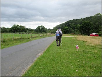
The weather forecast for today was for a warm bright sunny day after a misty start. My friend, Jim, and I drove out through Hutton-le-Hole along the road towards Lastingham. We parked off the road near the road junction below Spaunton at map ref. SE 722 902. From our parking spot we walked along the road, up the hill towards Spaunton.

Turning off the road to the public footpath through Grange Farm
Path along the farm track through Grange Farm
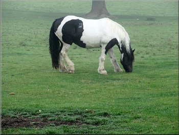
Pony in a field by the track
|
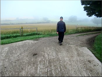
Farm track turning left towards some more farm buildings, morning mist still persisting
|
Footpath along the farm track to more farm buildings
Continuing along the track past the farm buildings
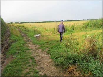
Track along the field edge towards Hutton-le-Hole
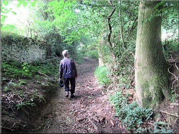
There was a new dry stone wall next to the path
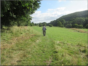
There were numerous butterflies about and one posed on the grass for me to take a photo. Like everything else just now my sight is wearing out and I thought the butterfly was a tortoise shell. When I looked at the photo at home on my computer it was clearly not a tortoise shell at all but in fact it was a wall brown. Something I have nor seen very often. When we reached the end of the field there was a fine view out over Douthwaite Dale towards Gillamoor and beyond. |
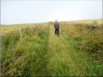
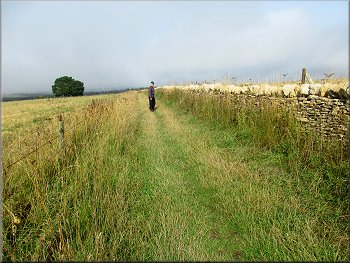
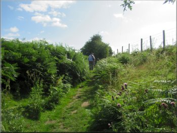
After about 250m the track turned left to pass in front of the farm buildings. About 100m beyond the farm buildings the track turned sharp right to head west again. The public footpath followed a farm track along the edge of the field with a drystone wall on our right hand side. The wall had recently been rebuilt to a high standard. The first part we came to was complete except for the top coping stones, but as we neared the end of the field the wall was complete with its coping stones.
Rounding a left hand bend past the farm buildings
Turning right following the track towards Hutton-le-Hole
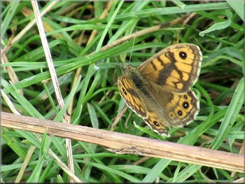
A wall brown butterfly on the path
Nearing the end of the field
|
View from the end of the field over Douthwaite Dale
|
Path from the end of the field
Path dropping down from the end of the field
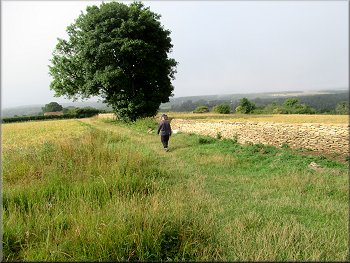
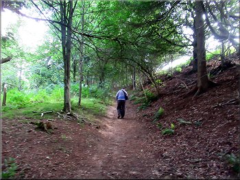
. . . we kept straight on along this old sunken track
Following the old sunken track around Austin Head
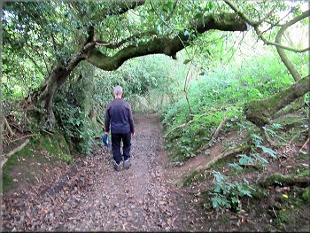
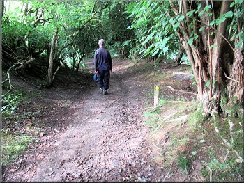
However there was a track continuing straight ahead along an old sunken track under the trees. It is not a right of way but the part around Austin Head is on open access land. We decided to follow this old track. It turned out to be a very pretty track under the trees and brought us down to a bridleway round the southern end of Austin Head. We followed the bridleway down to Oxclose Lane and out to the road in Hutton-le-Hole. |
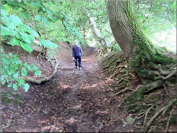
At the end of the field the track turned left heading south for about 50m and then turned right to head west again. The path was overgrown and dropped down quite steeply. After about 200m the track turned left and there was a yellow arrow sign indicating that the path turned right through a gap in the hedge to descent around Austin Head to the road in Hutton-le-Hole.
Path dropping down from the end of the field
The public footpath turns right at this little waymark sign . . .
Following the old sunken track around Austin Head
Bridleway dropping down to Oxclose Lane
|
Oxclose Lane leading us out to the road through Hutton-le-Hole
|
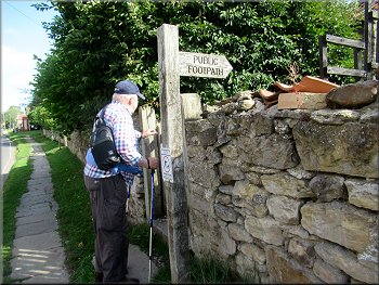
Following the road through Hutton-le-Hole
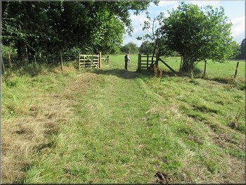
Footpath around the cottages near the church
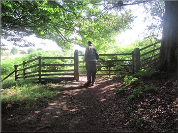
Gate to the field path
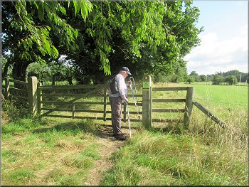
The path kept to the field edge on our left
The grazing cattle had access to both these fields
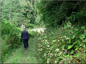
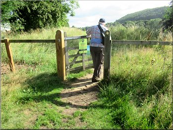
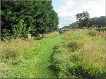
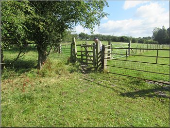
There are a couple of bench seats by the path and a gate to the footpath along the edge of the fields with the fence on our left. We walked along this path through the fields where there were cattle and sheep grazing for about 600m to the edge of some woodland. |
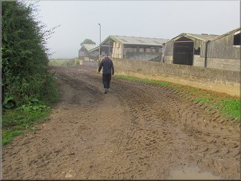
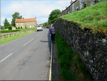
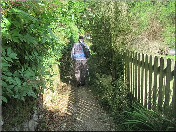
We turned right to walk along the road up through Hutton-le-Hole almost to the little church on the right hand side of the road. Just before we reached the church there is a row of cottages and a pedestrian gate to a footpath around the cottages. The path went behind the cottages and past the side of the little church.
Start of the footpath around the cottages near the church
Footpath to the fields, the church is behind the hedge on the left
Field path away from Hutton-le-Hole
We followed the path across several fields
The last field before the woodland
|
Kissing gate from the field path into the woodland
|
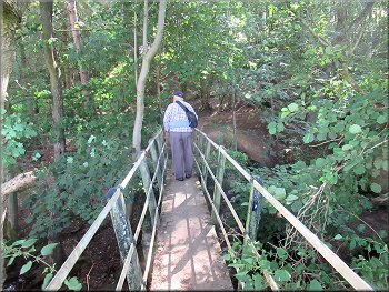
Footbridge over Fairy Call Beck
Following the path to the top edge of the woodland
Gate from the woodland into some open access land
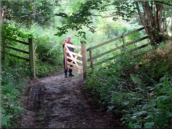
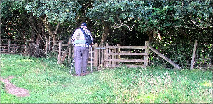
We came to a gate from the woodland into some open access land overgrown with tall bracken and below us on our left we had a glimpse of the road at the Fairy Call Bridge over the beck. |
There was a kissing gate into the woods and just inside the gate the path crossed a footbridge over a stream called Fairy Call Beck. We followed the path climbing up with the beck below us on our left.
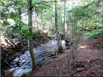
Fairy Call Beck flowing through the woodland
Path around the top edge of the woodland
Path through the bracken across the open access land
|
Path joining the road from the open access land
|
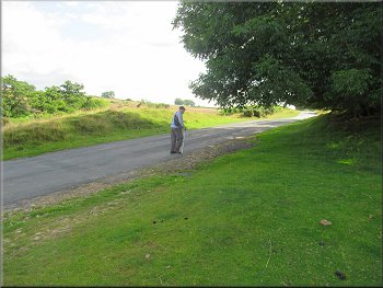
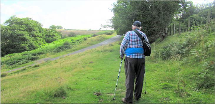
Walking along the road back to our parking spot
Walking along the road back to our parking spot
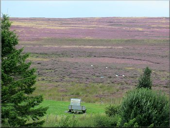
The moors were turning purple as the ling heather was coming into full bloom. The whole route had been about 4.4km and the whole route had taken me about two and a half hours to walk with my wonky knees. |
We continued along the path through the bracken dropping down to meet the road. We walked along the road for about 850m to our parking spot on the road side verge below Spaunton, and the end of our walk.
Walking along the road back to our parking spot
The ling heather was turning the moors purple
|
Returning to our parking spot at the end of our walk
|
