|
2001 walks |
2002
walks |
2003 walks |
2004
walks |
|
2005 walks |
2006
walks |
2007 walks |
2008
walks |
|
2009 walks |
2010
walks |
2011 walks |
2012 walks |
|
2013 walks |
2014 walks |
2015 walks |
2016 walks |
|
2017 walks |
2018 walks |
2019 walks |
2020 walks |
|
2021 walks |
1993-2000 library |
Find a Route Index |
|
A few Routes to print out |
Request a Route... |
Route No. 843 - Thursday 8 July 2021
Penny Pot Lane, Jonah's Lane, Bank End Farm,
Harrogate Link, Haverah Park Top,
Beaver Dyke Reservoir, circuit - 4.3km
Haverah Park, Lower Wharfedale . . .
Route map from an Ordnance Survey
mapping service.
Map: OS Explorer 297 Lower Wharfedale & Washburn Valley

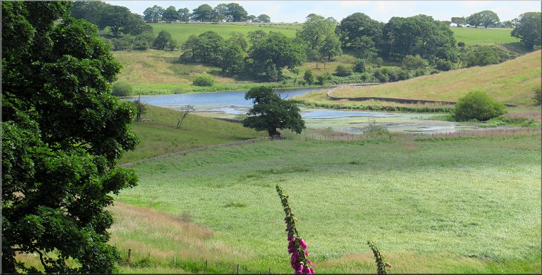
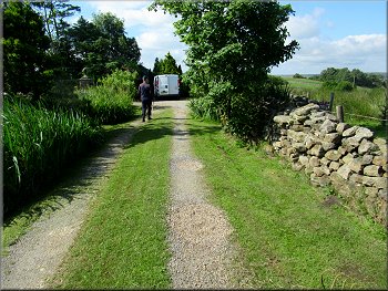
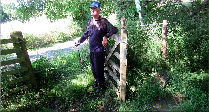
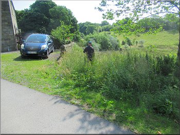
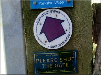
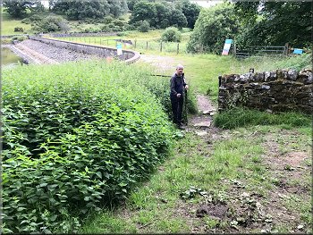
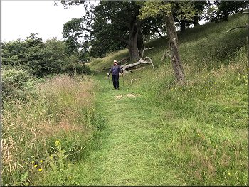
The start of our walk at the 'Haverah Park' car park provided by Yorkshire Water on Penny Pot Lane
There was a good weather forecast for a walk today with clear sky, and warm sunshine. My friend Jim and I drove to a little car park named "Haverah Park" off Penny Pot Lane, about 3km east of Fewston Reservoir at map ref. SE 2150 5519. The little parking area is provided by Yorkshire Water for the use of visitors to Beaver Dyke Reservoir. |

|
|
Setting off along Penny Pot Lane from Haverah Car Park
Turning left off Penny Pot Lane onto Jonah's Lane
Following the bridleway by-passing Trees House Farm
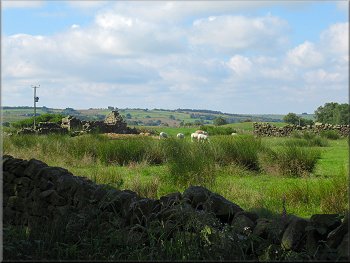
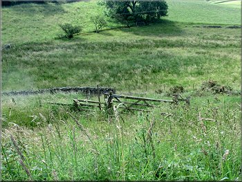
Sheep grazing by a ruined barn next to the track
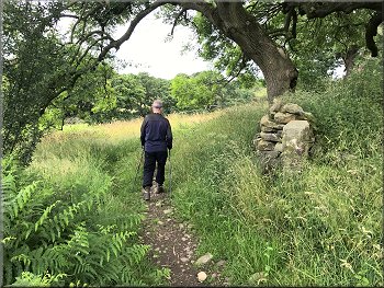
About 300m from Penny Pot Lane, Jonah's Lane turned to our left to the farm. We kept straight on for another 200m to a private house on our left as we followed the track round a right hand bend. |
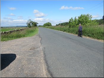
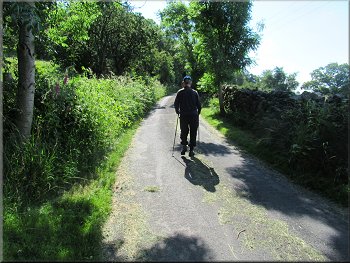
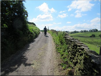
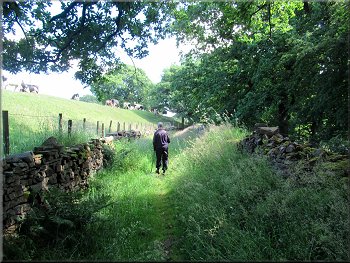
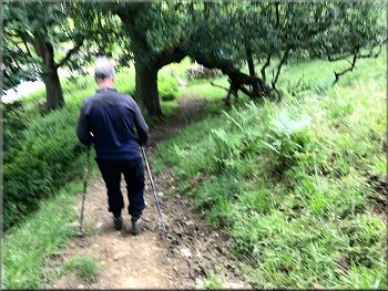
From this car park we set walking westwards, along Penny Pot Lane for about 400m. Here we turned left off Penny Pot Lane along a public bridleway following Jonah's Lane, the access road towards Trees House Farm.
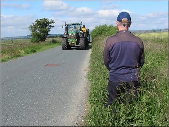
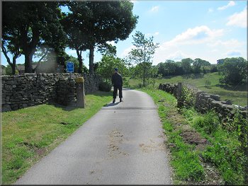
Giving way to one of the many tractors on Penny Pot Lane
Jonah's lane heading towards Trees House Farm
Following the bridleway by-passing Trees House Farm
Nearing a private house where the track bends to our right
|
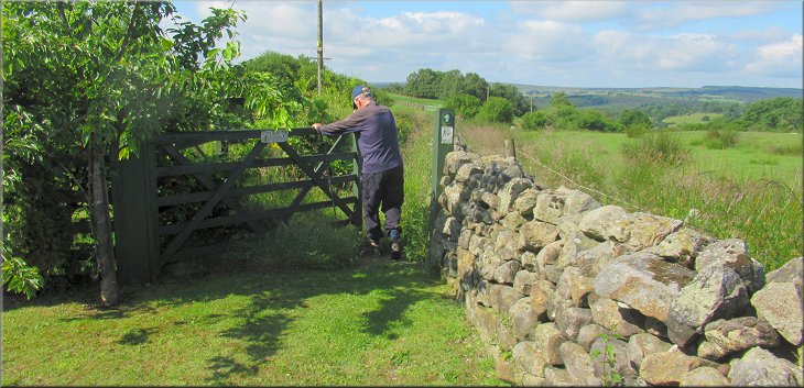
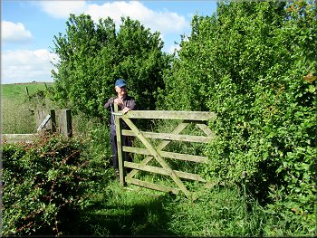
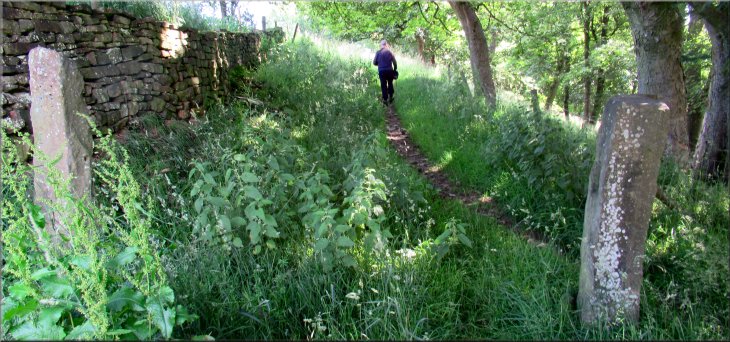
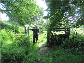
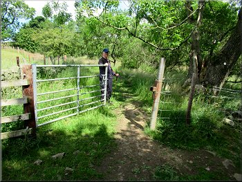
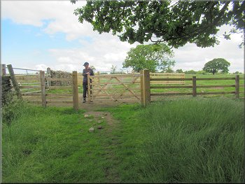
Gate to the old bridleway track by-passing the private house
|
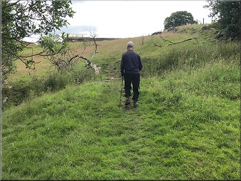
The old bridleway track was overgrown
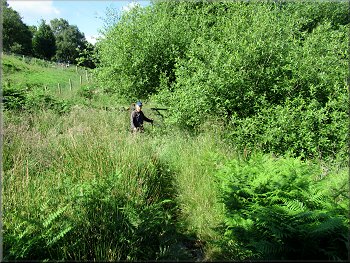
Jim waited by the next gate for me to catch up
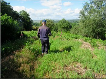
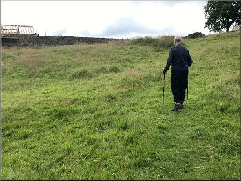
View across the Washburn Valley
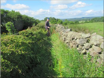
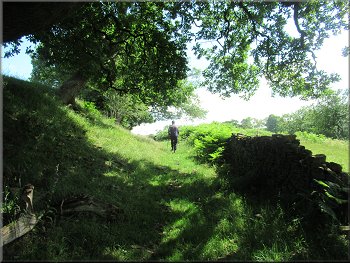
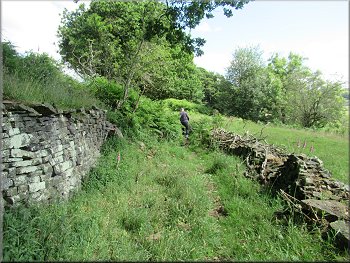
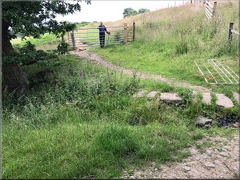
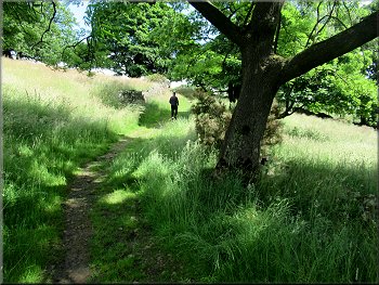
From time to time there were short lengths of the rectangular slabs forming the pannier way exposed in the grass. There were some nice views down towards the Washburn Valley as we picked our way down the steep slope for about 300m to a gate at the bottom onto a public byway with a metalled surface providing access to Bank End Farm. |
Here the public bridleway by-passed the house and garden via a gate at the right hand side of the track. Beyond the gate the whole track was overgrown with some large stones hidden in the grass making walking rather awkward. We soon realised that there had been a paved pannierway along this track.
There were several gates along the old bridleway
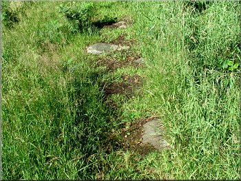
Bits of the old pannier way were exposed like this
Another gate as we dropped down along the bridleway
|
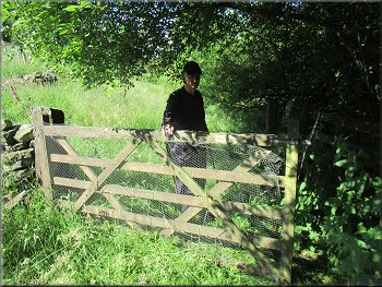
Gate onto the old bridleway where we turned left towards Bank End Farm
|
Following the old byway towards Bank End Farm
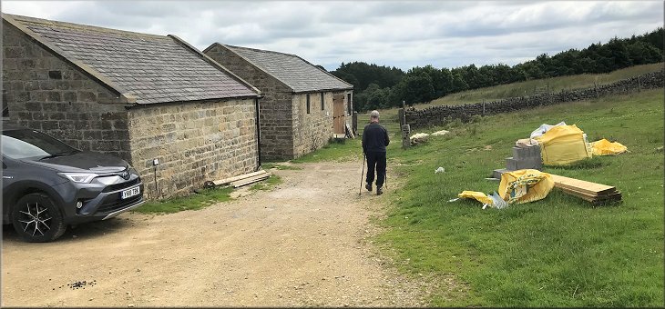
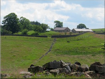
Nearing Bank End Farm along the old byway
Start of the field path around Bank End Farm
Below our path there was another path dropping down through a gate and heading across the fields towards Swinsty reservoir. A few metres further on we joined that path and it is in fact the Harrogate Link, a National Trail from Harrogate to the start of the Dales Way in Ilkley. |
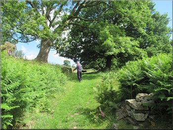
We walked along the surfaced access track to Bank End Farm. Just before the entrance to the farm we turned right off the surfaced track through a field gate to a public bridleway around the farm on our left.
Following the old byway towards Bank End Farm
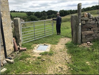
Turning right off the byway at Bank End Farm
The 'Harrogate Link' path below us
|
Through these two stone gate posts our path joined the Harrogate Link path
|
Harrogate Link path heading towards Beaver Dyke Reservoir
Harrogate Link path heading towards Beaver Dyke Reservoir
Harrogate Link path heading towards Beaver Dyke Reservoir
Harrogate Link path heading towards Beaver Dyke Reservoir
Here the Harrogate Link kept straight on, there was a bridleway turning off to our left and there was a public footpath turning down the slope to the head of Beaver Dyke Reservoir. There was a wooden step style at the bottom of the slope leading to a path across the head of the reservoir. |
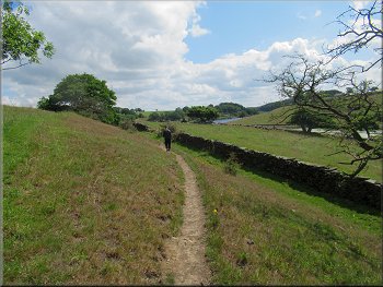
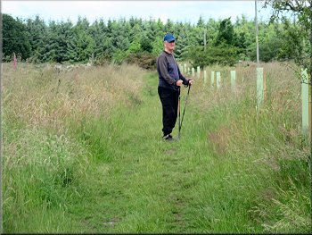
We continued along the bridleway following the route of the Harrogate Link with woodland down the bank on our right and a grassy bank above us on our left to a field where there was a large dairy herd grazing. We continued along the Harrogate Link bridleway for about 700m.

Dairy cattle grazing in the field above the path
The Harrogate Link path runs along this old Byway
Harrogate Link path heading towards Beaver Dyke Reservoir
Harrogate Link path heading towards Beaver Dyke Reservoir
|

We turned right off the Harrogate Link down to a wooden step stile at the bottom of the field
|
|

We dropped down to this stile at the head of Beaver Dyke Res
Looking back, down to the reservoir
We crossed this stile and followed a footpath up the hill side with the field fence on our right hand side. The path continued to climb up the hill side at the edge of the field towards the old farmstead called Haverah Park Top. Below the farmstead we could see the earthworks that are all that remains of a structure called John of Gaunt's Castle on the OS Map, but I believe it was a fortified hunting lodge rather than a full blown castle (see Historic England - John of Gaunt's Castle) |
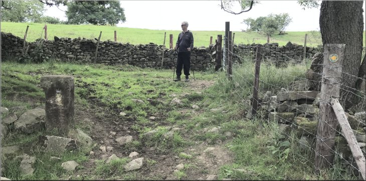
Here the Harrogate Link and a bridleway a bridleway turned off to our left and there was a public footpath turning to our right between two stone gate posts, but no gate. We turned right to pass between the old stone gate posts and walked down the edge of the sloping field next to the wall on our left to a wooden step style at the bottom of the slope leading to a fenced path across the head of the reservoir. We crossed the stile and the head of the reservoir to another stile.
Path up the field edge towards Haverah Top
Nearing the gate to Haverah Top Farm
|
Passing some of the renovated buildings at Haverah Top Farm
|
Start of the path from Haverah Top down to the dam
Gate from the footpath onto the reservoir dam
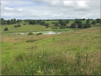
When we reached the dam we could see that the upper reservoir was fairly full of water but the lower reservoir seemed to have been dry for some time and was overgrown with grasses and shrubs and small trees. We crossed the dam and at the far side there was a sign that named the upper reservoir as John of Gaunt's Reservoir. He died in 1399 so probably did not have a lot to do with it. From the end of the dam we passed through a steel field gate and turned left to follow a public footpath that is the route of the Harrogate Link that we followed earlier in the walk. |
The path led us out to a track in front of the Haverah Top Farmstead. The last time I was here about 10 years ago the farmstead was just a ruin. Now it has almost all been renovated and looks as though it will be a group of holiday cottages in a very nice position overlooking the reservoir. From Haverah Park Top we continued along the public footpath down the hillside to the dam across the reservoir. On the OS Explorer map there are two reservoirs called Beaver Dyke Reservoirs.
Path down to the dam from Haverah Top Farm
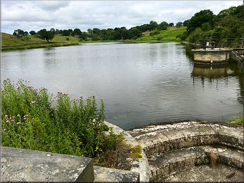
Looking along the reservoir from the spillway
|
Gateway from the dam onto the route of the Harrogate Link where we turned left
|
Following the route of the Harrogate Link around the reservoir
Earthwork remains of John of Gaunt's Castle and
Haverah Park Top farm behind seen across the valley
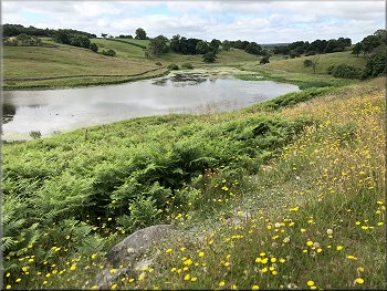
Looking towards the head of the reservoir from the path
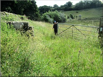
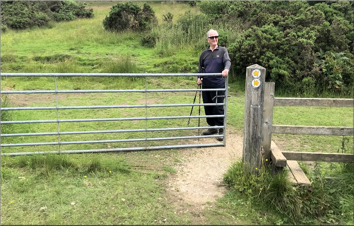
We walked round a large herd of dairy cattle laid chewing the cud in the sunshine. After about 700m from the dam we stayed on the track at the edge of the field and climbed up to a steel field gate in the corner of the field on our right. We turned right to go through this gate leaving the Harrogate Link behind and following another bridleway up the hill side towards Penny Pot Lane and our parking spot. |
We walked along the route of the Harrogate Link for about 700m from the end of the dam climbing a little way up the hill side and then around the first field boundary above the reservoir. After about 350m there were a couple of seats next to the path where we stopped fora drink and just enjoyed the view across the reservoir. After our break we continued along the route of the Harrogate Link.
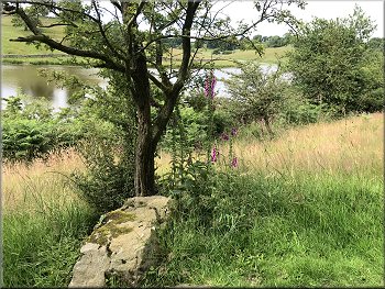
The reservoir seen from the Harrogate Link pathway
Following the route of the Harrogate Link around the reservoir
Following the route of the Harrogate Link around the reservoir
|
At the top of this slope the Harrogate Link turns left & we turned right through a field gate towards Penny Pot Lane
|
|
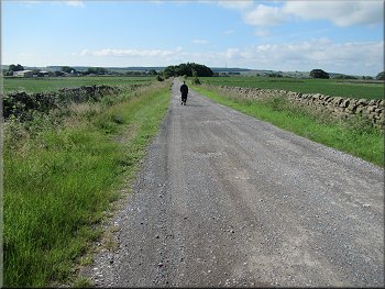
Bridleway heading back to Penny Pot Lane
Crossing a new farm access track
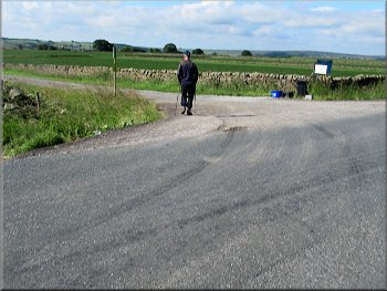
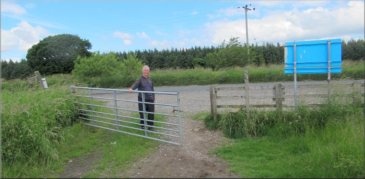
After about 200m we crossed what seemed to be a newly constructed farm access track. Just a few more hundred metres along the bridleway and we were back at the car park and the end of the walk. The whole route was about 4.3km.
My wonky knees and me had taken a total of around three and a half hours to walk this short but interesting and scenic route. |
From the route of the Harrogate Link we turned right to follow a bridleway heading back up to the car park at Penny Pot Lane about 600m away. Looking back across the valley we could see Haverah Park Top and the earthwork remnants of John of Gaunt's Castle although I believe that it was a fortified hunting lodge rather than a full blown Castle.
Bridleway heading back to Penny Pot Lane
Penny Pot Lane & car park are this side of the trees ahead
|
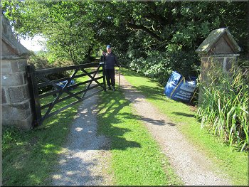
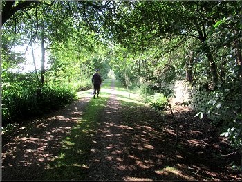
Returning to Penny Pot Lane and the car park at the end of our walk
|