|
2001 walks |
2002
walks |
2003 walks |
2004
walks |
|
2005 walks |
2006
walks |
2007 walks |
2008
walks |
|
2009 walks |
2010
walks |
2011 walks |
2012 walks |
|
2013 walks |
2014 walks |
2015 walks |
2016 walks |
|
2017 walks |
2018 walks |
2019 walks |
2020 walks |
|
2021 walks |
1993-2000 library |
Find a Route Index |
|
A few Routes to print out |
Request a Route... |
Route No. 838 - Thursday 06 May 2021
Skipton-on-Swale, The Camp, Skipton Bridge,
River Swale path, Catton, St John's Church
5km circuit - Skipton–on–Swale, Thirsk . . .
Route map from an Ordnance Survey
mapping service.
Map: OS Explorer 299 Ripon & Boroughbridge
& OS Explorer 302 Northallerton & Thirsk
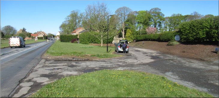
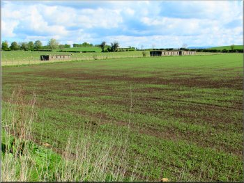
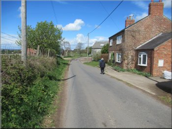
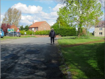
Our parking spot off the A61 on the eastern edge of Skipton-on-Swale
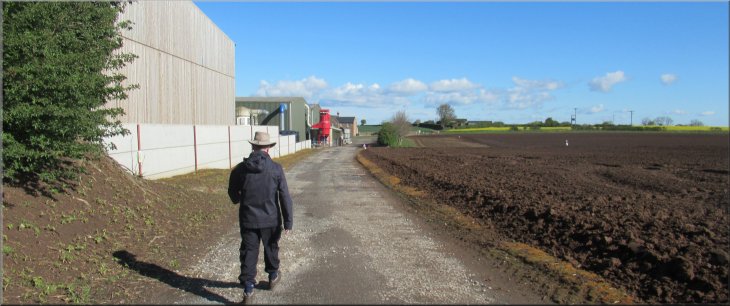
The weather today was perfect for a walk with clear skies, bright sunshine and a gentle breeze. My friend, Jim, and I drove separately to the village of Skipton-on-Swale on the A61 about 5km to the west of Thirsk. We parked off the road at the eastern edge of the village at map ref. SE 368 798. In the past the A61 here has been straightened out leaving the old road making a loop to the north of the newer road. |

|
|
Turning left onto the bridleway towards Sandholme Farm
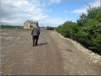
The bridleway followed the private road towards Sandholme Farm, with St. John's Church now on our left at the junction. We walked past the factory of Bedwell Bedding on our left where straw bedding for horses and poultry is produced. |
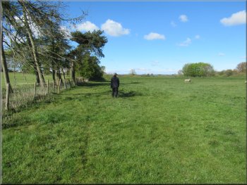
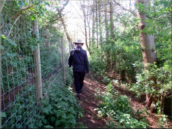
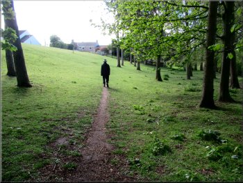
From our parking spot we set off along the old road past a row of cottages on our left. Opposite the cottages we turned right along a public bridleway indicated by a wooden finger post almost lost in the hedge on the left hand side of the private road.
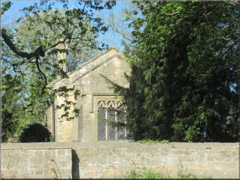
A glimpse of St John's church on our left
|
Passing the factory of Bedwell Bedding on the bridleway following the farm access road
|
Stony area between the factory& the grass by the brick house
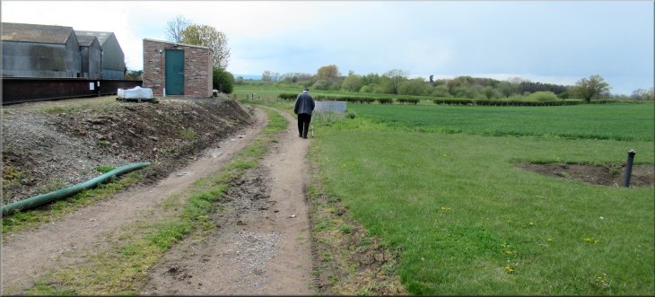
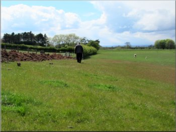
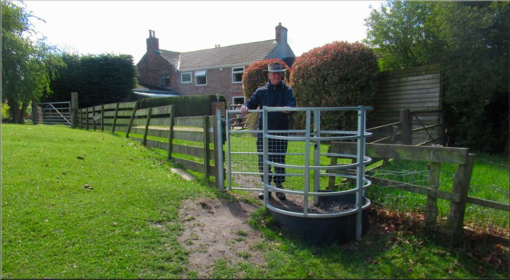
At the end of the farm buildings and the stony yard around them we turned left off the bridleway along a public footpath following a farm access track around the edge of the grassland in front of the large brick house (no footpath signs that I noticed). We walked along the public footpath along the farm track between the grassland on our right and the complex of farm buildings on our left. |
As we came to the end of the farm buildings on our left and ahead of us there was a large brick built house with a small grass field between the house and the farm buildings. I did not notice any sign posts here but the bridleway continues straight ahead passing the large brick house to the left of the track.

Turning onto the track between the stony area
|
Following the public footpath between the farm buildings and the grassland in front of the brick house
|
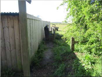
We passed through the small gate tied up with baler twine
Path along the field edge next to a trench dug for a pipeline
Continuing along the edge of the field towards the River Swale
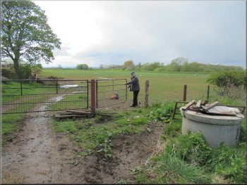
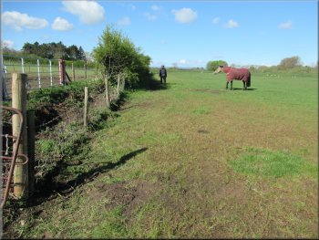
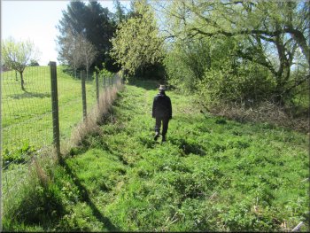
We kept as close as we could to the field edge. We passed a stile on our left where another footpath from the A61 in the village joined our path. There were a couple of faded footpath waymark signs on the stile. We continued along the edge of the field for about 300m from the stile to the top of the flood bank at the River Swale. |
After about 100m from our turning we came to a steel farm gate across the track and a smaller gate to the right of it. The smaller gate was fastened with yellow baler twine with a large bow (like shoelaces). We passed through this gate and continued along the left hand edge of the field. There was a trench dug for a pipeline along the edge of the field.
Following the footpath along the edge of the field
Continuing along the edge of the field
Nearing the flood bank at the River Swale
|
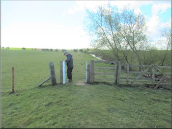
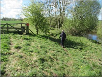
An awkward stile on top of the flood bank by the River Swale
|
Path between a wire fence and the river on our right
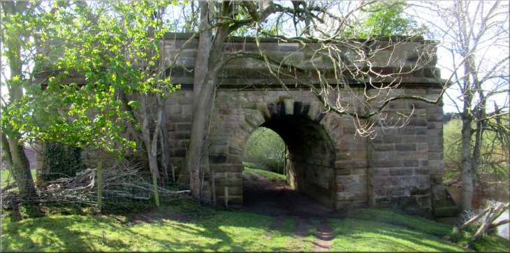
Skipton Bridge on the A61 ahead of us
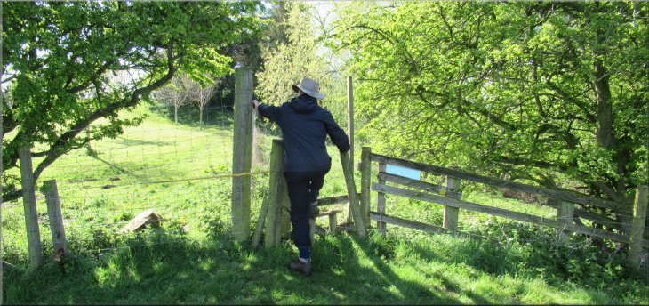
After a little over 100m the stone arch structure of Skipton Bridge was just ahead of us and the public footpath turned left keeping a low stone wall on our right. After about 50m we came to a stile over the wall on our right. We crossed the stile and came out onto the A61 just at the end of Skipton Bridge. |
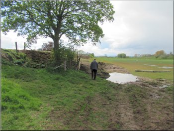
At the top of the flood bank we turned left to walk along the top of the flood bank immediately ahead of us there was an awkward stile. The fence posts has rotted off and the whole fence moved about but the stile itself seemed to be fairly firm. We crossed this wonky stile and continued on top of the flood bank with a tall wire fence on our left.
Path between a wire fence and the river on our right
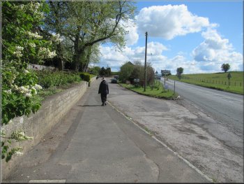
We turned left walking parallel to the A61
|

We crossed this stile on our right onto the A61
|
Crossing the A61 to the footpath opposite
Path along the top of the River Swale flood bank

Simmental cattle at Hall Farm
After about 650m along the flood bank path we noticed a number of ruined buildings in the fields between the river and the lane from Catton village. The stile of the buildings was clearly World War 2 and it seems probable that these accommodation buildings were to house ground crews away from attacks on the large wartime airfield just to the north of Skipton-on-Swale, RAF Skipton-on-Swale. The old airfield site is now used by turkey farmers. |
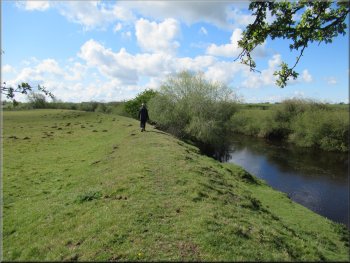
We crossed the A61 and continued along the footpath opposite indicated by a wooden finger post. We crossed a stile into a field and kept to the right hand edge of the field. After about 30m we came to the top of the flood bank by the River Swale. We turned left and walked along the public footpath on top of the flood bank, down stream, away from Skipton Bridge.
Path from the A61 to the River Swale flood bank
Making our way along the flood bank footpath
The flood bank footpath heading towards Catton
|
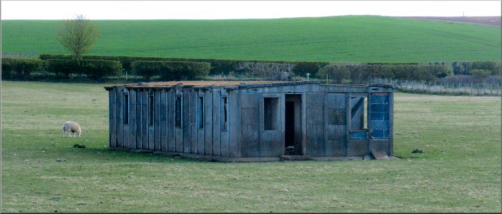
One of several WW2 accommodation buildings safely away from the RAF airfield just north of Skipton-on-Swale
|
WW2 buildings linked to the WW2 RAF Skipton-on Swale
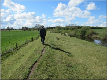
The flood bank path leading towards Catton
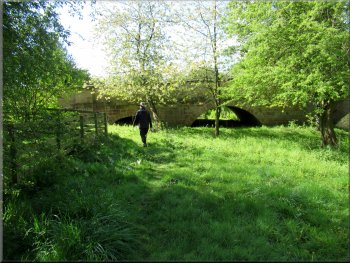
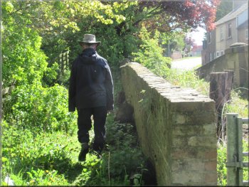
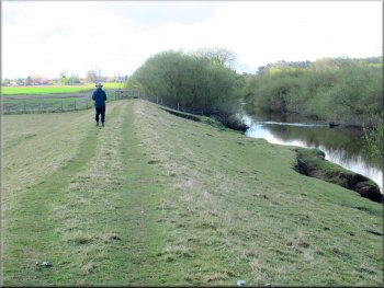
This stone structure is all that remains of the railway bridge carrying the Thirsk to Ripon railway over the River Swale. |
We continued along the top of the flood bank for about another 600m to a large stone structure across the flood bank.
The flood bank path leading towards Catton
The flood bank path leading towards Catton
|
Remains of the railway bridge that carried the line from Thirsk over the River Swale to join the Leeds/Northallerton line at Ripon
|
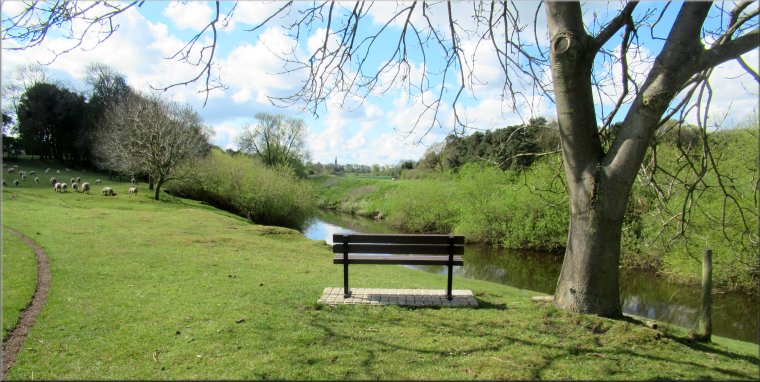
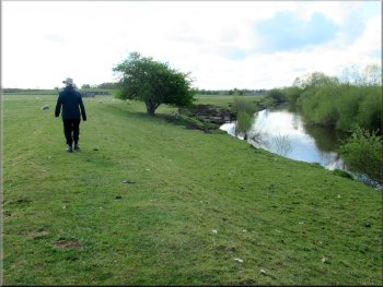
View point seat looking downstream along the River Swale
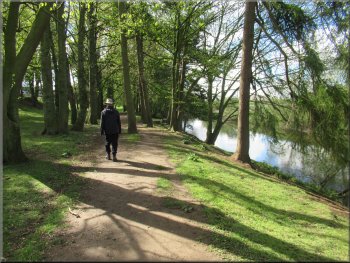
River side footpath leading to Catton village
After another 150m the footpath began to bear left away from the river and climbed up to a kissing gate that led into the end of the village street in Catton. |
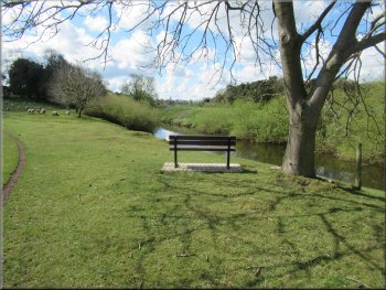
About 150m past the remains of the railway bridge there was a seat on the flood bank with a lovely view looking downstream along the River Swale.
River side footpath leading to Catton village
Path climbing up from the river to Catton village
|
Kissing gate from the field path to the village street in Catton
|
Walking through Catton village
The road from Catton village
Returning to Skipton-on-Swale
Keeping left off the A61 to pass in front of St John's Church
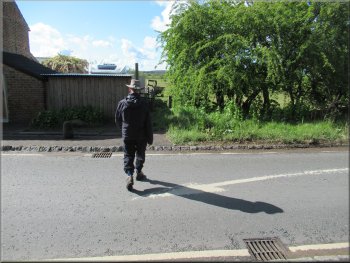
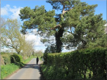
At the A61 we turned right and walked along the A61 for about 40m and then kept left along the old road past St John's Church back to our parking spot and the end of our walk. The whole route had been 5km and it had taken me almost three hours to walk it. |
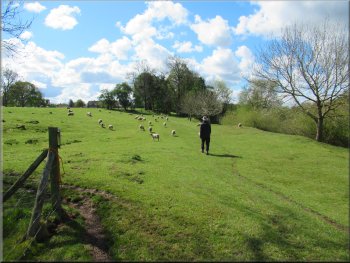
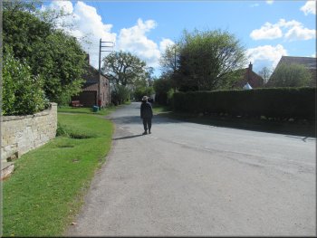
Just through the kissing gate we turned left to walk along the street through the village. After about 270m we had left the village and came to a left hand bend in the road. We walked along the road round the bend and continued generally northwards along the road for about 1.8km back to the junction with the A61 in Skipton-on-Swale.
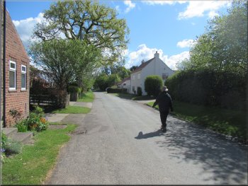
Walking through Catton village
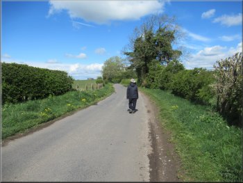
The road from Catton to Skipton-on-Swale
Nearing the A61 junction in Skipton-on-Swale
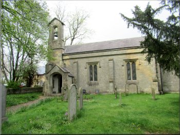
St John's Church on our left
|
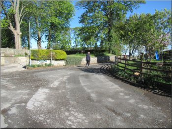
Returning to our parking spots at the end of our walk
|