|
2001 walks |
2002
walks |
2003 walks |
2004
walks |
|
2005 walks |
2006
walks |
2007 walks |
2008
walks |
|
2009 walks |
2010
walks |
2011 walks |
2012 walks |
|
2013 walks |
2014 walks |
2015 walks |
2016 walks |
|
2017 walks |
2018 walks |
2019 walks |
2020 walks |
|
2021 walks |
1993-2000 library |
Find a Route Index |
|
A few Routes to print out |
Request a Route... |
Route No. 831 - Thursday 18 March 2021
Main Street, Gracious Street, Hurn Road,
Kirk Moor Fm, Skates La, Cemetery, Ox Close La,
Stillington Road, Main Street circuit - 4.4km
Huby, Vale of York . . .
Route map from an Ordnance Survey
mapping service.
Map: OS Explorer 299 Ripon & Boroughbridge (for Huby village) and
OS Explorer 300 Howardian Hills & Malton (for the rest of the route)
Huby Village Walks No 4 - Gracious Street and Cemetery
Leaflets from Huby Village Website - www.hubyvillage.org.uk
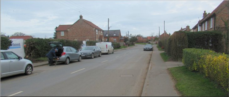
On-street parking on Main Street, Huby
|

|
|
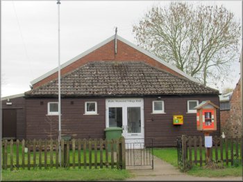
Huby village hall on Main Street
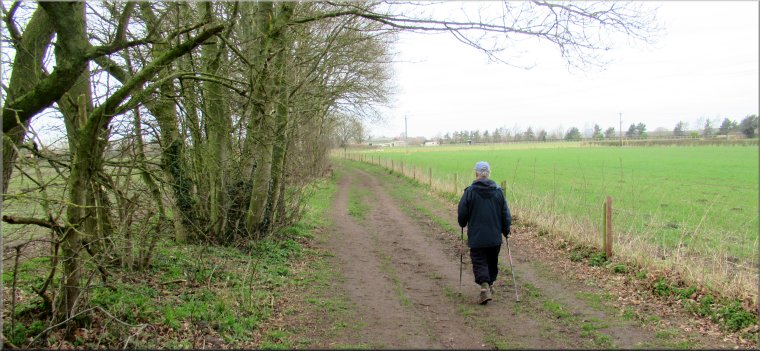
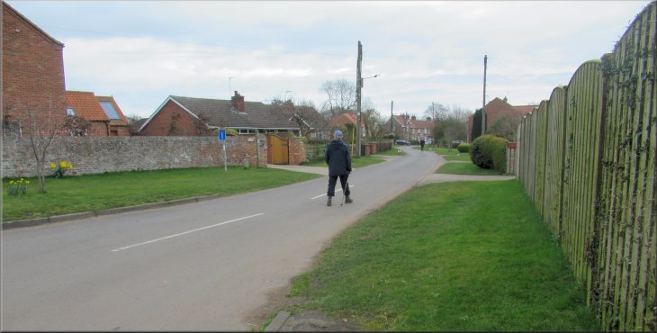
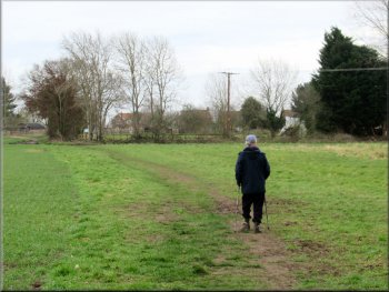
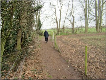
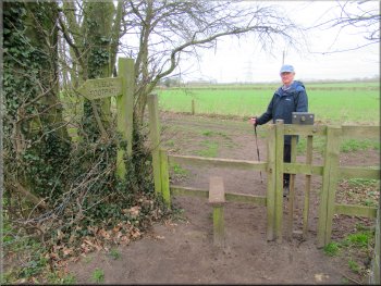
We walked the route number 4 from the Huby Village Walks series called, "Gracious Street and Cemetery". The precise length of the walk depends on how close to the village store you park. From the on-street parking we walked northwards along Main Street away from the village store towards the junction with Gracious Street on the right hand side of Main Street. Near the junction we passed the Huby Village Hall on our right. |
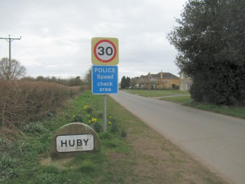
The centre of the village of Huby lies about 7km to the south east of the centre of Easingwold. (there are other villages called Huby not too far away) The Huby Village Walks Group have published a series of 10 short walks in and around the village, so for a change to repeating the same old walks around Easingwold my friend Jim and I drove separately to Huby this morning.
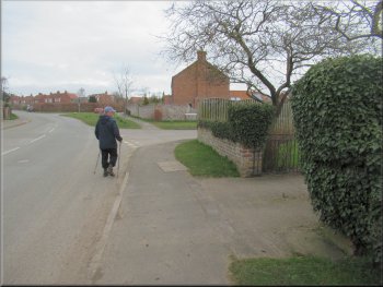
About to turn right off Main Street onto Gracious Street
|
Walking along Gracious Street from Main Street
|
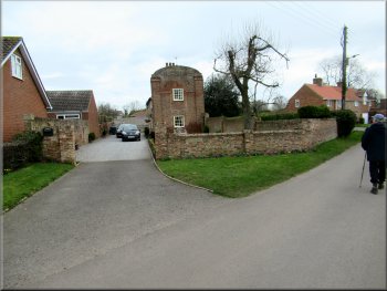
Huby Old Hall on Gracious Street
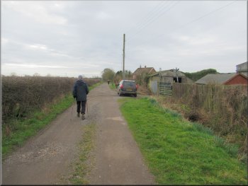
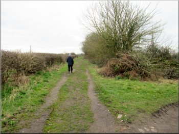
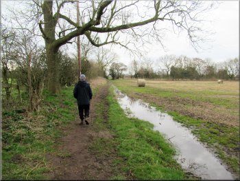
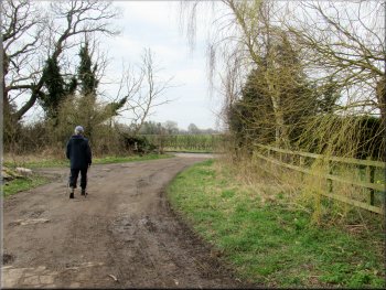
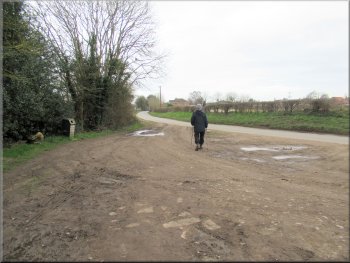
Passing Kirk Moor Farm
We passed the farm and continued following a public footpath along a farm track. About 150m past the farm there was a farm gate across the track and a narrow fenced footpath at the right hand end of the gate next to the hedge. |
At the junction we turned right to walk along Gracious Street past Huby Old Hall on the left hand side of the road.
We walked to the end of Gracious Street and continued along Hurn Road towards Kirk Moor Farm.
Hurn Road heading for Kirk Moor Farm
Public footpath along a farm track from Kirk Moor Farm
|
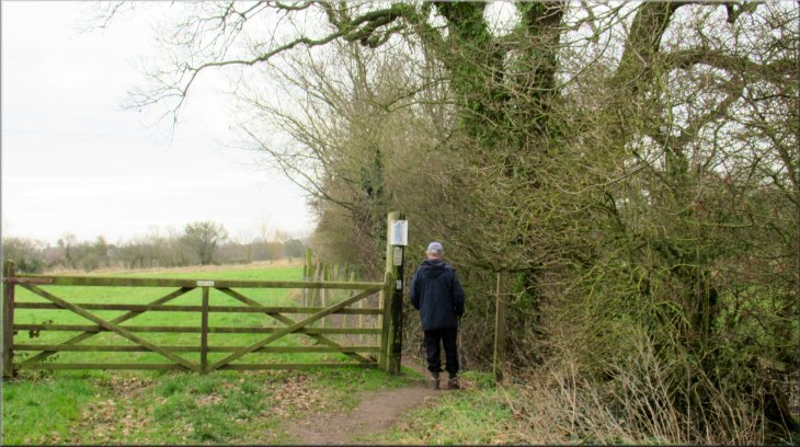
Narrow fenced path by the hedge at the right hand side of the track
|
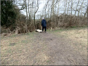
Path turning right to cross the hedge
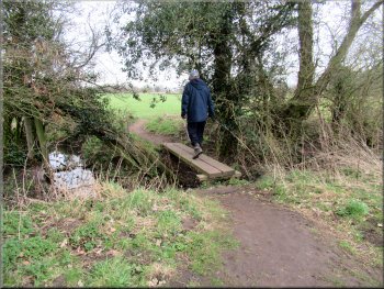
Plank footbridge across a small stream
The field itself seemed to be quite waterlogged. At the end of the field we came to a wooden plank footbridge over a small stream. Across the footbridge there was a clear path across the next field to a bend in a farm track on the far side of the field. |
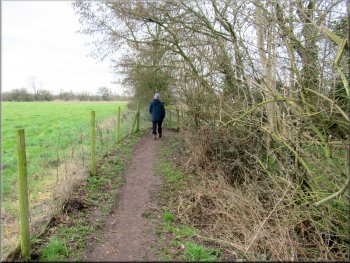
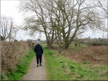
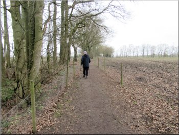
We walked along this fenced path to the corner of the field where the path turned sharp right through the hedge and then sharp left to continue along the edge of the next field now with the hedge on our left. There was a clear firm path at the edge of the field with a hedge on our left.
Path at the edge of the next field with the hedge on our left
Clear footpath from the footbridge across the next field
|
Waymark post where the footpath across the field joins the farm track at a bend
|
Footpath along a farm track leading to Skates Lane
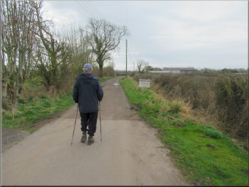
We turned left to walk along Skates Lane
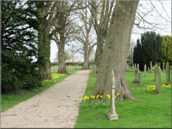
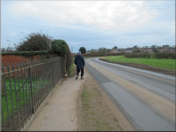
All Hallow Church cemetery
At the road we turned left and walked along the tarmac footway beside the road towards Stockton-on-Forest. After about 500m we came to the cemetery of All Hallows Church on our left. |
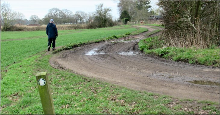
At the farm track there was a way-mark post indicating that the public footpath followed the farm track. We walked along the farm track for almost 300m and emerged onto Skates Lane.
About to join Skates Lane
Walking along Skates Lane towards the cemetery
Passing the cemetery on Skates Lane
|
Turning left off Skates Lane onto a public footpath along a farm track
|
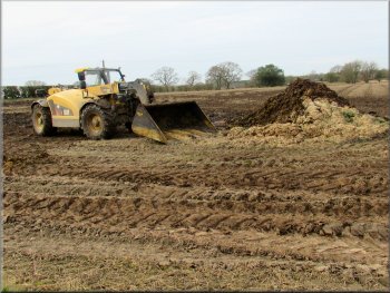
Large loading shovel in the field by the path . . .
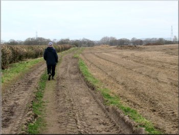
Path along a farm track heading towards Ox Close Lane
Footbridge over a ditch at the end of the field
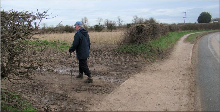
Here the hedge on our left stopped and there was a well walked path across a large open field. At the far side of the field there were a couple of small footbridges over ditches amongst the trees and a little further on there was a pond on the left of the path. |
Just past the cemetery we turned left to follow a public footpath along a farm track at the side of the cemetery. From the end of the cemetery we continued following the public footpath along the farm track for about 500m.
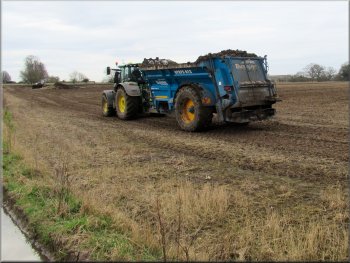
. . . working with an even larger tractor and muck spreader
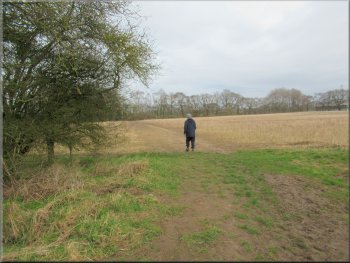
End of the hedge and a clear path across the open field ahead
Fenced path at the edge of the field
|
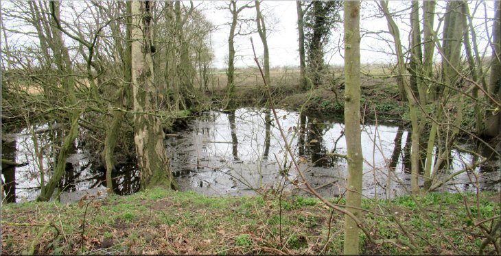
Pond next to the fenced footpath
|
Fenced footpath leading to Ox Close Lane
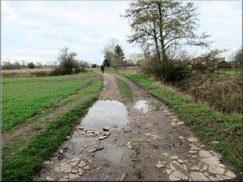
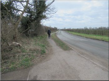
Ox Close Lane heading for Stillington Road
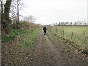
Following Stillington Road into Huby
At Stillington Road we continued in the same direction walking along Stillington Road into Huby for about 500m to the road junction with Sand Lane/Main Street. From this junction we turned left to walk along Main Street back to our cars and the end of our walk. The whole walk had taken me about 1 hour 45 minutes. |
From the pond the footpath was fenced at the side of an arable field. We walked along the fenced path for about 150m to a stile onto a well walked track. This track is Ox Close Lane where we turned left and walked along the track for about 450m to join Stillington Road.
Style from the footpath onto Ox Close Lane
The junction of Ox Close Lane and Stillington Road
Following Stillington Road to its junction with Main Street
|
Turning onto Main Street heading for our cars and the end of the walk
|