|
2001 walks |
2002
walks |
2003 walks |
2004
walks |
|
2005 walks |
2006
walks |
2007 walks |
2008
walks |
|
2009 walks |
2010
walks |
2011 walks |
2012 walks |
|
2013 walks |
2014 walks |
2015 walks |
2016 walks |
|
2017 walks |
2018 walks |
2019 walks |
2020 walks |
|
2021 walks |
1993-2000 library |
Find a Route Index |
|
A few Routes to print out |
Request a Route... |
Route No. 824 - Thursday 1 October 2020
Gairloch Harbour, Flowerdale Waterfall walk
and return to the car park - 4km
Gairloch, Wester Ross, Scotland . . .
Route map from Ordnance Survey
Open Space service.
Map: OS Explorer 434 Gairloch & Loch Ewe
Note: this walk can easily be joined to route no 823
to make a walk of about 6.5km

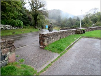
On a sunny day earlier in the week I took this photo of the little stone arch bridge next to the car park at the start of today's walk
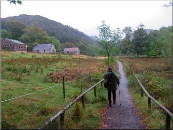
This week my wife and I are staying in a holiday cottage overlooking Lock Ewe on the north western coast of Scotland near Poolewe. The scenery is wonderful with the shapes of the craggy mountains all around us. This morning we drove over the ridge from Poolewe to Gairloch and parked at the start of Flowerdale in the car park next to the A832 on the bank of Abhainn Ghlas (Green River). It was a rainy overcast day and it looked set to stay like that. |

|
|
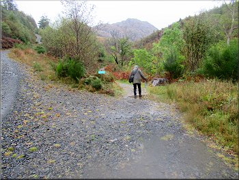
Leaving the car park in the rain at the start of our walk
Pretty pond by the path
The turning to our left is to the Arboretum Walk
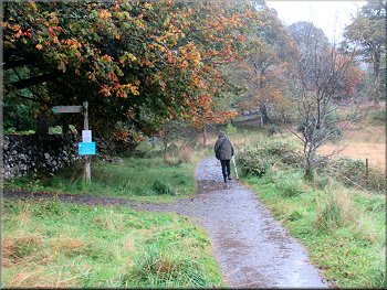
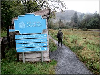
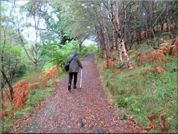
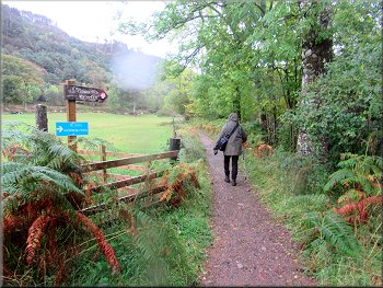
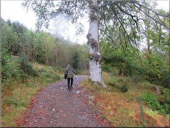
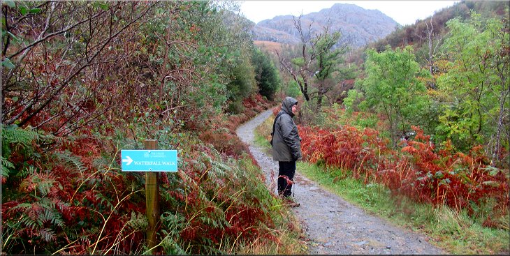
About 250m from the information kiosk there was a turning to our left where a sign informed us it was the way to the Arboretum Walk, but our route along the Waterfall Walk was straight on along the path. The path bent to our right and after another 150m we turned right at another blue sign following the wide path along an avenue of tall trees. |
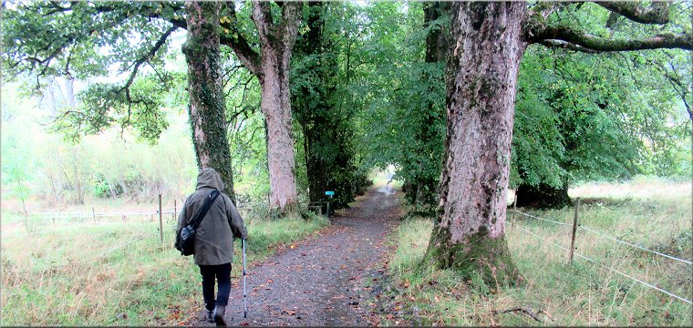
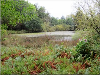
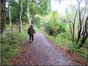
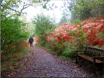
We left the car park and followed the track heading north east and named Waterfall Walk at the little information kiosk by the path about 30 metres from the car park. There was a good path all the way with blue signs at the turnings. From the information kiosk we followed the clear path with a large pond surrounded by trees on our right.
Signs on the end of the information kiosk
Following the clear path
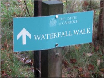
Turns in the route were marked by these signs
|
Our left turn from the avenue of tall trees to this fenced path across the field
|
The hill called Meall Fuaraidh, 369m, ahead & to our left
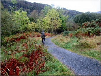
Following the edge of the woodland
Following the edge of the woodland
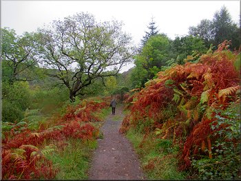
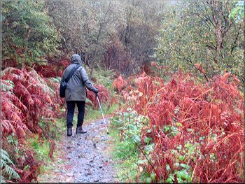
We continued around the edge of some woodland for a total of about 500m until we came to a wide access track. At this track we turned left and followed the track over a bridge across the river, Abhainn Ghlas. |
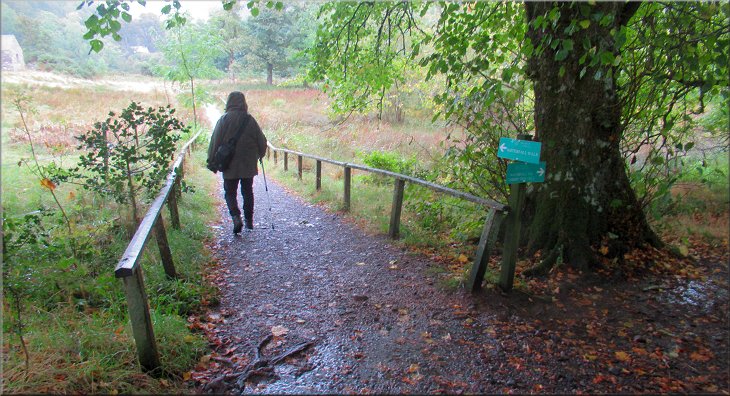
After about 50m along the avenue we turned left at another blue sign along a fenced path across the field. We continued along the clear path across the first field, around the edge of the next field.
Path around the edge of the field
Following the edge of the woodland
We turned left onto this access track
|
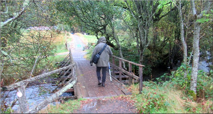
We followed the track over a bridge across the river, Abhainn Ghlas, and at once turned right to follow the river
We continued around the edge of some woodland for a total of about 500m until we came to a wide access track. At this track we turned left and followed the track over a bridge across the river, Abhainn Ghlas. |
Clear path with the river in the trees on our right
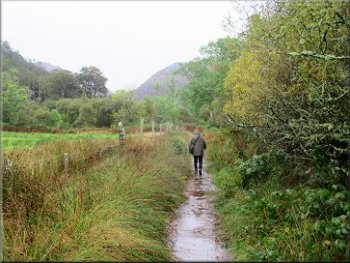
Joining the main access track up the valley
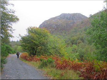
The hill called An Groban, 383m, ahead & to our right
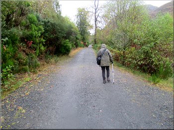
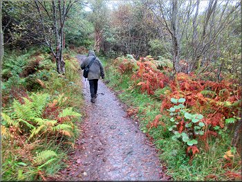
We walked along this track for about 700m to a fork where the main track continued straight ahead and the blue Waterfall Walk sign indicated that we should follow the narrower path along the right hand fork. |
Just across the bridge we turned right and followed the track bending to our right along the edge of the trees next to the river for about 200m to join a wide forest access track with the river below us on our right.
Clear path with the river in the trees on our right
Following the main access track up the valley
We followed the right hand fork signed to the waterfall
|
The last 100m along the path to the waterfall
|
Following the narrow path to the waterfall
Following the narrow path to the waterfall
As we approached the bridge we could see a small printed notice pinned to the bridge deck. The notice warned that the bridge was unsafe and should not be crossed. We believed the notice and my wife did not want to go any further. |
We walked along this track for about 100m with the turbulent river below us on our right until we came to a dilapidated wooden bridge over the river, just upstream of a fork in the river.
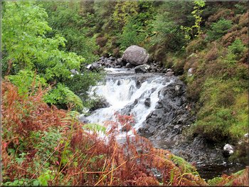
Little cascade in the turbulent river below us
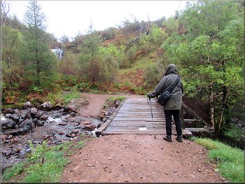
Looking at the dilapidated bridge
|
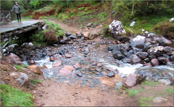
Looking back across the rocky ford where my wife waited patiently in the rain
|
We could just see a large waterfall ahead through the trees so I picked my way across the rough rocky ford just upstream of the bridge. Looking upstream the rocky ford was across the left hand fork in the river and the waterfall was on the right hand fork in the river. From the track on the other side of the ford I had a good view of the waterfall. After taking a couple of photos I crossed back over the rocky ford and we retraced out route back to the car park and the end of our walk.
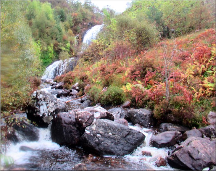
My view of the waterfall
|
The whole walk had been about 4km ( the Waterfall Walk continued up to the top of waterfall I had seen but I do not know how accessible it is) The walk had taken us about 2hours. The rain had been incessant and we were both soaking wet so we headed back to our cottage on Loch Ewe for a change of clothes and some lunch. Probably time to invest in some new anoraks.
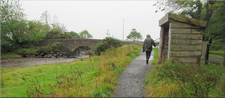
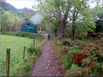
Returning to the car park past the information kiosk at the end of our walk
|