|
2001 walks |
2002
walks |
2003 walks |
2004
walks |
|
2005 walks |
2006
walks |
2007 walks |
2008
walks |
|
2009 walks |
2010
walks |
2011 walks |
2012 walks |
|
2013 walks |
2014 walks |
2015 walks |
2016 walks |
|
2017 walks |
2018 walks |
2019 walks |
2020 walks |
|
2021 walks |
1993-2000 library |
Find a Route Index |
|
A few Routes to print out |
Request a Route... |
Route No. 823 - Tuesday 29 September 2020
Gaineamh Mhor, headland to Gairloch Harbour,
return along the roadside footpath - 2.3km circuit
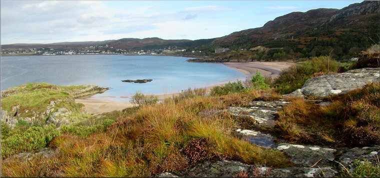
Gairloch, Wester Ross, Scotland . . .
Route map from Ordnance Survey
Open Space service.
Map: OS Explorer 434 Gairloch & Loch Ewe
Note: this walk can easily be joined to route no 824
to make a walk of about 6.5km
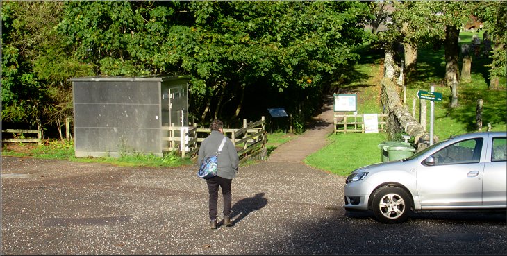
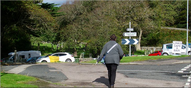
Setting off from the car park along the path to the beach
This week my wife and I are staying in a holiday cottage overlooking Lock Ewe on the north western coast of Scotland. The scenery is wonderful with the shapes of the craggy mountains all around us. This morning we drove over the ridge from Poolewe to Gairloch and parked, opposite Gairloch Church of Scotland, in the car park next to Gairloch beach, called Gaineamh Mhor or 'Great Sands' at map ref. NG 807 756. |

|
|
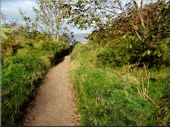
Path from the car park to the beach
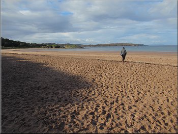
Crossing the beach to the sea
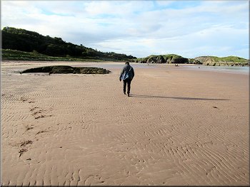
Heading south across the beach
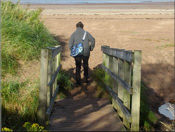
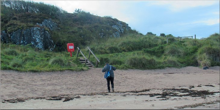
As we neared the far end of the beach we could see a few steps up off the beach with a red life belt on a stand at the top of the steps. At the top of the steps there was the path across the dunes that could be used if the beach is flooded by the tide. |
We followed the path from the car park down to the beach. The tide was well out and so we walked across the sands near the water's edge. (If the tide is in there is a path along the dunes) There were many dead jellyfish left on the sand by the ebbing tide.
At the beach
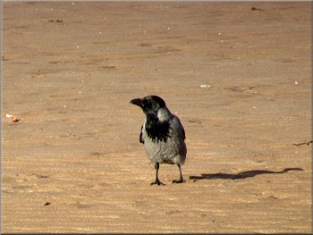
Hooded Crow on the beach
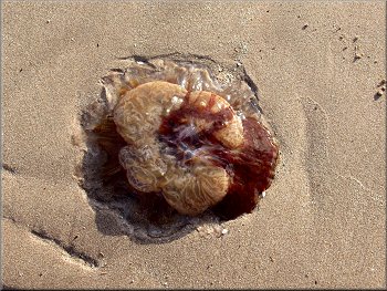
One of many dead jellyfish stranded on the beach
|
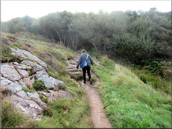
Steps from the beach to the path up the headland
|
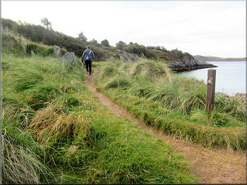
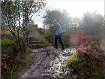
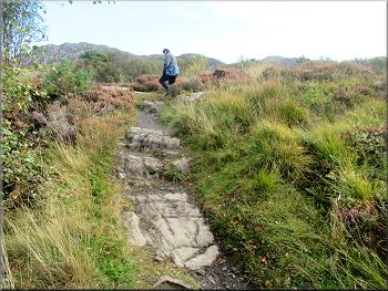
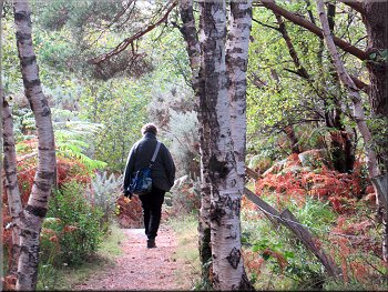
There was a good path leading up the headland
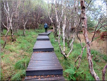
Boardwalk into the trees
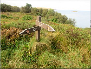
There were even sign posts on the path
Almost at the top of the headland
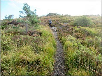
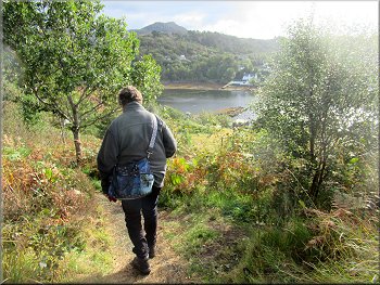
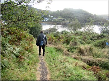
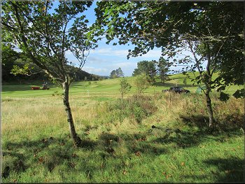
After a while the path led us out of the trees to some open rocky ground on top of the headland with a fine view of Gairloch across the bay. |
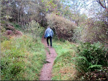
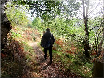
We turned right to follow the path starting to climb up the headland. We continued up the path to the trees near the top of the headland where there was a board walk over some rough wet ground through the trees.
Clear path leading us up to the trees
Still a good path through the trees
Almost at the top of the headland
At the top
|
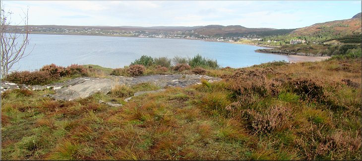
Looking across the bay from the top of the headland
|
Starting the descent to the harbour
The wooded bank was very pretty in the sunshine
A glimpse of the pier at the harbour
Nearing the bottom of the descent to the harbour
We emerged from the trees through a yard onto the road by Gairloch Harbour. At the road we turned left to walk along the road. There was a cafe up some steps on our left where we stopped (complete with our face masks against the virus) for our lunch. |
We followed the path across the top of the headland to the trees on the far side where the path began to descend through the trees towards the harbour. It was quite a long descent with some steps at the steepest point.
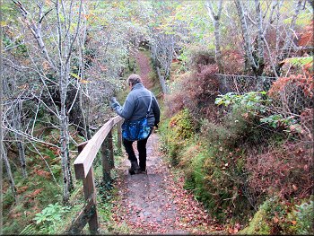
The descent was quite steep in places
The wooded bank was very pretty in the sunshine
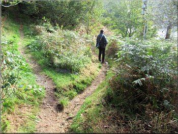
We kept to the right hand fork going downhill
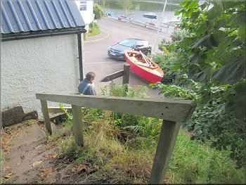
Steps to the yard by the road at the harbour
|
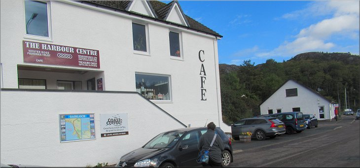
Cafe at the roadside where we stopped for lunch
|
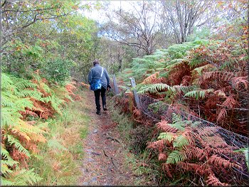
Harbour road heading for the junction with the A832
Golf links to the left of the road
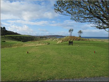
The golf links between the road and the beach
From the road junction we turned left to walk along the roadside footway back to the car park above the beach and the end of our walk. The whole route was only 2.3km but it was a very pretty and enjoyable walk. |
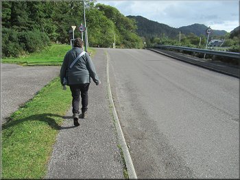
After our lunch we continued along the road to the junction with the A832. (At the road junction there is a car park opposite where route824 starts and ends ( there will be a link here soon). That route can be added to today's route for a longer walk.)
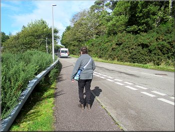
The A832 heading back to the car park
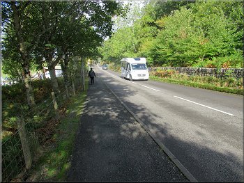
The A832 heading back to the car park
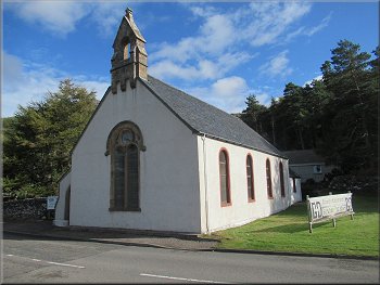
Gairloch Church of Scotland opposite the car park entrance
|
Returning to the beach car park at the end of our walk
|