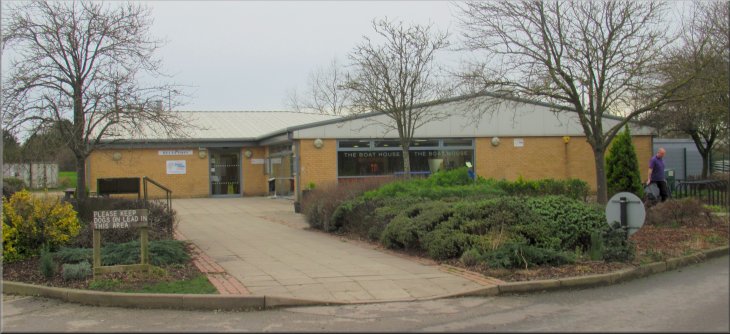
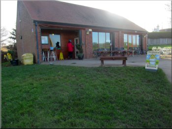
The visitor centre at Pugneys Country Park
Note: This route is all on public footpaths and public rights of way. The paths to the east of the A636 are not marked on my OS Explorer map as public footpaths but on the ground they have been sign-posted as 'Public Rights of Way' by Wakefield Council. |

|
|
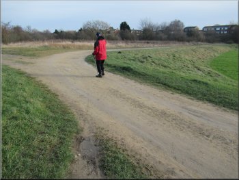
Walking back from the car park to the roundabout on the A636
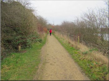
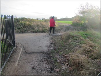
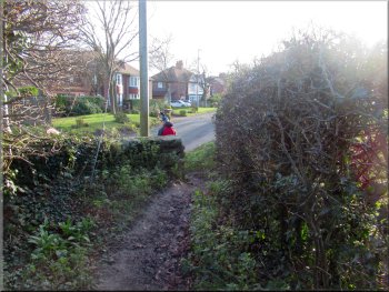
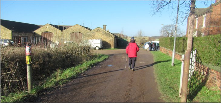
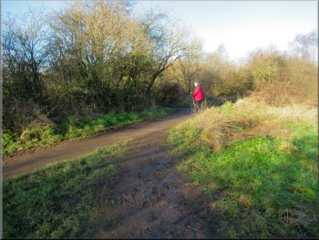
Turning off the road on a footpath past the office buildings
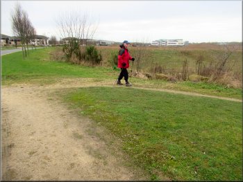
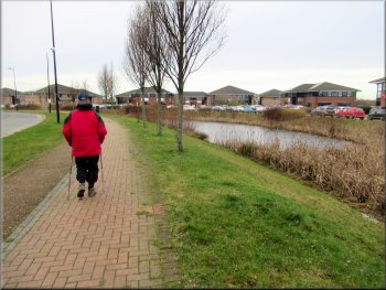
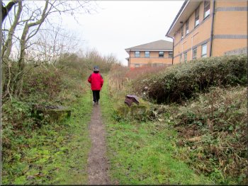
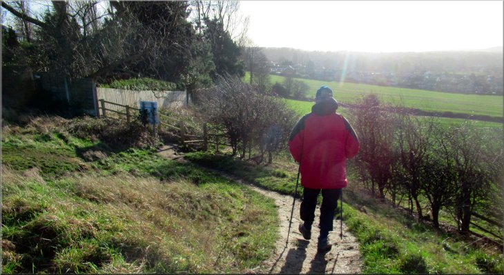
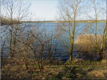
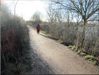
Once we were across the A636 we turned left and walked a few metres to the road into the Calder Park industrial estate. We walked along the road into the estate where there was an ornamental pond fringed by tall reeds between the road and the offices buildings. After about 250m along the road we turned right off the road to walk along a public footpath between the commercial offices and some open land. We followed this path for about 200m to an embankment around two large lakes formed by flooded gravel pits. |
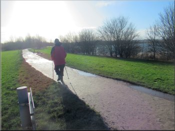
This morning my friend, Jim, and I drove down the M1 to junction 39 where we turned off the motorway onto the A636. About 1km from the M1 along the A636 we turned right off the A636 at a large roundabout and entered the Pugneys Country Park. We parked in the large 'Pay-and-Display' car park next to the visitor centre. We began our walk from the car park by returning to the large roundabout on the A636. We crossed the A636 dual carriageway after waiting patiently for a gap in the busy traffic.
Following the road into the Calder Park industrial estate
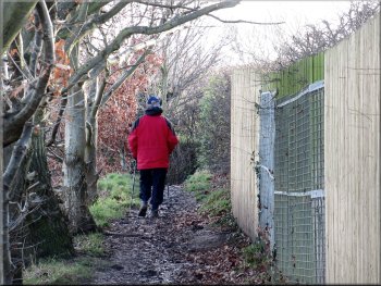
The footpath past the office buildings
|
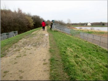
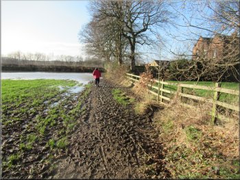
Path on top of the embankment at the gravel pit lakes
|
Path between the two gravel pit lakes
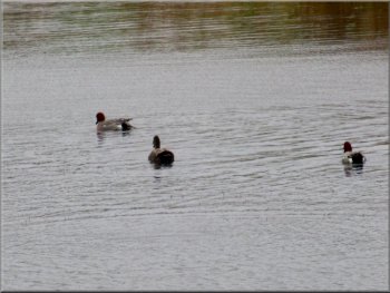
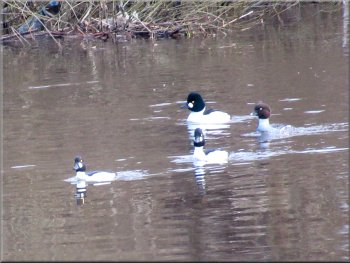
There were a few pochard ducks on one of the lakes
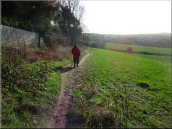
Path between the River Calder and the gravel pit lake
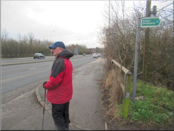
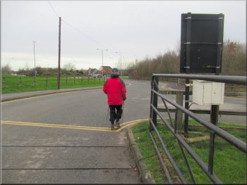
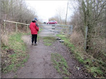
Waiting to cross the A636
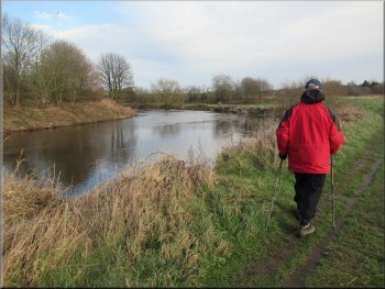
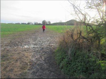
The river was about 30m away from the path and we only had brief glimpses of it. We followed the path alongside the River Calder to the A636 next to the road bridge over the River Calder. We crossed the A636 and continued along the public footpath opposite still following the River Calder but now on the river bank. The path near the main road was spoilt by litter and lot of empty beer cans. |
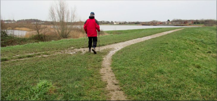
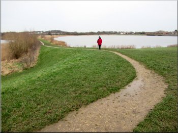
At the embankment we turned right and walked along the top of the embankment for about 20m, then we followed the path to our left between the two lakes. There were just a few wildfowl on the lakes and I got a photo of a few pochard ducks. We continued along the footpath to its junction with a public footpath running beside the River Calder. At this junction we turned right and followed the path by the river Calder heading downstream.

Bird watching hide on the lakeside
Path between the River Calder and the gravel pit lake
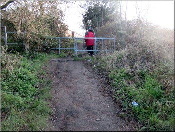
Gate from the footpath onto the busy A636
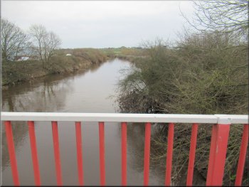
The River Calder seen from the A636 road bridge
|
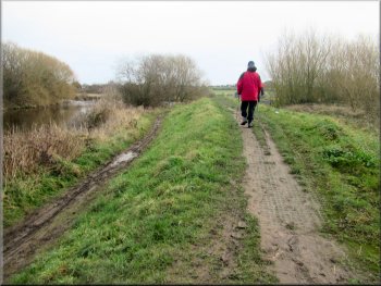
Continuing along the footpath next to the River Calder from the A636
| >
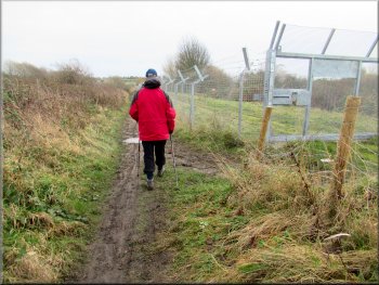
Path between the River Calder left & steel fence right
Goldeneye ducks on the River Calder
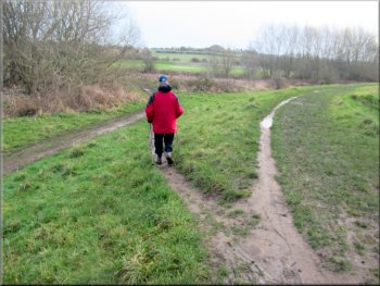
Following the path next to the river
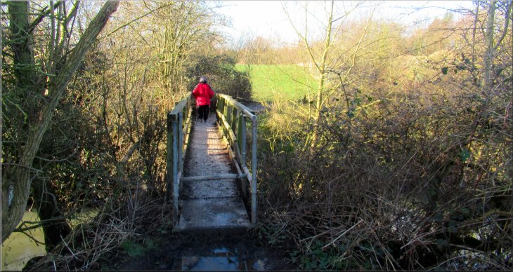
We followed this bend in the river for about 100m. Then there was a wide gravel path on our right and we followed this path bending to our right to a bridge over a water course called Pugney's Drain. The bridge was open to walkers and cyclists but two large boulders had been placed there blocking the bridge to any vehicles. |
There were a few gulls and wildfowl on the river and I took a photo of a small group of goldeneye ducks. To the right of the path there was another flooded gravel pit but this one was enclosed in some tall ugly industrial galvanised steel fencing. Just beyond this fenced lake, the river on our left began a long meander to our left.
Path next to the River Calder
Following the path left around a bend in the river
Turning away from the River Calder along a wide gravel path
|
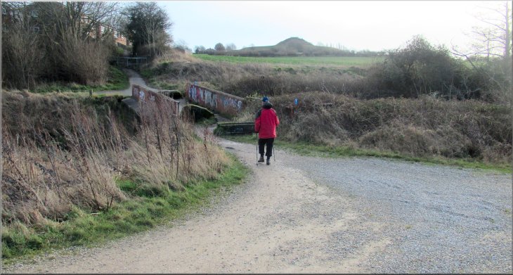
Bridge over Pugney's Drain heading up the hillside towards Sandal Castle
|
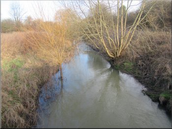
Pugney's Drain seen from the bridge
Heading up the hillside towards Sandal Castle
Continuing up the hillside to a muddy track across a field
Path out to Manygates Lane from the muddy field track
At the top edge of the field the path passed between the houses and the Sandal Castle site and came out onto a road called Manygates Lane. At this road we turned right and walked along the road for a few metres to the entrance to the Sandal Castle site on our right. |
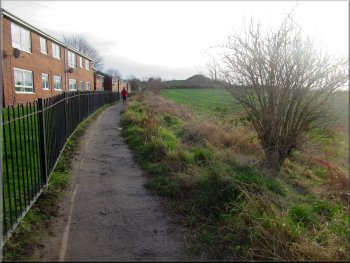
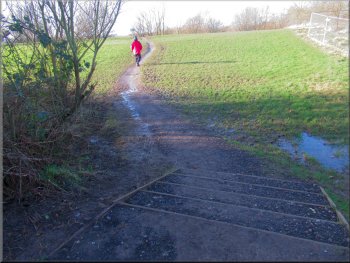
Across the bridge the path continued up the hillside next to a housing development. At the corner of the housing the path continued as a wide muddy track across a field with a crop starting to grow in it.
Path heading up the hillside from the bridge
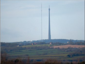
Looking back across the R. Calder valley to Emily Moor TV mast
Muddy track across the field towards Sandal Castle
Turning right from the path onto Manygates Lane
|
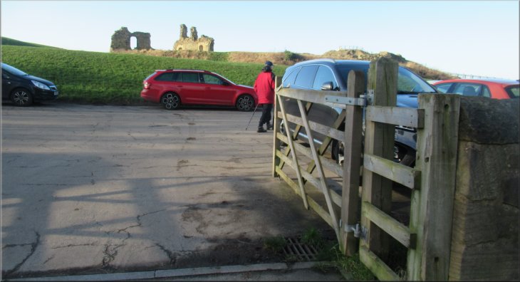
Turning right off the road into the Sandal Castle car park
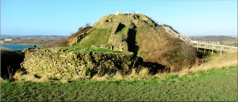
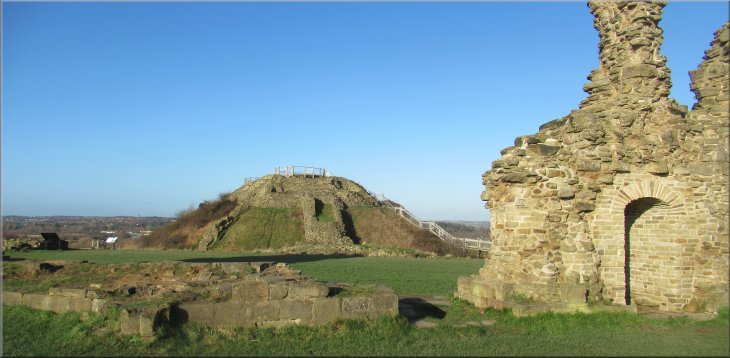
Our visit to Sandal Castle
For more information about Sandal Castle see Experience Wakefield and CastlesFortsBattles |
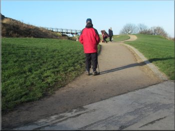
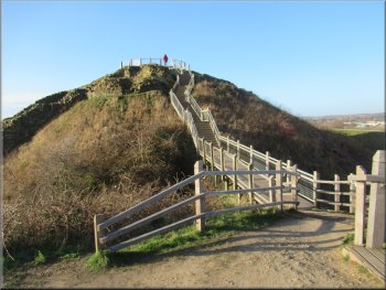
Wide gravel path to the motte
After a good look around the castle remains we followed the path from the car park to the Cafe. |
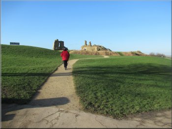
From the car park at the entrance to the site we followed the path and the steps and footbridges to the top of the motte, the site of the Shell Keep, with a fine view all around.
Bridge & steps to the motte
|
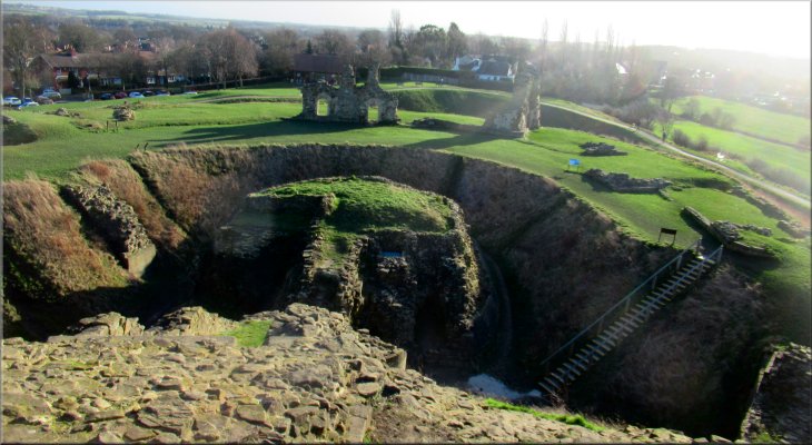
View across the castle site from the motte
Looking across the castle site to the motte where the shell keep once stood
|
Cafe at the SE side of the castle site
From the gravel path above the southeast corner of the site we turned left along a narrow stony path to a stile in the bottom of the southeast corner. |
We had a good coffee and a bacon roll for our lunch at the cafe before continuing our walk. From the cafe we followed the gravel path to the southeast corner of the site.
Leaving the cafe for the stile at the SE corner of the site
|
Stony path down to the stile at the SE corner of the castle site
|
Leaving the castle site for a field path
Path down the field edge towards Castle Farm
Flooded field next to Milnthorpe Lane
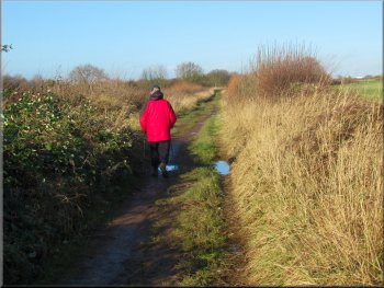
We followed the muddy path dropping down the hillside to a track called Milnthorpe Lane. At this lane we turned right and walked along the lane past Castle Farm. |
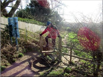
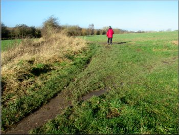
We crossed the stile and followed a muddy path along the top edge of the field. At the far side of this field we turned right to continue along another path along this edge of the field.
Path along the top edge of the field as we left the castle site
Path left & then right through the hedge
Gate from the field path onto Milnthorpe Lane
|
Following Milnthorpe Lane past Castle Farm
|
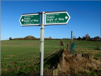
The paths to & from the castle are all public rights of way
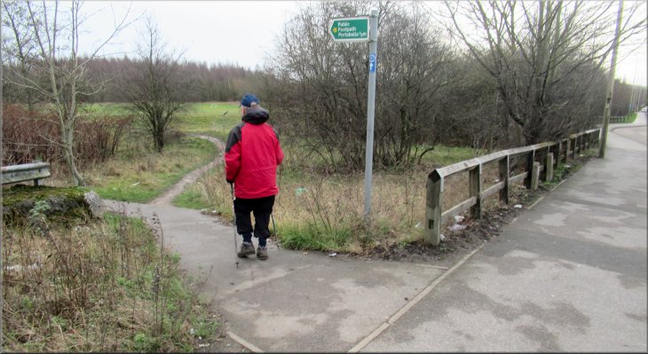
Taking the left fork in the paths towards Pugney's Drain
Here we joined a cycle track & footpath alongside Pugney's Drain. We turned right onto this track then at once we turned left off the cycle track to cross a footbridge over Pugney's Drain. |
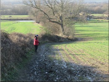
From Castle Farm we walked about 300m along the lane past a right hand bend in the track to a fork where Milnthorpe Lane continues along the right hand fork and we followed the left hand fork for about 100m.
Continuing along the lane from Castle Farm
We turned right onto the path next to Pugney's Drain
and then turned left over the bridge across the drain
|
Crossing the bridge over Pugney's Drain back into the Pugneys Country Park
|
Path from the bridge to the gravel path around the lakeside
Looking across the lake to the visitor centre
Looking across the lake to the visitor centre
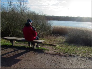
On the other side of the path from the bench there was a birdwatching hide looking out over the larger lake. From this hide I took a photo of four cormorants sitting on a timber frame out on the lake. |
From the footbridge we followed a path up a bank to a wide gravel path on top of the bank next to one of the large gravel pit lakes. We followed this gravel path to our left round the lake. We came to a bench seat with a view across a smaller lake on our left.
Following the lakeside path
Following the path around the lakeside
Bench seat opposite the birdwatching hide
|
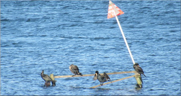
Cormorants seen from the birdwatching hide on the lakeside
|
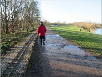
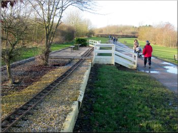
Pugneys Light Railway next to the path
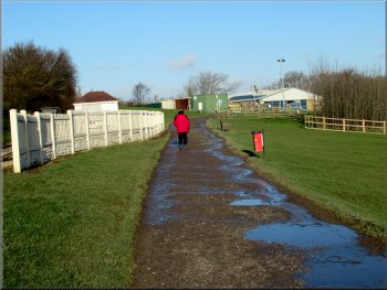
White fence at the Pugneys Light Railway terminus
The whole route had been 7km and including our cafe stop it had taken us over three hours to walk. It had been a fine sunny day and despite the mud and the litter in places it was an interesting and enjoyable walk. |
A little further on we came to a miniature railway track on our left and this continued all the way back to the visitor centre. Near the visitor centre there were groups of Canada geese on the grass next to the lake. We continued past the visitor centre to the car park and the end of our walk.
Station on Pugneys Light Railway next to the path
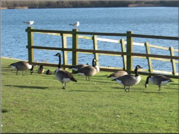
Canada geese on the lakeside at the visitor centre
|
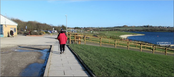
Returning to the visitor centre and car park at the end of our walk
|