|
2001 walks |
2002
walks |
2003 walks |
2004
walks |
|
2005 walks |
2006
walks |
2007 walks |
2008
walks |
|
2009 walks |
2010
walks |
2011 walks |
2012 walks |
|
2013 walks |
2014 walks |
2015 walks |
2016 walks |
|
2017 walks |
2018 walks |
2019 walks |
2020 walks |
|
2021 walks |
1993-2000 library |
Find a Route Index |
|
A few Routes to print out |
Request a Route... |
Route No. 794 - Thursday 14 November 2019
Allerthorpe Common, woodland circuit - 5km
Pocklington
East Yorkshire . . .
Route map from Ordnance Survey
Open Space service.
Map: OS Explorer 294 Market Weighton & Yorkshire Wolds Central
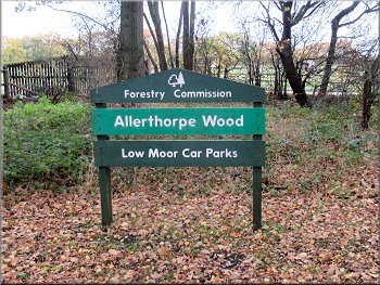
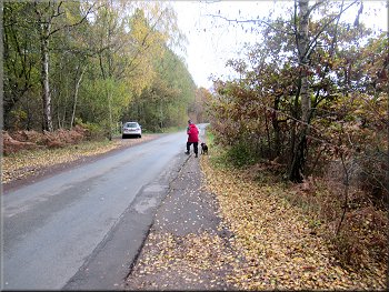
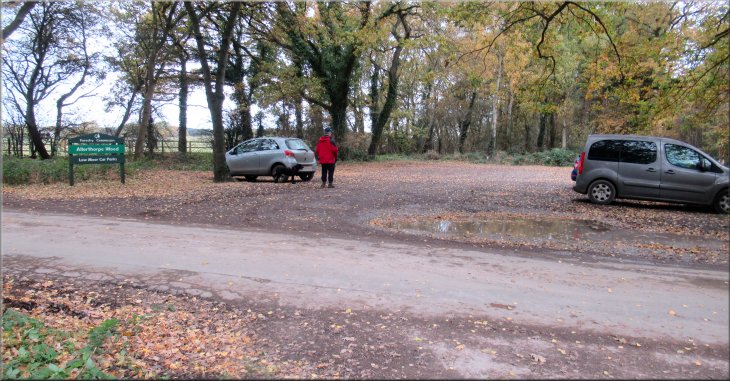
Allerthorpe Wood car park where we started our walk at map ref. SE 752 473
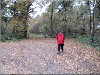
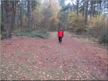
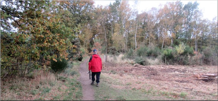
This morning my friend, Jim, and I drove to the open access woodland at Allerthorpe Common. We drove from York eastwards along the A1079 Hull Road and about 850m before we reached the B1246 left turn to Barmby Moor we turned right off the A1079 on to Sutton Lane. After about 1.6km along Sutton Lane we turned left along a narrow minor road and after another 600m we turned right off this road into the small gravel Forestry Commission car park at map ref. SE 752 473. |

|
|
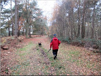
Broad track heading northwest from the car park
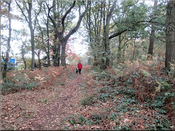
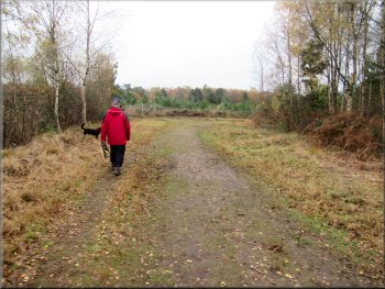
After almost 400m our track joined the access track leading into Allerthorpe Farm Stud on our left, at this track we followed it to our right for about 250m to a road, named as The Street on my OS Explorer map. |
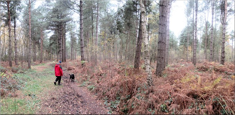
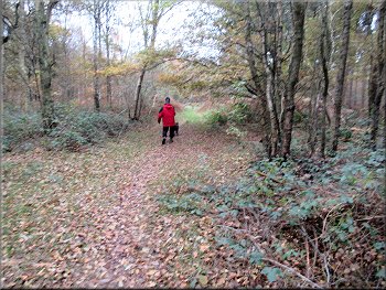
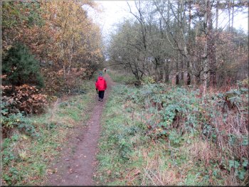
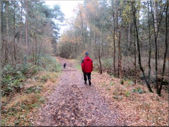
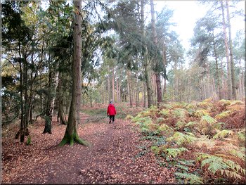
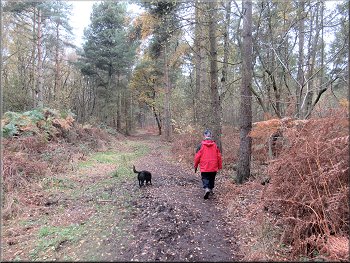
The weather was cloudy but fine and today Jim was looking after his daughter's dog, a friendly short haired black animal very lively and keen to explore the woods. From the car park we set off along a bridleway track heading roughly north west along the edge of the woodland.
Making for the gate from the car park
Track along the edge of the wood passing Allerthorpe Farm
|
Emerging from the woodland track to the road called 'The Street'
|
We turned right and walked along the edge of the road
Path across the neck of land at the road junction
Turning right onto the road from the woodland track
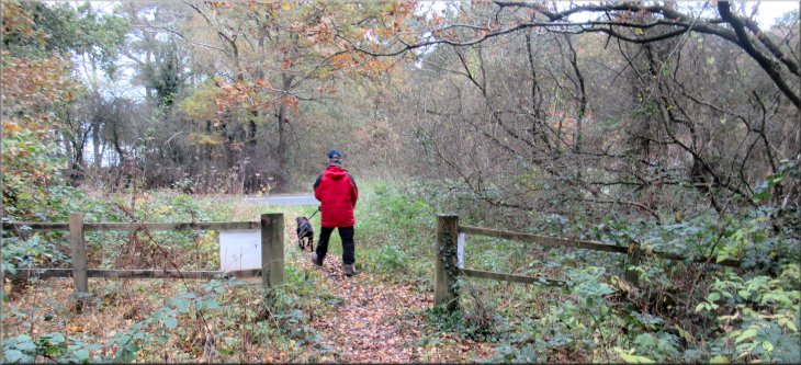
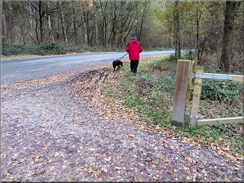
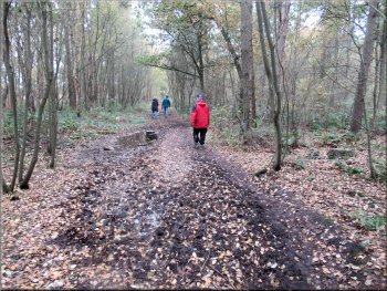
Apart from that short diversion we stayed on the path in the wood. After almost 400m we followed the path to our right to come out onto the road we had driven down to the car park. At the road we turned right and walked along the road for about 100m then we turned left off the road through a kissing gate to a track in the woods. |
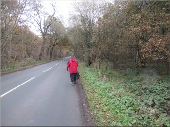
At the road we turned right and walked along the right hand edge of the road. We noticed a path in the woods about 5m away on our right so we dropped down the low bank into the wood and followed the path with the road on our left. We had to return to the road briefly to go around a fallen tree.
Path next to the road along the edge of the wood
Cleared land where we came out of the wood
Crossing the road to reenter the woodland
|
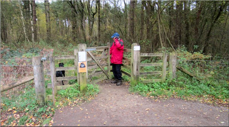
Kissing gate from the road onto a woodland track
|
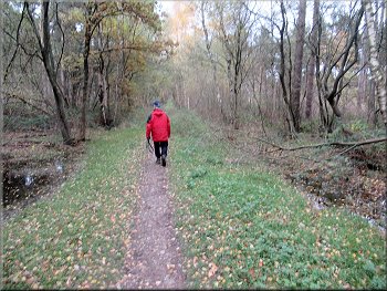
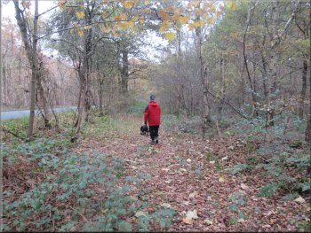
Woodland track heading away from the road
Following the track from the road
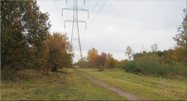
Heading towards the power lines that cross the woodland
There were saplings and young trees growing over much of the woodland floor. There is a broad corridor through the woodland for the power lines and we headed straight across this corridor to continue along our track on the other side.
|
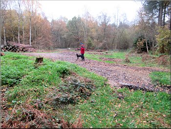
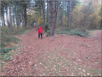
From the gate there was a clear wide track that we followed for about 600m to the point where the track passed under power lines on pylons. This is lovely mature woodland with tall established trees, mostly conifers but some broadleaf too.
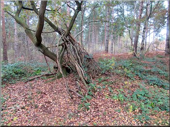
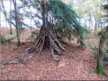
Remains of a 'den' in the woods
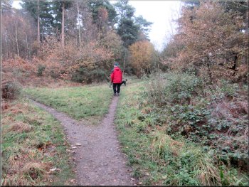
Junction in the track at map ref. SE 756 479
Heading towards the power lines that cross the woodland
|
Cleared corridor across the woodland for the power lines
|
Rejoining our track on the far side of the power lines
Turning left at a T-junction in the tracks
Following the track towards the southern edge of the woods
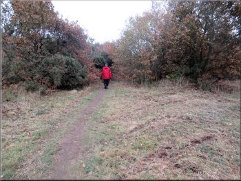
From this bend we continued along the track for another 400m. Here another track merged with our's from our right and ahead there was a gate across the track. The track ahead through the gate goes out into the village of Allerthorpe about 1.5km away. We did not go through the gate but instead we turned sharp right to follow a bridleway along the track that had merged with our's from our right. |
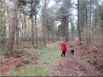
From the power lines we continued along the woodland track for about 500m and here the track was bending to our right until we had turned a full right angle. After this bend we came to a 'T'-junction in the track where we turned left. After just 50m we came to another right angle bend in the track where we followed the track round the bend to our right.
Track going eastwards near the northern edge of the woodland
Approaching a sharp right hand bend in the track
Following the track towards the southern edge of the woods
|
Jim went to the gate to call the dog that was exploring the track to Allerthorpe village
|
Coming down the track towards the gate . . .
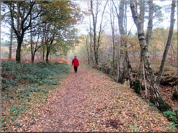
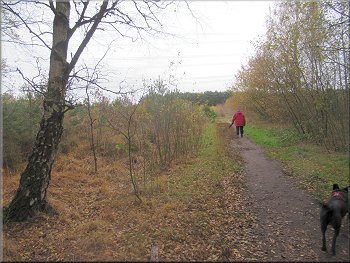
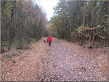
Track along the southern edge of the woodland
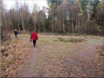
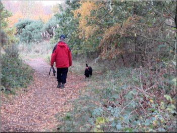
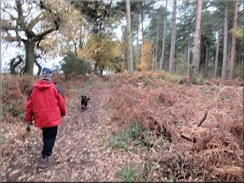
We walked along this track through lovely mature woodland and crossed back under the power lines we had crossed earlier. From the power lines the open marshland to our right was all fenced off forming a wetland nature reserve. |
This track followed the southern edge of the woodland with farmland beyond. The dog was tiring now having run at least two or three times as far as we had walked and Jim was excused any further stick throwing duties.
. . . We turned right onto the track away from the gate
Track along the southern edge of the woodland
|
Open land on our right near the wetland nature reserve
|
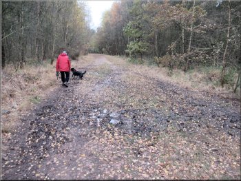
Track along the southern edge of the woodland
Another den in the woods
Track near the southern edge of the wood going to the car park
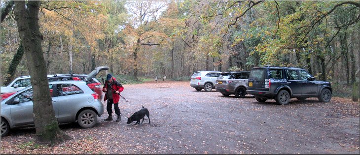
The whole route had been just under 5km and it had taken us about two hours to walk with Jim providing entertainment for his daughter's dog along the way. It is a beautiful place and a lovely walk. |
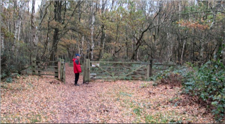
From the power lines we continued along the track for about 1.2km to a gate across the track and through the gate we came to the road next to the car park. We crossed the road into the car park and the end of our walk.
Track along the southern edge of the woodland
Track near the southern edge of the wood going to the car park
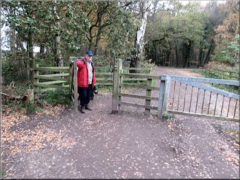
Gate from the woodland track onto the road by the car park
|
For more information about Allerthorpe Common see the following web sites:-
Wikipedia, Allerthorpe Common
Visit Hull & East Yorkshire Tourism site, Allerthorpe Common
Allerthorpe Wood from Forestry England
Yorkshire Wildlife Trust. - Allerthorpe Common
Back at the car park at the end of our walk
|