|
2001 walks |
2002
walks |
2003 walks |
2004
walks |
|
2005 walks |
2006
walks |
2007 walks |
2008
walks |
|
2009 walks |
2010
walks |
2011 walks |
2012 walks |
|
2013 walks |
2014 walks |
2015 walks |
2016 walks |
|
2017 walks |
2018 walks |
2019 walks |
2020 walks |
|
2021 walks |
1993-2000 library |
Find a Route Index |
|
A few Routes to print out |
Request a Route... |
Route No. 788 - Tuesday 24 September 2019
Gradbach, River Dane, Lud‘s Church,
Black Brook circuit - 5km
Peak District . . .
Route map from Ordnance Survey
Open Space service.
Map: OS Explorer OL24 The Peak District White Peak area
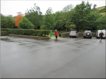
Leafy corner of the car park by the River Dane at the start of our walk
|

|
|
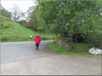
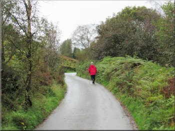
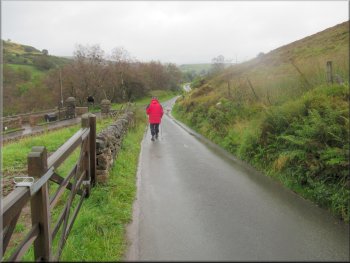
Turning right from the car park on to the road
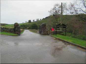
Start of the access road to Gradbach Mill
Turning on to the footpath in front of Gradbach Mill
Our car park was at map ref. SJ 998 662 not far from Gradbach Mill. From the car park exit we turned right and set off along the road towards Gradbach Mill. After about 200m along the road we came to the access road on our right to Gradbach Mill. We turned right here and followed the public footpath along the access road for about 300m to Gradbach Mill next to the River Dane.
|
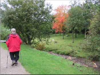
My friend, Jim, and I will be staying at a pub in Buxton in Derbyshire for two nights to do a couple of walks on the borders of Derbyshire, Staffordshire and Cheshire. This morning we drove from home to Gradbach off the A53, about halfway between Buxton in Derbyshire and Leek in Staffordshire. We parked in a small car park next to the River Dane.
Walking along the road towards Gradbach Mill
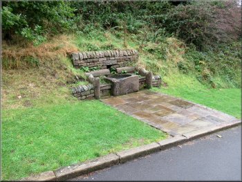
Animal drinking trough by the access road
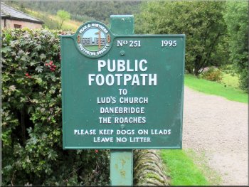
Informative sign at Gradbach Mill
|
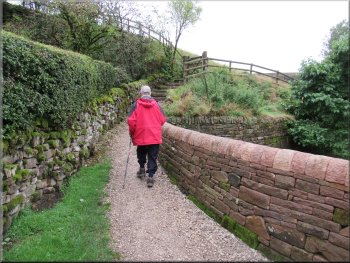
Looking back along the footpath and the River Dane to Gradbach Mill
|
Path by the River Dane from Gradbach Mill
The path continued parallel to the river
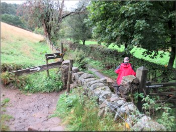
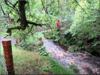
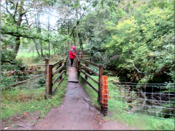
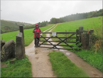
Stile over the wall to the footbridge
Between us and the river there was a flat field along the river bank that is part of a Scout Association camp site. The path began to bend to our left and on the bend we turned right through a step stile in the stone wall and followed the path down a slope to a footbridge across Black Brook about 40m before it joins the River Dane. |
In front of the Mill we turned left and continued along the public footpath with the River Dane on our right. The path turned left away from the river to climb some steps and then turned right to continue following the river but a little way above the river and about 30m away to our right.
Briefly the path turned away from the river to climb some steps
Flat camping field by the river was to the right of the track
Path down from the stile to the footbridge
|
Gate on to the footbridge over Black Brook about 40m before it joins the River Dane
|
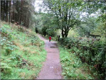
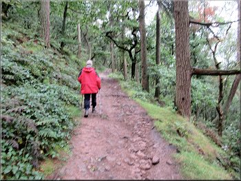
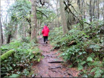
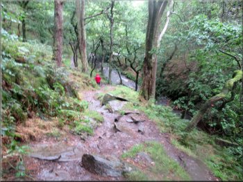
Path up the hillside from the footbridge
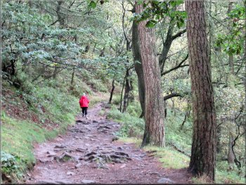
Path climbing up through Forest Wood
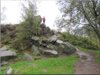
Rocky outcrop just before a sharp right turn
Path around the hillside from the finger post
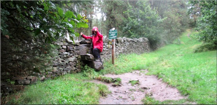
Just past these rocks we turned sharp left doubling back along a higher path that was following the contour round the hillside. We followed this path for about 200m. At this point there was a rough timber fence on the right hand side of the path and at the end of the fence there was a narrow opening in the rocks on our right. This is the entrance to the gritstone gorge called Lud's Church. |
From the footbridge we took the wide path straight ahead up into the woodland called 'Forest Wood'. We continued along this path climbing steadily up the hillside for about 500m. Here there was a craggy rock formation on our right that Jim climbed to get a better view.
Path climbing up through Forest Wood
Path climbing up through Forest Wood
Sharp right turn at the finger post
Rough timber fence at the entrance to Lud‘s Church
|

The narrow entrance to the Lud‘s Church gorge
|
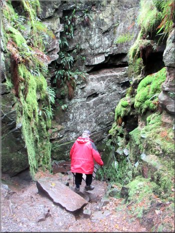
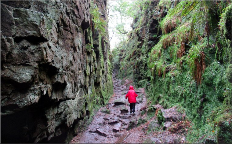
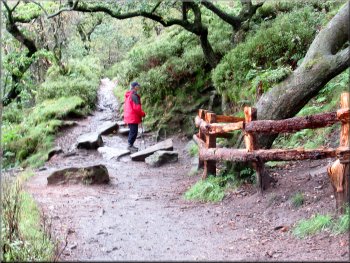
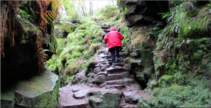
Descending the steep rough steps into the gorge
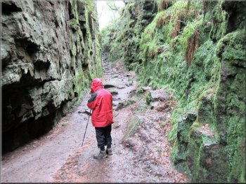
Making our way along the bottom of the Lud‘s Church gorge
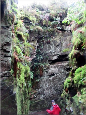
The sides of the gorge are draped with moss and ferns that drip with water keeping the whole place cool. We walked along the rocky path in the base of the gorge for about 100m and then up some stone steps and out to the birch woods and the end of the gorge. |
Apparently the Lud's Church gorge provided a secret meeting place for the 'Lollards' a reformist group who suffered religious persecution in the 1400's. The rocky path drops down into the gorge which is about 20m deep having been formed by a huge landslip in the distant past.
Descending the steep rough steps into the gorge
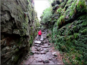
Starting to climb out of the Lud‘s Church gorge
|
Rough stone steps out of the Lud‘s Church gorge to the birch woods above
|
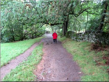
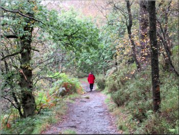
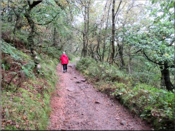
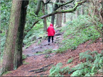
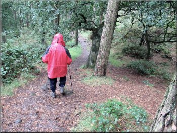
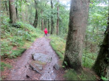
Path through the birch woods from the gorge
The public footpath near the top edge of the woods
The public footpath near the top edge of the woods
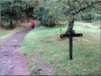
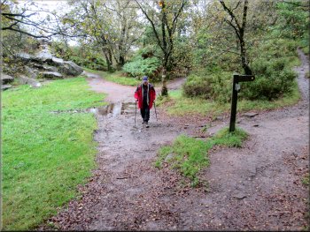
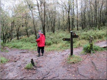
After about 750m at the point where our path met the public footpath coming from Roach End there was a finger post where we turned left, doubling back to follow the path heading down through the forest towards Black Brook. |
We followed a permissive path through the woods for about 300m to rejoin the public footpath that we had left to walk through the Lud's Church gorge. We continued along the public footpath near the top edge of the forest.

Path through the birch woods from the gorge
The public footpath near the top edge of the woods
Path down to the junction with the path from Roach End
|
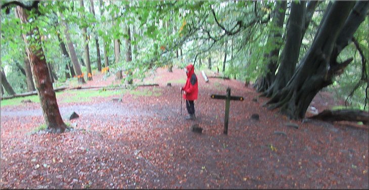
Turning left at the junction with the path from Roach End
|
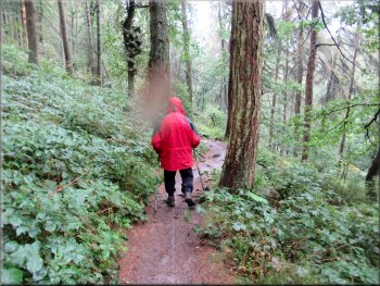
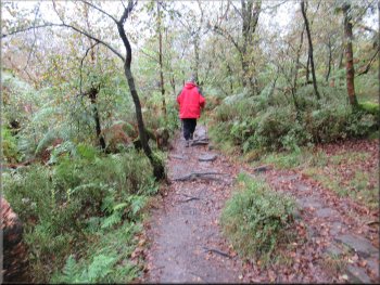
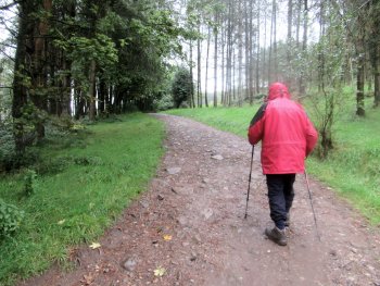
Path down through the woods towards Black Brook
Steeper path down to the bank of Black Brook
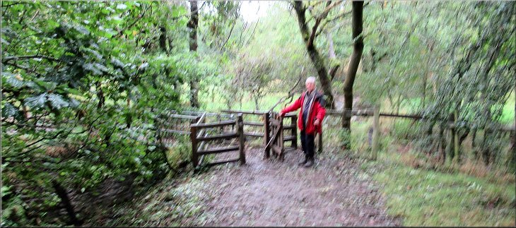
Crossing the footbridge over Black Brook
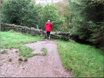
We crossed the footbridge and walked up the slope back to the step stile over the stone wall that we had used on our way out. |
After a gentle descent for about 800m there was a steeper slope down to the Black Brook and the path continued for another 200m next to the brook back to the footbridge across Black Brook.
Path down through the woods towards Black Brook
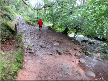
Path along the bank of Black Brook
Crossing the footbridge over Black Brook
|
Crossing back over the stone step stile above the footbridge
|
Track from the stile up to the scout camp HQ farmstead
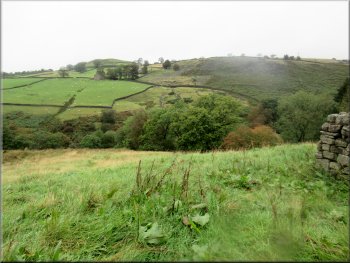
Looking to our left across the River Dane valley
I came here a number of times in the 1950's from being 12 to 19 when the camp site was called the Peter Watson Memorial Camp Site. Peter Watson was a member of the 1st Buxton Scouts, the same troop as me but before my time. |
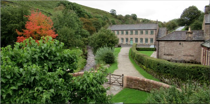
Over the stile we turned right and followed the public footpath along the farm access track for almost 400m to the farm house and out buildings that are now the head quarters for the scout camp site.
Track from the stile up to the scout camp HQ farmstead
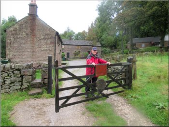
Gate into the farmstead that serves as the scout camp HQ
|
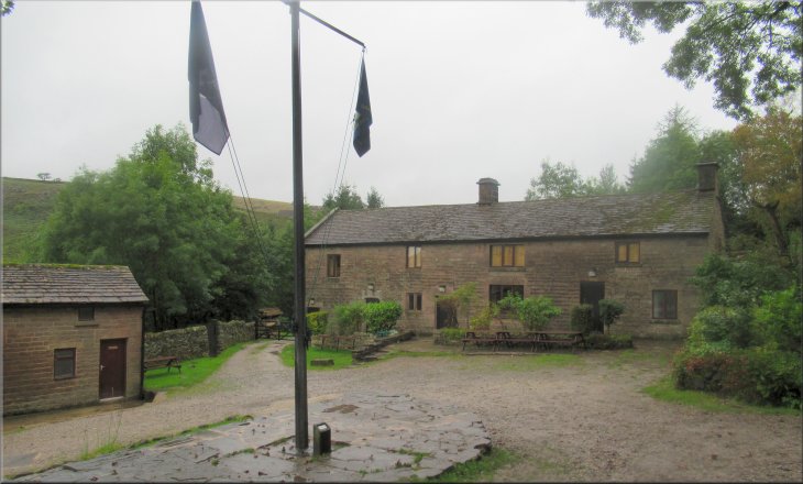
The farmstead that serves as the scout camp HQ
|
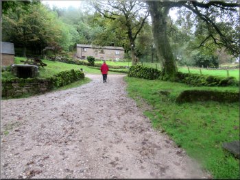
Track up through the farmyard
Following the road back past the entrance to Gradbach Mill
The whole route had been 5km and it had taken us almost three hours to walk. There had been persistent light rain for the whole walk and at the end we were wet through. We drove back Buxton to check into our hotel where we had a good hot shower and an evening meal ready for another interesting walk to morrow. |
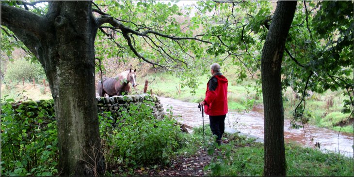
We continued along the public footpath through the farm and turned right to follow to public road above the farm. We walked along the road for about 500m past the access rod to Gradbach Mill and back to the car park at the end of our walk.
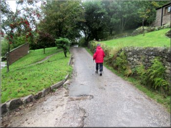
We turned left from the farmyard on to a road above the farm
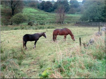
Horses in the field next to the car park
|
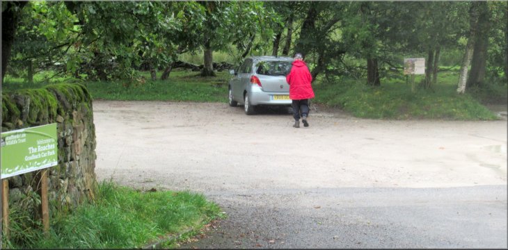
Returning to the car park at the end of our walk
|