|
2001 walks |
2002
walks |
2003 walks |
2004
walks |
|
2005 walks |
2006
walks |
2007 walks |
2008
walks |
|
2009 walks |
2010
walks |
2011 walks |
2012 walks |
|
2013 walks |
2014 walks |
2015 walks |
2016 walks |
|
2017 walks |
2018 walks |
2019 walks |
2020 walks |
|
2021 walks |
1993-2000 library |
Find a Route Index |
|
A few Routes to print out |
Request a Route... |
Route No. 777 - Thursday 23 May 2019
Morebattle, St. Cuthbert's Way, Grubbit Law,
B6401, Kale Water circuit - 8km
Scottish Borders . . .
Route map from Ordnance Survey
Open Space service.
Map: OS Explorer OL16 The Cheviot Hills
My wife & I go walking once a month with a group of friends and once a year we have a short walking holiday together. This year we are staying in a holiday cottage by the River Teviot near Kelso in the Scottish Borders. The Scottish Borders Council publish a booklet of walks around each of the towns in the borders area and our walks this week are taken from the Kelso walks booklet. (Download the booklet from the council web site)
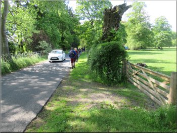
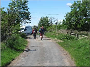
Turning right off the B6401 on to the Pilin Stanes as we left Morebattle village
|

|
|
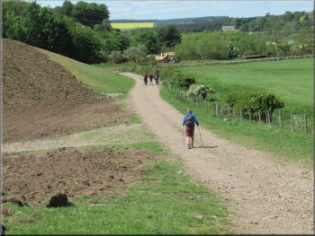
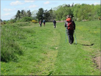
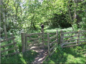
Route of St. Cuthbert's Way along Pikin Stanes
Route of St. Cuthbert's Way SE of Morebattle
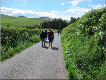
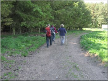
Continuing along St. Cuthbert's Way
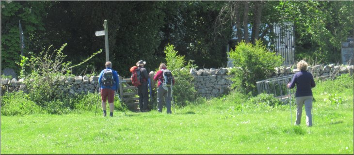
After about 300m at the top of a gentle climb from the road junction, the road name on the map changes to Sibbald's Path. After walking for about 1km from the village we came to a 'T'-junction where we turned right and continued along the road still following the route of St. Cuthbert's Way. We walked along this road for about 600m to a footbridge on the left hand side of the road across Kale Water.
|
Our walk today starts from the village of Morebattle about 10km south east of Kelso. We parked in a cul-de-sac off Main Street opposite Mainsfield Avenue at map ref. NT 771 250. We set off heading eastwards along Main Street following the route of the St. Cuthbert's Way out of the village. We walked down Main Street, the B6401, to the edge of the village and then turned right off the B6401 on to a minor road called The Pikin Stanes on the OS street view map.
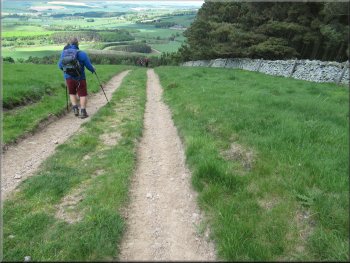
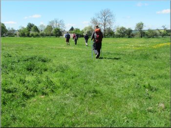
Route of St. Cuthbert's Way SE of Morebattle
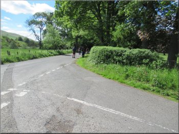
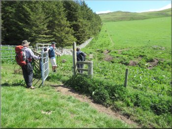
Right turn at the junction continuing on St. Cuthbert's Way
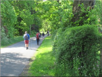
Continuing on St. Cuthbert's Way to the footbridge on our left
|
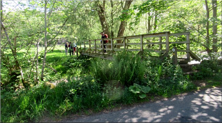
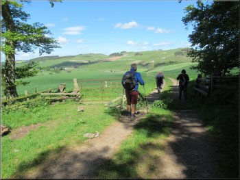
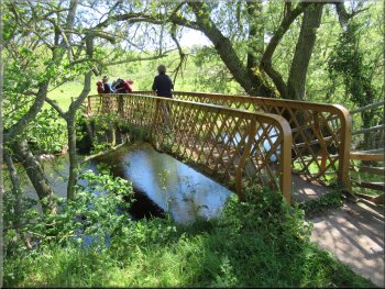
The route of St. Cuthbert's Way over the footbridge across Kale Water
|
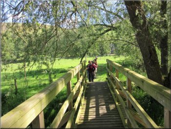
Crossing Kale Water on the footbridge
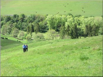
Very steep grassy hillside near the start of the climb
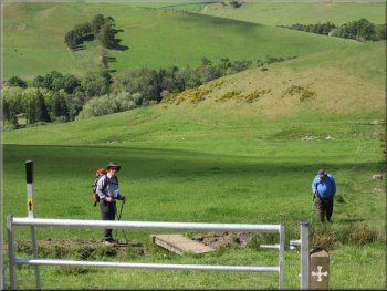
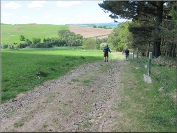
Looking back down hill along the valley of Kale Water
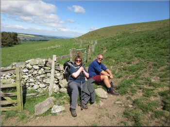
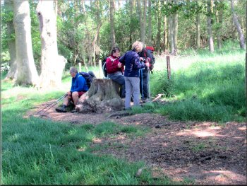
A short breather at the top of the field
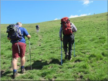
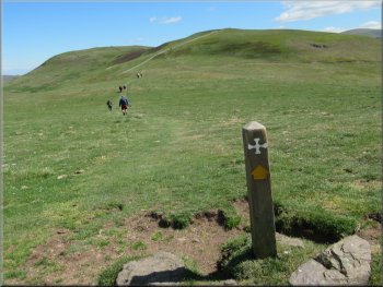
Steep climb to the way mark post on the skyline to the right
This was a real challenge for my old knees and for my friend Geoff who has similar problems. We plodded on at own pace along the well signed route of St. Cuthbert's Way until at last we reached the top of Grubbit Law. Here the rest of the group were waiting for us all to reassemble next to one of the waymark posts for St. Cuthbert's Way. |
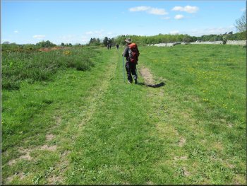
We crossed the footbridge and followed a track across the field to the start of the unrelenting steep climb from here to the top of Grubbit Law about 1.5km away and about 230m higher, average gradient about 1 in 6 or about 17% as we are supposed to say now.
Beginning the climb up to Grubbit Law
Continuing to follow St. Cuthbert's Way up the hillside
The steep climb continued along the edge of the field
Puffing up to the top of the field
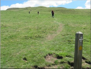
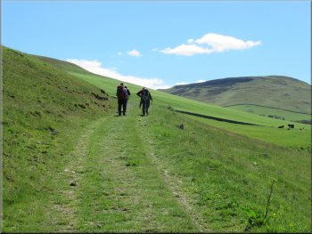
St. Cuthbert's Way heading for Grubbit Law
|
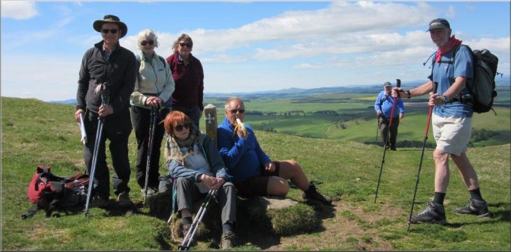
Waiting on Grubbit Law for the straggler to catch up
|
We walked along the ridge from Grubbit Law for about 200m . . .
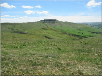
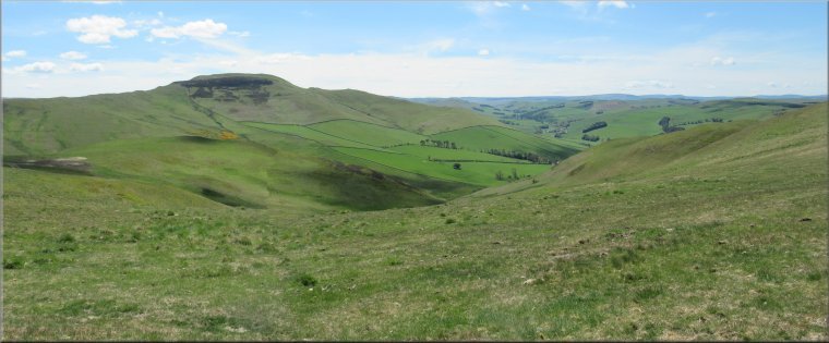
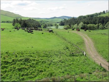
View S from the ridge to the fortified hill top of Hownam Law
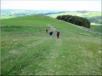
After our lunch break we walked just a little further along the ridge to an access track used by farm machinery to judge by the two deep ruts and the wide tyre tracks. We did not climb Wideopen Hill, instead at the farm track we turned left leaving St. Cuthbert's Way and walked along the track towards the dry stone wall ahead and continued along the track heading down the hillside parallel to the wall. |
From the top of Grubbit Law we continued along the ridge for about 200m and stopped out of the wind for our lunch break before the steep climb to the top of Wideopen Hill began. We sat here in the warm sunshine with a lovely view across a little valley to the fortified hill top of Hownam Law about 2km south of our position.
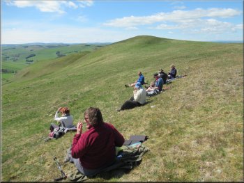
. . . to our lunch stop out of the wind just below the ridge

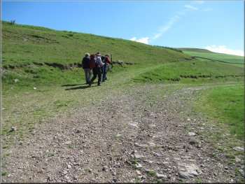
Starting down along the farm track from the ridge
|

Following the farm track down the hillside parallel to the dry stone wall
|
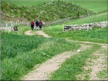
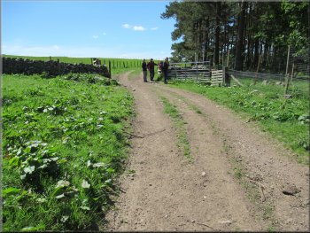
Following the farm track into the next field
Farm track leading to a gap in the forestry
Still heading down hill along the farm track
Short stop for a drink
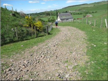
Farm track down towards the B6401
Farm track down towards the B6401
We followed the farm track through the gap in the forestry and continued along the edge of the next field with more forestry on our right. After about 200m we came to another farm track where we turned right following this track through a strip of woodland where we sat on a large tree stump for a drink. Then we continued along the farm track down the hillside to Grubbit farm and Hemmie Knowe. We continued along this track as it bent to our right and led us out to the road, the B6401. |
We came to a corner in the wall where the wall bent to our right away from the track. We continued along the track down the steep hillside to a gateway into a field. Through the gate we continued along the farm track bearing to our right across to the edge of the field with some woodland, called Grubbit Plantation, on the far side of the wall. The track then swung round to our left and we followed it to the south west corner of the field there was a gap in the forestry on our left.
Continuing on the farm track down the field edge
Still heading down hill along the farm track
Our right turn through the strip of trees
Farm track down towards the B6401
Farm track down towards the B6401
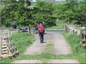
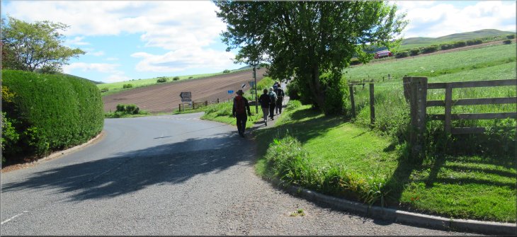
About to cross the B6401
|
Crossing the B6401 to the minor road opposite
|
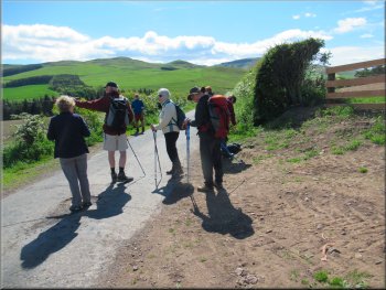
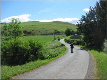
Nearing the right hand bend in the road where we turned left
We followed the track across the field with Kale Water on our left
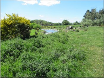
Kale Water to the left of the path across the field
Here the path passed between Kale Water on our left and a patch of woodland on our right. From this point we headed away from Kale Water towards the far right hand corner of the field. As we approached the corner of the field we could see a pedestrian gate in the wall leading onto the road, the B6436. |
We crossed the road and took the minor road opposite. After about 70m from the road junction the minor road bent to our right and on the left of the bend there was a gateway on to a track along the field edge next to Kale Water, which we followed for a little over 400m.
We turned left off the road at the bend on to this track
We followed the track across the field with Kale Water on our left
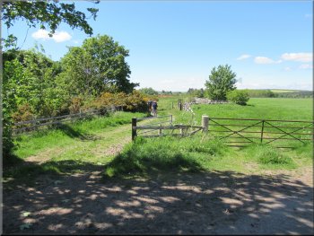
Crossing the field to the far right hand corner away from Kale Water
|
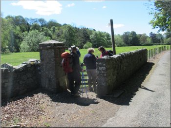
Gate from the field path to the B6436
|
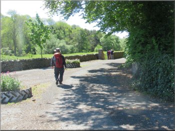
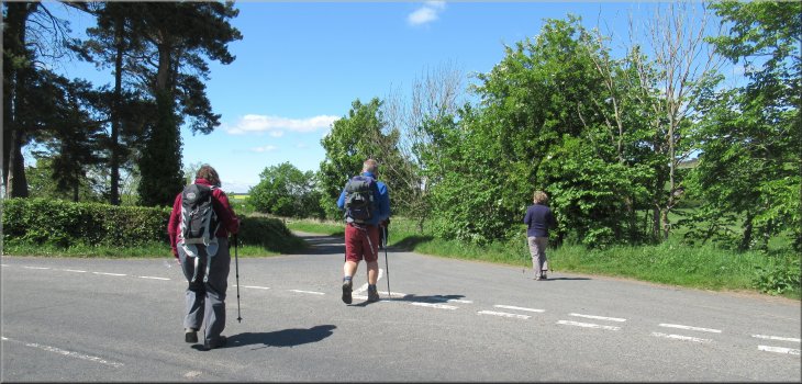
Access road opposite the gate from the field path

We crossed the field to a gate in the far left hand corner
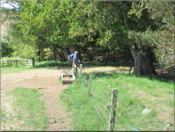
Crossing Kale Water on the footbridge
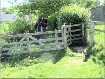
Gate to the path along the low side of the churchyard
Gate from the path to the road in Morebattle
We walked along this path with the church and graveyard on our right, to the road, B6401, in Morebattle. At the road we turned right and walked up the slope to the road junction on our right and the end of our walk where we had parked on the road side in a cul-de-sac. The weather had been perfect once again with a bright sunny day and a cool breeze. The whole route had been 8km and it had taken us about three and a half hours to walk including our stops. |
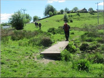
We crossed the B6436 and almost opposite the gate from the field we entered a wide access road and then on the left hand side of this road we passed through another pedestrian gate into the fields. We crossed the field to the bank of Kale Water at the far left hand corner of the field. We passed through a kissing gate from the field into some pretty woodland next to Kale Water. We walked along the woodland path for about 200m to a footbridge across Kale Water. We crossed the bridge and headed diagonally across the field up to a path on the low side of the church.
We turned left off the access road to this field path
Gate next to Kale Water in the far left hand corner of the field
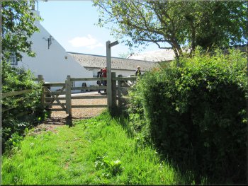
Heading across the field to the low edge of the churchyard
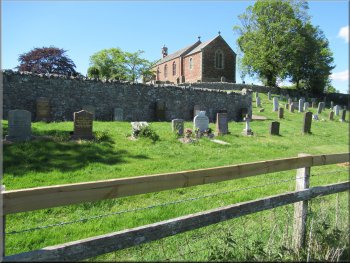
Churchyard & church seen from the path
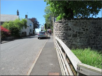
Following the road back to our parking spot
|
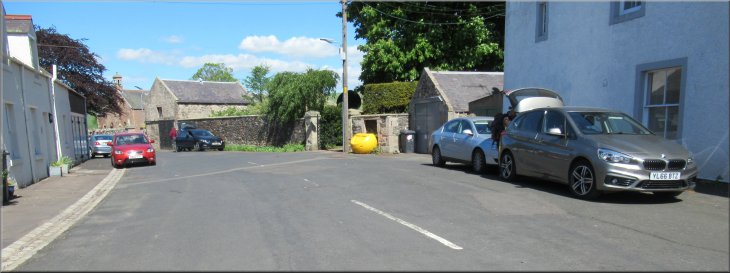
Our parking spot in a cul-de-sac off the road through Morebattle and the end of our walk
|