|
2001 walks |
2002
walks |
2003 walks |
2004
walks |
|
2005 walks |
2006
walks |
2007 walks |
2008
walks |
|
2009 walks |
2010
walks |
2011 walks |
2012 walks |
|
2013 walks |
2014 walks |
2015 walks |
2016 walks |
|
2017 walks |
2018 walks |
2019 walks |
2020 walks |
|
2021 walks |
1993-2000 library |
Find a Route Index |
|
A few Routes to print out |
Request a Route... |
Route No. 775 - Tuesday 21 May 2019
Kelso Abbey, Kelso Bridge, disused railway,
Roxburgh Viaduct, River Teviot, Borders Abbeys Way
12km circuit - Scottish Borders . . .
Route map from Ordnance Survey
Open Space service.
Map: OS Explorer 339 Kelso, Coldstream & Lower Tweed Valley
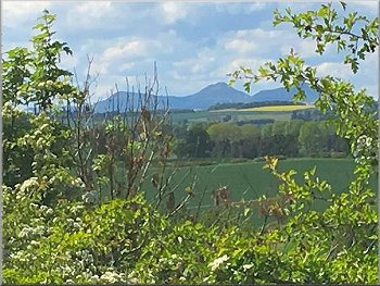
My wife & I go walking once a month with a group of friends and once a year we have a short walking holiday together. This year we are staying in a holiday cottage by the River Teviot near Kelso in the Scottish Borders. The Scottish Borders Council publish a booklet of walks around each of the towns in the borders area and our walks this week are taken from the Kelso walks booklet. (Download the booklet from the council web site)

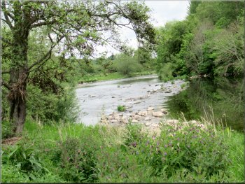
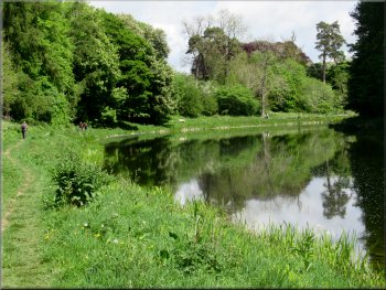
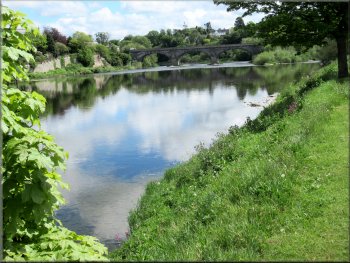
Fishing in the River Tweed seen from Kelso Bridge on the A699
|

|
|
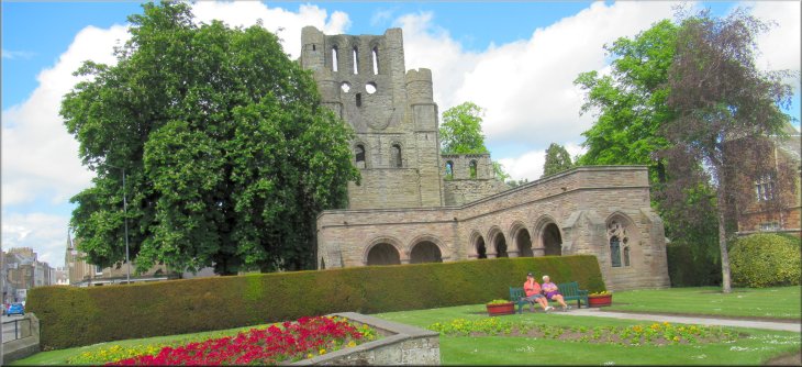
Entrance to the ruins of Kelso Abbey
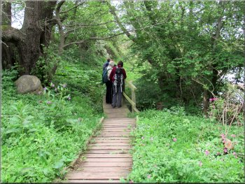
Stairs down to Bridgend Park
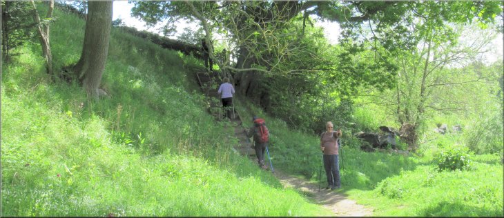
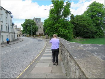
We crossed the Bridgend Park and climbed up another long series of steps to the B6352 where there was a fine view back over Kelso. |
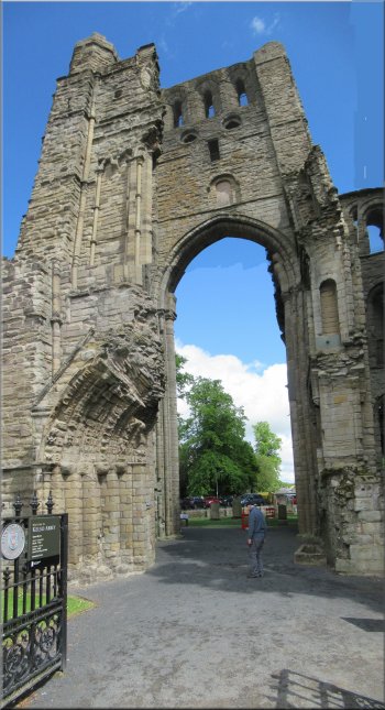
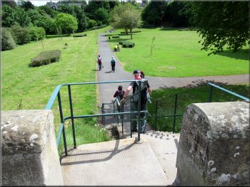
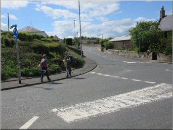
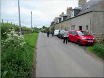
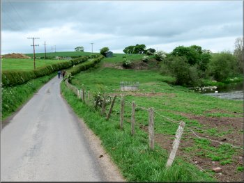
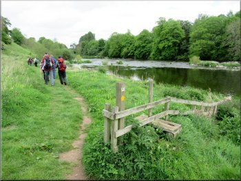
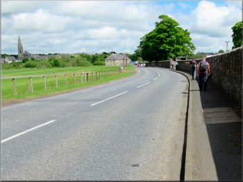
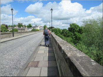
Our walk today starts at the entrance to the ruins of Kelso Abbey on the A699 at map ref. NT 727 339. From the abbey entrance we walked along the A699 to Kelso Bridge over the River Tweed. From the bridge we could see a man in chest high waders standing in the river holding a rowing boat from which there was another man fishing. Just across the bridge we turned left off the road to go down a flight of stairs down to Bridgend Park next to the River Tweed.

Setting off from Kelso Abbey to cross the Tweed on Kelso Bridge
Crossing the Tweed on Kelso Bridge
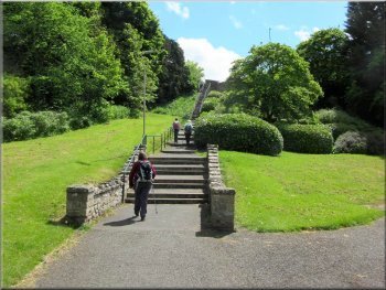
The long series of steps up from Bridgend Park
|
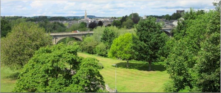
Looking back from the road at the top of the steps over Bridgend Park to Kelso
|
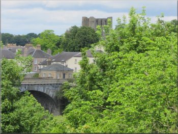
The tower of Kelso Abbey
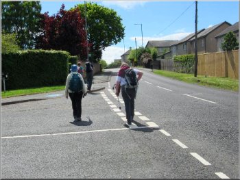
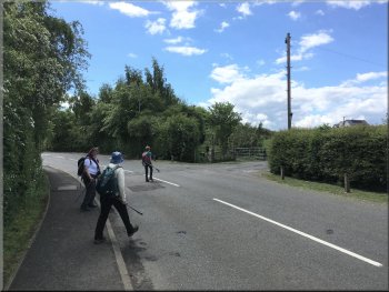
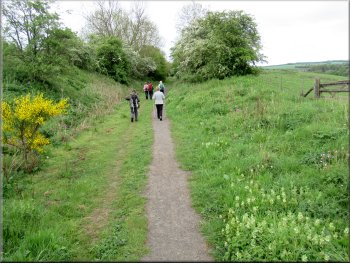
Making our way along Jedburgh Road
Here at the start of a left hand bend where Jedburgh Road joins the A698 we turned right off Jedburgh Road on to a path along the disused railway bed.
|
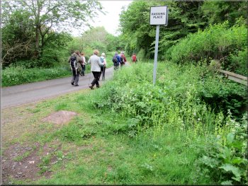
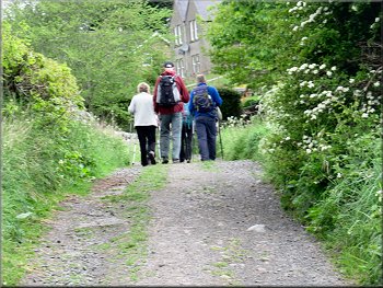
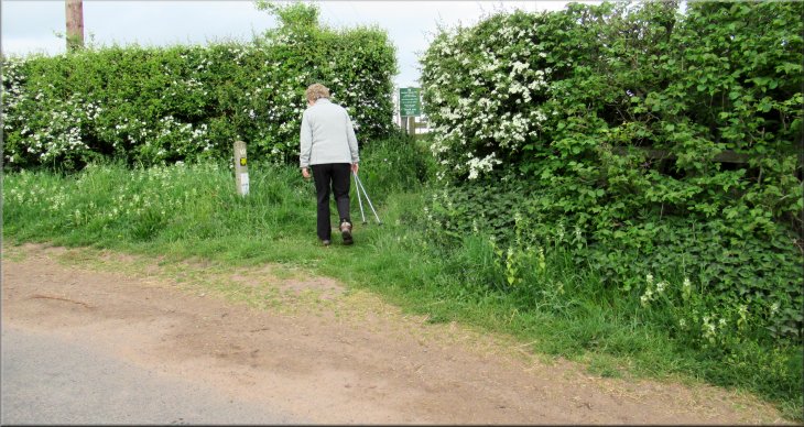
We walked along this road, the B6352, for about 100m and then turned right on to Jedburgh Road. We walked along Jedburgh Road for about 800m.
Our turning on to Jedburgh Road off the B6352
We had to go past the roundabout and then
crossover because there was so much traffic
Crossing Jedburgh Road to the start of the railway path
|
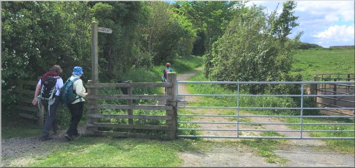
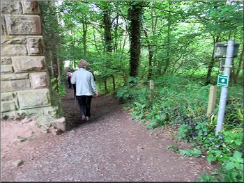
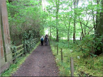
The start of the railway path off Jedburgh Road
|
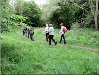
Following the railway path
Passing 'Maisondieu' on our right a little further on
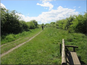
Continuing along the railway path towards Roxburgh
The railway path not far from our turning off it to the left
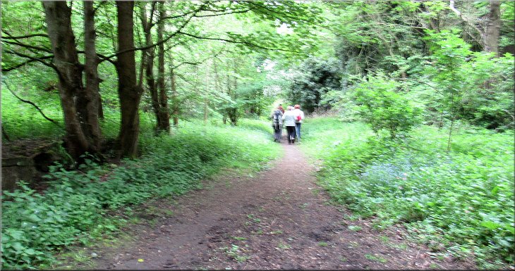
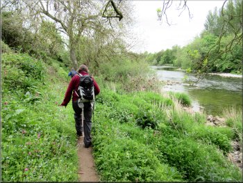
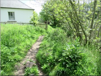
Here we kept to the path on the left off the railway path and we followed this path dropping down to a minor road heading for the River Teviot. |
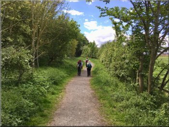
We continued along this railway path towards Roxburgh, above the River Teviot, for about 2.9km. At this point the railway begins to bend right to the Roxburgh Viaduct.
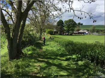
Passing Wallacenick farm on our right
A distant view of the Eildon Hills near Melrose
Continuing along the railway path towards Roxburgh
Our turning left off the railway path down to the road
|
Following the path from the railway down to the road
|
Turning right from the path to walk along the road
. . . then a sharp left turn to the path next to the viaduct
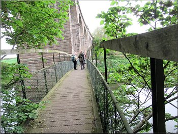
Crossing the River Teviot on the footbridge
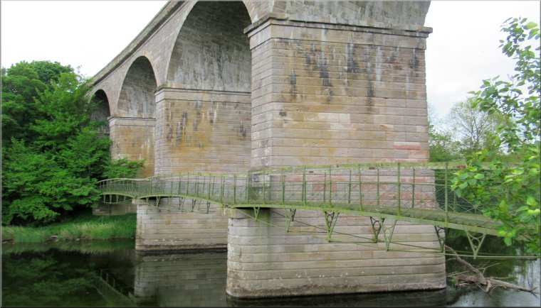
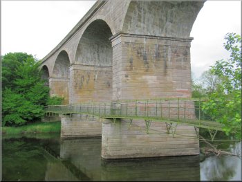
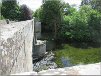
We followed this path to a footbridge at the side of the viaduct over the River Teviot. As soon as we reached the other side of the river we turned right on to the riverside path. Here we had joined the route of the 'Borders Abbeys Way'. |
At the road we turned right and walked down the road for about 200m and continued under the Roxburgh Viaduct. Immediately we had passed under the viaduct we turned left and walked along a path at the side of the viaduct.
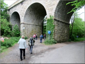
Passing under the viaduct . . .
Path to the footbridge next to the viaduct
Looking back to the viaduct & footbridge across the Teviot
|
Looking back at the railway viaduct it seemed clear that the footbridge had been an original feature of the viaduct structure. Each of the columns supporting the viaduct has an extension on the downstream side that supports the footbridge. Each span of the footbridge is bowed into a shallow arch held in place by a tensioning cable underneath.
From the footbridge we had joined the route of the Borders Abbeys Way
|
Track off the riverside path into Roxburgh
Following the road out of Roxburgh
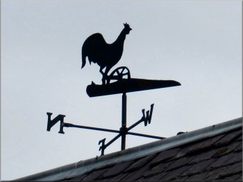
Weather vane at Roxburgh Mill
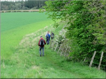
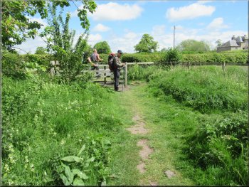
We walked along the road for about 800m, past the cemetery at the edge of the village, past Roxburgh Mill and up a hill to a stile into the fields on the right hand side of the road. |
From the viaduct we walked downstream along the river bank for about 100m and then turned left on a track into Roxburgh. After another 100m the track turned right and led us out to a minor road.
About to join the road in Roxburgh
Passing through Roxburgh Mill on the road
Following the road up the hill to a stile on the right at the top
|
Turning right off the road on to a path along the edge of the fields
|
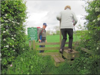
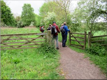
Crossing the stile from the road
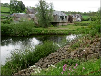
The old Heiton water mill on the other side of the river
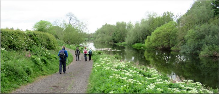
The Borders Abbeys Way by the River Teviot
Continuing along the Borders Abbeys Way by the River Teviot
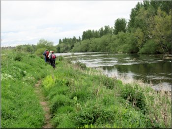
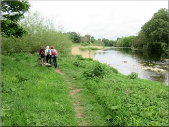
We followed the route of the Borders Abbeys Way along the river bank for about 1.5km to a little wooden shelter next to the path. We stopped at this shelter for a short lunch break with lovely views of the river and a heron fishing for some lunch on the far side of the river. |
We crossed the stile and followed the path around the edge of the field above the River Teviot. Across the river we could see the buildings of the old Heiton Water Mill, now converted into a large holiday cottage with a balcony overlooking the river.
Path along the field edge above the River Teviot
Continuing along the Borders Abbeys Way by the River Teviot
Continuing along the Borders Abbeys Way by the River Teviot
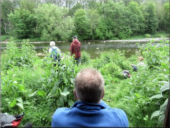
We had a break here at a little wooden shelters by the path
|
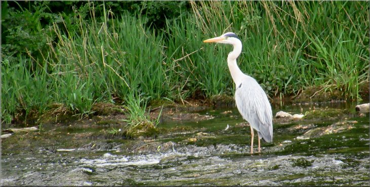
A heron fishing just down river from the shelter where we stopped for a break
|
Continuing along the Borders Abbeys Way by the River Teviot
Nearing the site of Roxburgh Castle
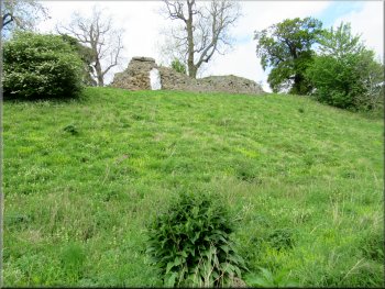
A remnant of the walls of Roxburgh Castle
From the site of the castle we continued along the riverside path around a long bend until we came to some wooden steps up the steep bank from the river up to the same level as the A699 road. |
About 500m further on we came to the start of the hill to the left of the path that is the site of Roxburgh Castle. The hill had been shaped into defensive earthworks and there was a remnant of the castle wall on the hill top.
Continuing along the Borders Abbeys Way by the River Teviot
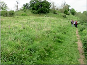
The hill on our left is the site of Roxburgh Castle
The path continued round a long wooded bend in the river
|
Stairs from the river bank up to the road level(A699)
|
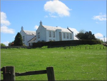
The path passed between this house and the drop to the river
The A699 Teviot Bridge
Following the A699 into Kelso
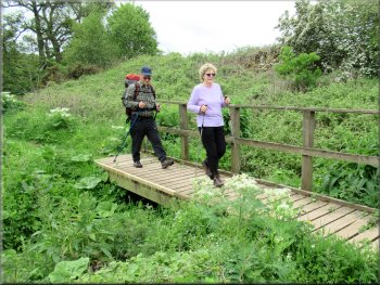
Crossing Kelso Bridge over the River Tweed
We crossed the Kelso Bridge over the Tweed and followed the road back to the ruins of Kelso Abbey and the end of our walk. It had been a lovely sunny day with a light breeze, just perfect for our walk of a little under 12km that had taken us almost four and a half hours. A great start to our stay in Kelso. |
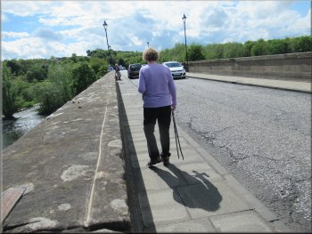
The path continued next to the road, past a house and then out to the road next to the A699 Teviot Bridge. We crossed the bridge and continued along the A699 for about 1km and there we followed the A699 across the Kelso Bridge over the River Tweed.
Gate from the path out to the road, A699
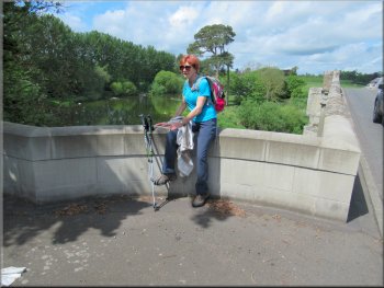
A short rest on the bridge parapet
The River Tweed on our left as we walked along the A699
Walking along the A699 towards Kelso Abbey
|
Back at Kelso Abbey and the end of our walk
|