|
2001 walks |
2002
walks |
2003 walks |
2004
walks |
|
2005 walks |
2006
walks |
2007 walks |
2008
walks |
|
2009 walks |
2010
walks |
2011 walks |
2012 walks |
|
2013 walks |
2014 walks |
2015 walks |
2016 walks |
|
2017 walks |
2018 walks |
2019 walks |
2020 walks |
|
2021 walks |
1993-2000 library |
Find a Route Index |
|
A few Routes to print out |
Request a Route... |
Route No. 766 - Wednesday 13 March 2019
Cardrona Forest extended 'Yellow'
way marked circular walk - 5km
Tweed Valley Forest Park, Scottish Borders . . .
Route map from Ordnance Survey
Open Space service.
Map: OS Explorer 337 Peebles & InnerLeithen
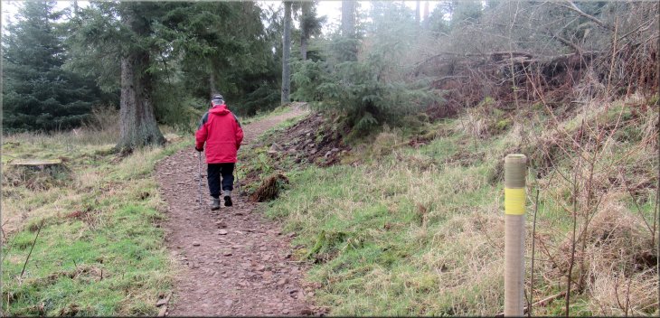
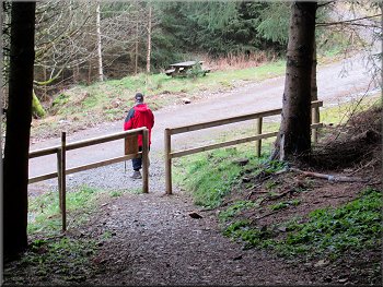
My friend, Jim, and I are staying in a pub in Peebles in the Scottish Borders for a couple of nights to do short walks in the Tweed Valley Forest Park. This morning we drove from Peebles to a car park off Kirkburn Road at the Cardrona Forest on Cardrona Hill near Innerleithen, map ref. NT 292 385.
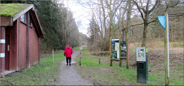
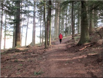
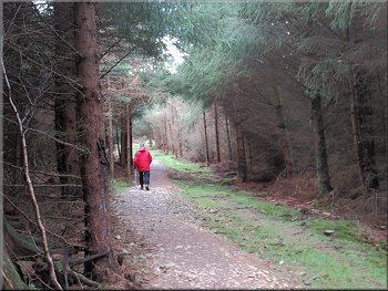
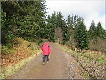
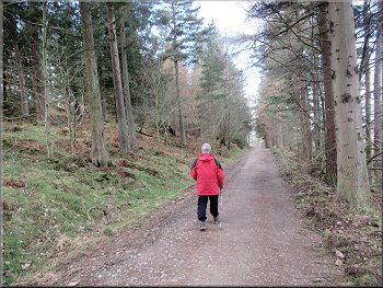
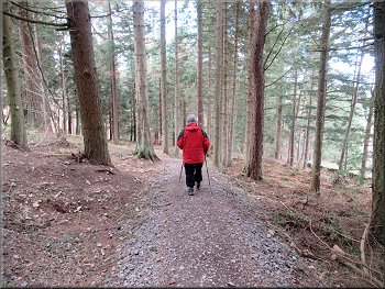
Setting off from the car park along the Yellow way-marked route
|

|
|
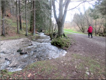
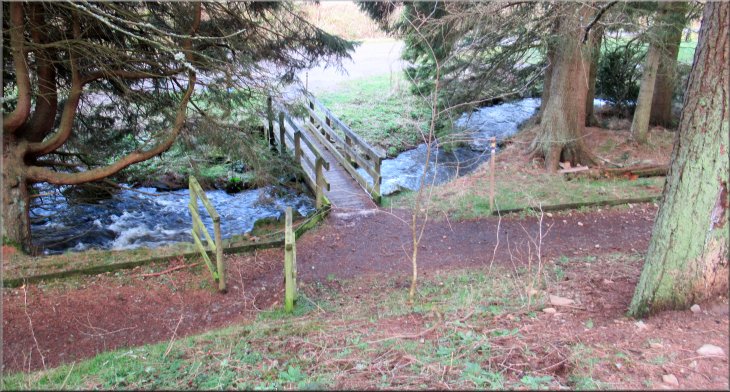
Kirk Burn next to the path
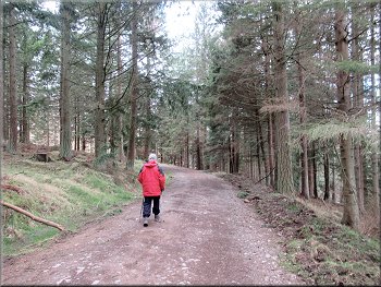
We followed the track south from the car park into the forest. There are some public toilets at the edge of the car park and about 100m further on there is a footbridge on the left hand side of the track across Kirk Burn. |
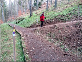
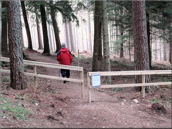
There are several way-marked trails from the car park. We had chosen to walk the 'Yellow' route plus a short extension to a large cairn on Pikes Knowe (on the 'Brown' route). The routes are well marked by poles with coloured bands round their tops.
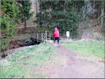
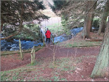
Footbridge over Kirk Burn
|
Looking back, down to the footbridge over Kirk Burn
|
Starting up the zig-zag path from the footbridge
Continuing up the zig-zag path
The path followed a zig-zag route providing a fairly gentle climb up the steep hillside. The zig-zag path brought us to a wide forest access track called Kirkburn Upper Road. |
We crossed the footbridge and from there we followed the Yellow Route clearly shown by the way-mark poles and their coloured bands.
Rounding the first hairpin bend in the path
Nearing Kirkburn Upper Road
|
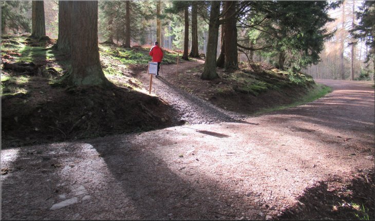
Continuing along the Yellow Route across Kirkburn Upper Road
|
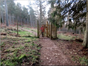
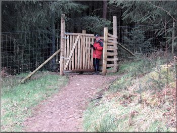
Gate in the deer fence across the path
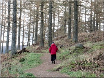
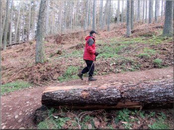
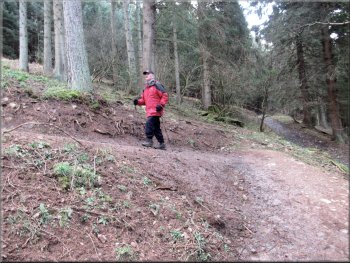
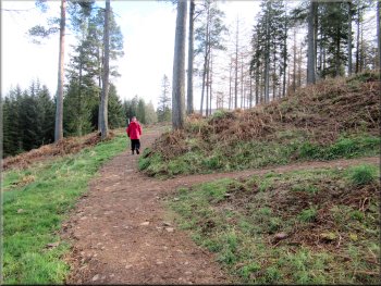
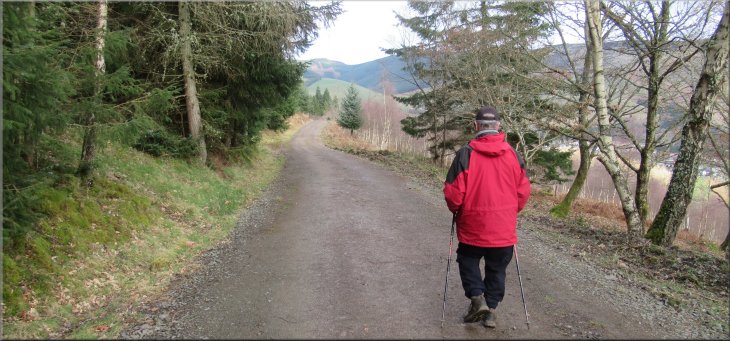
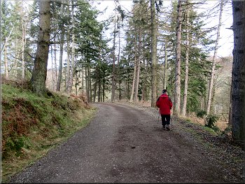
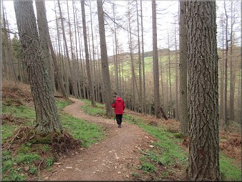
The climb up Cardrona Hill continues
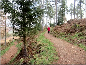
The climb up Cardrona Hill continues
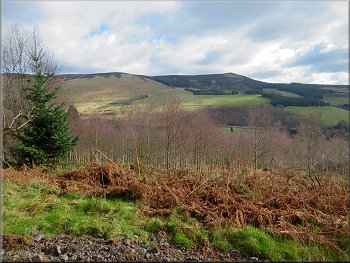
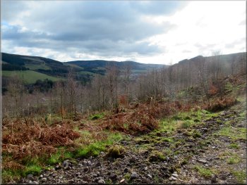
The route was well marked and easy to follow. The coloured bands showed the Yellow and the Brown routes were still using the same paths. There were occasional breaks in the trees giving us some good views across the Tweed Valley to the east of Cardrona Hill. |
The Yellow Route crossed the Kirkburn Upper Road diagonally and continued climbing up the hillside. Very shortly we came to a high deer fence with a very new looking wooden kissing gate through it. Beyond the deer fence we continued along the path.
The climb up Cardrona Hill continues
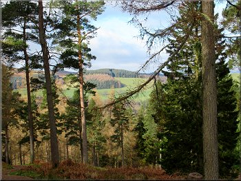
Looking out through a gap in the trees
Looking out through another gap in the trees
|
The Yellow & Brown Routes are still using the same paths
|
Passing through the second gate in the deer fence

At this fork we took the right hand path, the Brown Route
The Brown Route heading for Pikes Knowe
We took the left hand fork and followed the brown route for about 500m up to a large stone cairn to the left of the path on Pikes Knowe. We stopped here at the cairn and then returned the way we had come back to the fork in the path. |
Along this path we came to another deer fence and a similar wooden gate through it. We continued along the way-marked trail beyond the deer fence until the path forked. Here the brown route to the right makes a large loop up via Pikes Knowe to an old hill fort on Castle Knowe.
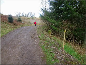
Continuing along the Yellow Route
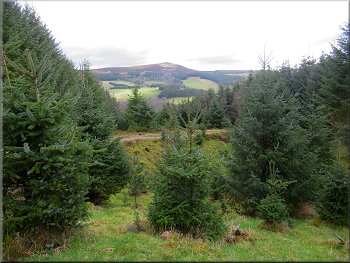
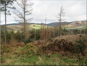
Looking back eastwards across the Tweed Valley
The Brown Route heading for Pikes Knowe
|
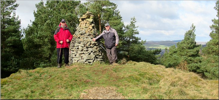
Large stone cairn on Pikes Knowe but not on the top
|
We returned to the fork in the path & re-joined the Yellow Route
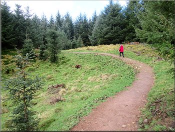
The track is called Castleknowe Road, and at this forest access road we turned left still following the way-marked Yellow Route. |
When we reached the fork we turned right and resumed our way along the Yellow Route. After a little over 100m the path dropped down to a wide forest access track.
The path led us to the Castleknowe Road where we turned left
|
Following the Yellow Route along Castleknowe Road
|

Following the Yellow Route along Castleknowe Road
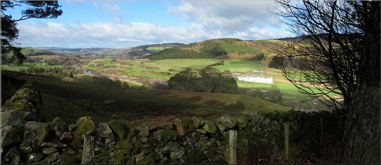
The Tweed Valley seen from Castleknowe Road
Following the Yellow Route along Castleknowe Road
At the bend the forest road became the Kirkburn Upper Road and here we paused at a seat on the outside of the bend looking out across the Tweed Valley now to the north. It was a lovely view in the morning sunshine. |
There was a fine view to our right from the forest road looking east across the Tweed Valley. We walked down the Castleknowe Road for about 900m to a left hand bend.
The Tweed Valley seen from Castleknowe Road
Following the Yellow Route along Castleknowe Road
Nearing the bend at the end of Castleknowe Road
|
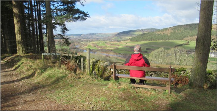
Seat at the bend overlooking the Tweed Valley where Castleknowe Road ends and Kirkburn Upper Road begins
|
Walking along Kirkburn Upper Road from the seat
Nearing our right turn off Kirkburn Upper Road
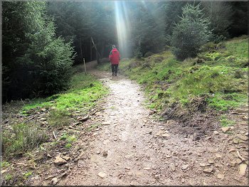
Retracing our outward route down the hillside
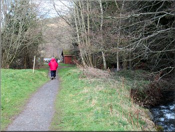
Crossing back over Kirk Burn
We crossed the footbridge over Kirk Burn and turned right along the track back into the car park and the end of our walk. The whole walk had been just under 5km and it had taken me and my wonky knees about two and a half hours to walk it. |
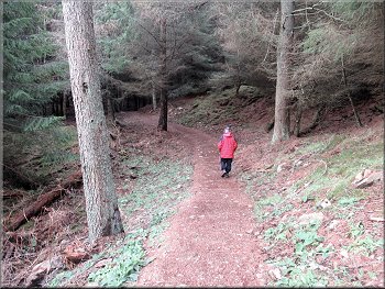
From the seat we continued along the Kirkburn Upper Road for about 500m back to the point where we had crossed the Kirkburn Upper Road on our outward route. From here we retraced our outward route along the zig-zag path back down the hillside.
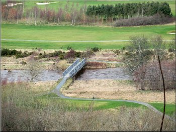
Bridge over the R. Tweed seen from the Kirkburn Upper Road
Path down the hillside from Kirkburn Upper Road
Retracing our outward route down the hillside
Returning to the car park
|
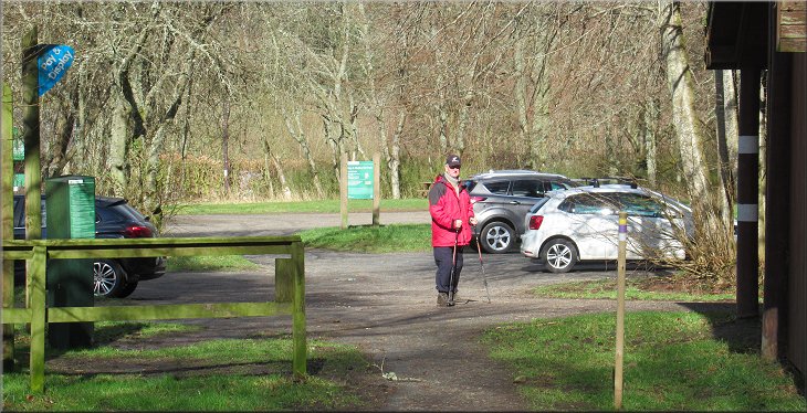
Back at the car park at the end of our walk
|