|
2001 walks |
2002
walks |
2003 walks |
2004
walks |
|
2005 walks |
2006
walks |
2007 walks |
2008
walks |
|
2009 walks |
2010
walks |
2011 walks |
2012 walks |
|
2013 walks |
2014 walks |
2015 walks |
2016 walks |
|
2017 walks |
2018 walks |
2019 walks |
2020 walks |
|
2021 walks |
1993-2000 library |
Find a Route Index |
|
A few Routes to print out |
Request a Route... |
Route No. 760 - Thursday 14 February 2019
North Lane car park, White Crag House,
Beecroft Moor Plantation, Ridge Top Farm,
Timble, Nether Timble, Swinsty Hall
6km circuit - Washburn Valley . . .
Route map from Ordnance Survey
Open Space service.
Map: OS Explorer 297 Lower Wharfedale & Washburn Valley
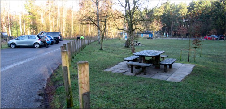
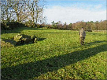
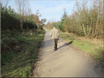
The start of our walk at the car park, toilets & picnic area off North Lane at the end of Fewston reservoir dam
|

|
|
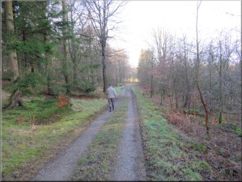
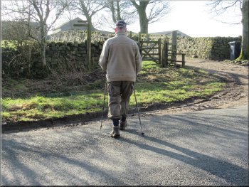
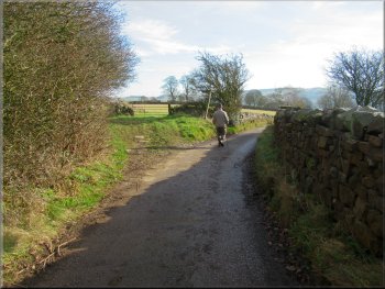
Crossing North Lane from the car park
Following the road towards White Crag House
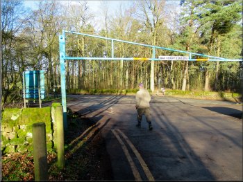
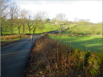
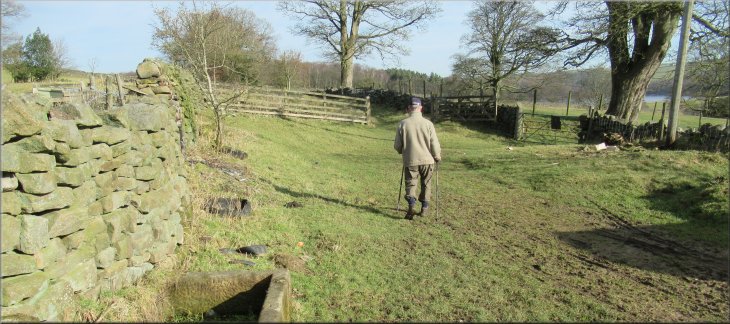
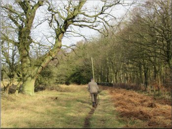
We left the car park on to North Lane and crossed North lane to a small fenced millennium memorial stone set at the junction of the road from the Fewston Reservoir dam heading for Otley and North Lane heading to Timble. From this little memorial we walked along the road towards Otley for about 350m to a point just beyond White Crag House. |
Thursday is my regular walking day with Jim, my friend and neighbour who lives across the street from me. We have been very lucky with the weather this year and yet again today turned out to be an absolutely perfect day for a walk with clear blue sky, bright sunshine and a light mild breeze. We drove to the Yorkshire Water car park, toilets and picnic area off North Lane at the southern end of the dam at Fewston Reservoir in the Washburn Valley (map ref. SE 187 537).
Millennium memorial stone by North Lane

Turning right off the road just past White Crag House
|
Looking down to Fewston reservoir from the footpath near White Crag House
|
Footpath from the road at White Crag House
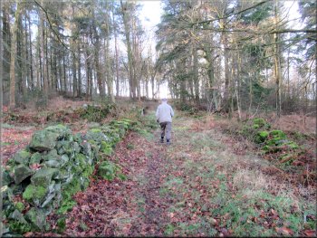
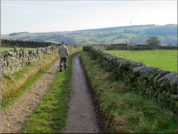
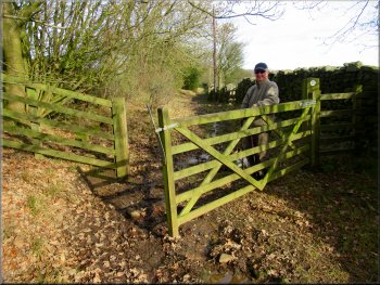
Through the gate ahead we turned left following the wall . . .
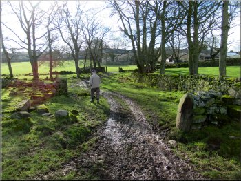
Through the gate we turned left following the public footpath along the side of the wall for about 100m to a gate out of the field into Beechcroft Moor Plantation. |
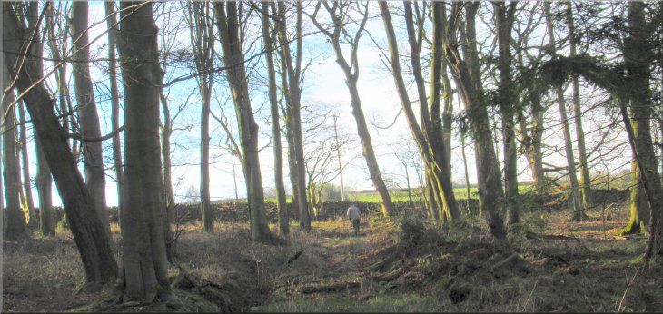
Just past White Crag House we turned right off the road to follow a public footpath across the fields. After about 150m we passed a ruined stone farm building and came to a gate in the corner of the small field north of the ruined building.
Crossing a small field north of the ruined farm building

. . . to a gate into Beecroft Moor Plantation
|
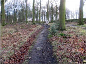
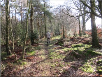
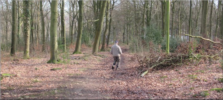
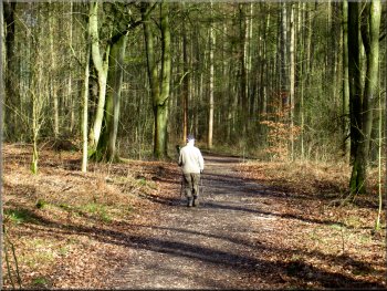
Through the gate the public footpath continued along a wide track through the plantation heading roughly westwards
|
A forestry track joined our track from the right
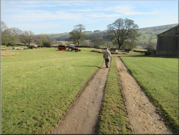
Left turn off the track up to the southern edge of the plantation
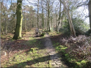
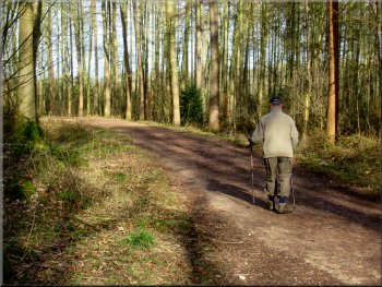
We continued following the public footpath along the track for another 250m where another way-marked footpath crossed the track also heading for Timble ridge to the left of our track. Another 170m further on we turned left off the track to follow a public footpath along a track up the hillside to the southern edge of the plantation. |
Through this gate the public footpath continued along a wide track through the plantation heading roughly westwards. After about 250m along this track, another forestry track joined our track from our right and on the opposite side of our track there was a way-marked footpath off to our left heading towards Timble Ridge.
We continued along the track through the plantation
Grassy track up to the southern edge of the plantation
|
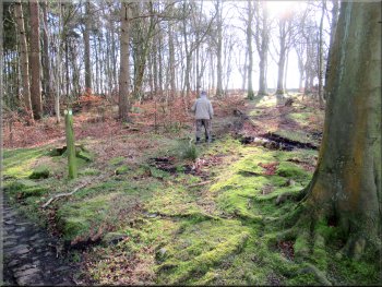
About to turn left as we reached the southern edge of the plantation
|
Path towards the road at Timble Ridge
Path towards the road at Timble Ridge
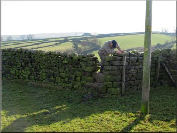
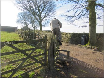
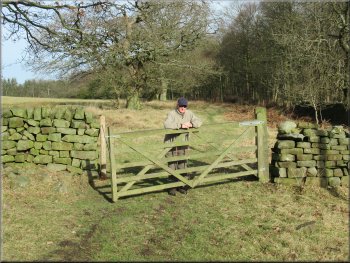
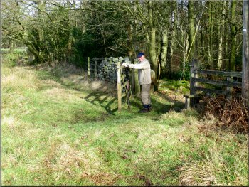
There was a stile at the corner of the wall onto the road and a few metres away there was also a gate on to the road. There was no fastening on the gate and it was much easier for my ancient knees than the stile. |
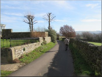
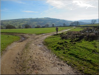
At the southern edge of the plantation we followed our footpath along the track round to our left heading through the plantation towards the road at Timble Ridge. After about 550m from our turning we reached the road, North Lane.
Path towards the road at Timble Ridge
Path towards the road at Timble Ridge
|
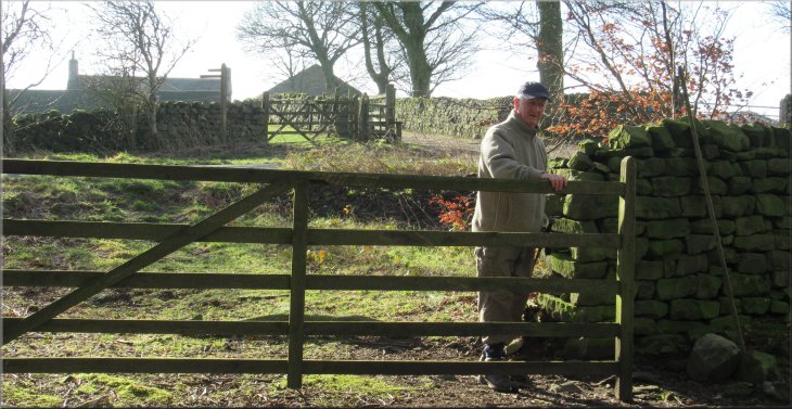
Gate to the road opposite Ridge Top Farm
|
Crossing the road to the Ridge Top Farm access track
Stile on the path towards Timble
Path at the side of a stone building in Timble
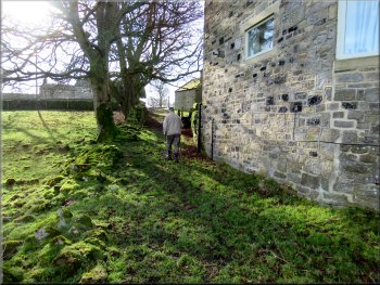
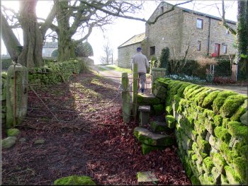
We crossed the stile out of this field and continued along the footpath next to the stone wall heading across several fields to the village of Timble. The field path came along the side of a stone built house to a short length of lane out to the village street. |
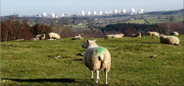
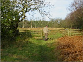
We crossed the road to the access track to Ridge Top Farm. At the start of this access track on the left hand side there was a stile into the field. This was our path across the corner of the field close to the farm buildings on our right. From this field with its flock of sheep there was a view across the valley to the 'golf balls' of the Menwith Hill base.
Stile into the field at the start of the farm access track
Path across the fields to Timble
Short lane out to the village street in Timble
|
Looking to our left along the village street to the Timble Inn
|
Leaving Timble along the lane to High Field Farm
Grassy track on the left is the route of the Harrogate Link
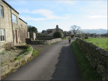
Just beyond High Field Farm there was an old byway heading south off the road and about 25m further on there was a grassy track forking off to the left but we ignored them both and continued following a public footpath along the surfaced lane away from Timble village and past Book End Farm on our left. |
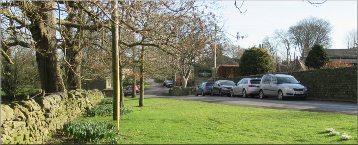
Away to our left along the village street, North Lane, we could see the Timble Inn and ahead there was a road junction where we followed the road around to our right leading out of the village past High Field Farm.
Leaving Timble along the lane past High Field Farm
Following the lane to Book End Farm
|
Passing Book End Farm where the surfaced lane ended
|
Access track to Nether Timble farm from Book End farm
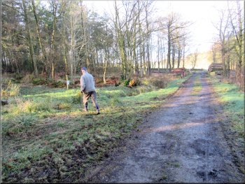
Following the access track to Nether Timble farm
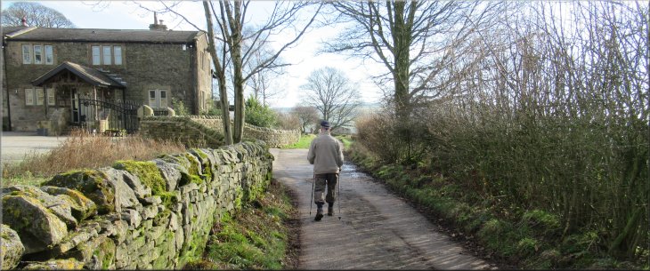
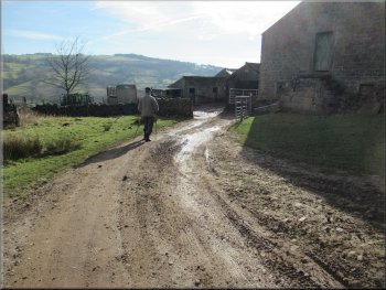
The public footpath used to go through the farm but now it simply follows the access track past the northern end of the farm to join the track called High Lane, where we turned left to head generally northwards. |
At Book End Farm the surfaced lane ended and became a farm access track. We continued following the public footpath along this access track as it made its way down the hill side to Nether Timble farm.
Following the access track to Nether Timble farm
Track at Nether Timble farm about to join High Lane
|
Leaving Nether Timble farm along the grassy track called High Lane
|
Making our way along High Lane
Making our way along High Lane
Making our way along High Lane
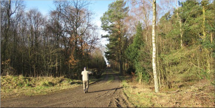
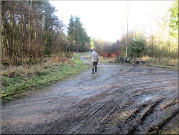
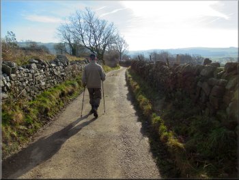
We made our way along High Lane for about 600m from Nether Timble farm to a turning on the right down through some woodland, towards Swinsty Hall. |
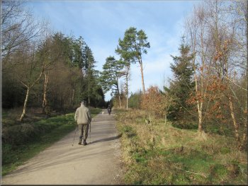
The Six Dales Trail goes along High Lane and it turned out to be quite a muddy route in places with a small watercourse running along it.

Making our way along High Lane
Making our way along High Lane
Our right turn off High Lane towards Swinsty Hall
|
Path down through the woodland towards Swinsty Hall
|
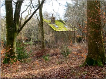
One of the buildings at Swinsty Hall
We took the permissive path round to the north side of Swinsty Hall and there we turned left continuing to follow the route of the Six Dales Trail along a forestry track. |
After about 200m the track swings round left and then back to the right to by-pass Swinsty Hall along a permissive path but there is still a public footpath straight ahead that passed though the site of the hall but it does not seem to be well used.
Permissive path bypassing Swinsty Hall
|
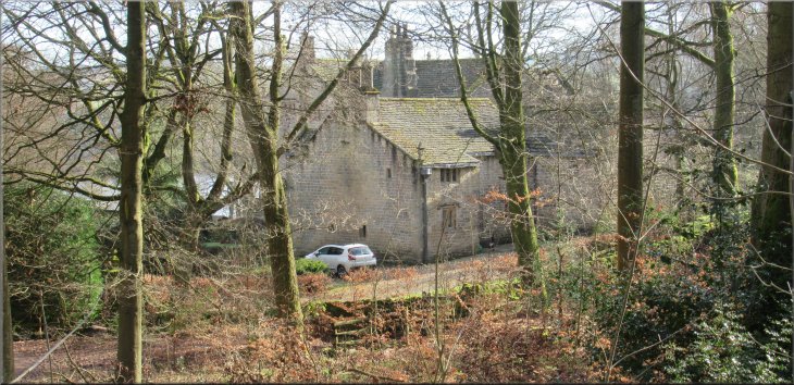
Part of Swinsty Hall seen from the permissive path
|
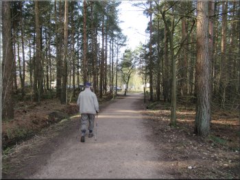
The Six Dales Trail route from Swinsty Hall
The Six Dales Trail route back to the car park
On our way home we called at the Fewston Farm shop just off the A59 where we had a very acceptable bacon & sausage sandwich and a coffee to round off our morning walk in the sunshine. |
We continued along this track for about 900m from Swinsty Hall back to the car park and the end of our walk. The whole route had been 6km and it had taken us about two hours to walk.
The Six Dales Trail route from Swinsty Hall
Nearing the car park at the end of our walk
|
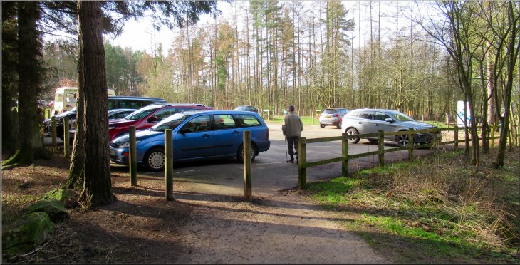
Back in the car park at the end of our walk
|