|
2001 walks |
2002
walks |
2003 walks |
2004
walks |
|
2005 walks |
2006
walks |
2007 walks |
2008
walks |
|
2009 walks |
2010
walks |
2011 walks |
2012 walks |
|
2013 walks |
2014 walks |
2015 walks |
2016 walks |
|
2017 walks |
2018 walks |
2019 walks |
2020 walks |
|
2021 walks |
1993-2000 library |
Find a Route Index |
|
A few Routes to print out |
Request a Route... |
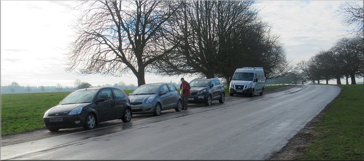
Route No. 758 - Thursday 24 January 2019
Walkington Road, Westwood Pasture,
Beverley Minster, Keldgate, Kitchen Lane,
Ripon Avenue, Blackmill circuit - 6km
Beverley, East Yorkshire . . .
Route map from Ordnance Survey
Open Space service.
Map: OS Explorer 293 Kingston-upon-Hull & Beverley
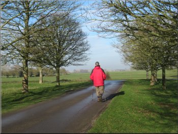
Our parking spot on Walkington Road near an exit from Westwood Pasture
|

|
|

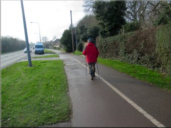
Setting off from our parking spot
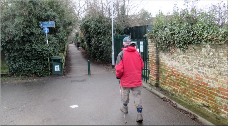
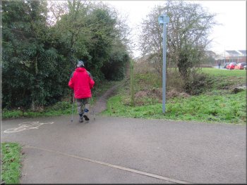
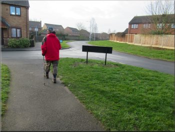
Turning left onto the path by the Minster primary school
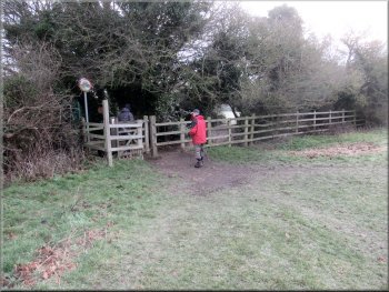
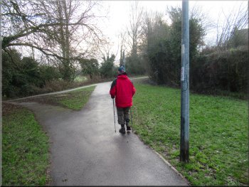
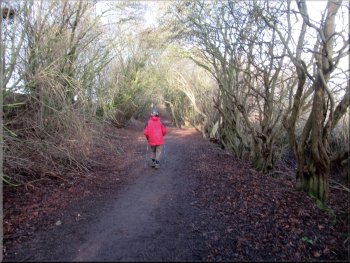
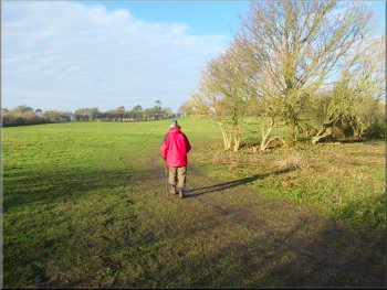
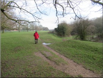
Then we turned right and followed a public footpath roughly southwards along the edge of the pasture for about 150m. Then we turned left leaving Westwood Pasture on a public footpath along a fenced path at the edge of a school. After about 200m we came out of the path onto a street called Ellerker Road. |
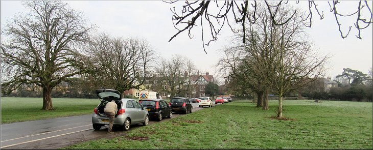
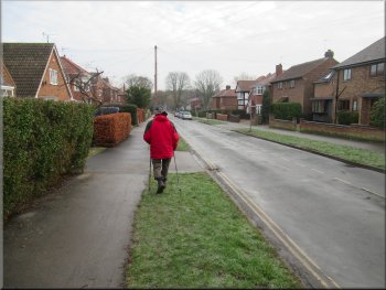
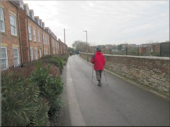
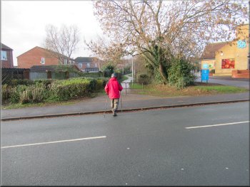
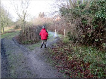
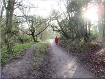
This morning was dull and cloudy. My neighbour, Jim, and I drove to Beverley in East Yorkshire and parked at one of the entrances to Westwood Pasture on Walkington Road at map ref. TA 027 393. From our parking spot we walked back next to the road for a few metres to the entrance to the pasture.
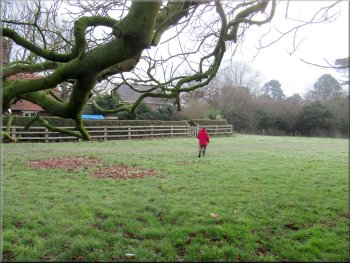
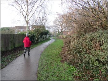
Footpath along the east side of Westwood Pasture
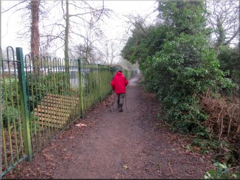
Path next to Beverley Minster Primary School
|
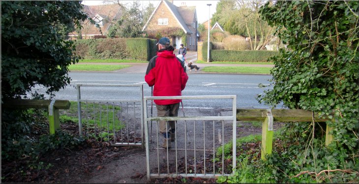
Turning right from the path by the school onto Ellerker Road
|
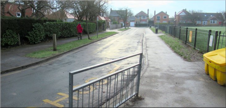
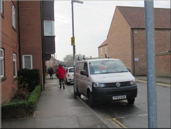
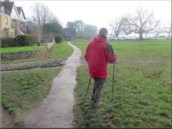
Turning left from Ellerker Road onto Central Avenue
Walking along Central Avenue

Crossing from Admiral Walker Road to Minster Moorgate
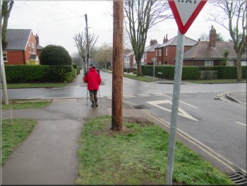
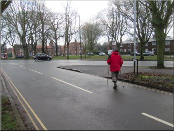
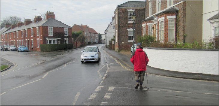
We crossed Admiral Walker Road to the trees on a large grassy triangular island. We crossed the island to a road called Minster Moorgate and walked along this road for about 300m to the corner of Beverley Minster. |
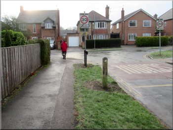
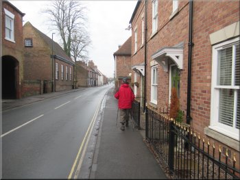
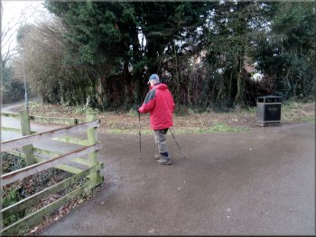
From the end of the footpath we turned right and walked along Ellerker Road for about 100m to its junction with Central Avenue. At the junction we turned left and walked along Central Avenue for about 300m to the junction with Admiral Walker Road
Walking along Central Avenue
Junction of Central Avenue and Admiral Walker Road
Starting to walk along Minster Moorgate
|
Nearing Beverley Minster along Minster Moorgate
|
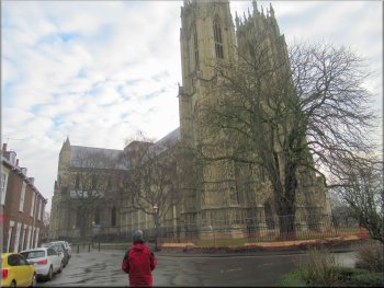
The Minster seen from the end of Minster Moorgate
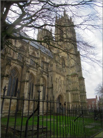
The towers seen from Minster Yard North

The Minster seen from Minster Yard South
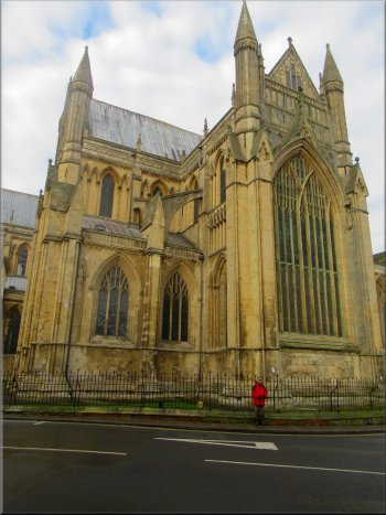
Beverley Minster is a magnificent building and we walked all around it first along Minster Yard North, then around the east end of the Minster and finally along Minster Yard South, the B1230 on the south side of the Minster. |
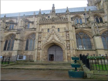
The north entrance to the Minster
The east end of the Minster
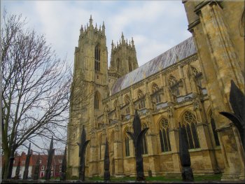
The Minster Towers seen from the B1230
|
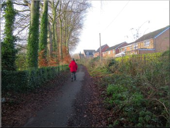
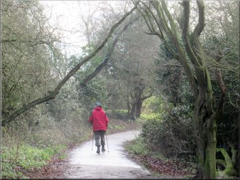
Leaving the Minster behind as we walked along Keldgate
|
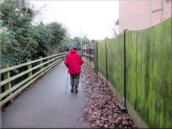
Walking along Keldgate towards our turn to Kitchen Lane
Walking along Kitchen Lane
The terrace houses looked out over a large area of allotment gardens on our right. At the end of the terrace houses the road turned left but we continued straight ahead along a fenced public footpath. |
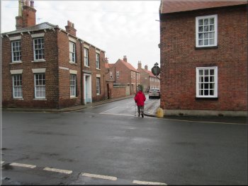
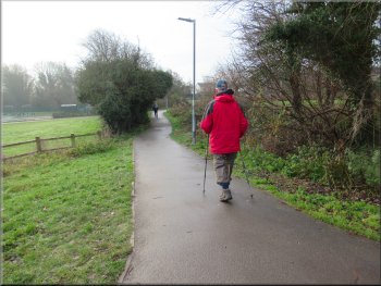
We left the Minster walking along Keldgate and about 400m from the Minster we turned left off Keldgate onto Kitchen Lane. After about 100m the road narrowed into service road in front of a several rows of modern terrace houses on our left.

This sign conflicts with the OS map that shows a public footpath
Terrace houses on the left and allotment gardens on the right
|
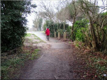
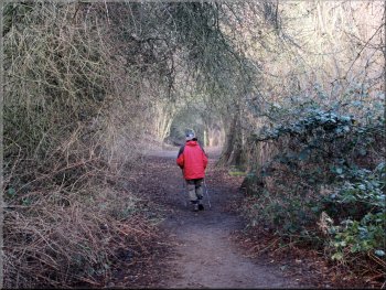
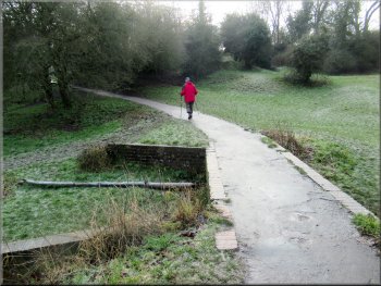
Continuing along the public footpath from Kitchen Lane
|
Public footpath from Kitchen Lane
About to cross Woodmansey Mile
Continuing along an unsurfaced path after the school
Passing the junction with Willow Lane on our left
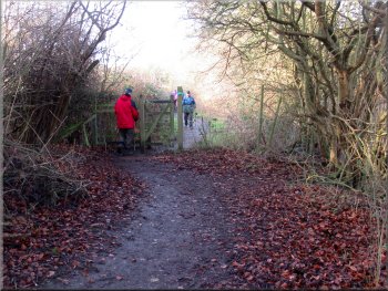
For the first 150m from Woodmansey Mile past the school the path was surfaced then there was an unsurfaced section before we came to a few concrete steps to a surfaced path again. We continued along this path past the end of Willow Lane on our left and a little under 100m further on we turned right into the end of a cul-de-sac called Norwich Court. |
After about 100m we followed the path bending to our right and heading towards Newton Drive with Butt Lane opposite. About 20m before we reached Newton Drive there was a junction in the path where we turned left and followed the path out to Woodmansey Mile. We crossed Woodmansey Mile and continued along the footpath at the edge of the Keldmarsh Primary School site.
Turning left towards Woodmansey Mile
Surfaced path passing Keldmarsh Primary School
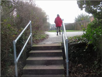
Steps up to more surfaced path
Turning right from the path into Norwich Court
|
Walking along Norwich Court to the junction with Ripon Avenue
|
Turning from Norwich Court onto Ripon Avenue
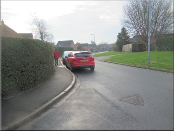
Crossing Lincoln Way to the footpath next to the Coop
The path opposite was bounded by a high hedge on its right and garden fences on its left. Next to the footpath there was a Co-op supermarket and next to that there was a Fish & Chip shop and a few other stores. We crossed Lincoln Way and followed the footpath opposite between the houses for about 350m to Victoria Road. |
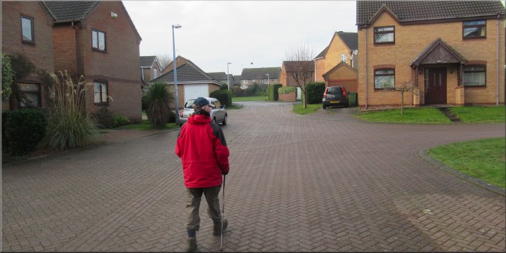
We walked along Norwich Court to its junction with Ripon Avenue and there we turned left to walk along Ripon Avenue. After about 220m we came to the end of Ripon Avenue at its junction with Lincoln Way. Across Lincoln Way and a little to our right there was a surfaced footpath.
Following Ripon Avenue towards Lincoln Way
Footpath from Lincoln Way to Victoria Road
|
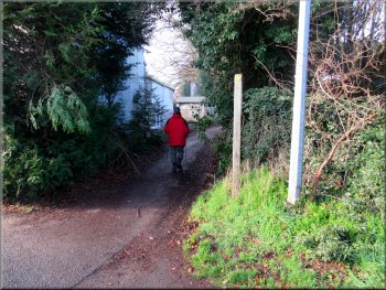
Ready to cross Victoria Road
|
We turned left and walked along Victoria Road for 25m . . .
We followed the path around the edge of the housing estate
Wooded bank on the left screening the chalk pit
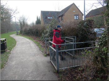
The path kept close to the houses on our right and bent round to our right. After about 250m there was a housing estate on out right and on our left there was a wooded embankment that surrounded a chalk pit. We continued along the path past the housing estate and then turned left around the edge of the chalk pit site. |
Victoria Road was quite busy with fast traffic and there was a Police speed check van parked at the road side. We had to wait for quite a while before there was a safe gap in the traffic to cross. Once across Victoria Road we turned left and walked along the road for about 25m and then turned right to follow a public footpath between the houses.
. . . & then turned right to a path between the houses
We kept on the path near the houses
Wooded bank on the left and field hedge on the right
|
The path turned left around the corner of the chalk pit
|
The path skirted the northern edge of the chalk pit
Path round some scrubland at the side of the field
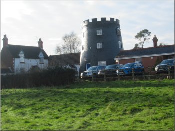
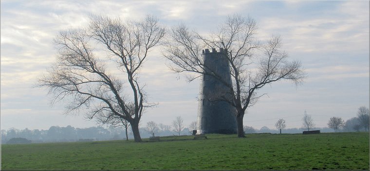
Windmill base built into the golf club house
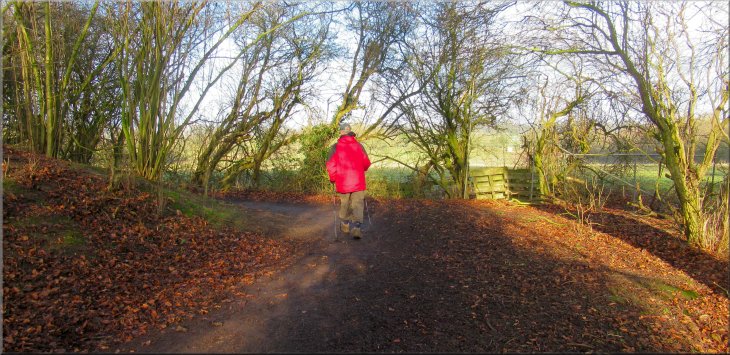
We passed through the gate into Westwood Pasture and followed a path to our left across the pasture to the drive at the Beverley & East Riding Golf Club. Built into the club house is the remaining part of and old wind mill all painted black. We walked along the drive from the club house to Walkington Road. |
At the end of the chalk pit site we came to a gate into the fields. Through the gate we turned right and followed the path round an area of scrub land and along the hedge on our right to a gate in the corner of the field.
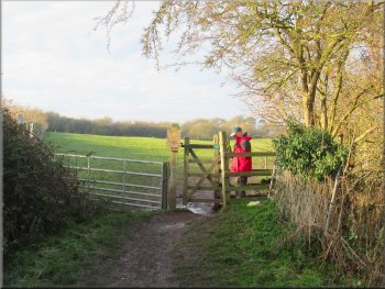
Gate into the field at the end of the chalk pit
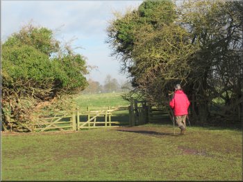
Heading for the gate in the corner of the field
Drive from the club house out to Walkington Road
|
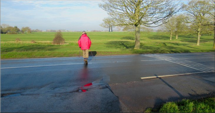
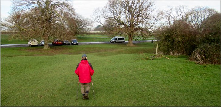
Crossing Walkington Road from the Club House drive
|
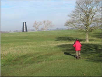
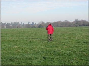
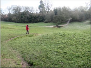
Making our way across the grassland to Blackmill
Once we were clear of the golf course we set off away from the road aiming for the tall tower of another old wind mill called Blackmill about 250m away across the grassland. From Blackmill we could see the grandstand and racecourse buildings at Beverley Racecourse about 1km away to the north. |
We crossed the road and opposite was part of the golf course. We followed Walkington Road, walking across the grass next to the trees for about 150m to skirt round the first tee of the golf course.
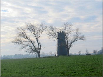
Blackmill at a high point in the grassland
|
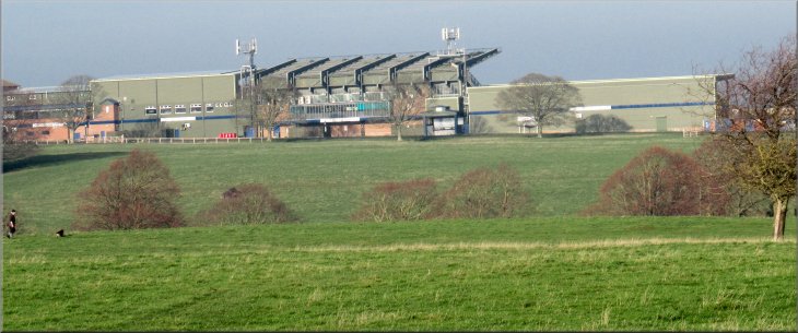
The grandstand and other buildings at Beverley Racecourse seen from Blackmill
|
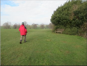
Crossing grassland from Blackmill towards Newbegin Pits
We set off heading roughly northeast for about 450m until we reached the edge of the woodland. At the wood we turned left and walked around the edge of Newbegin Pits and dropped down the slope to a parking area at Newbald Road. This would make a good alternative place to start & end this circular walk. |
To the northeast there was an area of woodland in the old chalk pit called Newbegin Pits. We could see people walking around the edge of the wood and there were seats placed at intervals around the wood.
Seat by the woods at Newbegin Pits
|
Dropping down round Newbegin Pits to the parking area at Newbald Road
|
Continuing along the path round Newbegin Pits
Joining the surfaced path on the east side of Newbegin Pits
The path southeast along the edge of Westwood Pasture
We were heading generally southeast along the edge of the pasture back to our parking spot on Walkington Road and the end of our walk. The whole route had been a little over 6km and it had taken us about two & a quarter hours to walk. The weather had gradually improved all morning and we ended the walk in bright sunshine. |
From Newbald Road we continued along a path around the edge of Newbegin Pits. After about 250m we joined a surfaced path along a public footpath coming from York Road. We followed this surfaced path between Newbegin Pits and the eastern edge of Westwood Pasture.
Continuing along the path round Newbegin Pits
The path southeast along the edge of Westwood Pasture
Cutting the corner back to the car
|
Returning to the car at the end of our walk
|