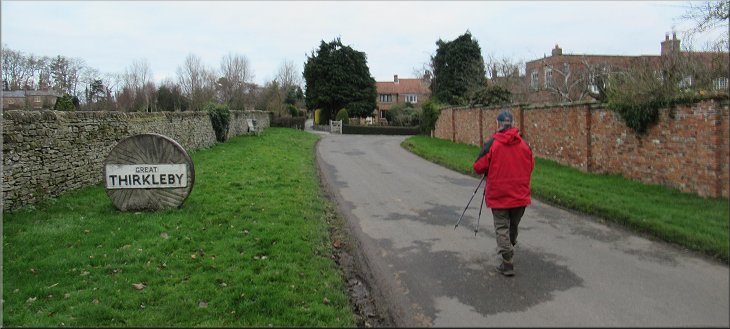
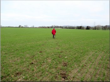
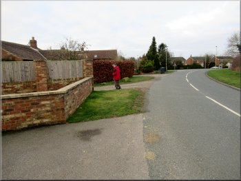
Setting off from our parking spot on Long Causeway heading into Thirkleby
|

|
|
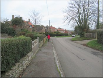
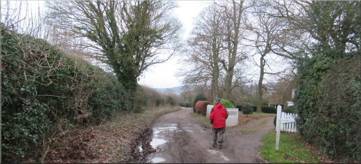
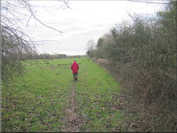
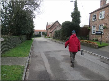
Entering Thirkleby along Long Causeway
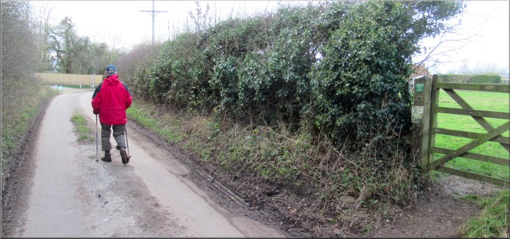
Our parking spot was a few metres before we reached the village name sign at map ref. SE 475 788. The road here is called Long Causeway and we set off from our parking spot walking along the road into the village. We followed this road round a right hand bend into the village and then turned left off Long Causeway on to Mill Lane. |
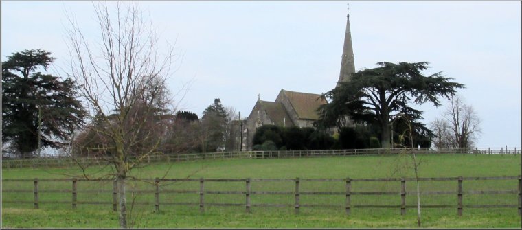
Today the weather was cloudy but fine. We could only manage a short local walk this morning so my friend, Jim, and I drove to the village of Great Thirkleby just off the A19 between Easingwold and Thirsk. We parked on the grass roadside verge about 100m beyond the turning to All Saints church.
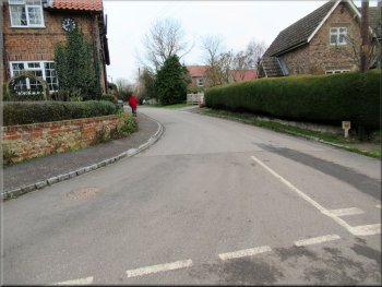
Our turning off Long Causeway on to Mill Lane
|
Passing Thirkleby House on Mill Lane
|
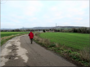
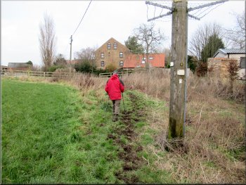
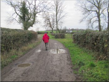
Heading towards Thirkleby Mill on Mill Lane
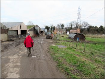
We continued along the muddy access track past a series of farm buildings and animal sheds on our left and Thirkleby Beck away to our right. |
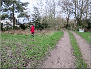
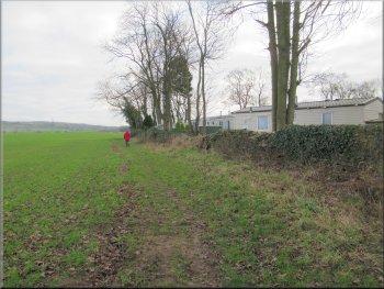
We walked along Mill Lane out of the village. We passed Thirkleby House on our right and after about 800m along Mill Lane we came to the complex of farm buildings and a few houses at Thirkleby Mill.
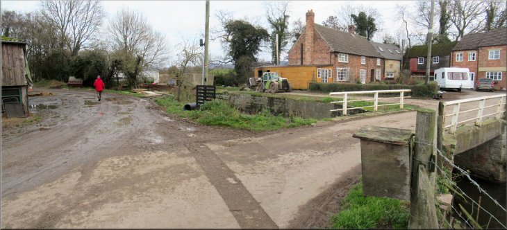
Thirkleby Mill on Mill Lane
|
Following the bridleway between Thirkleby Mill and Thirkleby Beck
|
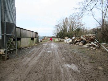
Passing the heaps of rubbish as we left Thirkleby Mill
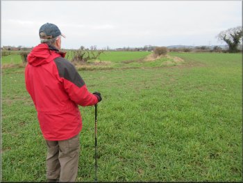
We continued following a bridleway along the access track to the entrance to Balk Grange (map ref. SE 477 799). Here we turned left along the edge of the field to walk around the southern boundary of Balk Grange. After about 130m we turned right to walk along the western boundary of Balk Grange. |
We past an access bridge over the beck to some houses and continued along the muddy track past more animal sheds and heaps of builders' rubbish, not a very pleasant part of the walk.
Our left turn at the entrance to Balk Grange
|
Our right turn around the site of Balk Grange
|
Walking along the western side of Balk Grange
We followed the hoof prints along the bridleway
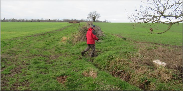
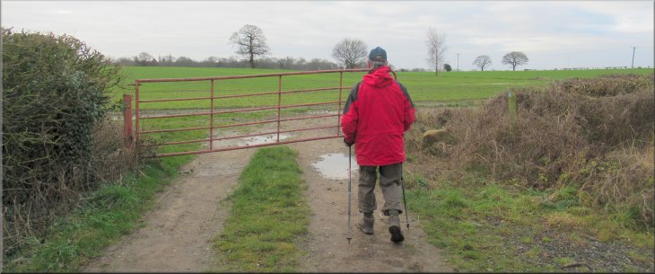
We followed the bridleway through a gap in the hedge and walked alongside a hedge on our right for about 50m. Here at a corner in the hedge we again followed the horse hoof prints across the cereal crop, past Thistle Hill about 150m away to our left. We continued to a bridleway gate in the hedge at the far side of the field. |
From the northwest corner of the grange site the bridleway headed roughly northwards across a field with a growing crop of winter cereals. The bridleway was clearly used and we followed the horses hoof prints to the hedge on the opposite side of the field.
Our bridleway goes through the gap in the hedge ahead
Nearing the bridleway gate in the hedge ahead
|
Bridleway gate leading towards the road at Balk
|
Bridleway near the road at Balk
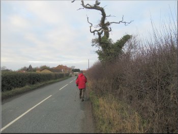
The road from Balk to Bagby
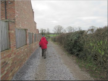
Access track from the road at Bagby towards the fields
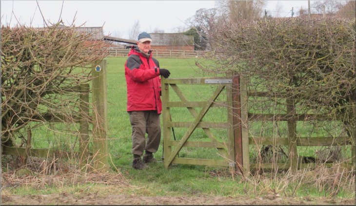
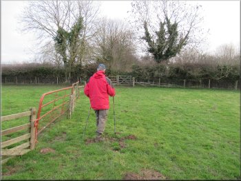
We had to keep stopping to allow the traffic to pass. As we reached the edge of Bagby the road bent to our right and near the start of the bend (map ref. SE 468806) we turned left off the road to walk along a bridleway on an access track between the houses for about 200m to a gate into the fields. |
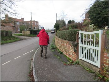
Through the gate we followed the bridleway with a hedge on our right, out to the road at the edge of the village of Balk. At the road we turned left and walked along the road for about 700m to the edge of Bagby. The road turned out to be quite busy with not much of a verge to walk on.
We turned left on to the road at Balk
Our left turn off the road at Bagby
Access track from the road at Bagby towards the fields
|
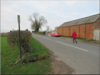
Gate to the fields on the access track from Bagby
|
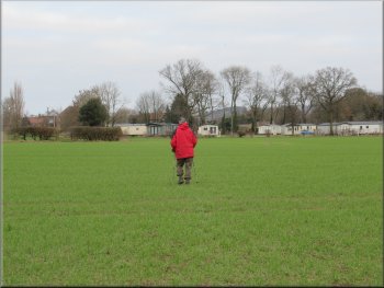
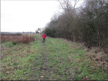
Bridleway between the fields heading back towards Thirkleby
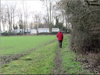
Bridleway at the field edge next to Thirkleby Hall caravan site
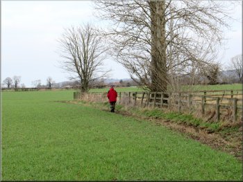
We followed the bridleway up a gentle slope for about 650m to the corner of some woodland. We continued along the bridleway at the edge of the fields around the woodland, past the caravan site in the woodland at Thirkleby Hall. |
Through the gate we turned right along the field edge of about 50m and then turned left following the bridleway between the fields.
Bridleway at the field edge next to Pond Wood
Bridleway at the field edge next to Thirkleby Hall caravan site
|
Bridleway gate on to the fenced woodland track
|
Emerging from the woodland to the open fields
Heading for the bridleway gate ahead onto Mill Lane
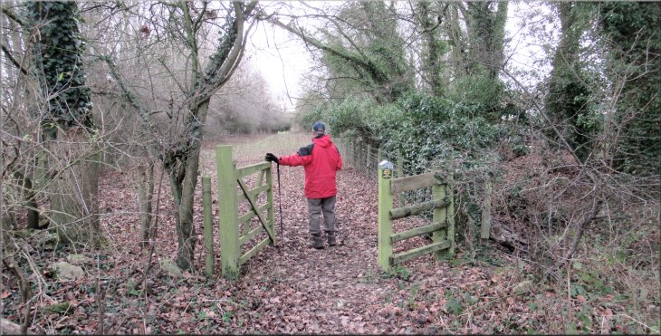
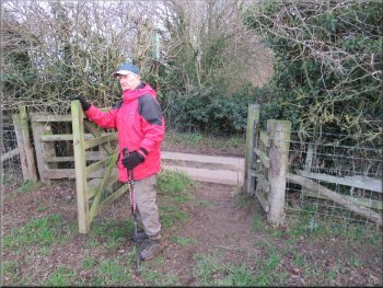
We continued along the bridleway at the edge of the field and through a gap in the fence to the next field at map ref. SE 475 790. Here we turned left and walked towards the road with the fence on our left. At the edge of the field we passed through a bridleway gate back onto Mill Lane at Thirkleby. |
Near the end of the caravan site we passed through a bridleway gate on to a fenced track through woodland for about 200m. From the woodland the bridleway emerged into the open fields.
We turned left through the gateway in the fence ahead
|
Mill Lane heading back into Thirkleby
|
Mill Lane heading for the junction with Long Causeway
The whole route had been just 5km and it had taken us almost two hours to walk. It had been a pleasant enough walk apart from the track around Thirkleby Mill and the busy road between Balk and Bagby. |
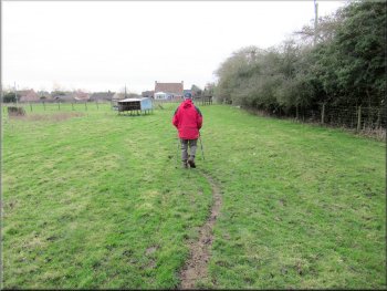
At Mill Lane we turned right and walked back along Mill Lane to the junction with Long Causeway in Thirkleby. At the junction we turned right and walked along Long Causeway back to our parking spot at the edge of the village and the end of our walk.
Turning onto Long Causeway from Mill Lane
|
Our parking spot on Long Causeway at the end of our walk
|