|
2001 walks |
2002
walks |
2003 walks |
2004
walks |
|
2005 walks |
2006
walks |
2007 walks |
2008
walks |
|
2009 walks |
2010
walks |
2011 walks |
2012 walks |
|
2013 walks |
2014 walks |
2015 walks |
2016 walks |
|
2017 walks |
2018 walks |
2019 walks |
2020 walks |
|
2021 walks |
1993-2000 library |
Find a Route Index |
|
A few Routes to print out |
Request a Route... |
Route No. 747 - Tuesday 30 October 2018
Terrington, Mowthorpe Lane, Mowthorpe Dale,
Sleigh Lane, Ganthorpe, Broats Lane circuit - 7km
Howardian Hills . . .
Route map from Ordnance Survey
Open Space service.
Map: OS Explorer 300 Howardian Hills & Malton
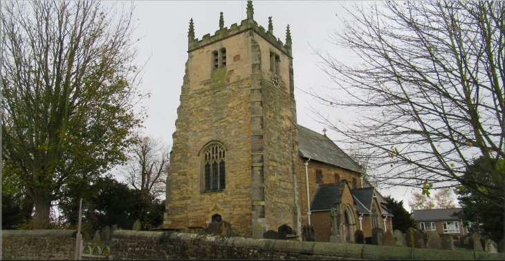
All Saints Church on Church Lane, Terrington
|

|
|
Walking down Church Lane to the main road through Terrington
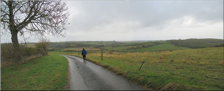
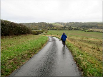
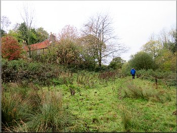
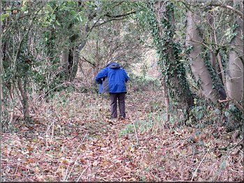
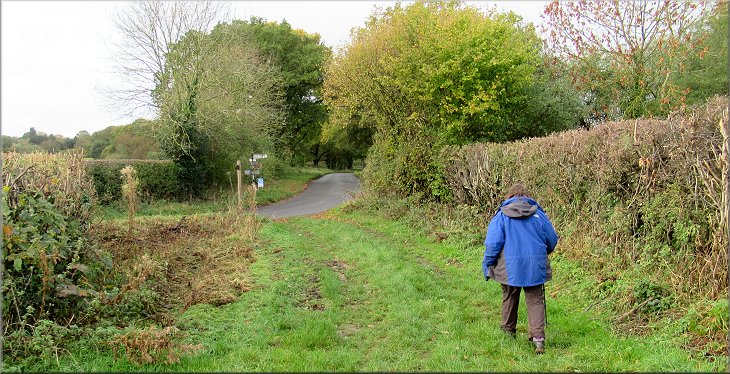
Setting out along Mowthorpe Lane
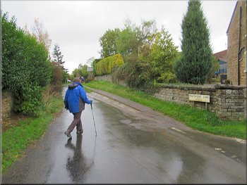
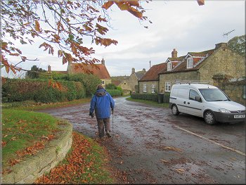
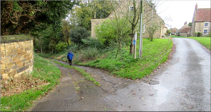
We walked south down Church Lane to the main road through the village. We crossed the main road to Mowthorpe Lane opposite still following the route of the Centenary Way. We followed Mowthorpe Lane out of the village past the village hall with its large car park on our right. A few hundred metres beyond the village hall we passed the village cemetery on our right and continued along Mowthorpe Lane. |
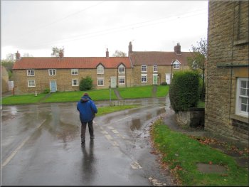
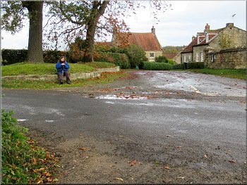
This morning my wife & I drove to Terrington, a village in the Howardian Hills north of Sheriff Hutton. We parked on the roadside in Church Lane next to the wall of the churchyard at map ref. SE 672 708. The weather was a bit gloomy with some light drizzle but, as forecast, it cleared throughout the morning to give some sunny spells. The route of the Centenary Way passes along Church Lane past our parking spot.
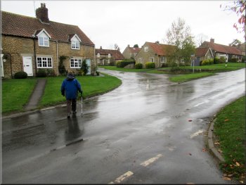
Crossing the main road to Mowthorpe Lane opposite
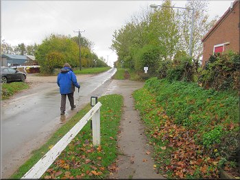
Passing the village hall on the right of Mowthorpe Lane
|
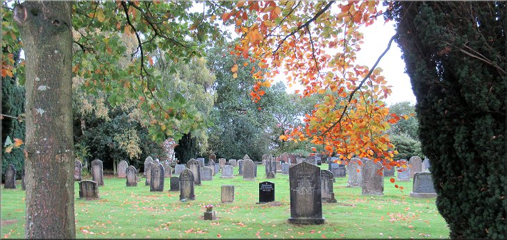
The cemetery on the right of Mowthorpe Lane about 300m beyond the village hall
|
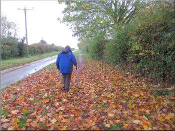
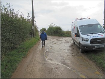
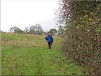
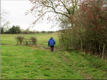
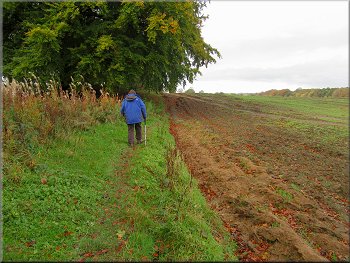
Mowthorpe Lane heading away from Terrington
The farm access road to Low Mowthorpe Farm
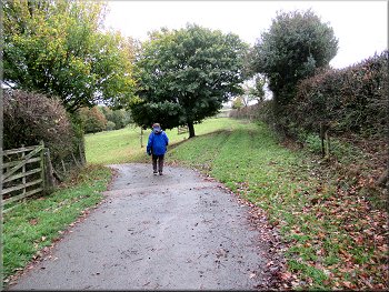
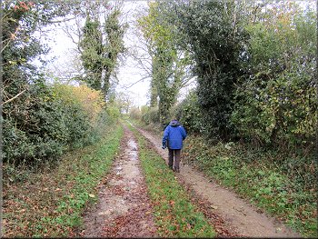
We followed the bridleway along the farm access road down into Mowthorpe Dale. As we approached Low Mowthorpe Farm there were farm buildings on the left of the track and the farm House ahead of us on the right. Just before we reached the farm house we turned right along a track by the side of the farm house that leads to the fishing ponds in Mowthorpe Dale. |
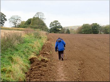
About 1.4km from the main road in the village we came to the end of the surfaced public road. From here we continued following a bridleway along the farm access road heading towards Low Mowthorpe Farm. The road began to drop down towards Low Mowthorpe Farm with a lovely view, in spite of the gloomy weather, across the Howardian Hills south east towards Bulmer.
Reaching the end of the public road
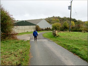
Dropping down past the farm buildings
|
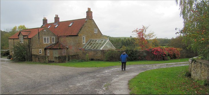
Turning right just before the farm house at Low Mowthorpe Farm
|
Weather vane on the farm buildings at Low Mowthorpe
Centenary Way straight on, we turned left on the access road
Path not clear at first but stays at the bottom of the slope
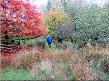
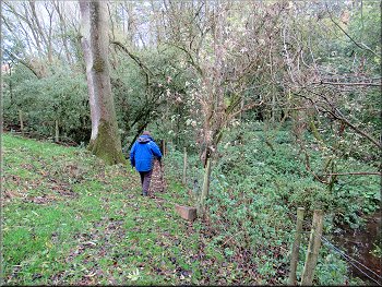
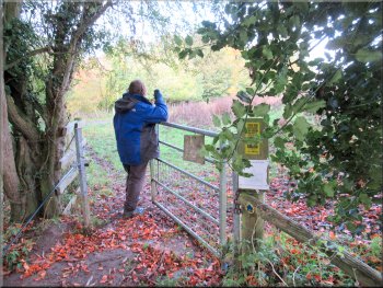
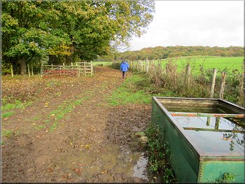
(Note: some time ago the public footpath was diverted away from the farm house on to its present route). At the start the path is not very clear on the ground but it stays at the bottom of the slope with the farm house above at the top of the slope. After about 150m We came to a pedestrian gate into some woodland. |
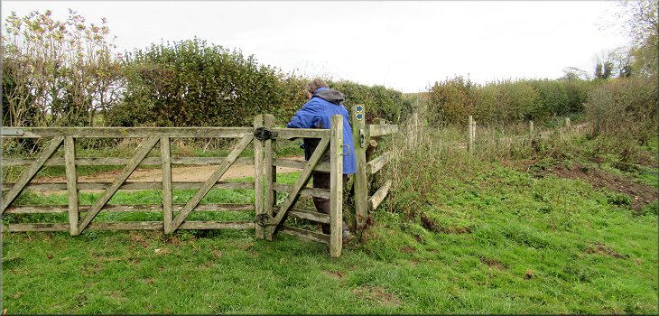
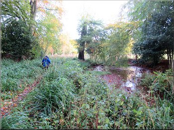
We passed through a gate where day fishing tickets are for sale. About 50m beyond the gate the Centenary Way kept straight on along a grassy track, but we followed the surfaced track around a left hand bend down towards the fishing ponds. About 60m past the bend in the track we turned left off the track and went through a pedestrian gate to follow a public footpath heading up Mowthorpe Dale.
Gate where day fishing tickets are available
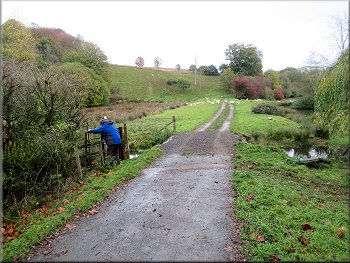
Turning left off the access road on to the path up Mowthorpe Dale
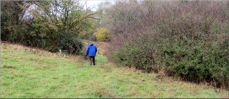
Following the fence to the gate to the wood in the corner
|
Gate from the field path into the wood
|
Bridge over a stream to the gate out of the wood
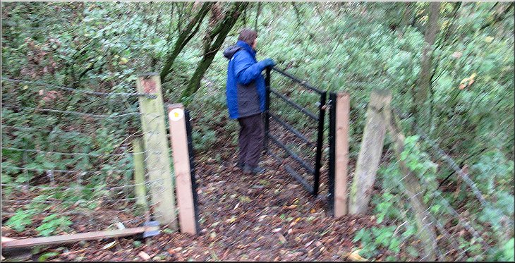
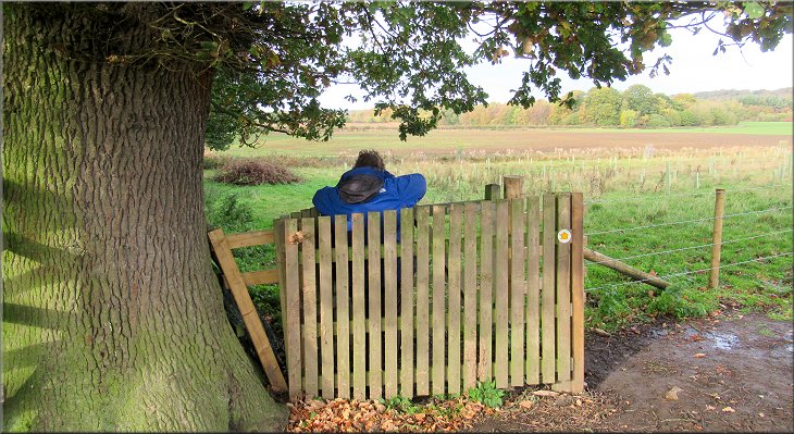
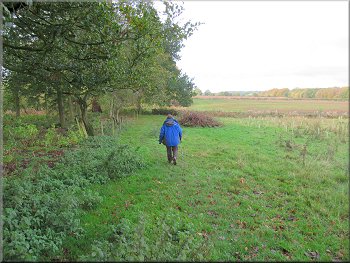
On our right there was more woodland. At the top of the slope there was a pedestrian gate through the fence on our left. Through the gate we continued along the edge of the field with woodland on our right. |
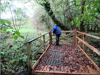
We followed a narrow path through the woodland to a wide wooden bridge over a small stream with a wooden gate at it's end. Through this gate there was a muddy path climbing up the hillside ahead next to a wooden post & rail fence on our left and grassland beyond.
At the top of the slope we went through the gate to this path
|
At the end of the field we followed the path through this wide gap in the hedge
|
Path through this rough grassland full of weeds
We continued along the field edge and ignored this gate
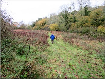
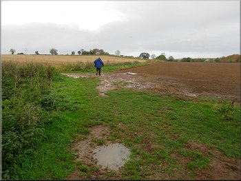
About 150m after we had passed the house on our left we passed a gate to a footpath on our right. We ignored this path and continued along the footpath by the edge of the field for another 500m to a gate on to Sleigh Lane. The path up Mowthorpe Dale had been quite muddy and awkward in places but Sleigh Lane provided much easier going along this farm access track. |
At the end of the field there was a wide gap in the hedge and we followed the path through this gap and across the next field where the grass was full of the tall dried tops of tall weeds. At the far end of this field we passed a stone built house above the field on our left. We continued along the footpath with the hedge & fence on our right.
Passing this isolated house above the path
Heading for Sleigh Lane at the top of the next field
|
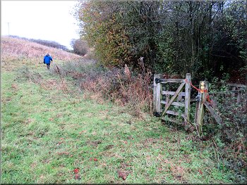
Gate from the field path on to Sleigh Lane
|
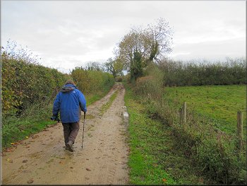
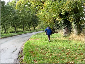
Following Sleigh Lane to Ganthorpe
We stopped for a drink at the road junction in Ganthorpe
The lane into Ganthorpe from the road junction
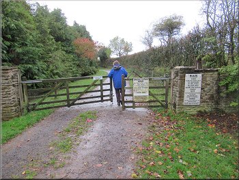
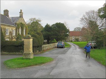
From the Bulmer/Terrington road through Ganthorpe, we followed the lane northeast into Ganthorpe village. After about 100m at a finger post sign we turned left following a bridleway down a track leading generally northwards out of the village. |
After about 300m we came to the road at Ganthorpe. At the road junction in Ganthorpe there is a low stone wall around a grassy bank where we sat for a drink.
Following Sleigh Lane to Ganthorpe

Following the lane into Ganthorpe
|
We turned left off the lane in Ganthorpe to follow a public footpath down this access track
|
|
Passing the first of several small ponds
Gate to the field from the wood by the ponds
At the northern corner of this woodland (map ref. SE 691 707) we turned left off the bridleway to follow a public footpath heading westwards along the edge of a field next to the woodland. |
We followed the bridleway past several small, pretty ponds surrounded by trees. From these ponds we passed through a gate and continued along the edge of a field and along a wide track past the end of a block of woodland on our left.
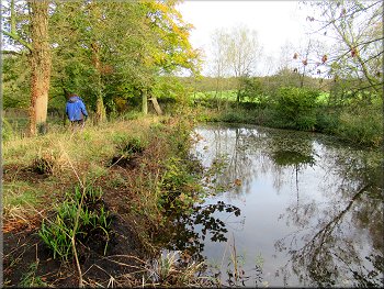
Another pretty pond by the path
Following the wide track along the end of a block of woodland
|
Our left turn along the field edge by the side of the block of woodland
|
Path along the field edge next to the woodland
Continuing across the next field from the corner of the wood
Following the path towards Broats Lane
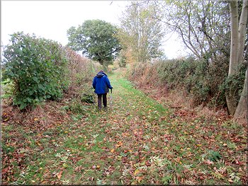
There was a wide strip of un-ploughed land next to the hedge but it was so heavily overgrown that no-one could walk along it. Near the end of this field a clear path started along the field edge and this soon led us to a wide grassy lane called Broats Lane. We followed Broats Lane for about 250m to a road junction. |
At the end of the woodland we passed a footpath on our left and continued along the path at the edge of a large ploughed field. There was a clear path trampled along the edge of the ploughed land.
Continuing along the field edge next to the wood
Overgrown and rutted margin was too rough to walk on
Following Broats Lane to the road junction
|
Reaching the end of Broats Lane at the road junction
|
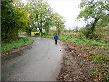
Following the road back to Terrington

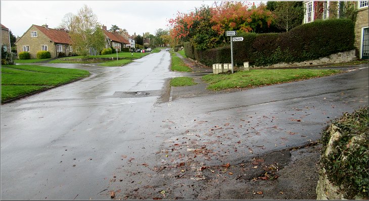
In Terrington we turned right up Church Lane and back to our parking spot at the end of our walk. The whole route had been just a little over 7km and it had taken us about two and a half hours to walk. It had been a very pleasant morning's walk. |
From the road junction we walked along the road back to Terrington. Along the way we passed a recently killed badger on the roadside and about 100m further on there were the remains of another badge clearly killed some time ago.
Following the road back to Terrington
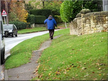
Following the road through Terrington
|
Our right turn on to Church Lane in Terrington at the end of our walk
|