|
2001 walks |
2002
walks |
2003 walks |
2004
walks |
|
2005 walks |
2006
walks |
2007 walks |
2008
walks |
|
2009 walks |
2010
walks |
2011 walks |
2012 walks |
|
2013 walks |
2014 walks |
2015 walks |
2016 walks |
|
2017 walks |
2018 walks |
2019 walks |
2020 walks |
|
2021 walks |
1993-2000 library |
Find a Route Index |
|
A few Routes to print out |
Request a Route... |
Route No. 735 - Thursday 23 August 2018
Gilling West, Hartforth, Jagger La, Gillingwood Hall,
Old Hall Lane, St. Agatha's Church circuit - 6km
Swaledale . . .
Route map from Ordnance Survey
Open Space service.
Map: OS Explorer 304 Darlington & Richmond
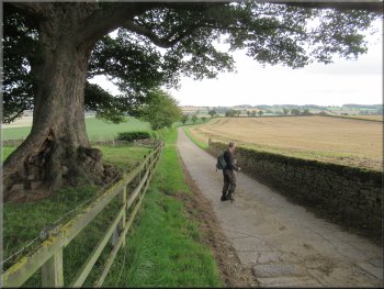
There are a few marked parking places at the entrance to St. Agatha's Church in Gilling West at map ref. NZ 183 051
|
 |
|
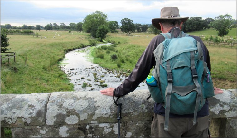
About to cross Gilling Beck next to the B6274 road bridge
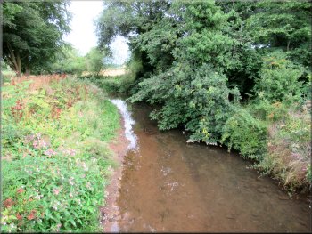
Gilling Beck seen from the footbridge
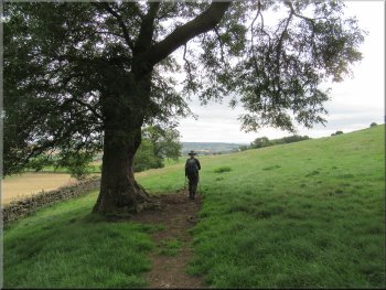
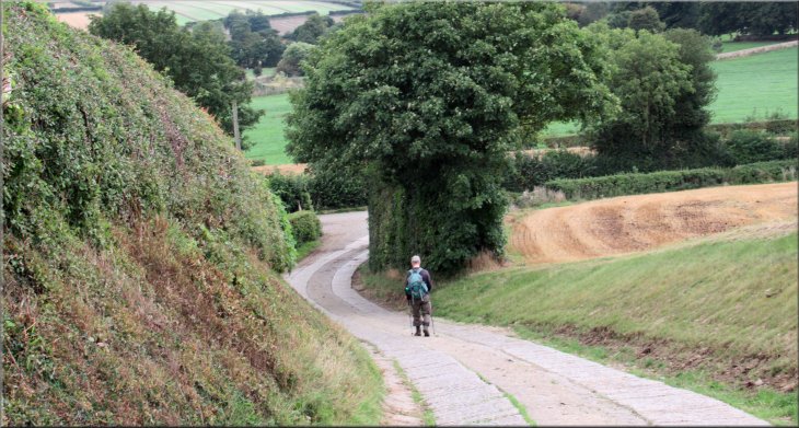
We walked along the village street (the B6274) heading in a north easterly direction towards the A66. After about 150m we crossed the bridge over Gilling Beck (called 'Gilling Bridge') and a few metres further on we turned left off the road through a wooden kissing gate to follow a public footpath heading for Hartforth. |
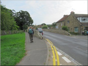
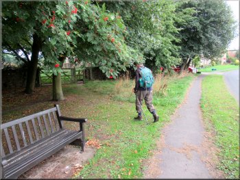
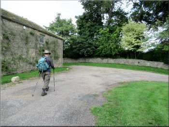
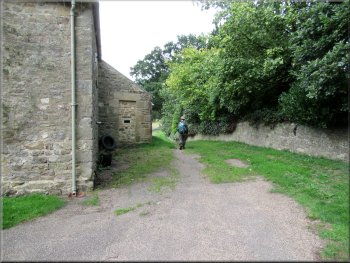
This morning my friend, Jim & I set off early and drove to Gilling West between Richmond and the A66. We parked at the entrance to St. Agatha's Church where there are a few parking spaces marked out. The weather forecast promised a fine though cloudy morning with rain setting in around lunch time. From our parking spot at the entrance to the church we set off just before 9.00am.

Footbridge next to the Gilling Bridge road bridge
Turning left off the B6274 to the field path to Hartforth
|
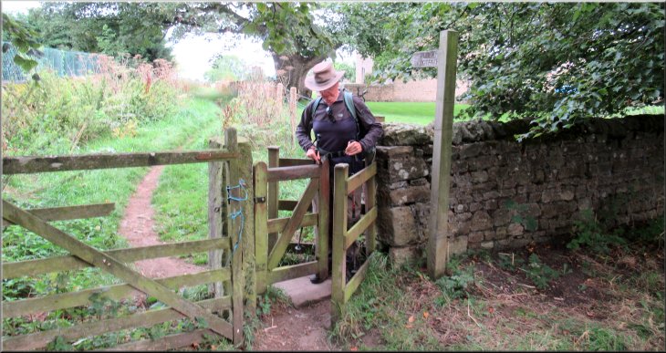
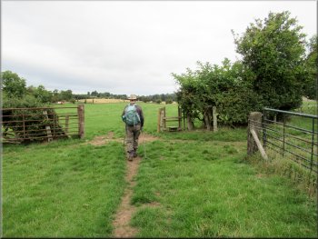
Kissing Gate off the B6274 to the field path to Hartforth
|
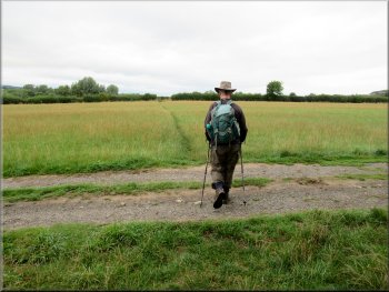
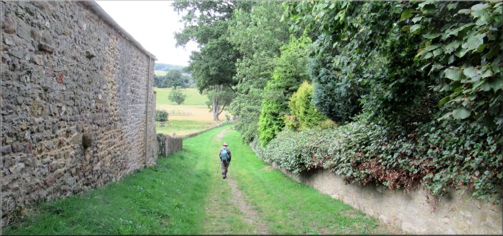
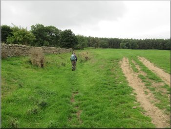
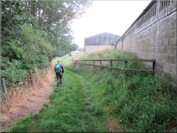
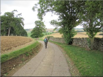
Field path from Gilling West to Hartforth
Field path from Gilling West to Hartforth
Field path from Gilling West to Hartforth
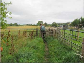
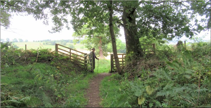
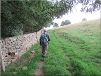
After about 1.4km from Gilling West we came to a wooden field gate with a kissing gate at the right hand side on the edge of Hartforth. |
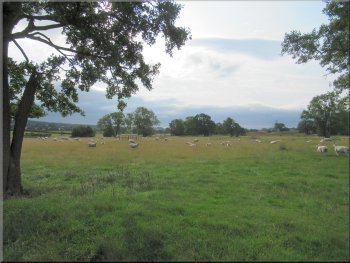
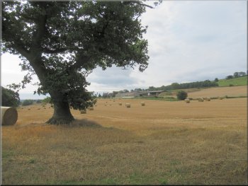
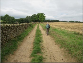
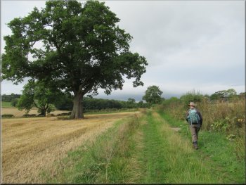
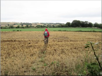
There was a clear path across the fields with good views over the stubble fields with the large round bales of straw awaiting collection.
Field path from Gilling West to Hartforth
Field path from Gilling West to Hartforth
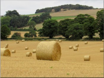
Straw bales awaiting collection from the fields near Hartforth
|
Kissing Gate to the access road at Hartforth
|
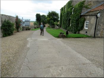
Following the access road through Hartforth
About to turn left at Home Farm in Hartforth
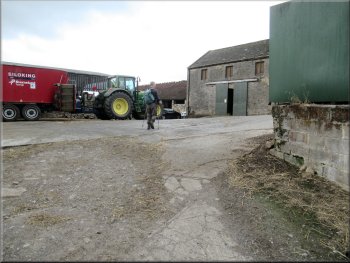
Here we turned left around the corner of a stone farm building to walk along a track down the side of Home Farm. |
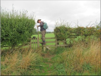
We passed through the kissing gate to the access road beyond and continued straight ahead along the access road for about 170m.
Cottages in Hartforth
Jagger Lane track leaving Hartforth
|
Jagger Lane track down the side of Home farm buildings leaving Hartforth
|
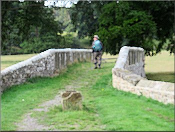
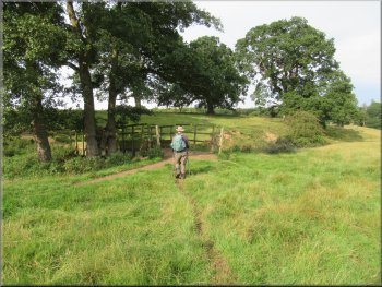
Crossing the bridge over Hartforth Beck
Following the bridleway from the bridge over Hartforth Beck
Looking towards Gilling West from Jagger Lane (path)
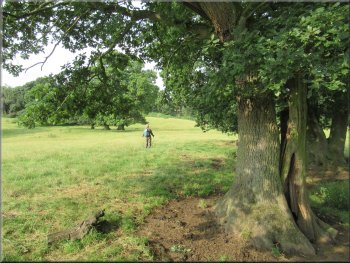
At Smelt Mill Beck we turned right and walked about 30m along the beck to a bridge over the beck. We crossed the bridge and followed the path up a steep bank past a large oak tree on our left. |
From Home Farm we followed the track down to a stone arch bridge over Hartforth Beck. We crossed the bridge and continued along the path across the field to another watercourse called Smelt Mill Beck.
Home Farm seen from the bridge over Hartforth Beck
Bridleway heading towards Smelt Mill Beck bridge
About to cross the bridge over Smelt Mill Beck
|
Looking back past this impressive oak tree to the bridge over Smelt Mill Beck
|
We crossed this wide dry ditch to the path along the other side
Entering the woods from the grassland
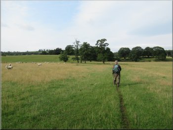
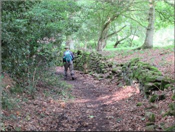
From the end of the line of trees the path continued across the grassland to some woodland. There was a wide path through the woods with a dry stone wall on our right. |
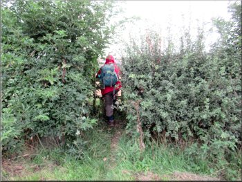
We followed the path to the edge of the field at a line of trees with a wide dry ditch next to them. As we continued up the line of trees the path crossed the ditch and continued up the field on the other side of the line of trees.
Bridleway across the grassland from the line of trees
Clear track through the woods
|
Gate from the woods to a track across the fields
|
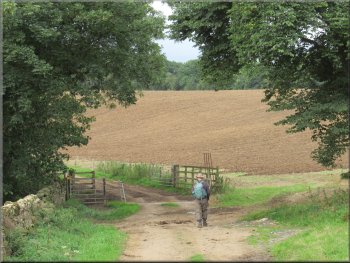
Looking across the stubble field to Crabtree House Farm
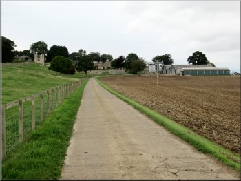
Following the farm track away from Crabtree House Farm
Following the wall up to our left turn
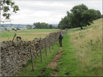
From the gateway we continued along the access track with the wall on our left now climbing towards some woodland on top of the hill ahead.
About 300m from the gateway we turned left off the track through a field gate to follow a bridleway along side a wall on our left. |
After about 150m we emerged from the woods and continued along a farm track along the edge of the field. At the end of the field the track joined the farm access track coming from Crabtree House Farm. We continued on the access track now with a wall on our left and dropping down to a left hand bend and a gateway at the bottom of the slope.
Track about to join the access track from Crabtree House Farm
Gateway at the bottom of the dip in the farm track

The field gate where we turned left
|
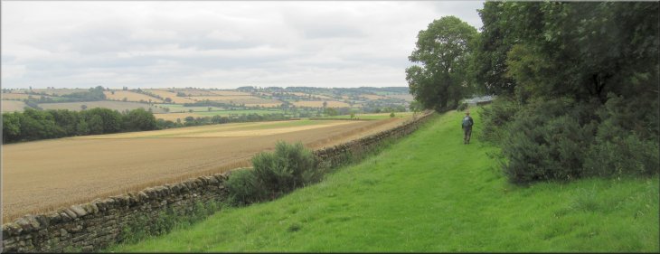
Through the field gate we followed the bridleway with the wall on our left
|
Following the bridleway still with the wall on our left
Following the bridleway now with woodland on our left
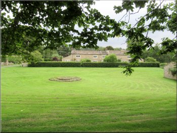
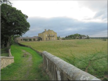
Passing through Gillingwood Hall farm
We continued along the route of the bridleway between the farm buildings and out past the farm house. Here there was a very vocal black labrador running loose. It seemed to know its boundaries and it did not venture onto the farm access road as we passed by and continued along the farm access road away from the farm house. |
After about 500m along the bridleway we came to some more woodland. Here the path turned up hill around the edge of the woodland. After about 400m around the edge of the woodland we came to the farm buildings at Gillingwood Hall farm.
Following the bridleway still with the wall on our left
The bridleway led us to Gillingwood Hall farm
Passing the farm house with a vocal black labrador
|
Leaving Gillingwood Hall farm with remnants of the old hall on our right
|
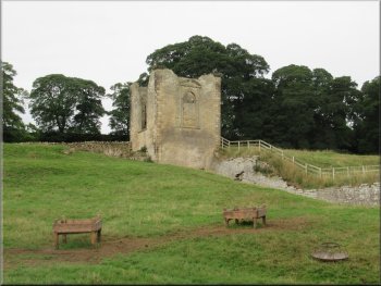
A small remnant of the old Gillingwood Hall
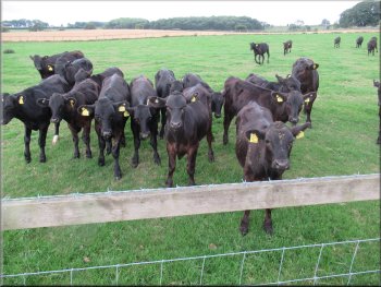
These calves all galloped over to see us
Following Old Hall Lane away from the farm
Here, at the end of the field, the access road made a sharp left turn around the end of the field. The farm access road here is called Old Hall Lane. We walked along Old Hall Lane to it's junction with Waters Lane at map ref. NZ 178 050. |
On the left hand side of the access road there were the remains of the old Gillingwood Hall built in the early 1600's for the Wharton family. We walked along the farm access road for about 400m from the farm house.
Looking back to Gillingwood Hall farm
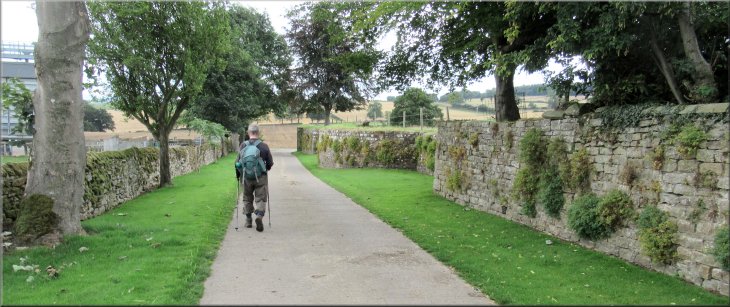
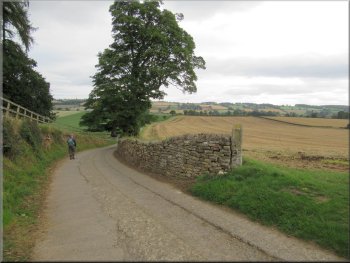
Following Old Hall Lane away from the farm
Following Old Hall Lane away from the farm
|
Following Old Hall Lane down the hill to the junction with Waters Lane at the bottom
|
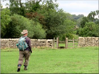
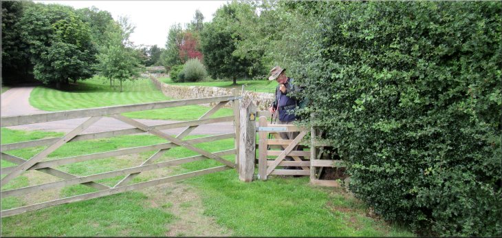
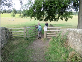
Overgrown stile off Waters Lane
Kissing gate into the churchyard
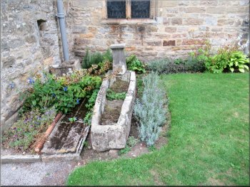
Stone coffin by the path
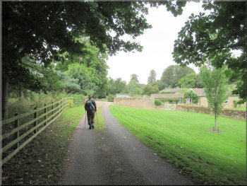
At the main street we turned right back to our parking spot at the church entrance on the B6274 in Gilling West at the end of our walk. The whole route had been 6km and it had taken us around two hours to walk it. Not long after we set off for the drive home the rain began. The forecasters had been right and we had had a very pleasant little walk ahead of the rain. |
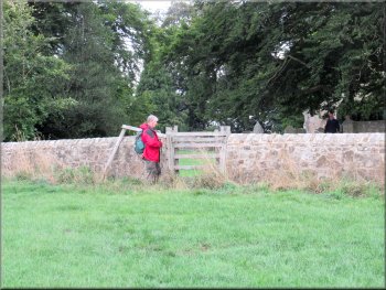
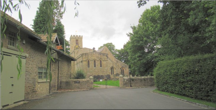
At the junction we crossed Waters Lane to a stile hidden in an overgrown gap in the hedge. Over the stile we followed a footpath across the fields for about 300m to a kissing gate into the graveyard at St. Agatha's Church. We walked along the path through the churchyard and out of the iron gates to the drive from the church out to the main street in Gilling West.
Path across the fields from waters Lane to the churchyard
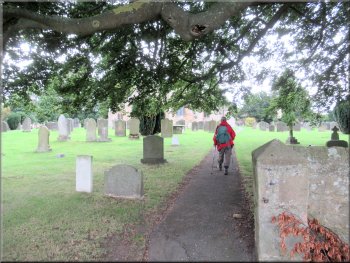
Walking through the churchyard
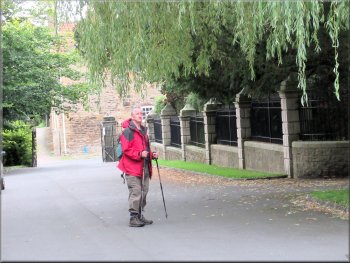
The drive way from the church to the B6274
|
Looking back along the drive way to St. Agatha's church
|