|
2001 walks |
2002
walks |
2003 walks |
2004
walks |
|
2005 walks |
2006
walks |
2007 walks |
2008
walks |
|
2009 walks |
2010
walks |
2011 walks |
2012 walks |
|
2013 walks |
2014 walks |
2015 walks |
2016 walks |
|
2017 walks |
2018 walks |
2019 walks |
2020 walks |
|
2021 walks |
1993-2000 library |
Find a Route Index |
|
A few Routes to print out |
Request a Route... |
Route No. 732 - Tuesday 7 August 2018
Thornton-le-Dale, South Lane, Outgang Lane,
Thornton Beck, Ellerburn, Thornton Mill circuit
5km - North York Moors . . .
Route map from Ordnance Survey
Open Space service.
Map: OS Explorer OL27 North York Moors Eastern area

|
|
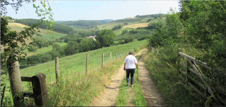
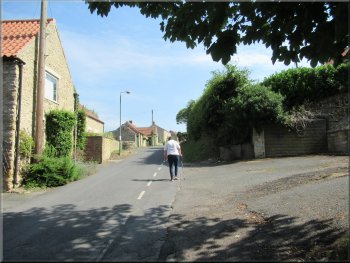
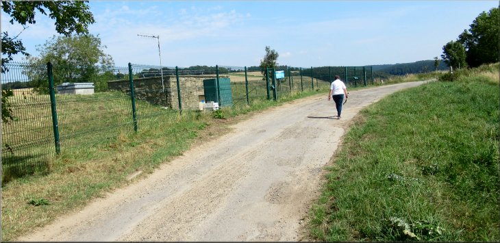
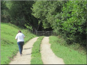
Setting off along a footpath off the car park access road at Thornton-le-Dale
|
|
Public footpath along the southern edge of the car park

Footpath from the car park towards Dog Bark Lane
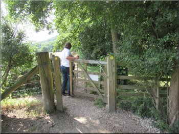
At the southern edge of the car park we turned left along a public footpath through the trees between the car park and the show ground. It was a very pretty path with a very large sycamore tree that I guess must have been around 200 years old. |
Another fine hot sunny day. My wife and I drove out to Thornton-le-Dale on the A170 about 3km east of Pickering. We parked in the large 'Pay-and-Display' car park at map ref. SE 836 830. It is the Thornton-le-Dale annual agricultural show tomorrow (Wednesday 8 August 2018) and the show ground next to the car park was being prepared for this big event. From our parking place we walked back along the car park access road and at the southern edge of the car park
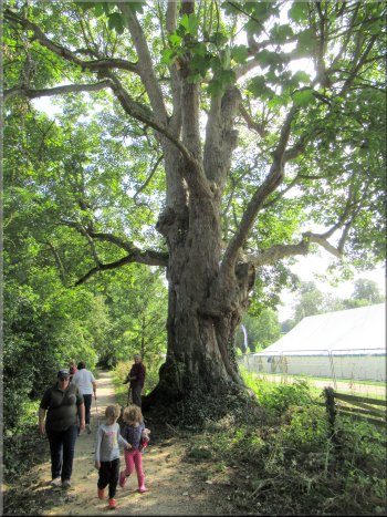
Lovely old sycamore tree by the path
|
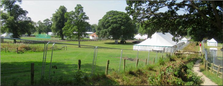
Looking back across the show ground being prepared for tomorrow's (8/8/18) annual show
|
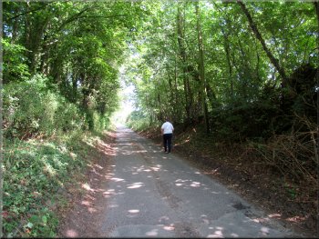
Woodland path to Dog Bark Lane
Crossing Dog Bark Lane to Rectory Lane
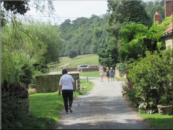
After about 100m Rectory Lane turned to our left and we continued straight ahead along South Lane, a quiet residential road. We walked along South Lane for about 350m to its end at a 'T'-junction. |
We followed the path through a small patch of woodland and came out onto Dog Bark Lane. We crossed Dog Bark Lane and walked along Rectory Lane directly opposite.
Woodland path to Dog Bark Lane
Walking up South Lane
|
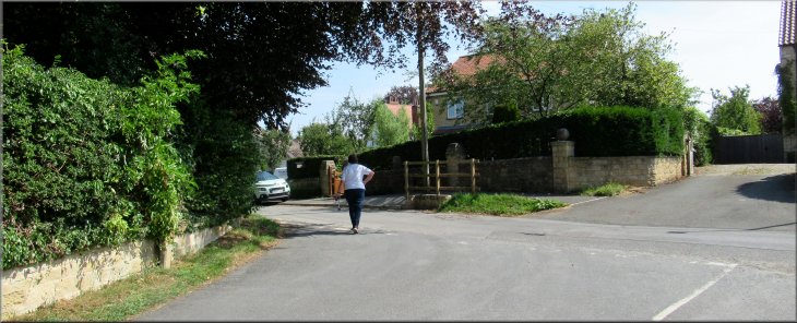
Turning left at the end of South Lane towards the main road, A170
|
Heading to the A170 from the end of South Lane
The start of Outgang Lane still going up hill
Following Outgang Lane up to the service reservoir
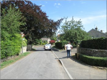
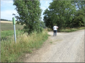
Our route had been gently climbing ever since we left the car park and we continued uphill along Outgang Lane. After about 200m there was a fork in the road. The left hand fork just goes to a car park at some open land, but we continued along the right hand fork for another 500m. |
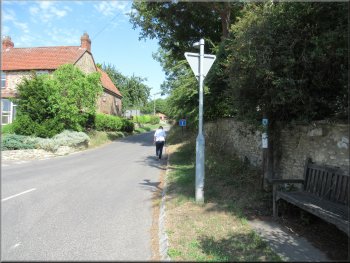
At the junction we turned left and walked about 70m to the junction with the High Street (A170). We crossed the busy main road and walked along Outgang Lane opposite.
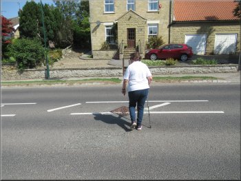
Crossing the A170 to Outgang Lane
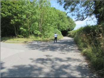
At this fork we kept straight on
Nearing the service reservoir along Outgang Lane
|
Passing the service reservoir on Outgang Lane
|
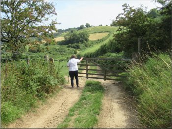
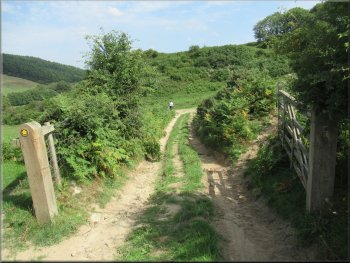
Left turn off Outgang Lane to a track down into Thornton Dale
Continuing along the track at the top of the fields
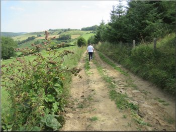
We followed the track down through the trees and through a gateway to continue along the top edge of the fields. There was a lovely view up Thornton Dale from the track. |
Here there was a right hand bend in the road with a service reservoir on the left of the road. A few metres further on we turned left along a farm access track through the trees heading down into Thornton Dale.
Tree lined start of the track into Thornton Dale
Track along the top edge of the fields
|
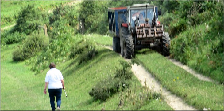
We gave the tractor the right of way along the track
|
We turned left at the end of this track at the field edge
We turned left along the track at the bottom of the field
Heading for the end of the field
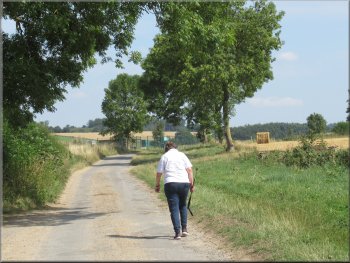
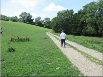
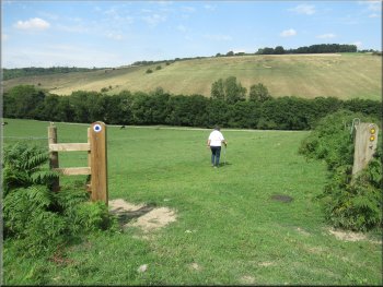
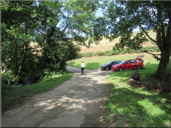
There was a feint vehicle track along the bridleway route which we followed to the bottom edge of the field next to Thornton Beck. At this track we turned left and walked along the track now heading downstream with Thornton Beck on our right. At the end of the field we passed through a field gate and from here the track was between hedges. |
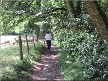
We passed through another field gate across the track and into a large field. At the bottom of the slope to our left there was another farm track and just beyond the track there was a belt of trees along the course of Thornton Beck. We continued along our track at the top edge of the field. A farm tractor and trailer came up the track so we had to move off the track into the field to let it pass. We continued to the end of the field where there was a new timber gate post on our left and a public bridleway sign.
Our left turn along the bridleway sign
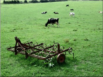
A type of harrow by the path
Through the gate we followed the access road towards Ellerburn
|
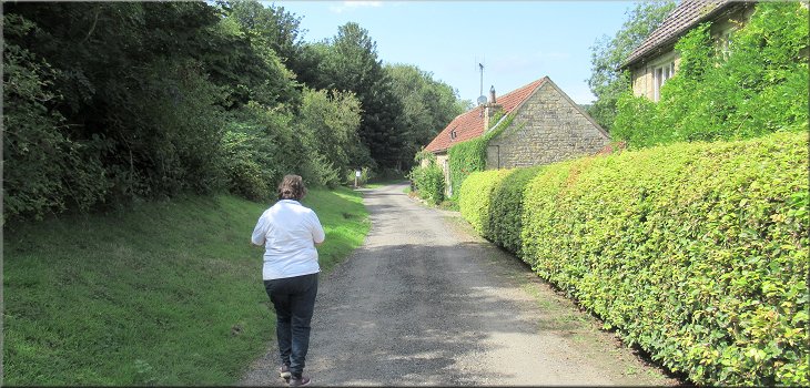
Following the access road towards Ellerburn
|
Following the access road towards Ellerburn
The access road in Ellerburn
There were people sunbathing and children playing in the beck on this lovely summer day. We were now in the sparse settlement of Ellerburn and we came to a sign advertising 'The Tea Cosy' cafe in Ellerburn. It was now 1.00pm so we called in and had a very pleasant light lunch in the cool of the cafe before continuing along our way. |
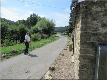
There were a few properties along the road side and the track was now the access road to the properties. We followed the access road across Thornton Beck and continued downstream on the other side of the beck. There was a caravan and camping site on the other side of the beck.
Following the access road towards Ellerburn
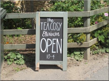
The Tea Cosy Cafe where we stopped for lunch
|
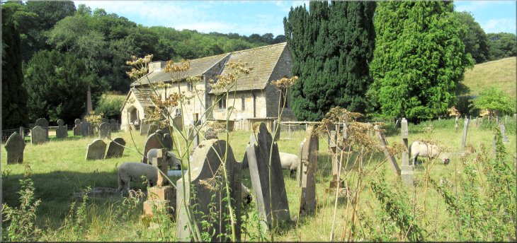
The church of St. Hilda at Ellerburn dating from 1050AD
|
Leaving the Tea Cosy cafe
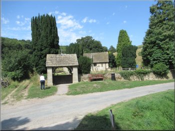
Church entrance opposite our turning
We followed a public footpath through the farm yard alongside the beck. We turned right along the path between the farm buildings and the beck, then through a pedestrian gate into the fields.
|
Just beyond the cafe we came to Ellerburn Church on our right and opposite the church entrance there was a concrete access bridge into Low Farm. We turned left here off the road and across the bridge
Nearing our left turn opposite the church entrance
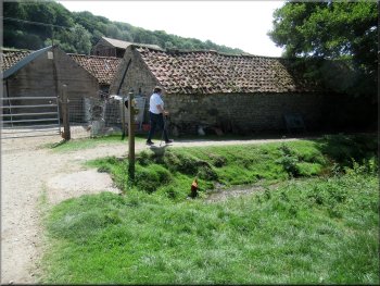
The path through Low Farm
|
Path to the fields between the farm buildings and Thornton Beck
|
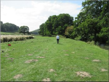
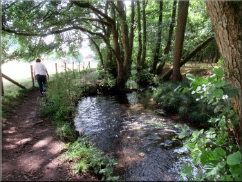
Field path next to Thornton Beck
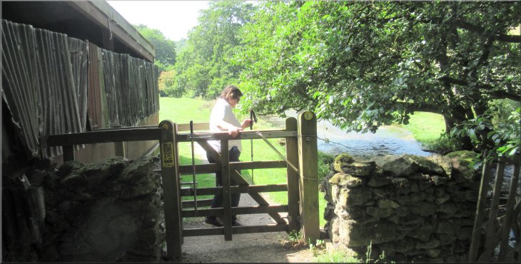
Gate to the fenced path by Thornton Beck
Path by Thornton Beck nearing Thornton Mill
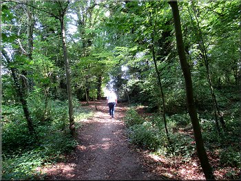
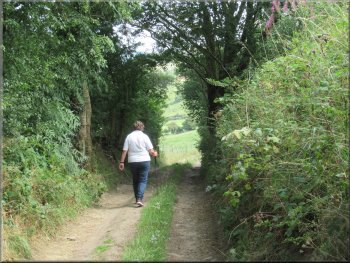
As we approached Thornton Mill we continued along the path now between tall beech hedges. We followed the path (there's nowhere else to go) between the properties at Thornton Mill out to the road. |
We continued along the footpath following the beck downstream. About 300m from the farm buildings we came to a pedestrian gate where the path continued in a fenced strip alongside the beck.
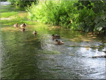
Ducks on Thornton Beck
The fenced path by Thornton Beck
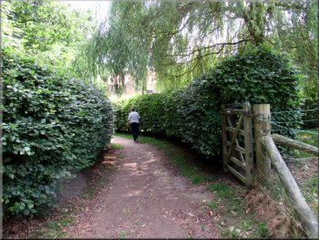
Path between tall beech hedges at Thornton Mill
|
We turned left on to the road next to Thornton Mill
|
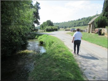
Walking along the road next to Thornton Beck
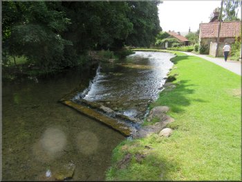
Weir on Thornton Beck
The footbridge led us to a footpath and grassy strip by the beck passing in front of pretty cottages leading to Thornton Bridge over the beck at the main road (A170). |
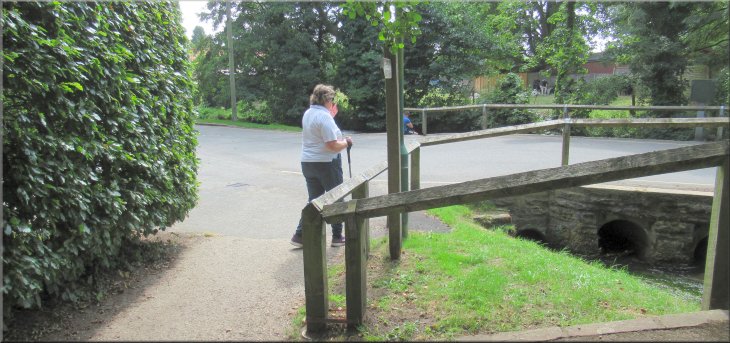
At the road we turned left and walked along the road with the beck on the right hand side of the road. After a little over 200m we came to a wooden footbridge over the beck.
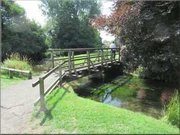
Footbridge over Thornton Beck

Path between the beck & the cottages
|
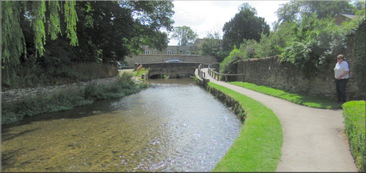
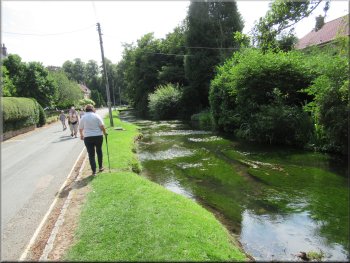
Looking along Thornton Beck to Thornton Bridge at the A170
|
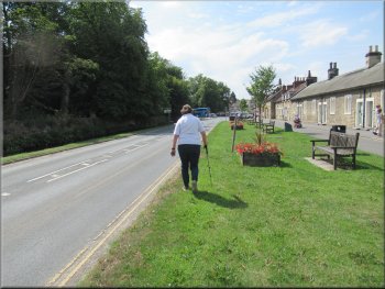
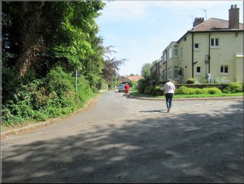
Walking along the A170 to the centre of Thornton-le-Dale
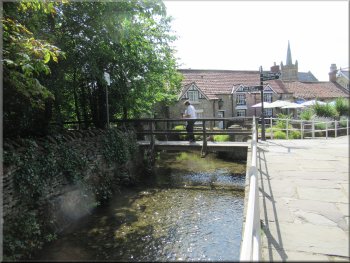
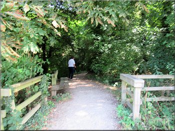
Crossing the footbridge over Thornton Beck
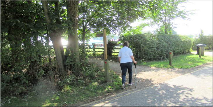
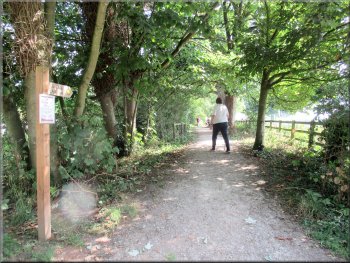
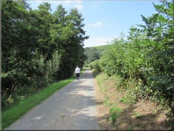
This led us to a footpath through some woodland, past a small lake on our right and public toilets on our left, back to the main car park and the end of our walk. The whole route had been only 5km and it had taken us around two and a half hours to walk including our lunch stop at the cafe. |
At the main road we turned right and walked along the road for about 200m. We had crossed the road to walk beside the beck just before we reached the cross roads in the centre of Thornton-le-Dale we turned left over a footbridge across the beck.
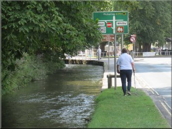
Nearing the crossroads in the centre of Thornton-le-Dale
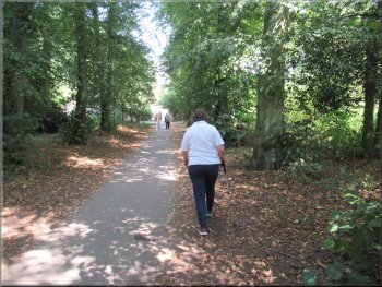
Woodland path from Thornton Beck back to the car park
|
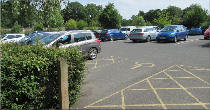
Back at the large 'Pay-&-Display' car park at the end of our walk
|