|
2001 walks |
2002
walks |
2003 walks |
2004
walks |
|
2005 walks |
2006
walks |
2007 walks |
2008
walks |
|
2009 walks |
2010
walks |
2011 walks |
2012 walks |
|
2013 walks |
2014 walks |
2015 walks |
2016 walks |
|
2017 walks |
2018 walks |
2019 walks |
2020 walks |
|
2021 walks |
1993-2000 library |
Find a Route Index |
|
A few Routes to print out |
Request a Route... |
Route No. 713 - Thursday 29 March 2018
Cropton, New Inn, Low Lane, Appleton Mill Farm,
Lower Askew, Cropton Beck, Cropton Banks,
7km circuit - North York Moors . . .
Route map from Ordnance Survey
Open Space service.
Map: OS Explorer OL27 North York Moors Eastern area
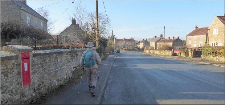
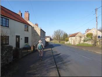
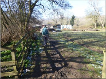
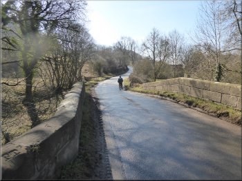
Setting off from the village hall along the High Street in Cropton
|
Walking along the High Street in Cropton
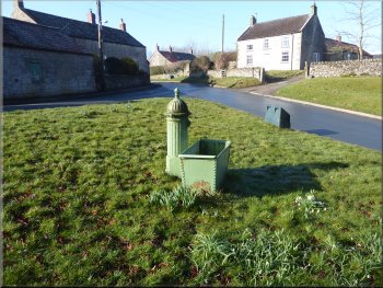
Old water trough on the green in Cropton
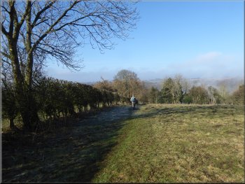
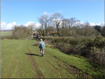
From the village hall we set off southwards walking along the village street for about 200m round a right hand bend to a small village green on our right with a very large horse chestnut tree in the middle. At the road junction we turned left heading towards the New Inn, the village pub & brewery. |
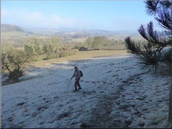
This morning was bright, clear and sunny, a fine spring day. My friend, Jim, and I drove out to the village of Cropton on the edge of the Cropton Forest on the North York Moors. We parked on the roadside next to the village hall (map ref. SE 756 890) where the village street is wide enough.
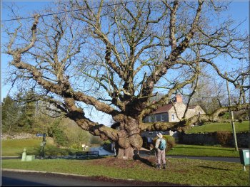
Horse chestnut Tree on the green in Cropton
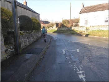
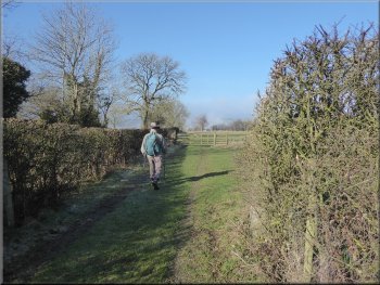
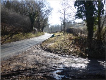
Turning left towards the New Inn on Cropton Lane
|
Turning right off Cropton Lane on to a footpath down into the valley of the River Seven
|
Following the footpath along a farm track to the fields
Path along the field edge starting to drop down into the valley
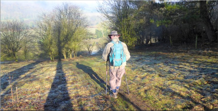
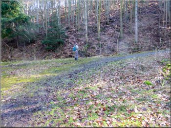
The slope became steeper and was quite muddy and awkward to negotiate. We picked our way carefully down the slippery slope for about 100m. Ahead of us the valley was filled with frosty mist but it was clearing very quickly in the morning sunshine and in the few minutes it took us to make our way down the steep part of the slope the mist had cleared completely. |
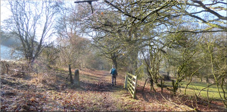
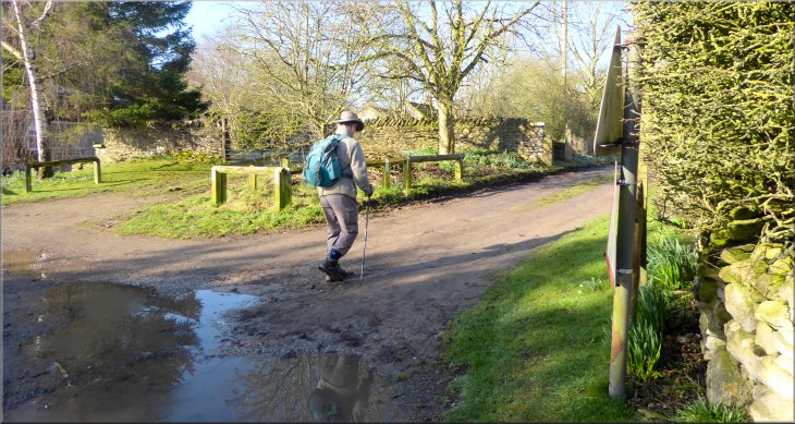
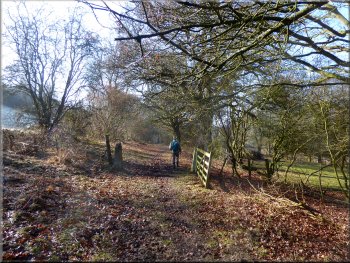
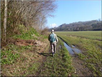
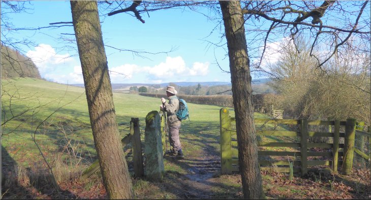
About 20m. before we reached the New Inn we turned right off the road to follow a public footpath along a fenced access track. We passed through a farm gate across the track and continued for about 100m to a second gate into the fields. We followed the path across the field next to the hedge and down the slope to a kissing gate into a narrow strip of woodland.
Nearing the gate from the track into the fields
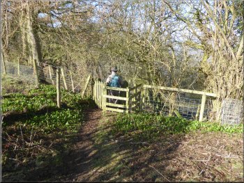
Kissing gate into a narrow strip of woodland
|
Starting down the steep slippery part of the path into the valley
|
Heading down across the field to join Low Lane

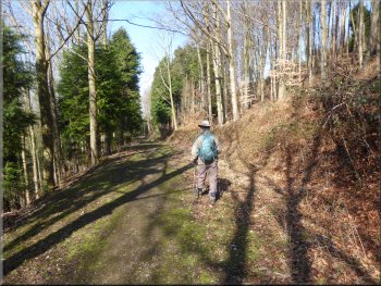
The very pleasant walk along Low Lane
The very pleasant walk along Low Lane
Heading for the footbridge over the River Seven
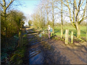
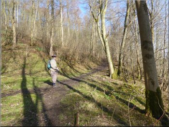
The track was very pretty in the spring sunshine, lined with mature trees. We followed Low Lane for about 1km. to map ref. SE 748 879. Here there was a wide, muddy junction in the track with a finger post set in the bank on our left. We turned right here and followed the track down to a footbridge over the River Seven near Appleton Mill Farm. |
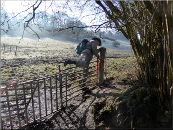
The path now was grassy and easy to walk down to the corner of the field where there was a makeshift gate which was easy to step over to join a track called Low Lane. At this lane we turned left and followed the track down the valley. This is the valley of the River Seven, the continuation of Rosedale.
Stepping over the makeshift gate to join Low Lane
The very pleasant walk along Low Lane
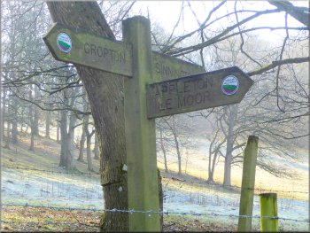
Signpost at our right turn to the footbridge over the river
Heading for the footbridge over the River Seven
|
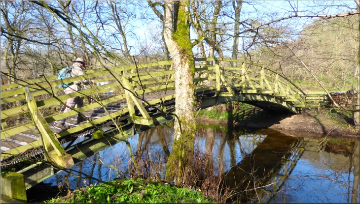
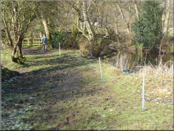
Footbridge over the River Seven near Appleton Mill Farm
|
Briefly heading towards Appleton Mill Farm
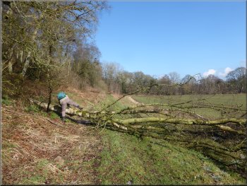
Fallen tree across the path
Turning off the wide path onto the narrow path above the river
Our path joins a wider path as we neared the end of the wood
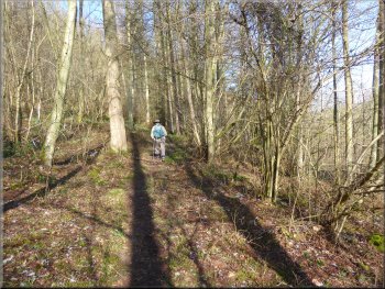
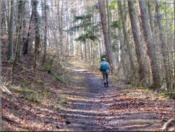
After a few metres the wider path continued straight up the hillside but we turned right along a pretty narrow path with the River Seven below us on our right. We continued along this narrow path with the steep wooded bank down to our right for about 600m to a gate into the fields at map ref. SE 744 892. |
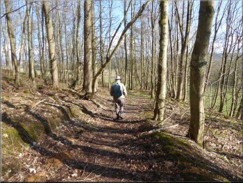
We crossed the footbridge and turned towards the farm for a few metres, then doubled back along a footpath at the edge of the field along the bottom of a wooded hillside. We followed the path along the edge of the field for about 550m, then the path began to climb gently up the hillside into the woodland.
Path from Appleton Mill Farm at the foot of the wooded bank
Path starting to climb up through the woodland
Narrow path with a steep bank down to our right
Track to the gate out of the wood
|
Gate out of the wood to the field path
|
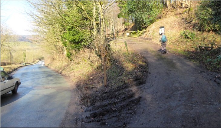
Following the field path to Lower Askew
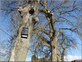
Nesting boxes and a bat box on roadside trees at Lower Askew
Following the road from Lower Askew
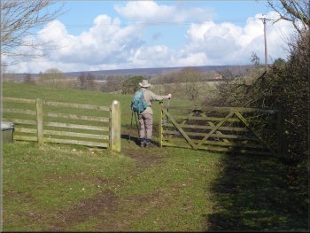
We passed along the side of Lower Askew farm on our right and then turned right along the road in front of Lower Askew farm. We continued along the road over Seven Bridge, past Beckhouse Farm to the road junction next to Cropton Beck. |
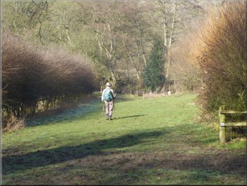
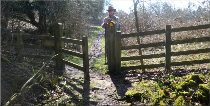
We followed the path along the edge of the fields with the hedge on our right and the wooded bank above the top edge of the fields on our left. After about 500m we came to a gate on to the road at Lower Askew. Ings Beck crosses under the road here about 150m before it joins the River Seven.
Following the field path to Lower Askew
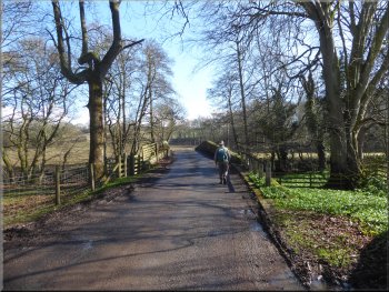
The road from Lower Askew over the Seven Bridge
Following the road from Lower Askew
|
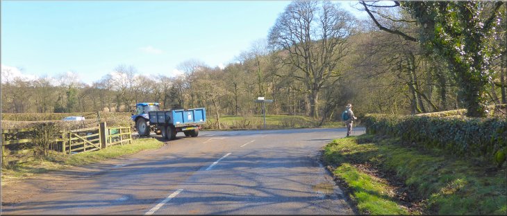
Turning right at the road junction at Cropton Bridge
|
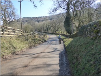
The road over Cropton Bridge heading towards Cropton village
About 500m from Cropton Bridge the road made a sharp right hand bend. Just before the bend we turned left off the road on to a track through Cropton Bank wood owned by the Woodland Trust. |
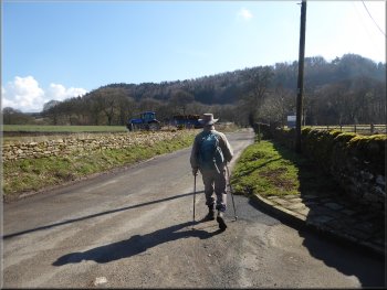
Here we turned right following the road over Cropton Bridge heading towards Cropton village. From the bridge the road began to climb up the hillside.
The road up the hill heading for Cropton village
|
Turning left off the road near the top of the hill onto a track at Cropton Banks, a Woodland Trust site
|
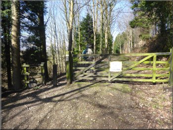
Gate on the track into Cropton Banks Wood
Turning right onto the public footpath climbing up the hillside
Here we turned sharp right to follow the public footpath up the steep hillside to the top of the bank. This steep hillside, called Hallgarth Hill, was part of the defences of Cropton Castle, a Motte & Bailey castle built by the Normans. |
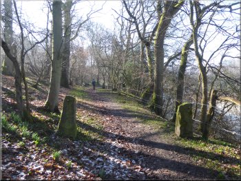
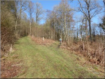
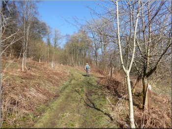
We followed the track through the wood doubling back parallel to the road but above it in the woodland. After about 200m the track bent right around the hillside. We continued along the track for another 400m from the bend to join a public footpath coming down the hillside from our right at map ref. SE 755 896.
Track through Cropton Banks Wood
Public footpath up the hillside to the Motte & Bailey castle
|
Reaching the top of Cropton Banks near the site of the Motte & Bailey castle
|
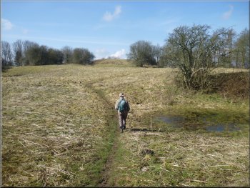
Path across the grassy plateau to the castle earthworks
The Motte would have had a tower or keep and a courtyard, the Bailey on the flattened top. We climbed to the top of the motte where there was a memorial bench with a good view out across the valley of the River Seven (lower reaches of Rosedale). |
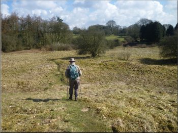
From the top of the bank we came onto a grassy plateau with the remains of the castle earthworks away to our right. We turned right to follow a footpath across the plateau to the remnants of an embankment, a ditch and then the mound or Motte.
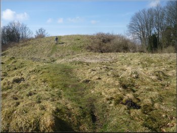
Climbing up the path to the top of the Motte
|
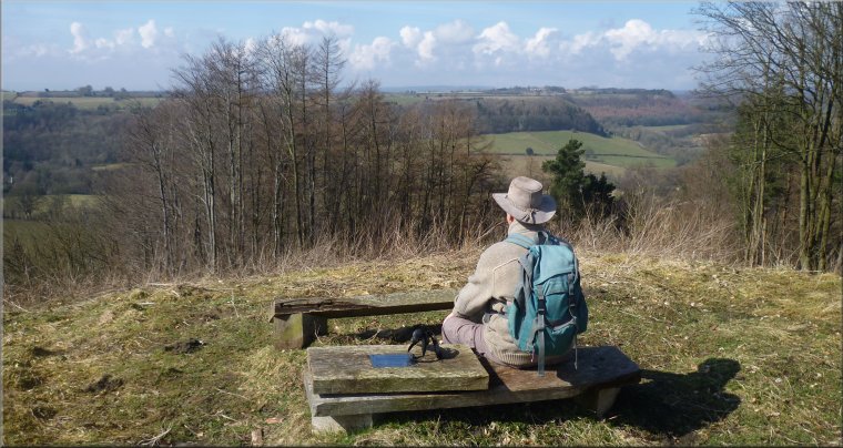
View over the River Seven valley (Lower Rosedale) from the bench seat on top of the motte
|
Heading for the church path from the castle earthworks
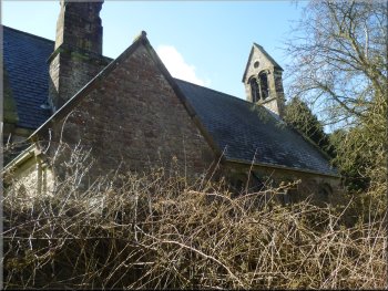
The side of the church seen from the path
At the High Street we turned right and walked about 100m along the High Street back to the car by the village hall and the end of our walk. The whole walk had been a little over 7km and it had taken us almost three hours to walk. |
Adjoining the grassy plateau was the churchyard of St. Gregory's Church and we followed the public footpath along the side of the churchyard and the church out to a narrow lane. We walked along this lane for about 100m to its end at the High Street in Cropton.
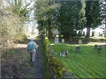
Path along the side of the churchyard and the church

The church seen from the gate on Church Lane
|
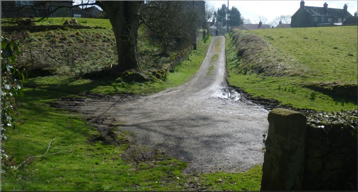
Looking along Church Lane towards the High Street from the church entrance
|