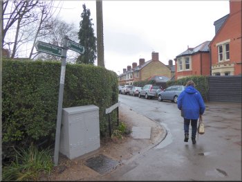
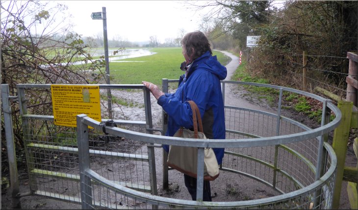
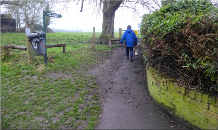
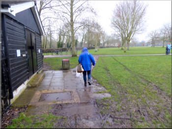
Turning off The Fen Causeway (A1134) onto the footpath across Coe Fen common
|
Footpath & cycleway across Coe Fen
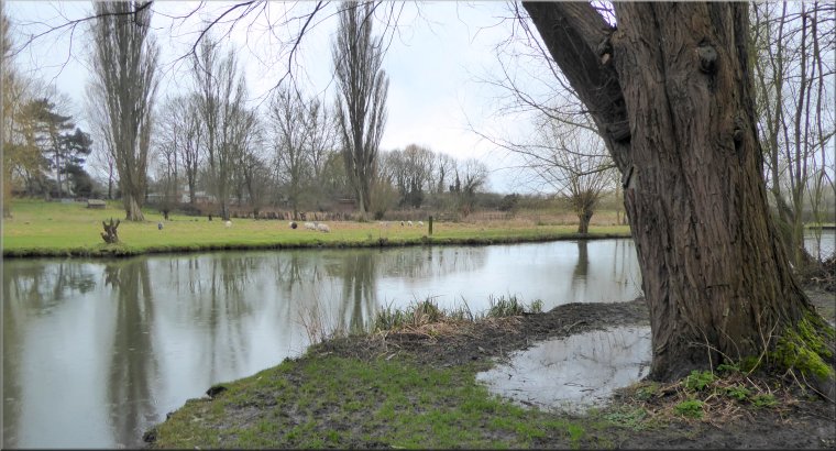
From our hotel we walked along the A1134, called The Fen Causeway, towards the road bridge over the River Cam. On the eastern side of the river, just before we reached the road bridge, we turned left off the A1134 on to a footpath across Coe Fen. We walked along the surfaced path for about 300m and then followed the path around a long bend to our right to a footbridge (& cycles) over the River Cam.
|
My wife & I are having a short city break in Cambridge for the next few days. We travelled here by train from York and checked into our hotel this lunch time. The weather is the same dismal cold, damp stuff we experienced at home! After our lunch in the hotel the rain seemed to be easing off so we decided to go for a walk along the river to Grantchester and back this afternoon.
Approaching the footbridge over the River Cam from Coe Fen
|
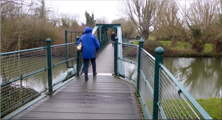
The footbridge over the River Cam from Coe Fen
|
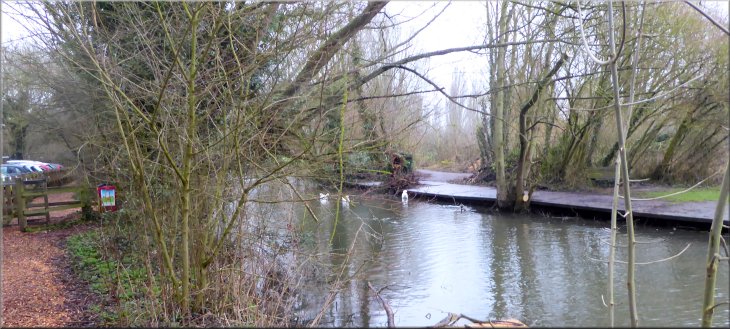
Second footbridge over the watercourse flowing across the park
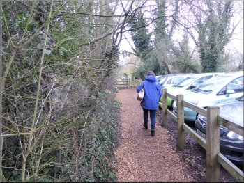
Following the path to the River Cam from the car park
Footpath beside the River Cam
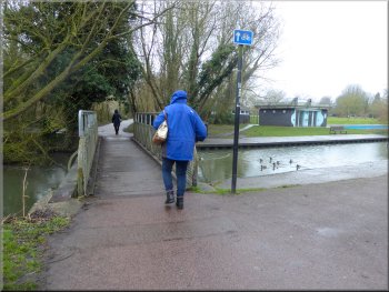
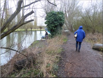
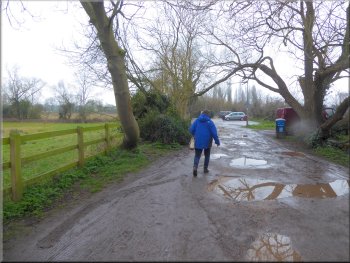
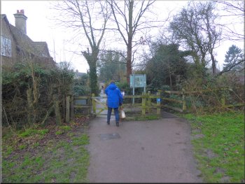
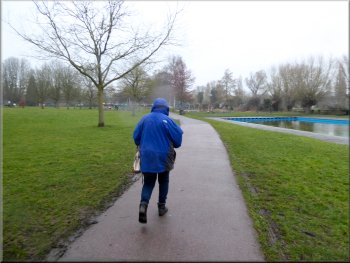
We followed the path between a car park and the watercourse flowing to the park. Beyond the car park we continued along a path surfaced with wood and bark chips and followed the bank of the River Cam on our left. It was a very pretty path despite the gloomy weather. |
We continued along the path for about another 100m to a second footbridge over a watercouse from the River Cam feeding water to a stream through the park on our right. Just across this second bridge we turned left along a fenced path.
Footpath past the car park at the park
Footpath beside the River Cam
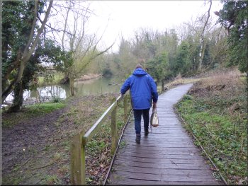
Short boardwalk to Grantchester Meadows
|
Joining Grantchester Meadows from the riverside path
|
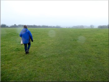
Walking along Grantchester Meadows
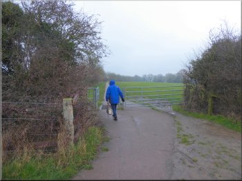
Unmade road from the end of Grantchester Meadows
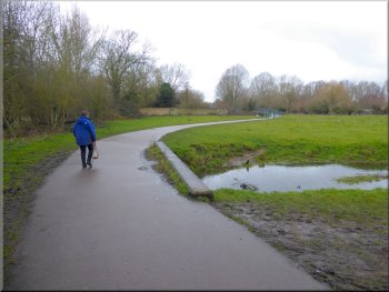
Just through the gate the surfaced path continued straight ahead and the public footpath turned to our left down to the bank of the River Cam. It had been our intention to follow the public footpath along the River Bank to Grantchester and on a fine dry day this would be a very pleasant walk, but today the fields were waterlogged with pools of standing water and the path was soft squelchy mud. Last summer my wife had a bad fall in mud like this and broke her leg so we decided to continue along the surfaced path to Grantchester. |
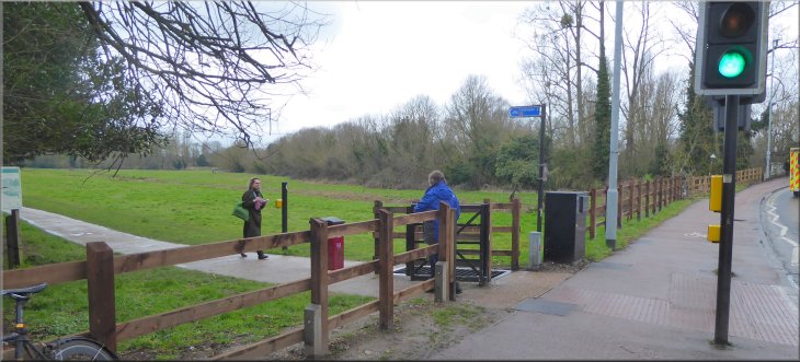
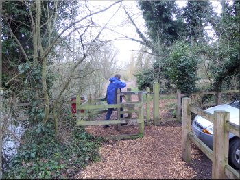
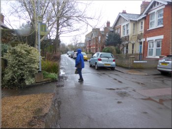
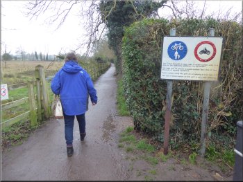
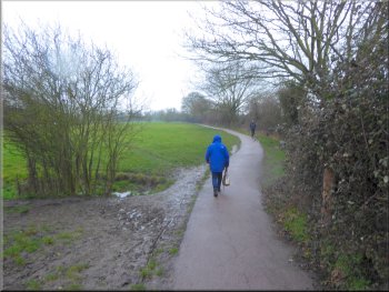
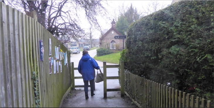
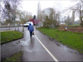
About 400m from the car park the path came out on to a residential street called Grantchester Meadows. Here we turned left and walked along Grantchester Meadows for about 350m to the end of the road and the start of an unmade road. There were playing fields to the right of the unmade road and fields down to the River Cam on our left. We walked along the unmade road for about 100m to its end where it became a surfaced footpath between the fields. We followed this footpath for another 150m to a steel gate into the fields.
Walking along Grantchester Meadows
Surfaced footpath from the unmade road
|
Surfaced path continues straight ahead, the riverside path turns left to cross the field to the River Cam
|
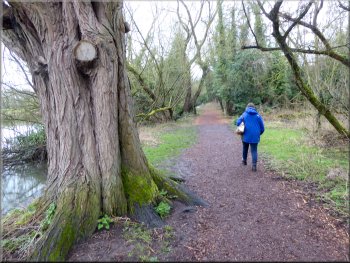
The surfaced path across the fields to Grantchester
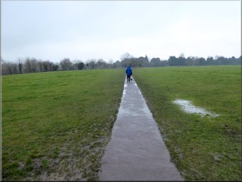
The surfaced path across the fields to Grantchester
Just beyond the beer gardens of The Red Lion and The Green Man the path joined the High Street in the village. About 100m to our left the path along the bank of the River Cam also joins the High Street. |
It was a pleasant enough walk but spoilt by the poor weather but we did see a Little Egret feeding in the fields near the river. As we neared Grantchester, on our right we passed the entrances to the beer gardens of the two pubs in the village.
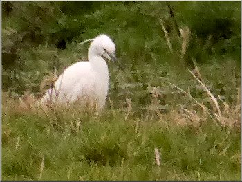
Little Egret feeding by the River Cam
Nearing the two pub beer gardens as we reached Grantchester
|
Joining the High Street in Grantchester
|
Walking along the High Street past the church
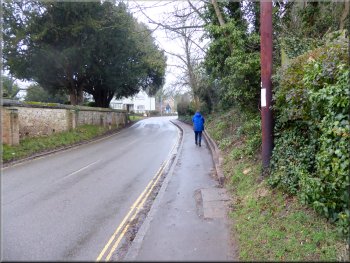
Past the pubs the High Street bent back left and the right again where the street name changed to Broadway. About 100m round this bend we turned right off the road to follow a public footpath across the fields. |
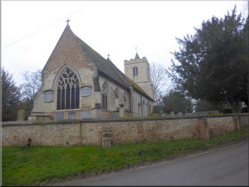
At the High Street we turned right and continued our walk along the High Street past the Grantchester parish church of St. Andrew & St. Mary. Just beyond the church the High Street bent round to our right and took us past the front entrances of the Red Lion and The Green Man.
Grantchester parish church of St. Andrew & St. Mary
|
Turning right off Broadway to follow the path across the fields
|
Crossing the field to rejoin the surfaced path
From here we retraced our outward route back to the residential road in Cambridge called Grantchester Meadows. From there we followed the path by the River Cam back to the car park at the park. |
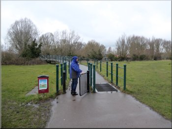
This field was very wet too, but after around 300m we rejoined the surfaced path at a steel gate into the next field (map ref. TL 435 559).
Rejoining the surfaced path heading back to Cambridge
|
Returning to the car park next to the park
|
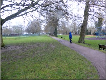
Setting off across the park towards the A1134
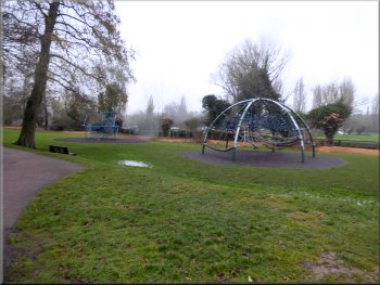
Deserted children's playground on this gloomy day
Joining The Fen Causeway, A1134, from the park
We had returned to our starting point. From here we made our way back to our hotel. The whole route we had intended to walk was 7km and would take about two & a half hours to walk. On this dreary day the only other people we had passed were a few bedraggled dog walkers. |
We did not cross the footbridge on our right this time, but instead we walked though the park in the drizzle past a very well equipped but deserted playground to the A1134, The Fen Causeway. At the road we turned right and walked along the road across the road bridge over the River Cam.
Crossing the park towards the A1134
Heading for the Fen Causeway, A1134, across the park
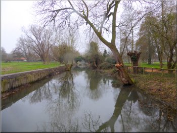
Watercourse crossing the park seen from the road bridge
|
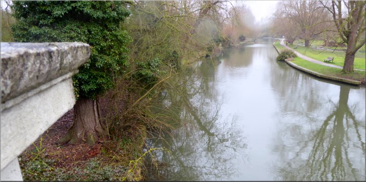
The River Cam seen from The Fen Causeway road bridge at the end of our walk
|