|
2001 walks |
2002
walks |
2003 walks |
2004
walks |
|
2005 walks |
2006
walks |
2007 walks |
2008
walks |
|
2009 walks |
2010
walks |
2011 walks |
2012 walks |
|
2013 walks |
2014 walks |
2015 walks |
2016 walks |
|
2017 walks |
2018 walks |
2019 walks |
2020 walks |
|
2021 walks |
1993-2000 library |
Find a Route Index |
|
A few Routes to print out |
Request a Route... |
Route No. 706 - Thursday 8 February 2018
Sproxton, Ebor Way, River Rye,
Helmsley - 5km (linear walk)
North York Moors . . .
Route map from Ordnance Survey
Open Space service.
Map: OS Explorer OL26 North York Moors Western area

St. Chad's Church Sproxton opposite the bus stop where the walk starts
|
The road through Sproxton village
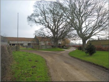
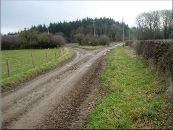
The road passing to the right of Sproxton Hall farm
After about 400m I passed the village hall on the left hand side of the road. The hall consists of a WW2 style Nissen Hut and the inscription over the doorway dates it to 1949. I continued along the road and about 250m past Sproxton Hall farm I turned left along a farm access track leading to Low Parks Farm. I followed the farm access track for about 650m to the entrance to Low Parks Farm. |
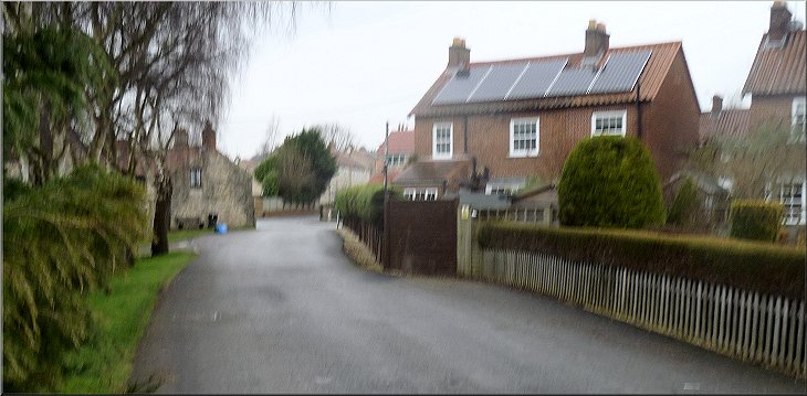
My friend, Jim, has injured his knee and is unable to walk far, note the absence of his famous back in today's photos! So today I went on my own to Sproxton to start my walk from the bus stop (31X York to Helmsley route) on the B1257 opposite St. Chad's church (map ref. SE 613 815). From the bus stop I crossed the road (B1267) and set off along the road through Sproxton village.
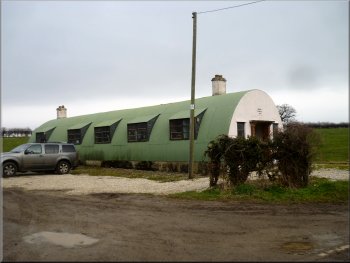
Sproxton village hall, WW2 Nissen Hut
Turning left along the access track to Low Parks Farm
|
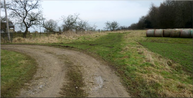
The access track turns left into Low Parks Farm but the bridleway continues straight ahead
|
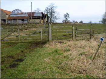
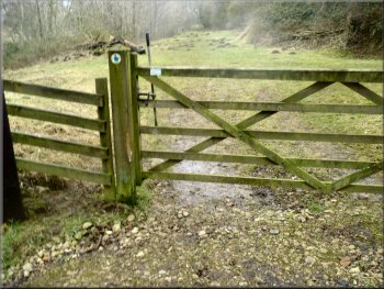
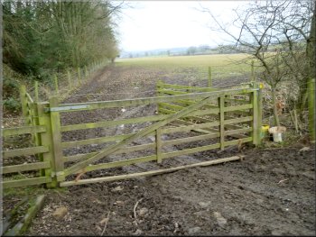
I turned left through this gate just past Low Parks Farm
Track at the corner of the field next to Ellers Wood
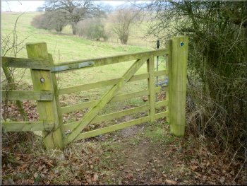
Bridleway gate into the next field
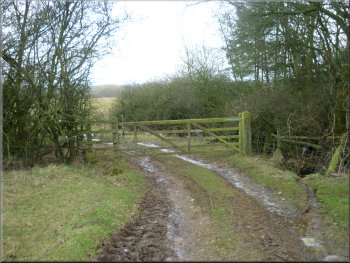
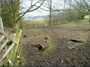
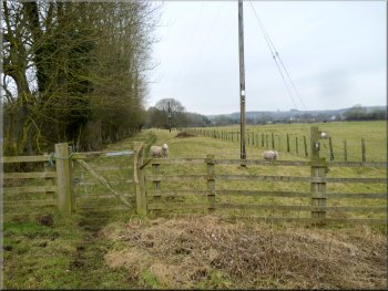
I passed through the muddy gateway and walked along the edge of the field with the low hedge on my left to the corner of the field. Near the field corner the bridleway passed through an area of scrubland to a small gate. I passed through this gate into the next field and continued down the slope to a similar gate in the bottom corner of this field. Through this gate I was in the flat sheep pastures in the valley bottom. The land here is quite wet and there was a large pond over to my right. |
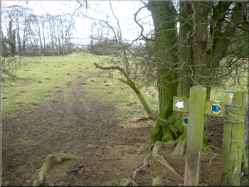
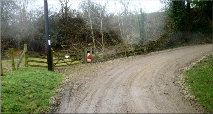
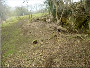
Where the farm access track turned left to Low Parks farm I kept straight on following the route of the Ebor Way along a bridleway. About 60m beyond the entrance to Low Parks farm the bridleway turned left through a field gate. Through the field gate the bridleway followed the field boundary on my right. After about 75m the bridleway came to the top of the slope down to the River Rye. I continued along the bridleway down the slope to a field gate in the corner of the field at the bottom of the slope.
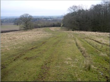
Bridleway heading down the slope to the River Rye
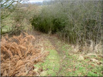
Path, bridleway, through the scrub in the field corner
Bridleway at the field edge down to the bottom of the slope
|
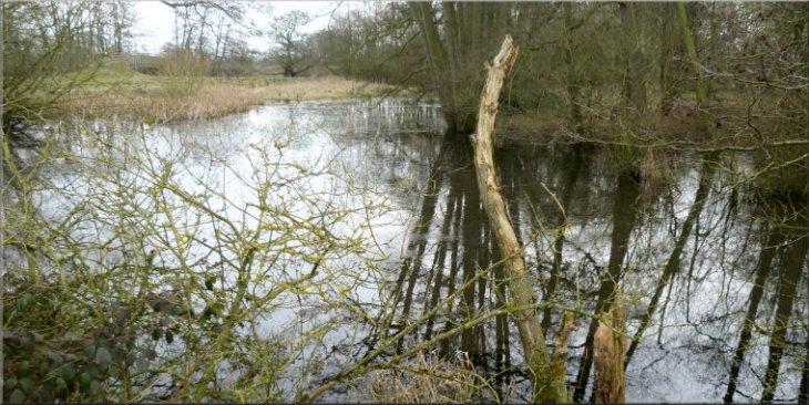
Pond by the bridleway in the valley bottom
|
Right turn here to head for the bridge over the River Rye
Fish Farm seen from the end of the bridge
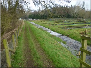
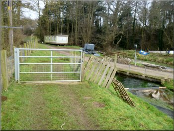
Fortunately the dogs stayed within the fish farm boundary and I just continued along the Ebor Way bridleway to the end of the fish farm site. Here the bridleway joined the access track to the fish farm. I followed this access track for about 150m from the fish farm and here at a bend in the track there was a gate on the left of the track. |
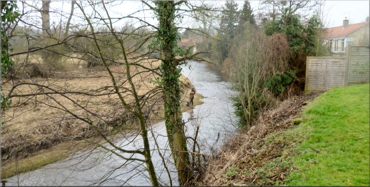
Just beyond the pond I turned right to head across the field to a footbridge over the River Rye at map ref. SE 632 820. Across the footbridge I turned left with the River Rye on my left and the pools of a fish farm on my right. Two rather noisy guard dogs came bounding across the fish farm to warn me off.
Ramp up to the bridge over the River Rye
Gate on to the fish farm access road
|
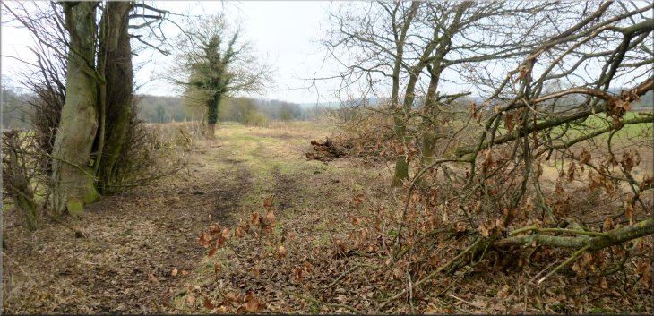
Left turn off the fish farm access road to follow the Ebor Way across the fields
|
I turned left here to follow the Ebor Way across the fields
Turning right under the old railway
I followed the path along the left hand edge of this field
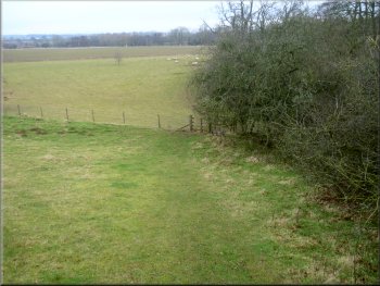
Through this gate the footpath continued following the field boundary on my left. There was a large flock of sheep in this field. They were clearly used to being fed and in a few moments I had about 40 sheep following me closely along the edge of the field. I felt like the Pied Piper! At the end of the field there was an arrangement of gates, fence panels and electric fences that allowed the sheep through into the next field on the right and provided a little pedestrian gate to continue straight ahead along the public footpath. Once I was through this little gate the path continued along the field edge. |
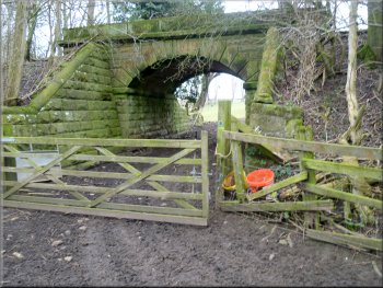
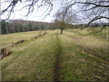
I turned left off the track here to go through the gate and continue along the route of the Ebor Way, with the River Rye on my left and the embankment of a disused railway on my right. After about 400m across the fields I came to a bridge under the old railway on my right. Here the Ebor Way turned left to follow the River Rye towards Helmsley. I turned right and walked through the bridge under the old railway. Through the bridge I turned sharp left down to a gate into the next field.
Continuing along the Ebor Way with the River Rye on my left
Through the railway bridge and turning left down to the gate

The sheep could go left but my path kept straight on
|
The public footpath continued along the field edge towards the Helmsley sewage works
|
The path continued along the field edge . . .
The path continued along a low straight embankment
I rejoined the Ebor Way on these industrial estate tracks
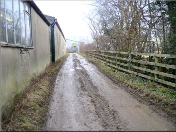
About 500m beyond the sewage works I came to a series of narrow tracks between industrial units where my footpath rejoined the route of the Ebor Way. I followed the Ebor Way signs through the maze of industrial units to emerge on to Sawmill Lane. |
I continued along this path past the boundary fence of the Helmsley sewage works. Gradually the path became raised up on a small, long, straight embankment which at first I thought must be the old railway but that was away to my left so I don't know the origin of this raised trackway.

. . . and past the Helmsley sewage works

The path continued along a low straight embankment
I rejoined the Ebor Way on these industrial estate tracks
|
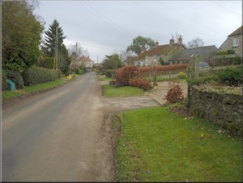
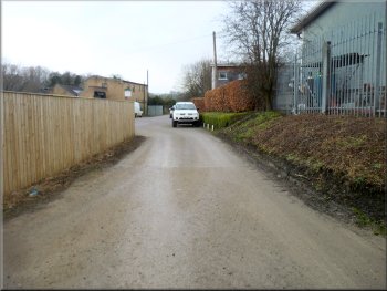
Heading into Helmsley along Sawmill Lane
|
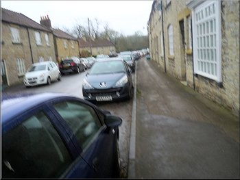
I walked along Ryegate towards Bridge Street
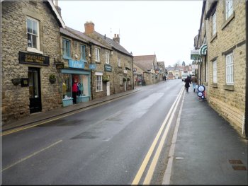
I followed Bridge Street to the Market Place
The whole walk had been about 5km and it had taken me almost two & a half hours to walk. It had been quite a pleasant little walk despite the rather gloomy damp weather.
|
I followed Sawmill Lane out to Ryegate where I turned left and followed Ryegate out to the A170 next to Helmsley Bridge where the road is called Bridge Street. I turned right here to walk along Bridge Street to the Market Place. Here there is the bus stop at the Co-op supermarket to get the bus back my starting point. There was plenty of time to have some lunch before the bus was due.
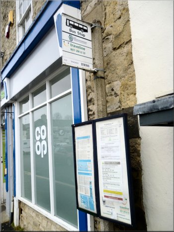
Bus stop by the Co-op in the Market Place for my return trip
|
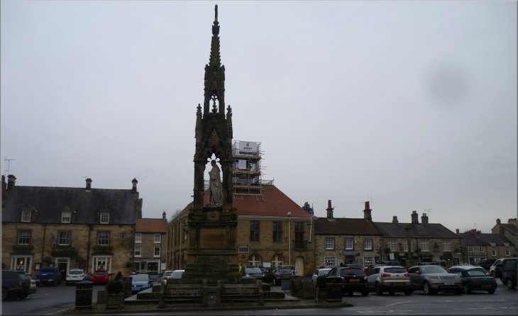
Memorial in the Market Place seen from the bus stop waiting for the bus back home
|