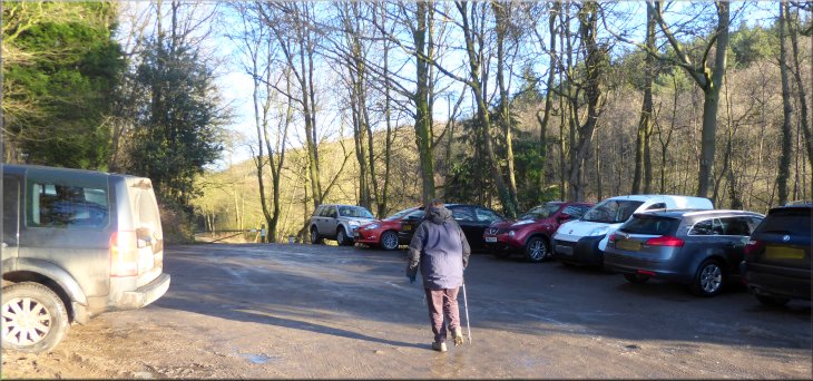
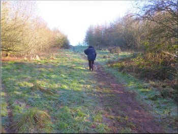
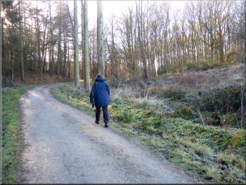
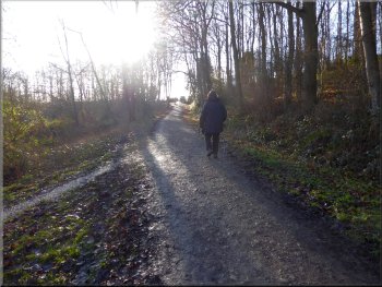
Setting off from the car park at the start of our walk
|
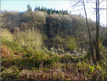
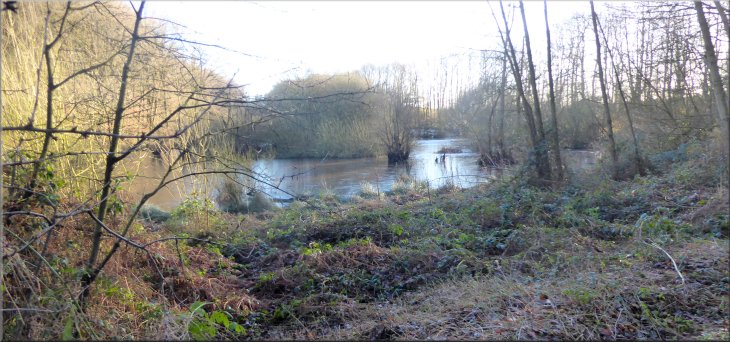
Pond to the right of the track as we left the car park
It's a popular area with walkers, mountain bikers and horse riders. The car park is at the entrance to the woodland at Hood Hill. This area of woodland is open access with a mixture of forest tracks and muddy footpaths all over the area. From the car park we followed the stony track northwards into the woodland with a pretty pond below the track on our right. |
This morning the forecast was for a crisp bright day perfect for a walk. My wife & I drove out from our home in Easingwold to Kilburn. From Kilburn we took the road towards Bagby, called Osgoodby Bank. About 2km from Kilburn, at map ref. SE 497 805, there is a car park off the right hand side of the road, where we parked. We only just managed to squeeze in.
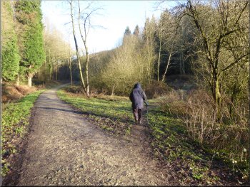
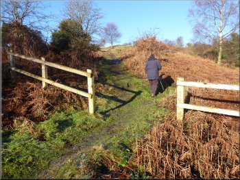
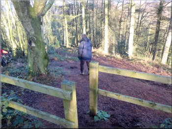
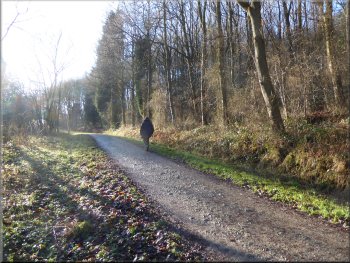
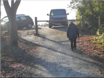
Turning right about 100m from the car park
|
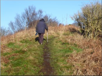
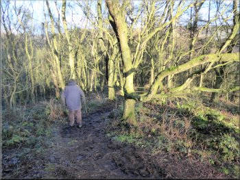
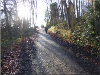
Muddy path heading north east straight up the hillside
|
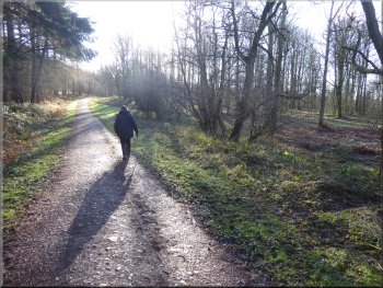
Continuing on the path heading straight up the hillside
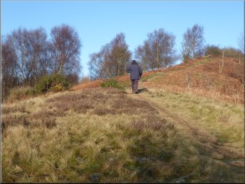
The path now a grassy track straight up the hillside
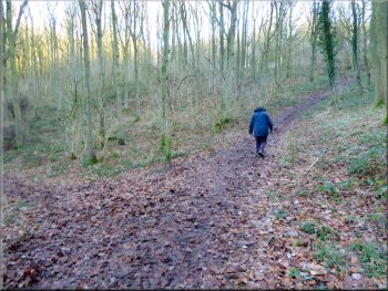
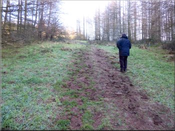
There were other paths off to either side of our path bur we maintained our direction climbing straight up the hillside for about 700m until we reached the ridge of Hood Hill. |
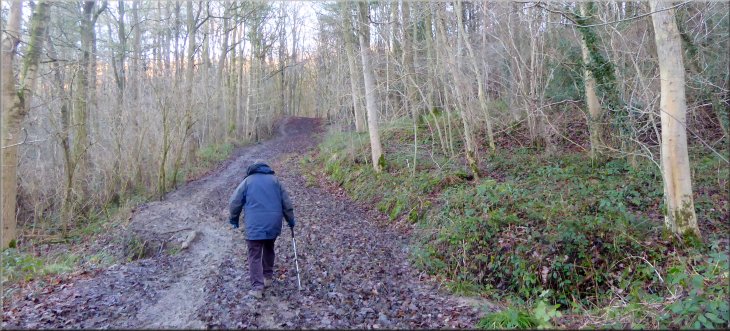
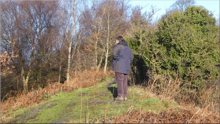
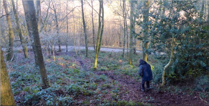
About 100m from the car park the main stony track continued straight on, but we turned right along a rather muddy path heading north east. This path climbed up the wooded hillside continuing to head generally northeastwards.
Continuing on the path heading straight up the hillside
The path now a grassy track straight up the hillside
|

Nearing the ridge of Hood Hill where the path turned left to continue climbing along the ridge
|
Turning left to follow the path along the ridge
Path climbing along the narrow ridge of Hood Hill
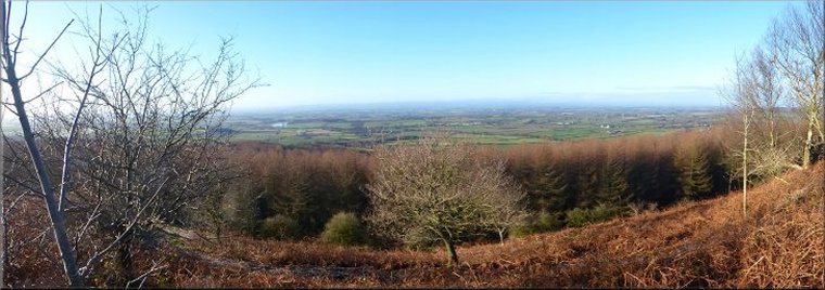
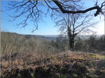
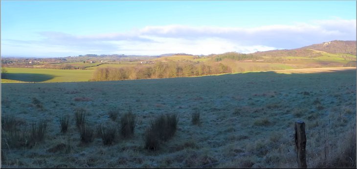
Only the earthworks of the castle defences remain. There were good views from the ridge in the winter sunshine although the Yorkshire Dales hills to the west were lost in the distant haze (see header photo). |
At the ridge the path turned left heading northwards along the ridge, continuing to climb for another 400m to the top of the hill at a height of 250m. where there is the site of a Norman Motte & Bailey castle.
Path climbing along the narrow ridge of Hood Hill
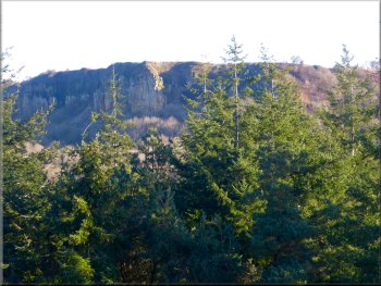
The cliffs of Roulston Scar seen from Hood Hill ridge
|
The top of the narrow ridge of Hood Hill
|
The stone steps up the outer rampart from the castle ditch
Path down the north east corner of Hood Hill
Path down the north east corner of Hood Hill
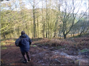
From the top of the hill we followed this path for about 500m down to the stony track round the base of Hood Hill at map ref. SE 506 818. Parts of the path down the hillside were steep and slippery, but everywhere is a bit muddy in January. |
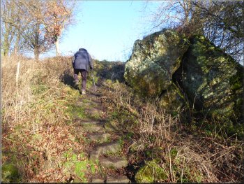
About 50m beyond the top of the hill there was a steep sided dip in the ridge with stone steps down about 10m and back up again. This is the defensive ditch between the 'Motte' and the outer rampart of the Norman castle. We continued along the ridge path now heading in a north easterly direction down the north eastern corner of Hood Hill.
Looking east along the Hambleton Hills from Hood Hill ridge
Path down the north east corner of Hood Hill
Green forest track that we crossed at map ref. SE 505 816
|
Nearing the stony forest track at the north east corner of Hood Hill
|
Track around the base of Hood Hill at map ref. SE 506 818
We could see across the fields to Hood Grange with the road to Sutton Bank beyond & the hills around Gormire Lake as we followed the track around a left hand bend in the track. |
At the stony track we turned left and followed the track around the base of Hood Hill. There was a good view back to the cliffs of Roulston Scar.
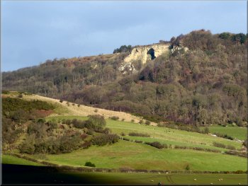
The cliffs of Roulston Scar seen from the track
|
Looking northwards from the track along the north side of Hood Hill
|
Track along the north side of Hood Hill
Path heading south along the west side of Hood Hill
Nearing the car park at the end of our walk
As we neared the car park we passed the pond below the track on our left looking lovely in the winter sunshine at the end of our walk. It had been a short walk of only 4km but it included quite a steep climb over Hood Hill and some awkward muddy paths on the steep hillsides. The whole walk took us about two hours to walk. |
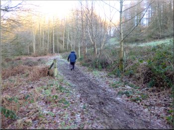
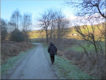
From the bend the track headed south west around the northern edge of the woodland. We followed the track in this direction for about 500m to another long left hand bend in the track until we were heading southwards. We continued along the track heading southwards for about 1.1km. to return to the car park.
Path heading south along the west side of Hood Hill
Passing our turn off the track at the start of our walk
Returning to the car park at the end of our walk
|
Pond to the left of the track as we approached the car park at the end of our walk
|