|
2001 walks |
2002
walks |
2003 walks |
2004
walks |
|
2005 walks |
2006
walks |
2007 walks |
2008
walks |
|
2009 walks |
2010
walks |
2011 walks |
2012 walks |
|
2013 walks |
2014 walks |
2015 walks |
2016 walks |
|
2017 walks |
2018 walks |
2019 walks |
2020 walks |
|
2021 walks |
1993-2000 library |
Find a Route Index |
|
A few Routes to print out |
Request a Route... |
Route No. 701 - Thursday 7 December 2017
Oulston, Springview Farm, Thornton Lane,
Thornton Lodge Farm drive, River Kyle circuit - 7km
Howardian Hills . . .
Route map from Ordnance Survey
Open Space service.
Map: OS Explorer 299 Ripon & Boroughbridge
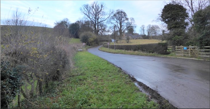
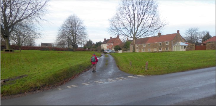
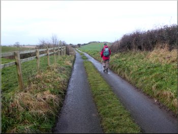
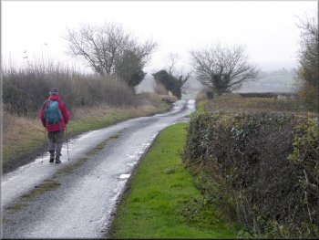
The road into Oulston seen from our parking spot south of the village
|
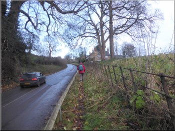
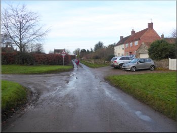
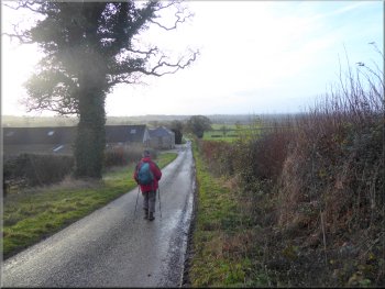
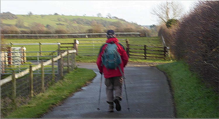
Following the road into Oulston at the start of our walk
It was quite a bright morning ahead of high winds and rain due later this afternoon. From our parking spot we walked along the road, up the hill, into Oulston village. After about 400m we turned right to the village green. |
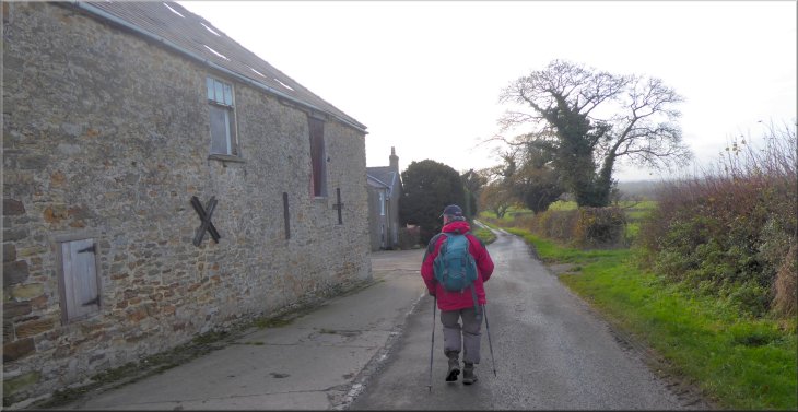
This morning my friend, Jim, and I had a short local walk. We drove to the village of Oulston and parked at map ref. SE 547 740 just south of Oulston village where it's possible to park on the grass verge next to the access lay-by in front of a small pumping station.
Following the road into Oulston at the start of our walk
|
Our right turn to cross the village green in Oulston
|
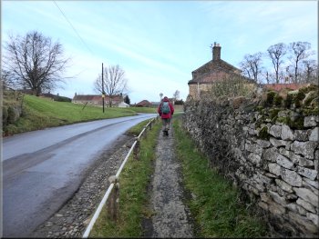
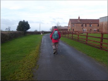
Leaving Oulston along the lane past Manor Farm
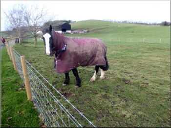
Horse in its winter coat at Springview Farm
Heading for Thornton Lane from Springview Farm
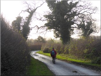
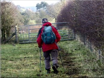
Today the Pennine Hills were lost in the haze. About 1.3km from the village green in Oulston we came to the junction with Thornton Lane at map ref. SE 534 744. |
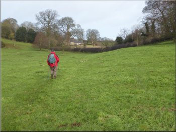
From the village green we followed a narrow lane heading in a westerly direction past Manor farm. There is a fine view south from the top of the escarpment as we made our way along the lane past Springview Farm.
Walking along the lane towards Springview Farm
Walking along the lane past Springview Farm
Heading along the lane to the Thornton Lane junction
|
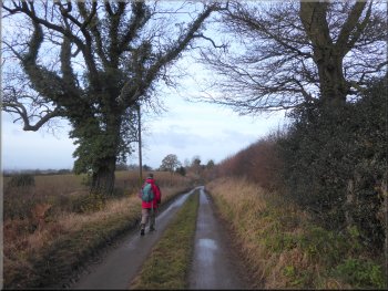
Our left turn into Thornton Lane
|
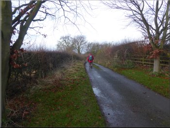
Walking down Thornton Lane to the head of a little valley
Heading for Thornton Hill Farm along Thornton Lane
From High House we followed the road to the edge of the escarpment and then down past Thornton Hill Farm on the left hand side of the road. |
At the junction we turned left and walked along Thornton Lane. We followed the road down into the head of a little valley and then up to pass High House on the right hand side of the road.
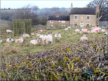
Sheep at High House
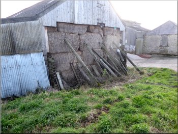
Straw stack shored up by Thornton Lane
|
Passing Thornton Hill Farm along Thornton Lane
|
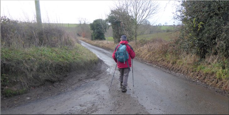
Thornton Lane nearing our turn to Thornton Lodge Farm
Holiday chalets at Thornton Lodge Farm
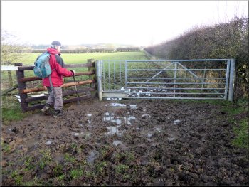
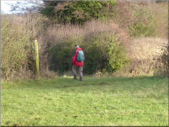
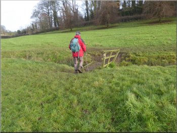
After about 850m the farm access road turns left towards the farm and the bridleway continues along the access road to the farm. At the bend we kept straight on following a public footpath along the edge of the fields. |
From Thornton Hill Farm we continued along the road for another 1.2km to the start of the farm access road at map ref. SE 532 722, that leads to Thornton Lodge Farm. Here we turned left to walk along the farm access road following a public bridleway.

The bridleway off Thornton Lane to Thornton Lodge Farm
Bridleway along the access road to Thornton Lodge Farm
|
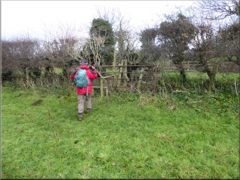
Where the access road turns left to the farm, we kept straight on along the Foss Walk footpath
|

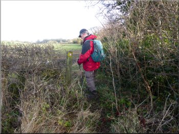
Way marker post on the Foss Walk footpath
Foss Walk route along the edge of the fields
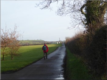
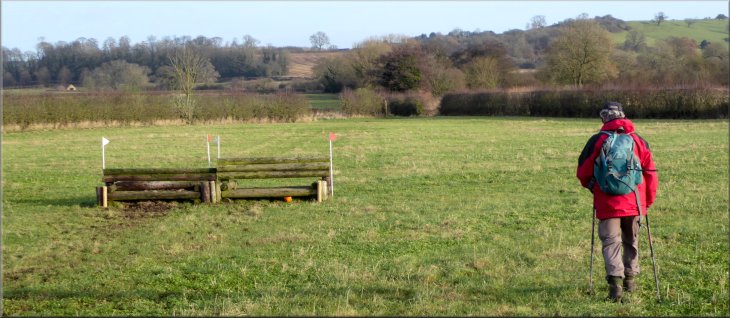
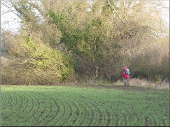
We followed the footpath along the edge of two fields from the farm access road and then continued diagonally across a field where there were several horse training jumps set out. |
In fact this footpath is part of the Foss Walk that starts in the centre of York and follows the River Foss up to Oulston Reservoir & Pond Head Farm before making its way down to finish in Easingwold.
Foss Walk route along the edge of the fields

|
Crossing a field with horse training jumps set up
|
Path from the field corner by the River Kyle(small stream)
Foss Walk path around the field edge next to the R. Kyle
Foss Walk path around the field edge next to the R. Kyle
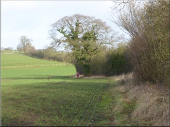
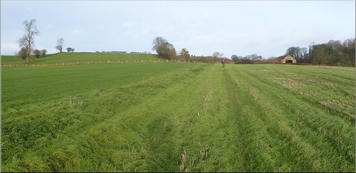
The path followed this watercourse along the edge of two large fields and then the watercourse turned away to our right where we crossed another field to some farm buildings called "Low Buildings". |
From the corner of this field the footpath followed the course of the River Kyle. This is just a small stream really often hidden by the trees & bushes along its banks.
Foss Walk path around the field edge
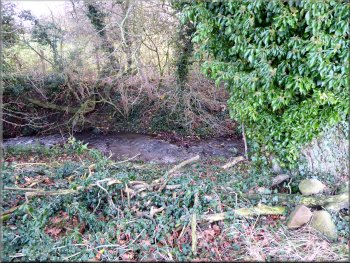
A glimpse of the River Kyle, just a small stream really

Heading across the field to the 'Low Buildings'
|
Heading across the field to the 'Low Buildings'
|
Following the Foss Walk route towards Oulston
Crossing the field to the road at the end of our walk
The Foss Way path continues across the field to come out onto the road about 100m further on. It has been a very pleasant walk of 7km that had taken us about two and a quarter hours to walk. From Oulston we drove about 2km to Coxwold for a coffee & our usual bacon sandwich for lunch before returning home to Easingwold. |
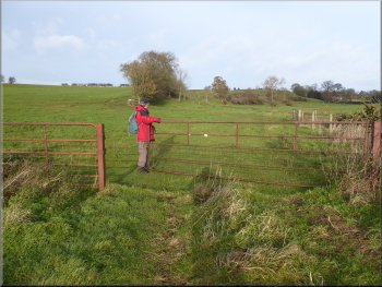
From Low Buildings we crossed the field heading towards the road and crossed a little wooden footbridge across the River Kyle. As we neared the road there was a stile on our right on to the road next to our parking spot and we crossed this stile back to the car and the end of our walk.
Footbridge across the River Kyle near the road
Stile on to the road at the end of our walk
|
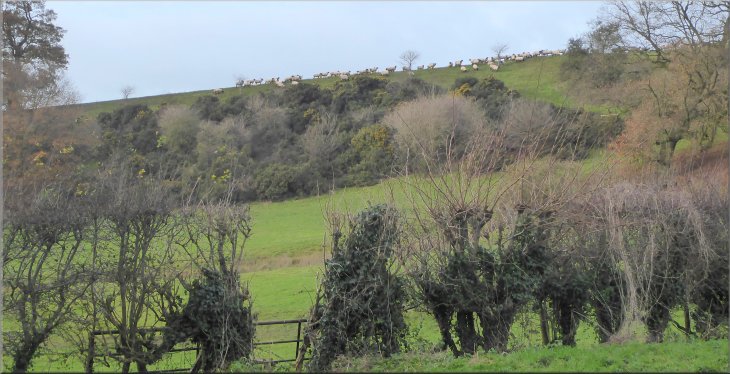
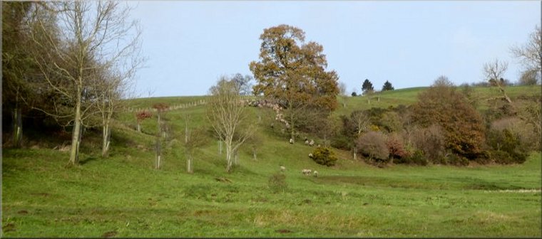
Flock of sheep on the sky-line opposite our parking spot at the end of our walk
|