|
2001 walks |
2002
walks |
2003 walks |
2004
walks |
|
2005 walks |
2006
walks |
2007 walks |
2008
walks |
|
2009 walks |
2010
walks |
2011 walks |
2012 walks |
|
2013 walks |
2014 walks |
2015 walks |
2016 walks |
|
2017 walks |
2018 walks |
2019 walks |
2020 walks |
|
2021 walks |
1993-2000 library |
Find a Route Index |
|
A few Routes to print out |
Request a Route... |
Route No. 696 - Thursday 9 November 2017
Onhams Lane, Crambe, Rider Lane Farm
Riders Lane, Oak Cliff Wood circuit - 7km
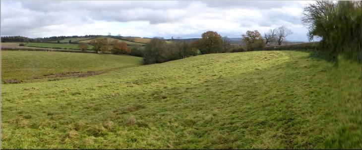
Howardian Hills . . .
Route map from Ordnance Survey
Open Space service.
Map: OS Explorer 300 Howardian Hills & Malton
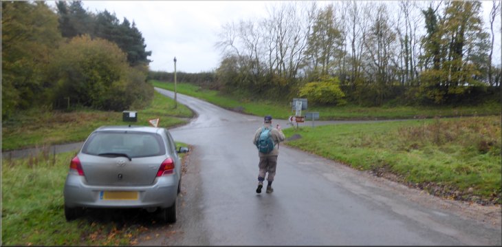
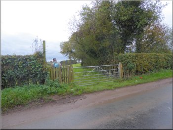
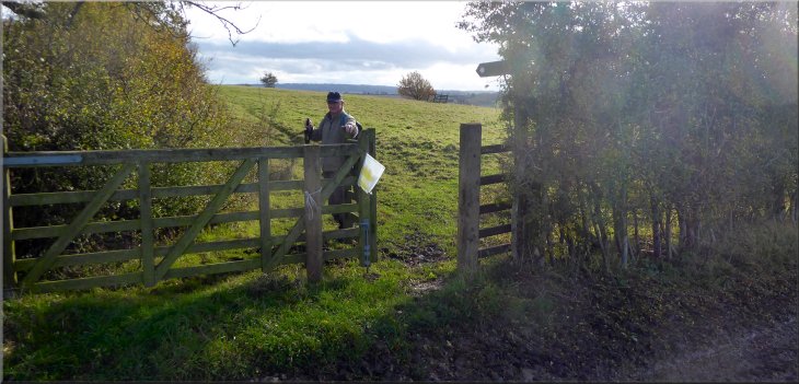
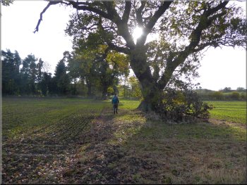
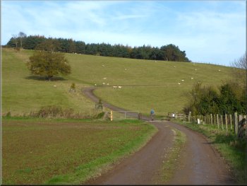
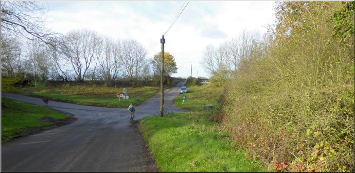
Setting off from our parking spot at the crossroads of Onhams Lane & Shepherdfields Lane
|
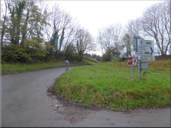
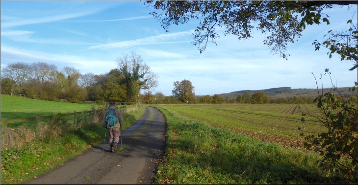
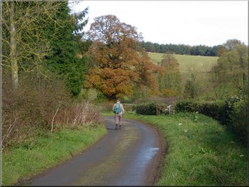
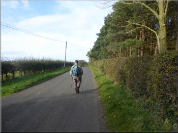
Heading towards the A64 along Onhams Lane
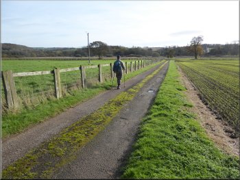
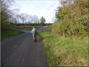
Walking along Onhams Lane from the crossroads
By this time the weather had improved a lot, the cloud had lifted and the rain had stopped. It all seemed set for a good day out in the south east corner of the Howardian Hills AONB that ends just a few hundred metres on the far side of the River Derwent. From our parking spot at the crossroads we walked along Onhams Lane towards the A64 for about 300m.
|
This morning began in a rather gloomy mood with low cloud & drizzle, but the forecast was for it to brighten up into quite a pleasant day. My friend, Jim, and I drove out to the crossroads of Onhams Lane & Shepherdfields Lane at map ref. SE 729 657 between the A64 at Whitwell Hill and the River Derwent at Kirkham Priory. We had a late start this morning and arrived at our parking spot at about 10.30am.
Whitwell-on-the-Hill seen across the A64 from Onhams Lane
Turning left off Onhams Lane on to a field path
|
Following the path across the fields towards the village of Crambe
|
Footpath along the field edge heading towards Crambe
Was it something I said?
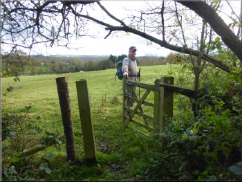
Gate into the last field before Crambe
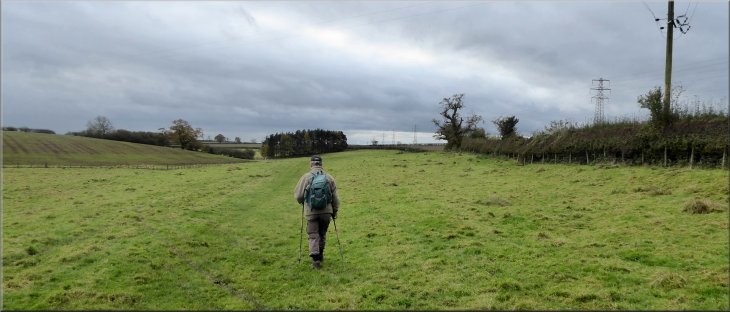
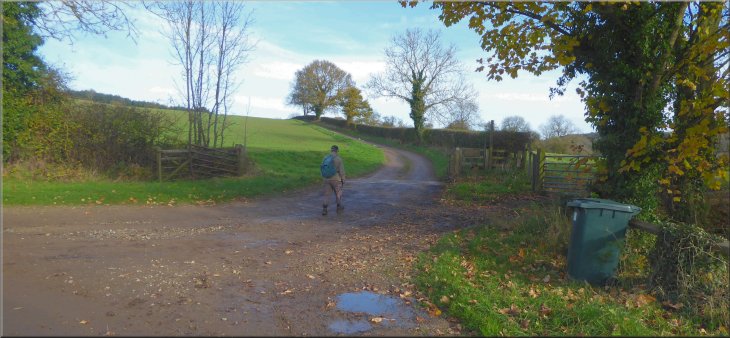
We followed the footpath dropping down across the middle of a field to the gate at the end of the public road (map ref. SE 730 649) at the western edge of the tiny village of Crambe. |
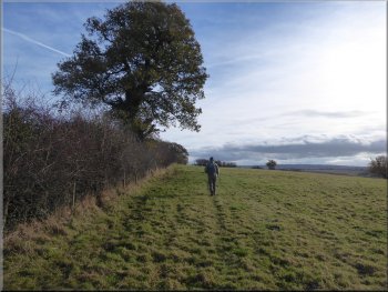
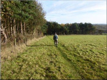
Here we turned left off the Onhams Lane to follow a public footpath along the edge of the field. We continued along the path at the edge of the fields above a little valley.
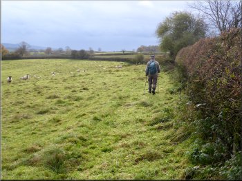
Footpath along the field edge heading towards Crambe
Footpath along the field edge heading towards Crambe
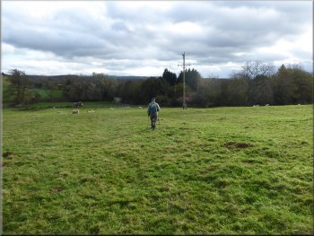
Crossing the field to the road at the edge of Crambe
|
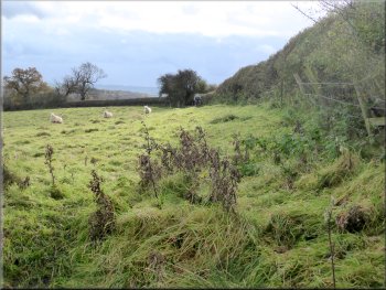
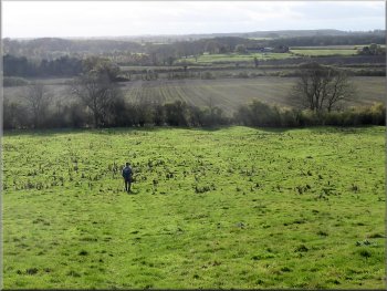
The rolling countryside of the Howardian Hills as we approached the village of Crambe
|
Old by-way climbing up from Crambe
Old by-way climbing up from Crambe
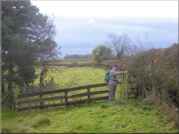
After about 600m we turned left off the track at map ref. SE 727 643 and followed a public footpath along the edge of the field at the top of Crambe Bank. |
At the gate at the edge of Crambe we turned right to follow a track, an old by-way, climbing up away from Crambe.
Old by-way climbing up from Crambe

Top of the gentle climb from Crambe
|
Just over the top of the little climb up from Crambe is our turning off the old by-way on to a field path
|
Path along the field edge at the top of Crambe Bank
Heading straight down Crambe Bank
Footpath along the edge of the field to the railway crossing
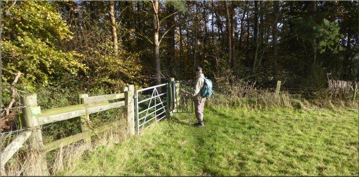
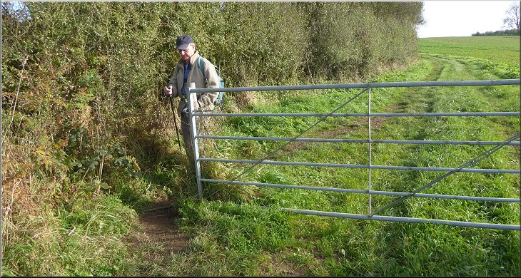
There is a feint path down the bank but it's not easy to spot in the grass. We passed through the little gate and continued along the footpath following the edge of the field to the side of the Scarborough to York railway line. |
After about 300m we came to a way-mark post at the corner of a small block of woodland on our left at map ref. SE 739 642. The way-mark post indicates a right turn in the footpath to head straight down Crambe Bank for about 200m to a pedestrian gate in the hedge at the bottom of the field.
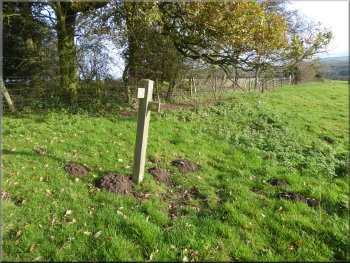
Way-mark post where the path turns down Crambe Bank
Gate in the hedge at the bottom of Crambe Bank
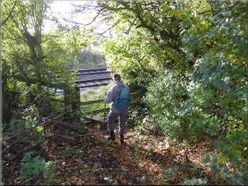
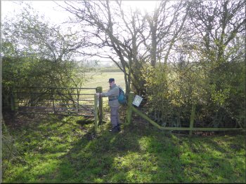
Stile to the pedestrian level crossing
|
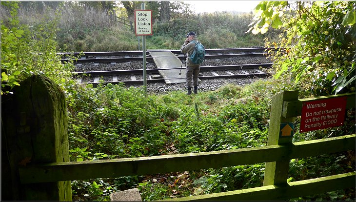
Crossing the York/Scarborough railway line - note: the two coach diesel units are surprisingly quiet!
|
Path from the railway to Rider Lane Farm
Heading for Riders Lane from Rider Lane Farm
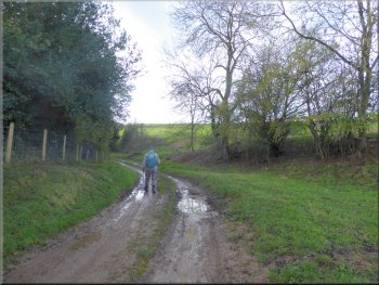
We continued along the footpath past the western side of the farm and along the farm access drive to the road, called Riders Lane. |
We crossed the railway at the pedestrian level crossing and followed the footpath across the next field to Rider Lane Farm.
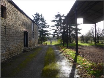
Path along the side of Rider Lane Farm
Looking back to Rider Lane Farm
|
Walking along Riders Lane away from Rider Lane Farm
|
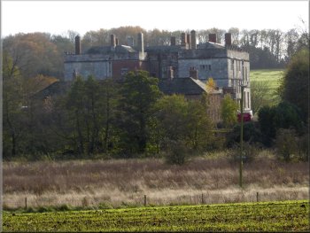
Howsham Hall seen across the river from Riders Lane
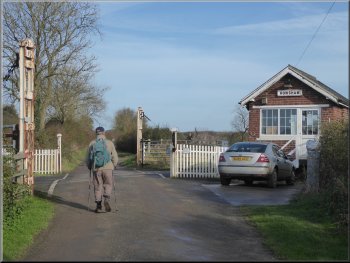
The level crossing at Howsham Gates
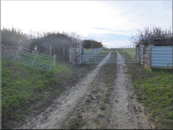
Here there was a sharp left hand bend in the road but we kept straight on following a public footpath along the farm access road leading to Oakcliffe Farm. |
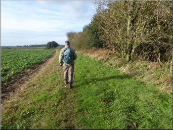
At the lane we turned left and walked along the road for about 450m to the Howsham Gates level crossing. From the level crossing we continued along Riders Lane for another 750m.
Following Riders Lane towards Howsham Gates
Following Riders Lane away from the level crossing
|
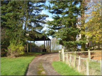
Our turning to our right off Riders Lane to follow the farm access road towards Oakcliffe Farm
|
Farm access road leading towards Oakcliffe Farm
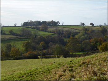
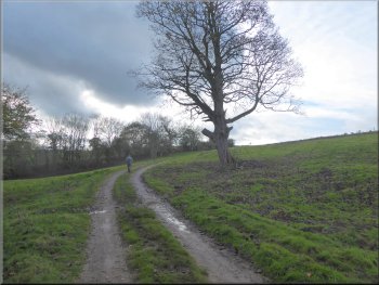
Looking back from the bank top to the hills around Crambe
Here, at the top of the climb, we turned right and followed the path along the field edge next to the wood down the slope for about 100m to a gate into the wood on our left. |
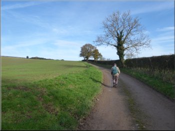
After about 300m the access road turned right to the farm but we kept straight on following the footpath straight up the steep hillside along the edge of the field to the corner of Oak Cliff Wood at map ref. SE 739 650.
Bend ahead goes to the farm, we kept straight ahead up the bank
Dropping down the field edge to the gate into the wood
|
Turning into Oak Cliff Wood from the field path
|
Public footpath through Oak Cliff Wood
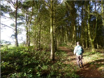
Public footpath through Oak Cliff Wood
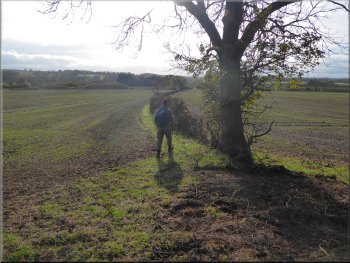
We followed the edge of the field next to the wood & continued along the footpath next to the field hedge for the final 100m out to the road at map ref. SE 732 654. |
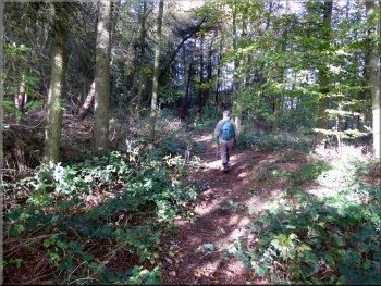
We followed the footpath through the wood with the steep wooded bank dropping down on our right. After about 700m the path came out of the wood to the field edge.

Public footpath through Oak Cliff Wood
Path along the field edge next to the wood
|
Gate onto the road from the path we followed through Oak Cliff Wood
|
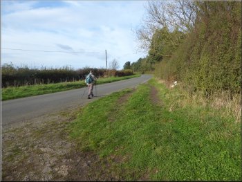
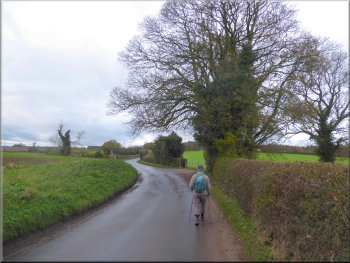
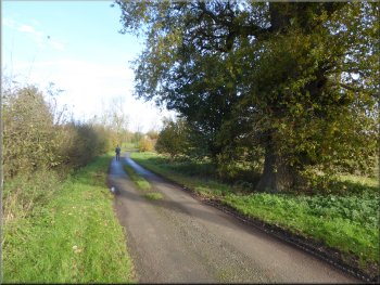
Following the road back towards the crossroads
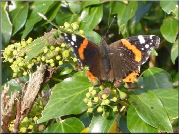
Red admiral butterfly feeding on ivy flowers on the hedgerow
We continued along the road back to our parking spot at the crossroads and the end of our walk. The whole walk had been about 7km and it had taken us a little over two hours to walk in the autumn sunshine. |
At the road we turned right and walked along the road towards our parking spot at the crossroads. There was a patch of ivy in flower in the hedgerow on our right. The ivy flowers were covered in insects including bees, wasps, all kinds of flies and a lovely red admiral butterfly.
Following the road back towards the crossroads
Approaching the crossroads at the end of our walk
|
Returning to the crossroads of Onhams Lane & Shepherdfields Lane at the end of our walk
|
