|
2001 walks |
2002
walks |
2003 walks |
2004
walks |
|
2005 walks |
2006
walks |
2007 walks |
2008
walks |
|
2009 walks |
2010
walks |
2011 walks |
2012 walks |
|
2013 walks |
2014 walks |
2015 walks |
2016 walks |
|
2017 walks |
2018 walks |
2019 walks |
2020 walks |
|
2021 walks |
1993-2000 library |
Find a Route Index |
|
A few Routes to print out |
Request a Route... |

Route No. 694
Thursday 2 November 2017
Westerdale, Whyett Bridge,
Carr House Farm,
Esk Valley Walk,
John Breckton Road,
Osseker Crook Bridge
8km circuit
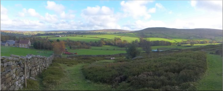
North York Moors . . .
Route map from Ordnance Survey
Open Space service.
Map: OS Explorer OL26 North York Moors Western area
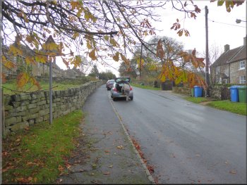
Leaving Westerdale village on the road to Castleton at the start of our walk
|
Our roadside parking spot in Westerdale village
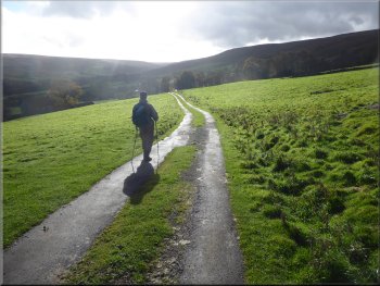
Following the road towards Castleton
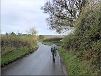
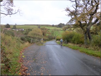
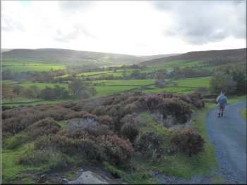
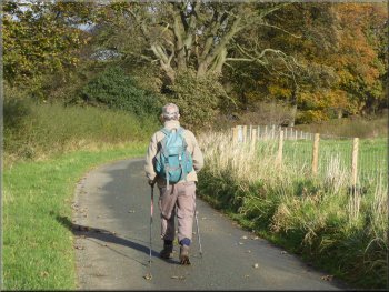
Here we turned right and continued along the road heading down Westerdale with the River Esk flowing through the fields on the left hand side of the road. It was a lovely autumn day with the low sun picking out the autumn colours in the trees. We followed the road for almost 2km to a sharp left hand bend. |
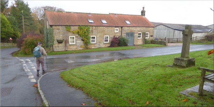
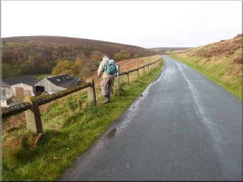
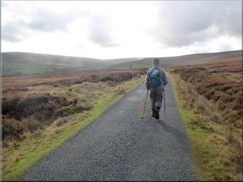
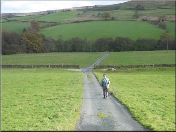
The weather forecast for today was good so my friend, Jim, and I drove to the village of Westerdale in the North York Moors and parked at the road side at the northern edge of the village, map ref. NZ 664 059. From our parking spot we walked about 25m northwards along the road to a junction where there is a memorial cross and a bench seat.
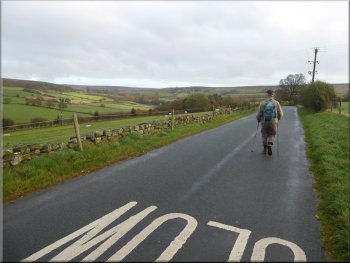
The road to Castleton
Following the road towards Castleton
|
Sharp left hand bend about 2km from Westerdale village
|
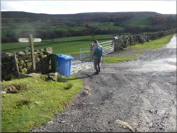
Following the road to Carr House farm
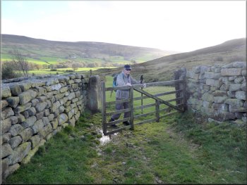
Public footpath along the north side of the farm buildings
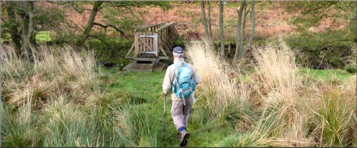
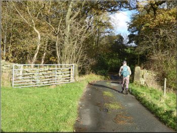
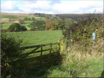
After about 200m along this footpath we came to the route of the Esk Valley Walk where there was a waymark post with the leaping salmon logo of that route. We turned left here to follow the route of the Esk Valley Walk across a wooden footbridge over the River Esk.
|
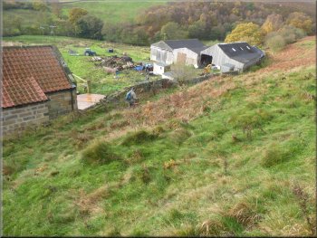
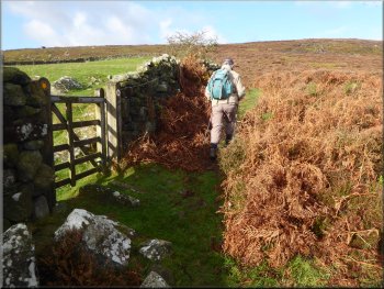
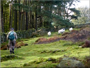
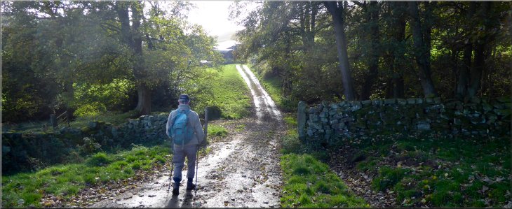
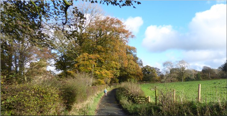
We continued around the bend and followed the road to Carr House Farm. Here we turned left off the road to follow a public footpath along the north side of the farm buildings.
Turning off the road to a public footpath at Carr House farm
Path from Carr House farm to join the Esk Valley Walk
|
Following the Esk Valley Walk to the footbridge across the River Esk
|
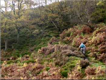
Climbing up from the R. Esk to the heather moor
Continuing along the Esk Valley Walk along the intake wall
Following the route of the Esk Valley Walk
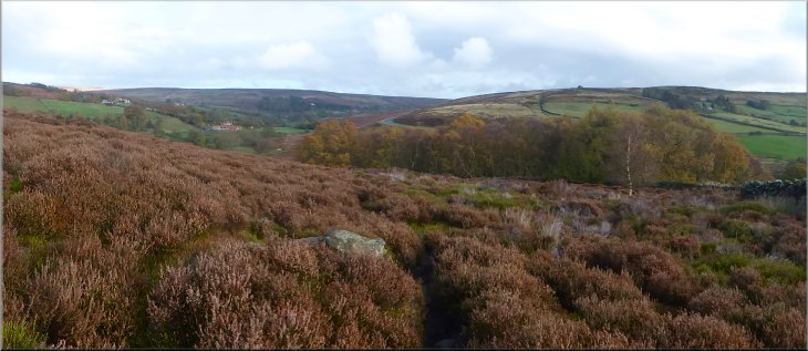
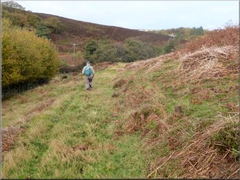
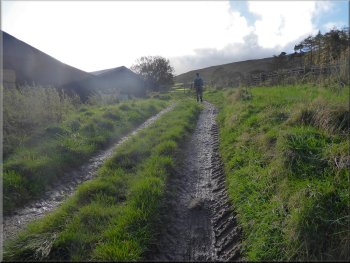
We continued along the route of the Esk Valley Walk for about 700m following the intake wall (the upper edge of the enclosed fields). |
Across the bridge the path climbed up a steep wooded bank to the heather moor beyond.
Following the intake wall at the edge of the moor
Continuing along the Esk Valley Walk along the intake wall
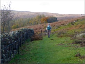
Following the route of the Esk Valley Walk
|
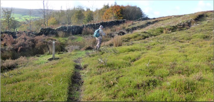
At this waymark post the path veers away from the wall
|
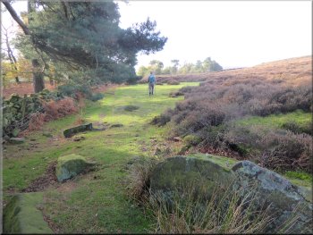
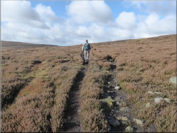
Well walked path across the moor

Nearer to the road the path became a wide track
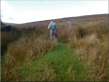
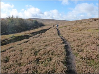
The Esk Valley Walk, shown in green on the OS Explorer map, seems to be lost in the deep heather. About 150m before the path reaches the road, the path becomes a wide track and here we were back on the route of the Esk Valley Walk. |
From this point the route veers away from the wall heading up across the moor to join the road at map ref. NZ 657 069. There is a well walked path but it follows the route of the black dotted path shown on the OS Explorer map.
Well walked path across the moor
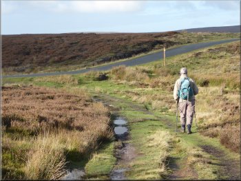
Following the Esk Valley Walk along the track to the road
|
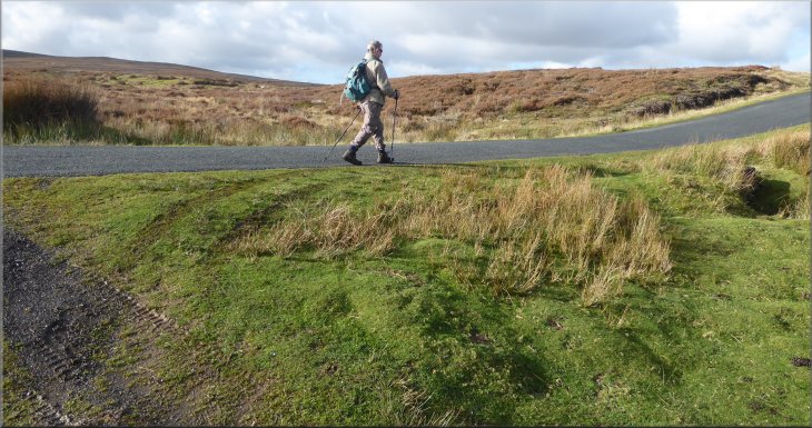
At the road we turned left to walk along it
|
Walking along the road to the junction on our left
Following John Breckton Road from the junction
Looking up Westerdale from the John Breckton Road
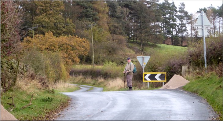
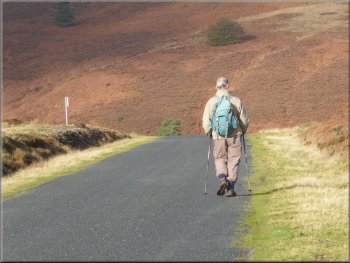
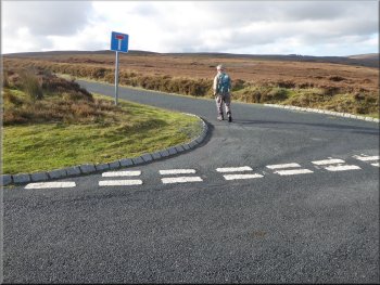
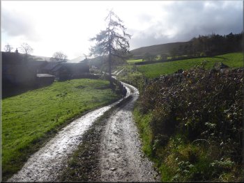
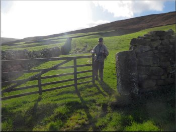
We turned left here to follow this road heading roughly southwest. We followed road dropping down off the moor back into the farmland where the road became an access track to the farms. |
At the road we turned right and walked along the road for about 150m to a road junction on our left. The road on the left is called John Breckton Road.
Turning left on to John Breckton Road
Starting to drop down from the moor to the farmland
Following the road across sheep pasture
|
Following the access road towards Hawthorn House farm
|
Farm access road approaching Hawthorn House farm
Farm track south of Hawthorn House farm
Farm track heading southwards from Hawthorn House farm
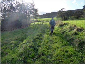
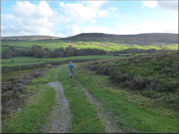
We followed this track for about 600m from Hawthorn House farm to a metalled access road at map ref. NZ 655 051. |
At Hawthorn House farm the path kept to our right and became a grassy track passing through the fields to the west of the farm.
Farm track passing west of Hawthorn House farm
Farm track heading southwards from Hawthorn House farm
Nearing our left turn towards Westerdale village
|
Looking across Westerdale to Tor Hill from the farm access track
|
Turning left on to the road to Westerdale village
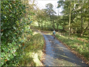
Entering a patch of woodland by the River Esk
Following the road back to Westerdale village
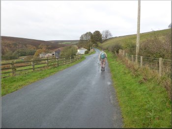
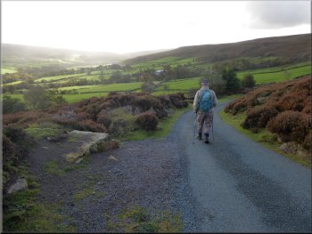
We followed the road for almost 1km back into Westerdale village and the end of our walk. The whole route had been just over 8km and it had taken us about 3hours to walk in the pleasant autumn sunshine. |
We turned left here to walk along the access road back towards Westerdale village. After about 200m the access road turned left and entered some woodland. At the bottom of a slope the access road passed over a bridge across the River Esk called Osseker Crook Bridge.
Following the road to Westerdale village
Dropping down to Osseker Crook Bridge over the River Esk
Looking across the fields towards the John Breckton Road
|
Approaching Westerdale village at the end of our walk
|