|
2001 walks |
2002
walks |
2003 walks |
2004
walks |
|
2005 walks |
2006
walks |
2007 walks |
2008
walks |
|
2009 walks |
2010
walks |
2011 walks |
2012 walks |
|
2013 walks |
2014 walks |
2015 walks |
2016 walks |
|
2017 walks |
2018 walks |
2019 walks |
2020 walks |
|
2021 walks |
1993-2000 library |
Find a Route Index |
|
A few Routes to print out |
Request a Route... |
Route No. 687 - Thursday 7 September 2017
Lealholm, Esk Valley Walk, Underpark Farm,
Lealholm Rigg, Lealholm Station circuit - 7km
Esk Valley, North York Moors . . .
Route map from Ordnance Survey
Open Space service.
Map: OS Explorer OL27 North York Moors Eastern area
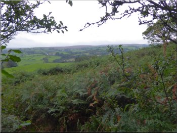
Note: Until the clean up of the English rivers and coast began in earnest in the 1970's the River Esk in the North York Moors was one of the very few remaining salmon rivers in England. Back then all the major estuaries were too polluted for migratory fish to pass
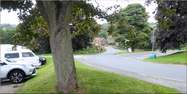
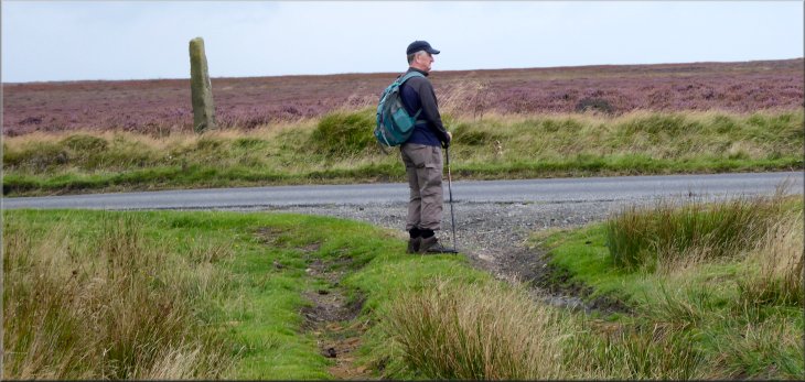
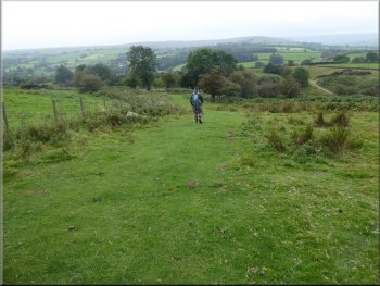
Looking down to Lealholm Bridge from the car park at the road junction in the village
|
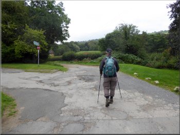
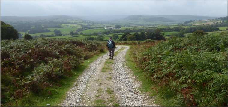
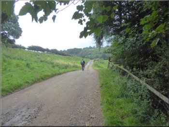
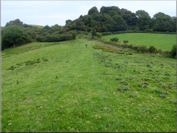
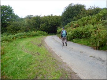
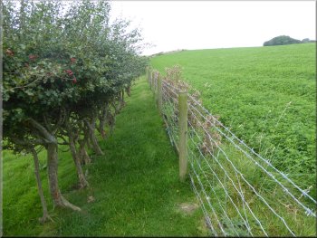
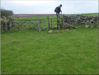
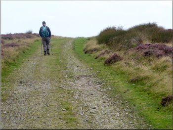
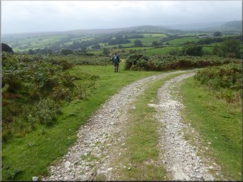
Leaving the car park along the route of the Esk Valley Walk
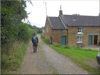
There are public toilets in the car park but they are threatened with closure (such an important facility in an area dependent on tourism). From our parking spot we took the stony access track that runs along the bottom edge of the car park. This is part of the route of the Esk Valley Walk. |
This morning my friend, Jim, & I drove across the North York Moors to Lealholm in the Esk Valley. We parked in the car park at map ref. NZ 763 075 by the road junction in the village just above Lealholm Bridge over the River Esk.
Leaving Lealholm along the route of the Esk Valley Walk
|
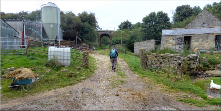
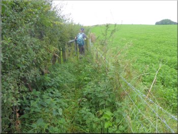
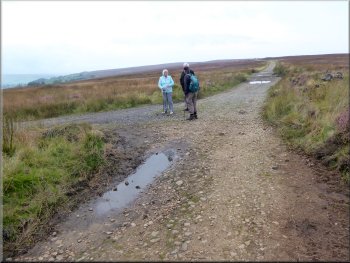
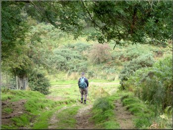
Heading for Underpark Farm along the route of the Esk Valley Walk on the farm access track
|
Esk Valley Walk heading for Underpark Farm
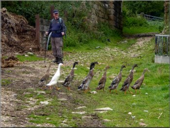
Runner ducks at Underpark Farm
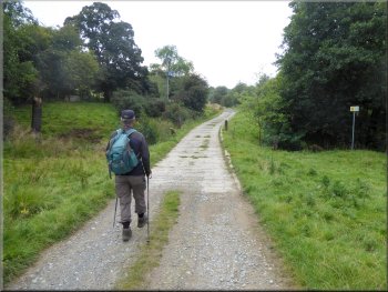
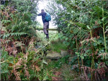
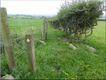
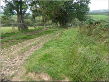
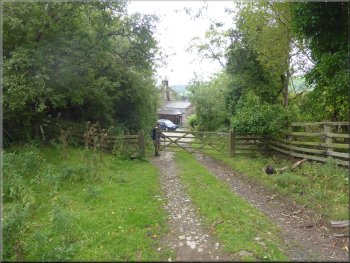
At the entrance to the farmyard the Esk Valley Walk turns right to Glaisdale, but we turned left along a bridleway that goes under the Whitby to Middlesbrough railway.
|
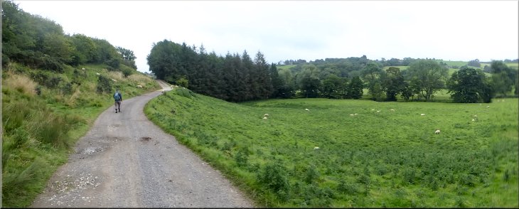
We followed the route of the Esk Valley Walk along this access track for about 1.5km to Underpark Farm at map ref. NZ 771 070. Here there were numerous runner ducks scuttling around the farm yard with their peculiar upright stance.
Esk Valley Walk heading for Underpark Farm

Esk Valley Walk from Lealholm turns right to Glaisdale
at Underpark Farm but we turned left
|
Turning left at Underpark Farm to leave the Esk Valley Walk and pass under the railway
|
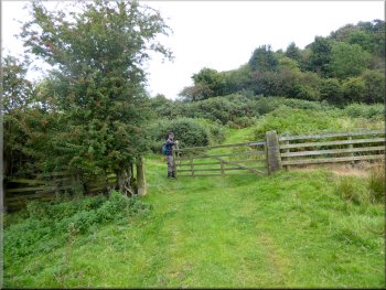
Gate to the fields where the path bends away from the railway
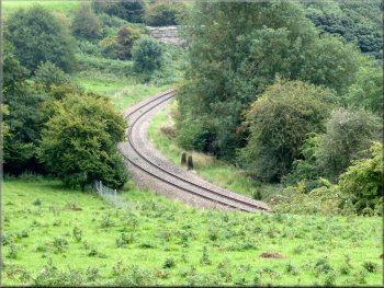
We could hear a distant train but it did not come into view
Climbing across the pasture towards Rake Lane
As we crossed the pasture we could hear the sound of a train in the distance and I was hoping to get a photo of it passing below us around a bend in the railway line. We waited and the sound faded and no train appeared so we continued on our way. |
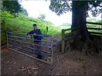
Just beyond the railway we turned right to follow the bridleway up through a small patch of woodland next to the railway. There was a gate at the top edge of the woodland and we continued through the gate and across some pasture land for about 300m to a narrow lane at map ref. NZ 775 072.
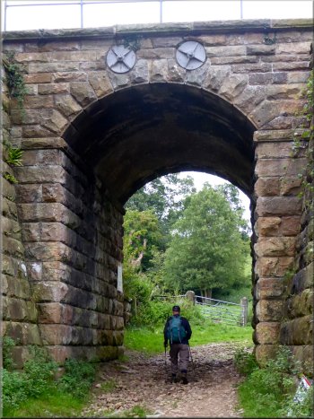
Bridleway passing under the Whitby to Middlesbrough railway
Gate from the pasture land on to Rake Lane
|
Looking back to the Esk Valley just before we reached Rake Lane
|
Following Rake Lane
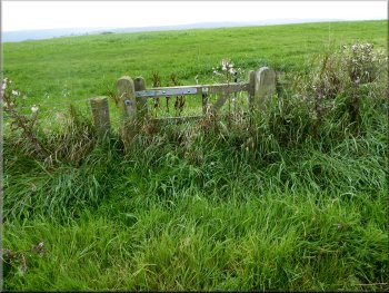
Stile to the field at the top of the bank by Rake Lane
Pretty valley on our right as we climbed up the edge of the field
After about 250m from the Rakes Lane, the head of the little valley was below us on our right. From here the route of the footpath continues across the field to map ref. NZ 774 078 at a bend on a farm access track that leads to Lealholm Hall. There is a little pedestrian gate from the field on to the access track but it is very overgrown and has clearly not been opened for some considerable time. There is however a wide opening on to the track just to the left of this gate as you approach it. |
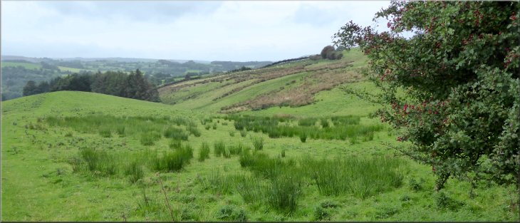
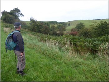
At the lane, called Rake Lane, we turned left and followed the lane down a little valley and started up the other side for about 100m to a public footpath on the right hand side of the lane at map ref. NZ 775 073. We climbed the little bank at the side of the lane to a wooden stile through the hedge into the field at the top of the bank. There was a good view from here looking back across the Esk Valley. We followed the path up the edge of the field with a pretty little valley below us on our right hand side.
Turning right off Rake Lane
Looking across the Esk Valley from the stile by Rake Lane
Overgrown & disused gate on to the lane to Lealholm Hall
|
The path continues here to cross a short wooden bridge over a ditch
|
We crossed the bridge & turned left along the hedge
The path continues along this spiky gap . . .
This is in fact the field with the padlocked steel gate. The official route of the footpath goes between the barbed wire fence line and a line of hawthorn bushes that used to be a hedge. It's very spiky on both sides. We decided to walk on the field side of the hawthorn bushes. I don't think the official route of the path is safe. |
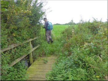
Across the track on the outside of the bend there is a tubular steel field gate that is chained and padlocked. About 15m to the right of this gate in an overgrown corner where the path crosses a short wooden bridge and then the path turns left along a narrow fenced path to a little gate into a field.
Narrow fence path along the hedge
. . . the spiky gap doesn't look any better from the other end
|
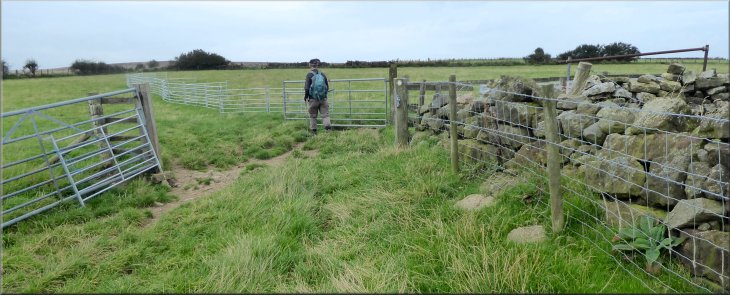
Following the path through the gate & between the sheep hurdles into the next field
|
Crossing the stile into the next field
Track out to the road
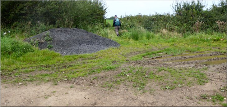
This gate led us into the open access land at map ref. NZ 773 083. Just through the gate there is an access track where we turned left and walked along the access track for about 300m to the road at map ref. NZ 770 086.
|
At the end of this field we passed through a field gate and some sheep hurdles into the next field. Across this field we crossed the stile into the next field and continued along the footpath to a field gate.
Gate from the last field in to the open access land
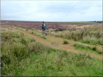
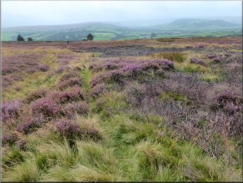
The heather is still a fine sight but starting to fade
|
Turning right to walk along the road
|
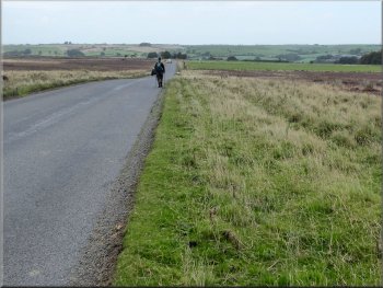
We walked along the road for about 350m
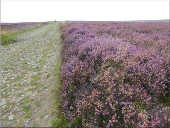
The heather is still a fine sight but starting to fade

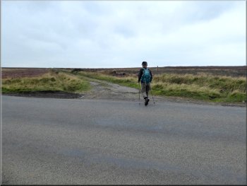
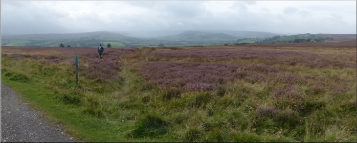
Moorland track heading to Danby Beacon
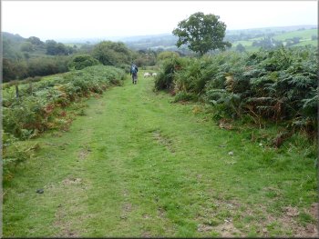
We walked along this moorland track for a little over 1km to a junction in the track at map ref. NZ 762 091. At this junction we turned left and followed the route of the Esk Valley Walk along a moorland track for about 150m. |
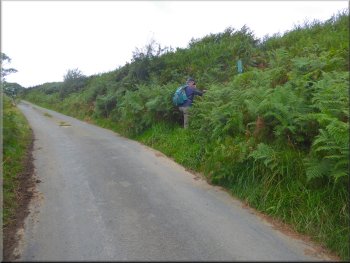
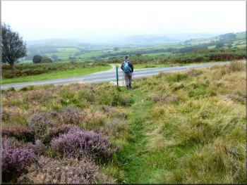
At the road we turned right and walked along the road for about 350m to a stony track on our left that crosses Lealholm Rigg and Lealholm Moor to Danby Beacon. Here we turned off the road to follow the moorland track.
Turning right off the road on to the Lealholm Rigg track
Moorland track heading to Danby Beacon
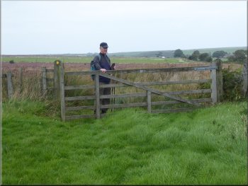
We turned left here on to the route of the Esk Valley Walk
|
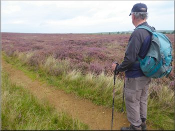
Turning right off the Esk Valley walk route with Great Fryup Dale in the distance
|
Narrow footpath through the heather
We kept straight on where the track bent right to the farm
At the 'T'-junction with this track we turned right
The grassy path along Elm Ridge
We continued down the hillside along the footpath for about 400m to a 'T'-junction with an access track. At this track we turned right and followed the track down into a little valley and up on to Elm Ridge where there was a grassy path along the ridge heading down after about 400m to a road at Lealholm Station.
|
We then turned right off the track on to a narrow footpath through the heather for about 250m to a minor road at map ref. NZ 761 087. We crossed the road and continued following a public footpath along the access track leading to Greystones Farm. Where the access track began to bend to our right, towards the farm, we kept straight on along a grassy path down the hillside.
We followed the path through the heather to a minor road
We followed the grassy track down the hillside
Following the track to Elm Ridge
Gate on to the road at Lealholm Station
|
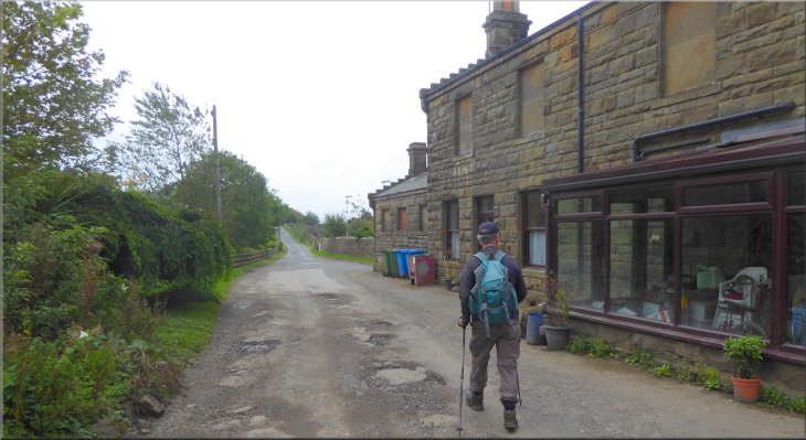
Walking along the road past Lealholm Station
|
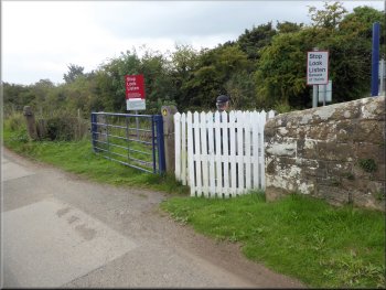
Pedestrian level crossing next to the station
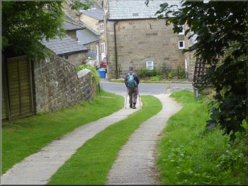
Path from the level crossing to the street in Lealholm
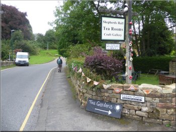
At the street we turned right and walked along the street to a cafe at Shepherds Hall. Here we had our usual coffee & bacon sandwich before returning along the village street to the car park at the end of our walk. The whole route had been about 7km and it had taken us a little over three hours to walk including our cafe stop. |
We walked along the road to a point just beyond the station and then turned right off the road to follow a public footpath over a pedestrian level crossing of the railway. From the level crossing we followed the public footpath along the drive to some houses that brought us to a street in Lealholm next to the village Post Office and opposite the village stores.
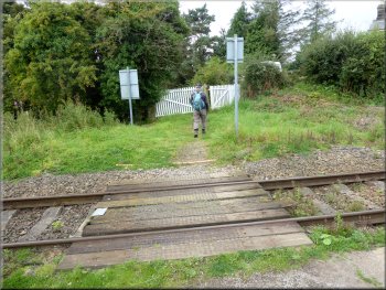
Pedestrian level crossing next to the station
Heading back to the car park after our cafe stop
|

Returning along the village street to the car park at the end of our walk
|