|
2001 walks |
2002
walks |
2003 walks |
2004
walks |
|
2005 walks |
2006
walks |
2007 walks |
2008
walks |
|
2009 walks |
2010
walks |
2011 walks |
2012 walks |
|
2013 walks |
2014 walks |
2015 walks |
2016 walks |
|
2017 walks |
2018 walks |
2019 walks |
2020 walks |
|
2021 walks |
1993-2000 library |
Find a Route Index |
|
A few Routes to print out |
Request a Route... |
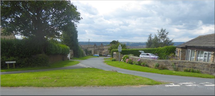
Route No. 682 - Sunday 6 August 2017
Kirkby Overblow, Swindon Grange Farm,
Kearby with Netherby, Marsh La, Barrowby La
8km circuit - Lower Wharfedale . . .
Route map from Ordnance Survey
Open Space service.
Map: OS Explorer 289 Leeds
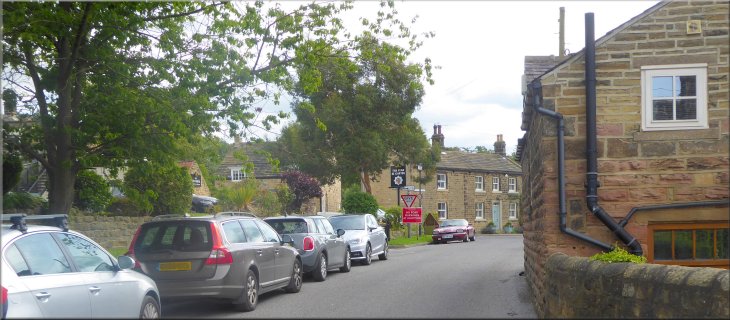
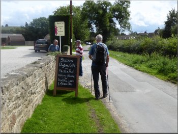
Road side parking in front of the Start & Garter in Kirkby Overblow at the start of our walk
|
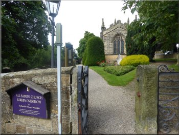
All Saints Parish Church in Kirkby Overblow

Turning left off Swindon Lane
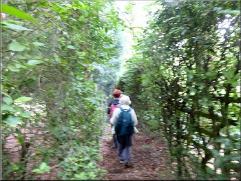
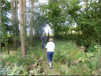
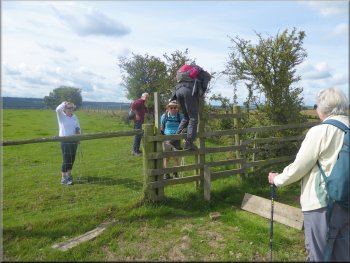
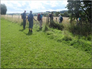
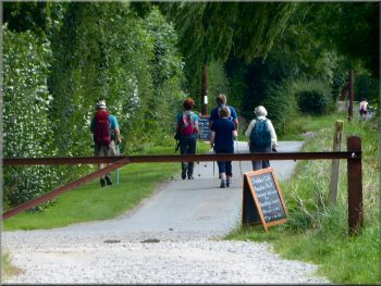
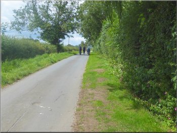
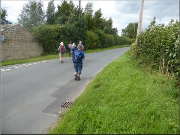
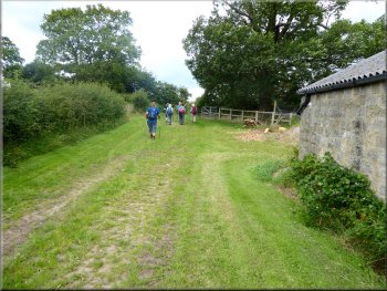
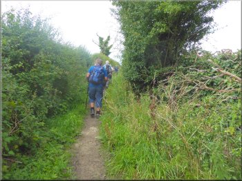
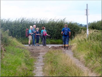
This month our friend Geoff is leading the walk. We set off westwards along the road, called Swindon Lane, from our parking spot for about 200m, then we turned left off the road on to a narrow fenced tree-lined footpath down a slope between the houses & gardens. After about 120m we came to a stile at the bottom edge of the trees. |
This morning we drove to Kirkby Overblow, a village in Wharfedale, about 8km east of Wetherby. We parked on the Swindon Lane in front of the Start & Garter pub next to the village church at map ref. SE 325 491. We met our usual group of friends for our monthly walk together.

Setting off along Swindon Lane from our parking spot
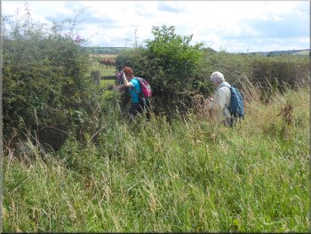
Following the tree lined path down to the fields
|
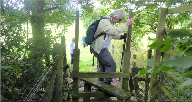
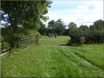
Stile into the fields below Kirkby Overblow
|
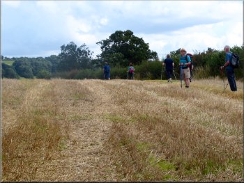
Path from Kirkby Overblow down into Wharfedale
Narrow strip of woodland on the course of a small watercourse
Stile from the grassland into a field of pale blue linseed
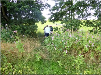
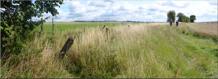
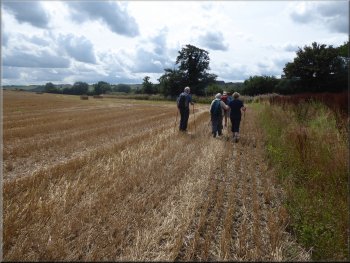
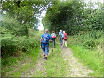
We followed the path up to a stile at the far side of the trees and then we continued in the same direction across four more fields to a road called Spring Lane next to Swindon Grange Farm. |
We crossed the stile and continued down the hill side across several fields to a narrow wooded strip along a small watercourse. We crossed a stile into the trees, crossed a stone slab bridge over the tiny watercourse.
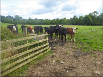
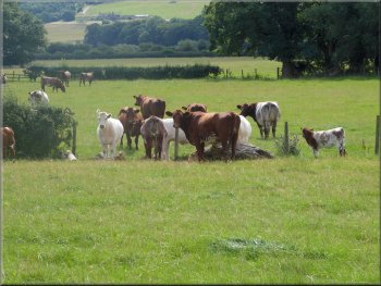
Inquisitive young beef cattle followed us across their field
Stone slab bridge over the tiny watercourse
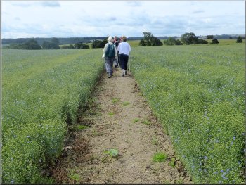
Path through a field of linseed with most of the seed set
|
Trees and water balsam along the course of a stream
|
Stile into the last field before Spring Lane
|
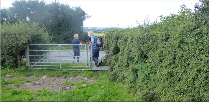
Crossing Spring Lane next to Swindon Grange Farm
|
South westerly path from Spring Lane
Making our way across the cattle field
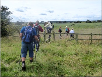
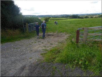
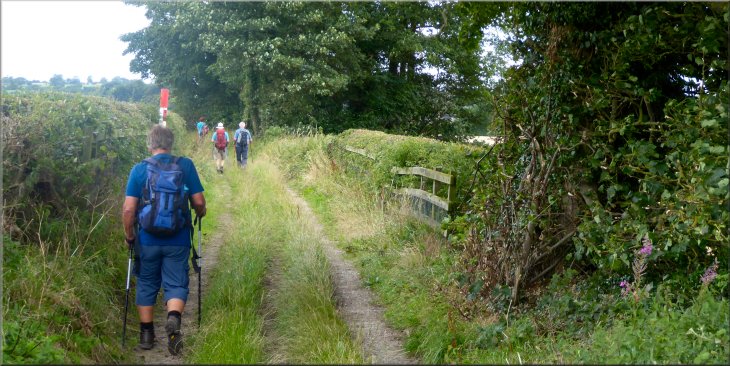
Once over the stile we turned left and continued following a farm track around the edge of a field with a ripening crop of wheat. (Note on my copy of the OS Explorer 289 the public footpath is further out in the field through the crop but we stayed on the farm track avoiding the crop) |
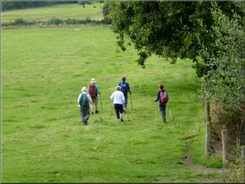
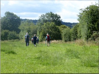
We crossed the road and followed the footpath across three more fields still heading in the same direction from the road in Kirkby Overblow. A couple of the fields along the way had large herds of cattle grazing so it's probably not a good route to take a dog. At map ref. SE 314 470 we came to a stile over the fence.
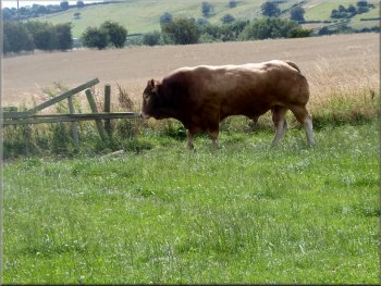
Fine limousin bull in a herd of cattle that we passed
Stile from the cattle field into a standing crop of wheat
|
Stile on the left from the cattle field leading to a farm track around the edge of the wheat field
|
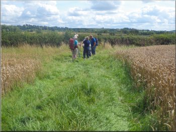
The farm track continued between two fields of wheat
Stile on the public footpath from the wheat field into pasture
Cattle keeping a wary eye on us crossing their field
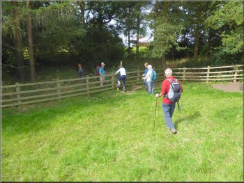
We crossed the stile and we continued across some pasture land with a herd of cattle grazing. We passed through a gateway at the far side of the field into a narrow neck of land and beyond it there was a footbridge at map ref. SE 323 470 over Baffle Beck in the middle of a strip of trees along the beck. |
We followed the farm track along the edge of the field & then between two fields to the hedge at map ref. SE 320 469. Here we turned right following a track around the edge of the field to join the official route of the public footpath at map ref. SE 320 468. Here we turned right and followed the route of the path to a stile in the hedge.
Our right turn at the field end following the farm track
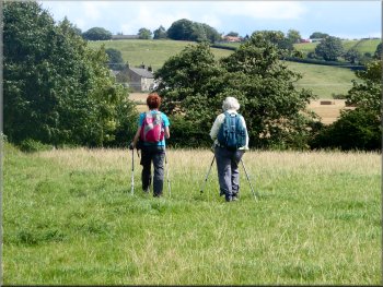
Following the public footpath across the pasture
Crossing the next field to Baffle Beck
|
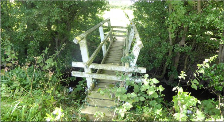
Footbridge over Baffle Beck
|
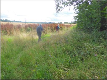
Across the footbridge we came into a large stubble field
Water balsam along the course of Baffle Beck
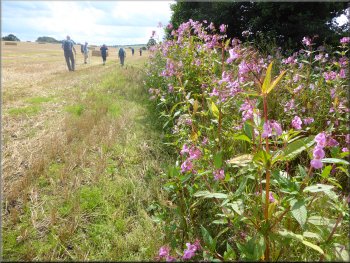
Continuing around the edge of the stubble field
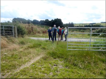
At the steel gates, map ref. SE 328 469, we rejoined the route of the public footpath. We crossed from the stubble field through the pair of steel gates on to a gravel farm access track. We turned left and walked along the farm track for about 250m to the public road called Wharfe Lane at map ref. SE 330 468. |
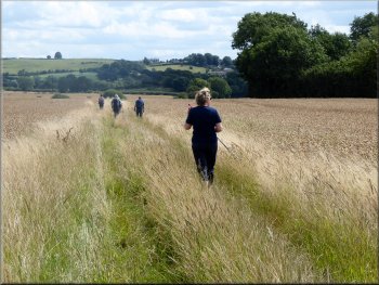
Across the beck there was a stubble field where the cereal crop had recently been harvested. We turned right following the course of the beck around the edge of the field. Again the official footpath goes across the middle of the field on my map but we kept to the field edge until we reach a pair of tubular steel gates on our right.
We followed the edge of the field
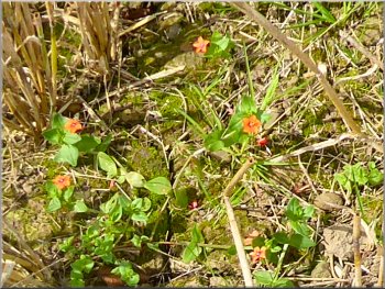
Tiny flowers of scarlet pimpernel amongst the stubble
Leaving the stubble field through a pair of steel gates
|
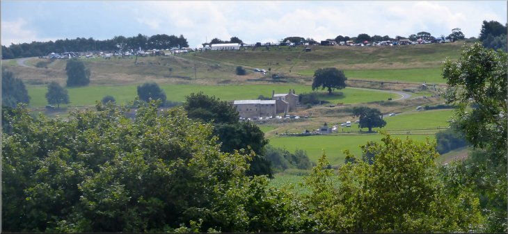
Looking across Wharfedale to Stockton Farm where one of the Harewood Hill Climb events was under way
|
Joining Wharfe Lane from the farm track
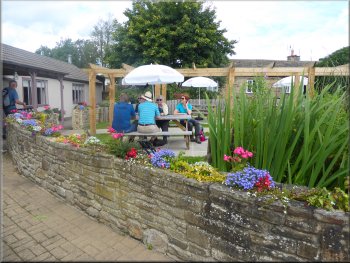
Our coffee stop at the cafe
Crossing Spring Lane from Wharfe Lane to Moor Lane
Here we turned right following the road for about 250m to its junction with Spring Lane at map ref. SE 331 471. We crossed Spring Lane and continued along the road now called Moor Lane, up a steep hill to the hamlet of Kearby with Netherby. |
We joined Wharfe Lane at a right angle bend and here we kept straight on for about 120m to a cafe on the left where we stopped for a welcome cup of coffee. After our coffee break we rejoined Wharfe Lane and returned to the bend where we had first met the road.
The cafe entrance
Walking along Wharfe Lane from the cafe
Climbing Moor Lane towards Kearby with Netherby
|
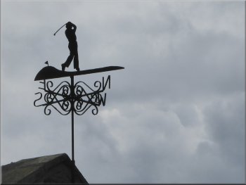
'Golfer' weather vane in Kearby with Netherby
|
Moor Lane at Kearby with Netherby
|
Looking down Moor Lane through Kearby with Netherby from Barrowby Lane
|
Joining Barrowby Lane just above Kearby with Netherby
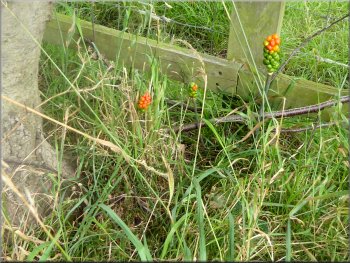
Berries on the cuckoo pint (Arum maculatum) stems
Passing Lund Head to join Marsh Lane
At the end of the lane we came to Lund Head farm and just beyond the farm we came to a track called Marsh Lane. At this lane we turned left and followed the bridleway along this lane out to Barrowby Lane at map ref. SE 329 487. |
Just beyond the hamlet we came to a 'T'-junction with Barrowby Lane and here we turned left to walk along Barrowby Lane. After about 100m we turned off Barrowby Lane to follow a farm access track called Lund Head Lane.

Turning right off Barrowby Lane on to Lund Head Lane

Nearing Lund Head along Lund Head Lane
Marsh Lane leaving Lund Head
|

Marsh Lane from Lund Head to Barrowby Lane
|
Marsh Lane from Lund Head to Barrowby Lane
|
Following Marsh Lane from Lund Head to Barrowby Lane
|
Turning right from Marsh Lane on to Barrowby Lane
Entering Kirkby Overblow along Barrowby Lane
It had been a very pretty route of 8km through the rolling farm land of Lower Wharfedale. The whole route including our coffee stop had taken around three hours. About half an hour of this was taken up with the rest of the group waiting for me to catch up! The old knees are not getting any better. We all went back to Geoff & Lynn's house for one of their legendary barbeques what a treat! |
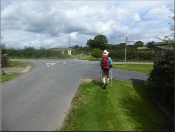
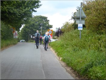
At Barrowby Lane we turned right and walked along the lane back towards Kirkby Overblow. There was some traffic along the narrow lane and we had to keep into the side of the road to allow the cars to pass. We followed the road into the village and back to our road side parking spot at the Start & Garter and the end of our walk.
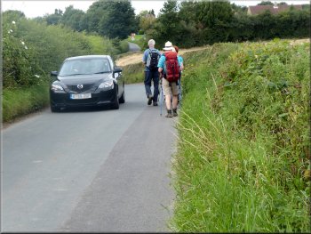
Traffic squeezing past us on Barrowby Lane
Returning through Kirkby Overblow
|

Road side parking in front of the Star & Garter at the end of our walk.
The road signs warn of tar spray & chippings on the road in the coming week
|
Scenes from our walk in Lower Wharfedale
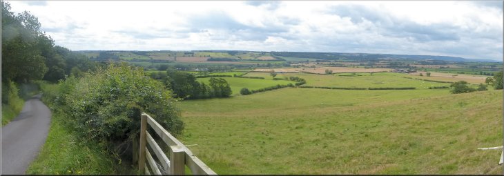
Looking south from Moor Lane just below Kearby with Netherby across Wharfedale to Harewood
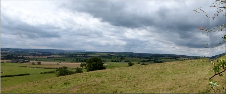
Looking SW from Barrowby Lane just below Kirkby Overblow across Wharfedale to Otley Chevin
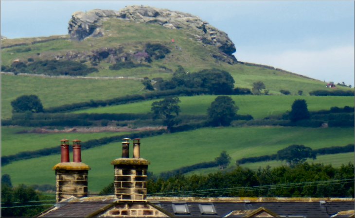
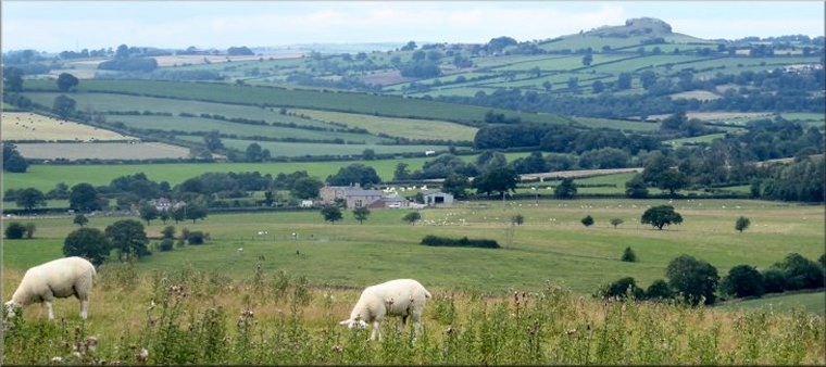
Looking west, from the fields below Kirkby Overblow, over the roofs of Swindon Hall to Almscliff Crag
|