|
2001 walks |
2002
walks |
2003 walks |
2004
walks |
|
2005 walks |
2006
walks |
2007 walks |
2008
walks |
|
2009 walks |
2010
walks |
2011 walks |
2012 walks |
|
2013 walks |
2014 walks |
2015 walks |
2016 walks |
|
2017 walks |
2018 walks |
2019 walks |
2020 walks |
|
2021 walks |
1993-2000 library |
Find a Route Index |
|
A few Routes to print out |
Request a Route... |
Route No. 679 - Thursday 13 July 2017
Lay-by 1.5km NE of Felixkirk, Cinque Cliff House,
Thirlby, Tang Hall, Cinque Cliff Wood, - 7km
Hambleton Hills . . .
Route map from Ordnance Survey
Open Space service.
Map: OS Explorer OL26 North York Moors Western area
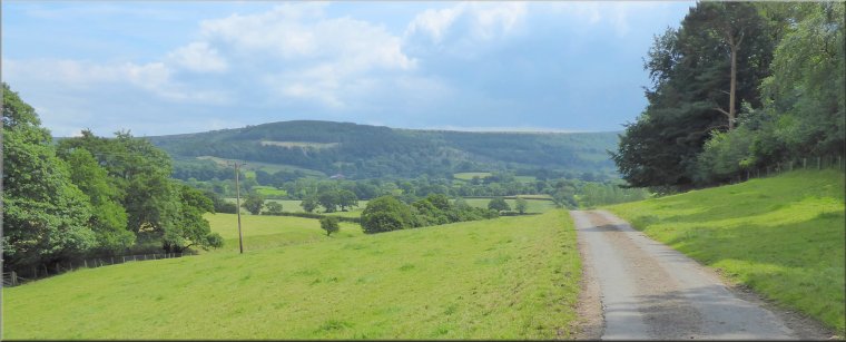
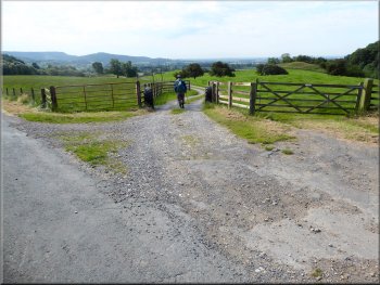
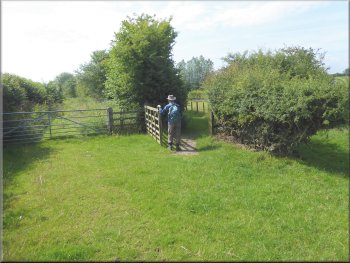
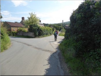
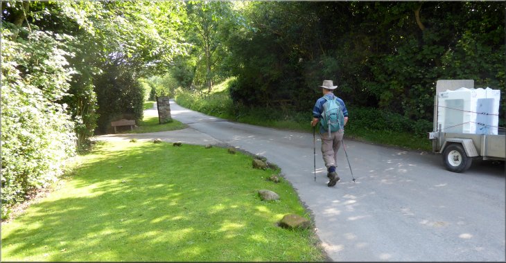
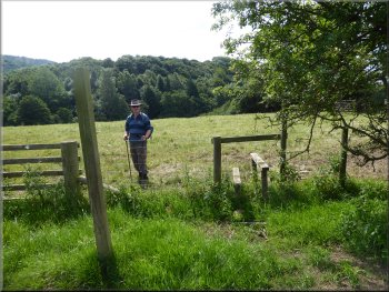
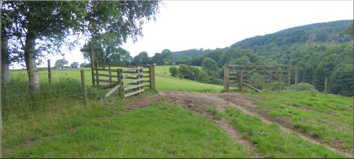
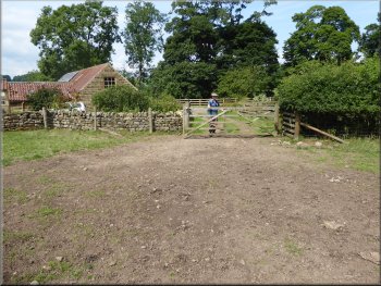
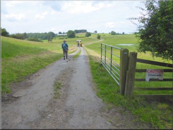
The start of our walk at a lay-by about 1km NE of Felixkirk at map ref. SE 475 855
|
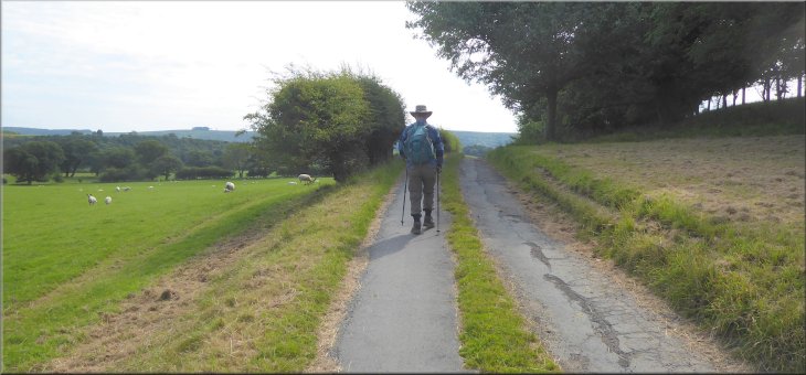
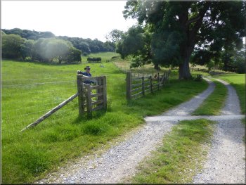
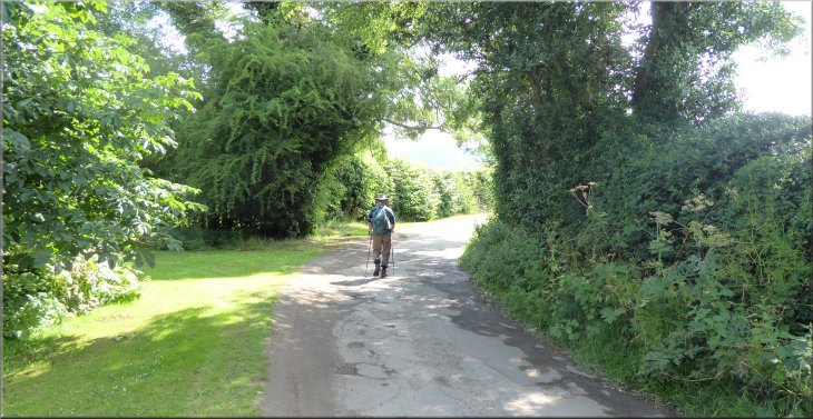
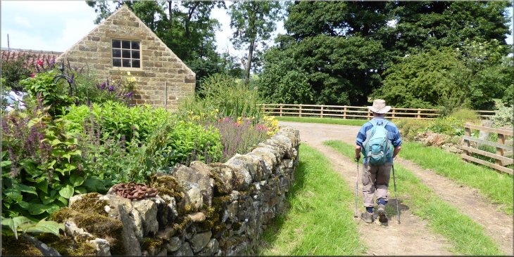
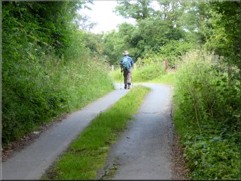
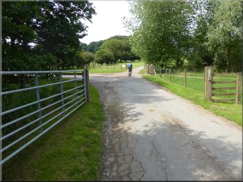
Following the road towards Felixkirk from our parking spot
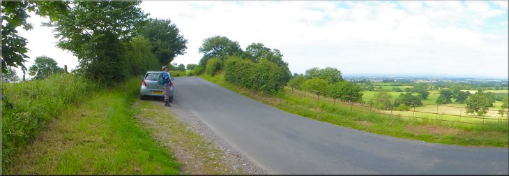
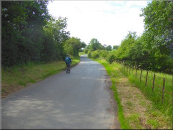
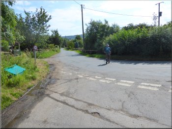
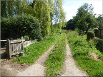
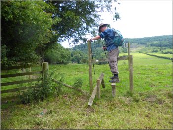
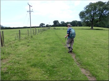
The weather was perfect with warm sunshine, blue sky, fluffy clouds and no wind to speak of. We set off from the lay-by heading southwards along the road towards the village of Felixkirk. After about 200m along the road we came to a cattle grid on our left across a farm access track. This track is in fact an old byway with a right of way along it. Here we turned left off the road and walked along the old byway. |
This morning my friend, Jim, and I drove out to a little gravel lay-by about 1km NE of Felixkirk at map ref. SE 475 855 in the foothills of the Hambleton Hills about 5km NE of the market town of Thirsk. From our parking spot the scenery was lovely before we had even started our walk, with a view westwards across the Vale of Mowbray towards the Yorkshire Dales.
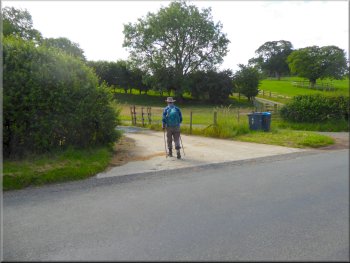
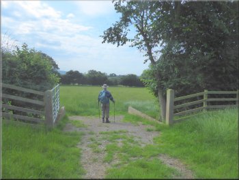
Turning off the road on to an old byway
|
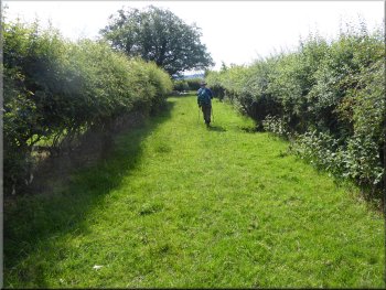
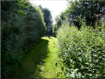
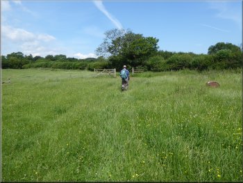
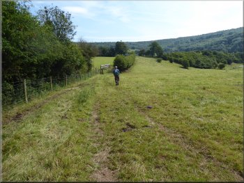
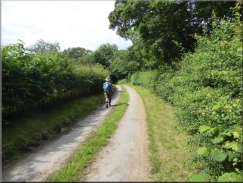
Following the byway across the fields
|
Following the byway across the fields
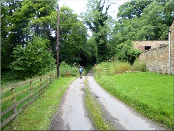
Bridleway along a farm track to Cinque Cliff House
Bridleway by-passing Cinque Cliff House to the east
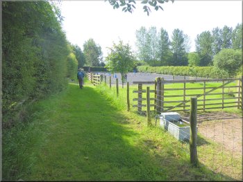
We followed this bridleway almost to Cinque Cliff House, then the bridleway was diverted left to by-pass the house to the east. At this time of year, the height of summer, the grass was tall and ready to cut for winter feed. After about 250m the bridleway cut back across a sheep pasture to rejoin the grassy farm track about 200m south of Cinque Cliff House. |
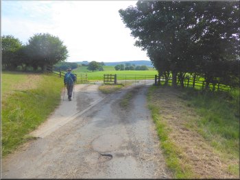
We followed the track along the edge of a large field full of sheep grazing and after about 200m we came to a cattle grid at the field boundary. We crossed the cattle grid and after another 80m we came to a turning to our right on to a bridleway running along a farm access track leading to Cinque Cliff House.
Turning off the byway onto a bridleway to Cinque Cliff House
Turning off the farm track to by-pass Cinque Cliff House
Bridleway by-passing Cinque Cliff House to the east
|

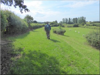
View across the fields to Roulston Scar 4.5km to the south east
|
Bridleway along a grassy farm track towards Thirlby Grange
Bridleway moved to the right to bypass Thirlby Grange
Bridleway bypassing Thirlby Grange
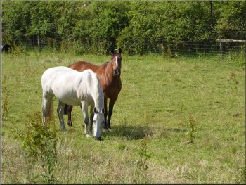
There was a horse schooling area on the right of the track where a rider was putting her mount through its paces. We continued along this grassy track to the road just beyond Thirlby Grange. At the road we turned left to walk along the road towards Thirlby. |
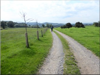
We continued following the bridleway along the grassy track for about 400m to a point about 100m before Thirlby Grange at map ref. SE 482 842. Here the bridleway moved to our right through a wooden field gate to by-pass Thirlby Grange.
Bridleway along a grassy farm track towards Thirlby Grange
Horses at Thirlby Grange
Bridleway about to join the road at Thirlby Grange
|
The road towards Thirlby from Thirlby Grange
|
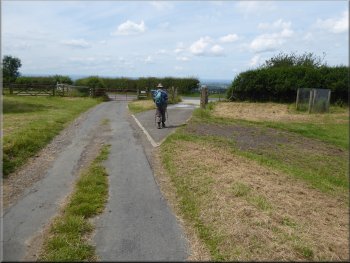
Approaching the road junction at the edge of Thirlby
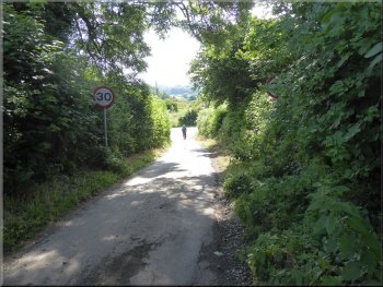
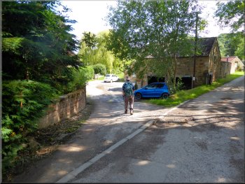
The road through Thirlby village
The main road turns left to Boltby but we kept straight on
We continued along the road for about 150m to the next road junction where the main road turns left to Boltby but we kept straight on. We ignored the right turn across the ford over Thirlby Beck and after another 50m the lane we were following bent to the left past a substantial stone pillar beside the road. |
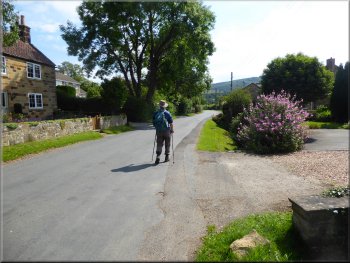
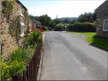
After about 300m we came to a road junction where we turned left and followed the road through Thirlby village. About 400m from the road junction at map ref. SE 489 840 on the right hand side of the road there is the Thirlby Village Hall with a small parking area in front of it. (Parking may be available here by arrangement with the bookings secretary ?)
Turning left at the road junction on the edge of Thirlby
The village hall with its lay by in Thirlby
The lane at the eastern end of Thirlby
|
The lane bent left past a substantial stone pillar on the road side
|
We turned left through Thirlby Farm
The track climbed up round a grassy mound to the field top
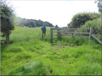
We turned right through the hedge with a gate on both sides
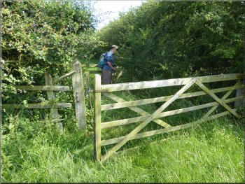
The hedge turned out to be quite wide with a kissing gate on the far side of the hedge, all a bit over grown. We continued heading northwards along the edge of the field. There was a large herd of beef cattle with numerous young calves in the field on our right. We followed the footpath around a field corner to our right and continued along the field edge to a small stone barn at map ref. SE 495 845. |
After another 100m the road ahead became a private access road and we turned left through Thirlby Farm and from the farm we followed a public footpath along a track climbing up around a grassy mound. At the top of the field we passed through the gate into the next field and then turned sharp right to a gate in the hedge.
We followed a public footpath along a track from the farm
At the field top we passed through the gate into the next field
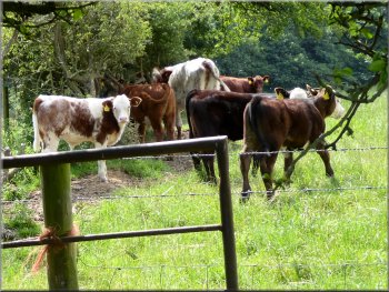
Herd of cattle with calves in the next field
|
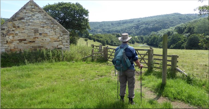
We came to a small stone barn where the path crossed to the other side of the fence
|
We crossed the stile to walk along the other side of the fence
We crossed the stile in the far left hand corner of the field
We continued along the top edge of the field to a stile in the north east corner of the field at map ref. SE 497 845. We crossed this stile and kept to the left hand edge of the field next to a small wooded area. After about 100m from the stile we came to the end of the wooded area where we turned left through a gateway and joined a bridleway.
|
Just before the barn there was a stile where the path crossed the fence to continue along the other side of the fence. The herd of cattle that we had seen across the hedge also had access to this field but were not there as we crossed the stile. We followed the path along a line of sturdy square posts along the hedge.
We walked along the field edge to the far left hand corner
Over the stile we kept to the wooded field edge
|
At the bottom of the wood we joined the track and turned left through the gate
|
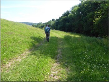
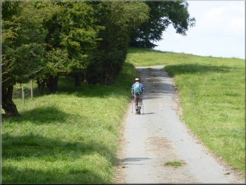
Following the bridleway north along the field edge
Crossing the field down to Tang Hall
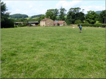
We passed through the gates into a field sloping down to Tang Hall farm. There was no clear path across the field but we headed down to a gate at the bottom left hand corner of the field next to the farm following the route of the bridleway. We passed through the gate and out along a short farm track to the road in front of Tang Hall farm. |
Through the gate we followed the bridleway west for about 25m to the corner of the field and there turned right to continue along the bridleway heading north along the edge of the field. After about 300m we reached the end of the field where there were gates on both sides of the hedge.
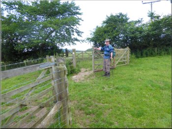
We passed through the gates on both sides of the hedge
Gate at Tang Hall leading out to the road (byway)
|
Short track out to the road (byway) at Tang Hall
|
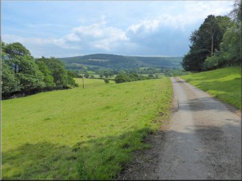
Following the byway from Tang Hall
Following the byway past Ravensthorpe Mill
Byway climbing up from the ford
From the ford we followed the old byway for another 250m to the road at map ref. SE 491 850. At the road we kept straight on heading west for about 250m to a sharp left hand bend in the road. On the crown of the bend we kept straight on along a continuation of the old byway. |
Here we turned left and followed the road (an old byway). We continued along the old byway passed the buildings at Ravensthorpe Mill and across the ford over Gurtof Beck. There is a footbridge over the beck but the ford is normally dry with the beck flowing under the road.
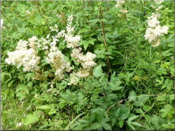
Meadow Sweet on the road side
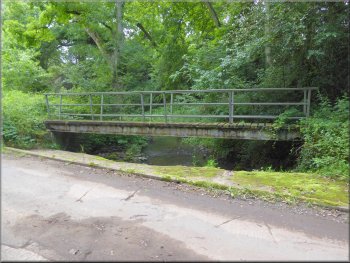
Ford & footbridge over Gurtof Beck

Joining the road at map ref. SE 491 850
|
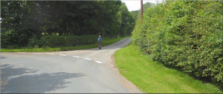
Leaving the road at a sharp left hand bend to continue straight ahead along the old byway
|
The old byway passing the entrance to Cinque Cliff Grange
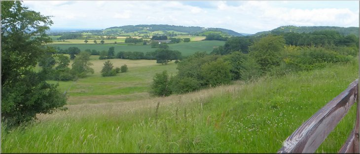
Looking back to the Hambleton Hills from Cinque Cliff Wood
About to join the road at the end of the byway
From here we retraced our outward route back to the road where we turned right and walked along the road back to the car and the end of our walk. It had been a pretty walk of about 7km through the rolling farmland in the foothills of the Hambleton Hills. The whole walk had taken us a little over two and a half hours.
|
The byway climbed slowly up next to Cinque Cliff Wood with a lovely view of the ridge of the Hambleton Hills behind us. We continued along the byway through the fields to the track on our left where we had turned down towards Cinque Cliff House on our outwards route.
The old byway climbing up along the edge of Cinque Cliff Wood
Byway passing through the fields from Cinque Cliff Wood
Nearing the car at the end of our walk
|
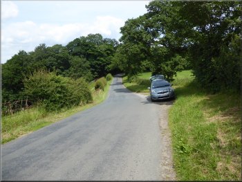
Looking north west towards Upsall from the road near our parking spot
|