|
2001 walks |
2002
walks |
2003 walks |
2004
walks |
|
2005 walks |
2006
walks |
2007 walks |
2008
walks |
|
2009 walks |
2010
walks |
2011 walks |
2012 walks |
|
2013 walks |
2014 walks |
2015 walks |
2016 walks |
|
2017 walks |
2018 walks |
2019 walks |
2020 walks |
|
2021 walks |
1993-2000 library |
Find a Route Index |
|
A few Routes to print out |
Request a Route... |
Route No. 660 - Thursday 16 March 2017
Brandsby, Peel Park, Well Lane,
Beckfield House, Brandsby circuit - 8km
Howardian Hills . . .
Route map from Ordnance Survey
Open Space service.
Map: OS Explorer 300 Howardian Hills & Malton

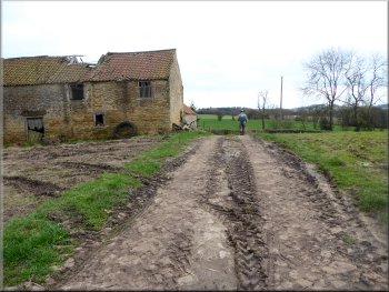
Children's playground by the car park at Brandsby village hall - 'Cholmeley Hall'
|
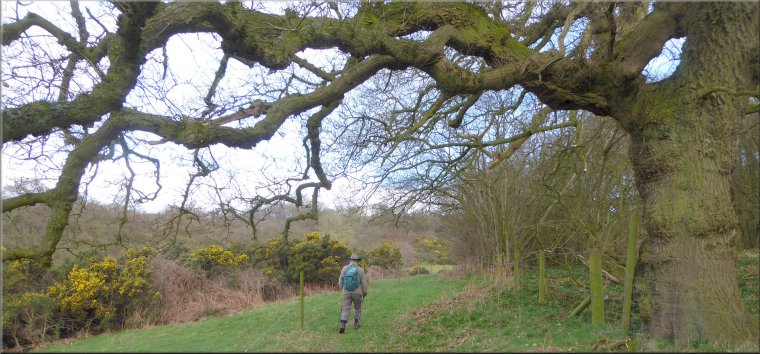
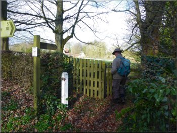
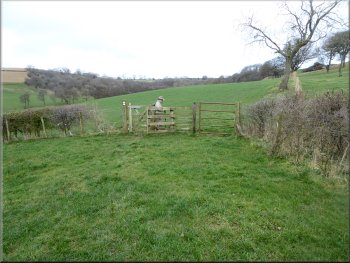
Path from the village hall to the B1363 in Brandsby
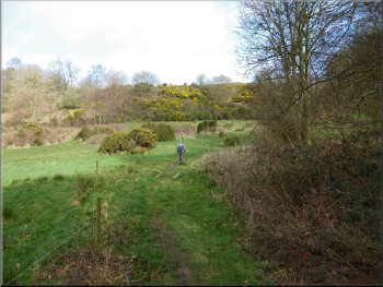
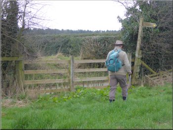
A small voluntary donation is requested and for groups of walkers the toilet facilities at the hall can be made available. We left the hall via a kissing gate at the south western end of the building and followed a public footpath up the field behind the hall to the B1363 running through the village. |
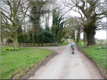
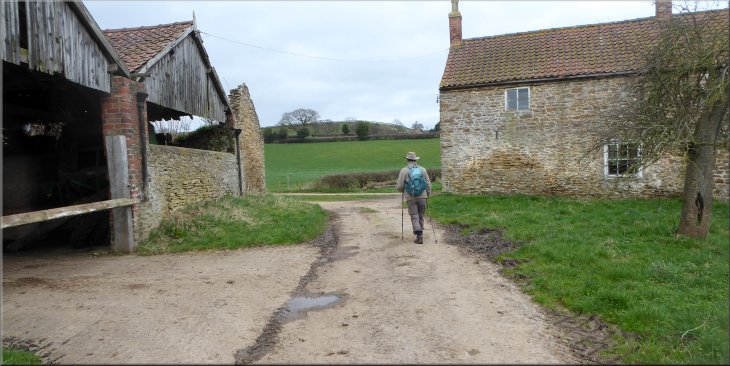
This morning my friend, Jim, and I drove to Brandsby village hall known as Cholmeley Hall just a few kilometers from home in the Howardian Hills at map ref. SE 588 725. The bookings secretary for the hall can be contacted via the village hall web site and parking is permitted at the hall.
Gate from the field path on to the B1363 in Brandsby
|
Looking back from the B1363 in Brandsby to the village hall
|
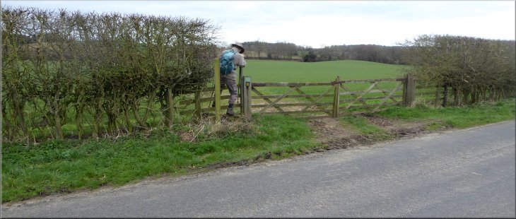
Turning right off the B1363 opposite Town Street junction
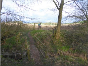
Footbridge over Brandsby Beck
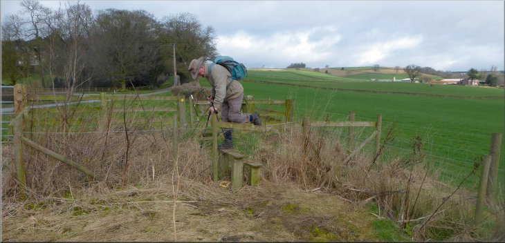
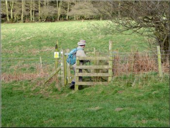
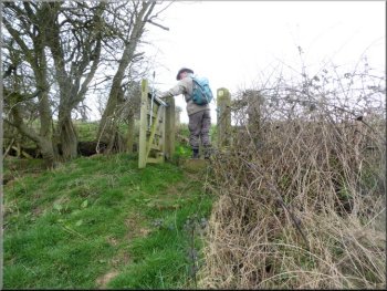
The final 30m to this gate was across a very waterlogged and boggy area with an old boardwalk along the field edge to avoid the worst of it. Through the kissing gate the path dropped down to cross a footbridge over Brandsby Beck. Once across the beck we crossed a stubble field where the straw was still lying on the ground. We followed the path to a stile at the road (map ref. SE 584 725). |
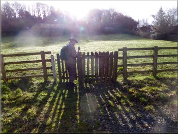
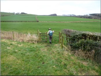
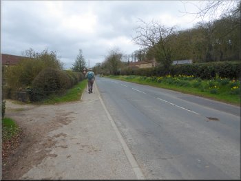
At the road we turned right and walked along the road, through the village for about 200m. Here there is a road junction on the left with Town Street. Opposite Town Street on our right there was a kissing gate into the field. The route of the public footpath goes roughly diagonally across the field to another kissing gate at the far end.
The field path leaving Brandsby
Crossing a stubble field to re-join the road
|
Stile leading us to the Brandsby to Crayke road
|
Start of the old by-way that we followed
Kissing gate where the path crosses Brandsby Beck
Path up the hill side away from Peel Park
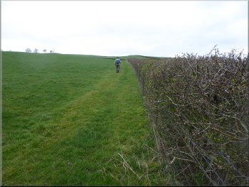
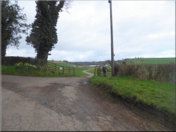
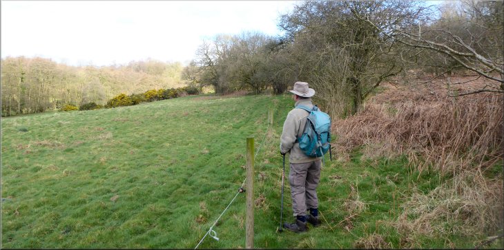
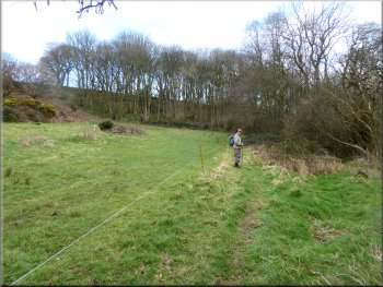
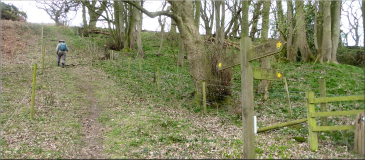
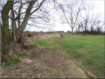
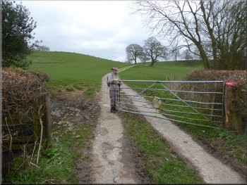
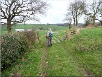
Through the gate we continued along the edge of the field, now with the fence on our left, until we had Peel Park on our left. At map ref. SE 584 730 the public footpath turned right and we followed it directly up the hillside to the hedge at the top of the field. At the hedge next to a field gate there was a finger post showing a junction in the footpaths here. |
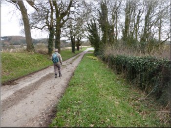
There is a right angle left hand bend in the road here but we kept straight on along an old by-way that serves as a farm access road. After about 150m along this by-way we turned right at the access road to Peel Park farm, on to a public footpath. We followed the footpath along the right hand edge of the field to a kissing gate through the fence where the path crosses Brandsby Beck (the beck is little more than an overgrown field ditch here).
Turning off the old by-way at the entrance to Peel Park
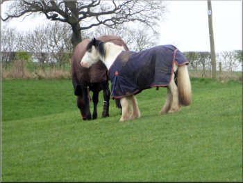
Horses in their winter coats by the path
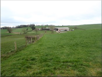
Looking back down the hillside to Peel Park
|
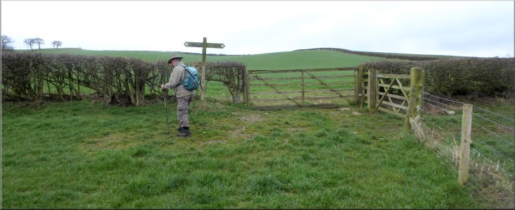
At the top edge of the field we turned left at the finger post
|
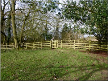
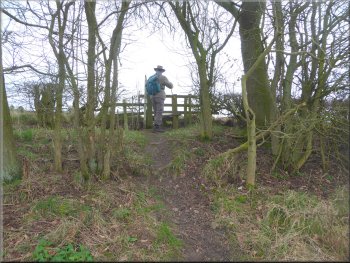
Kissing gate in to the next field
From this point the route of the path (I say the route because there is not much sign of a path on the ground here) leads down the slope as it crosses the field to the bottom edge of some woodland at map ref. SE 583 735. There is yet another kissing gate here to a well worn path along the edge of the woodland. The path was bounded by a strand of electric fencing wire.
|
At the finger post we turned left and walked along the edge of the field with the hedge on our right. When we came to the end of the field we passed through another kissing gate into the next field. Here the route of the path crosses the field climbing up to the edge of a wood at the field boundary.
Kissing gate to a path along the edge of a wood
|
The path along the edge of the wood was marked by a single strand of electric fencing wire
|
|
Head of the valley of Brandsby Beck
We followed the path through the gorse scrub and woodland with a short steep climb up to the top of the land at the head of the valley. From here there was a pleasant view down the valley towards Brandsby. |
The path was leading towards the head of the valley of Brandsby Beck. It's a wooded amphitheatre with lots of gorse in flower. The path continued to be marked by the strand of electric fencing wire.
Head of the valley of Brandsby Beck
|
Short steep climb out of the head of the Brandsby Beck valley
|
Following the path towards Well Lane
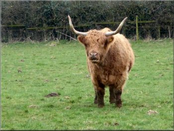
There was a small herd of Highland Cattle next to the path
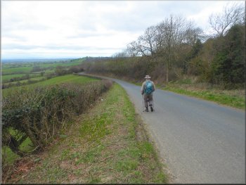
Following the road down Yearsley Bank
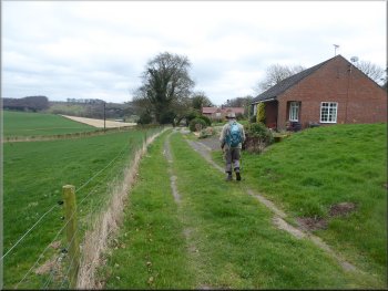
There is a fine view from here over the Vale of York and on a clear day out to the Yorkshire Dales. We walked down the road and at the bottom of the steep part of the hill we came to the route of the Foss Walk where it crosses the road going from Burton House to Beckfield House. |
We continued along the footpath out to Well Lane at map ref. SE 581 742. At the road we turned left away from the village of Yearsley and followed Well Lane to the top of Yearsley Bank. Strictly speaking Yearsley Bank refers to the hillside and the road down/up Yearsley Bank is called Milking Hill.
The stile on to Well Lane
An array of signs on the stile at Well Lane
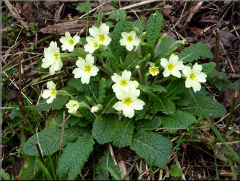
Primroses on the road side
|
Turning left off the road to follow the route of the Foss Walk
|
Following the Foss Walk towards Beckfield House
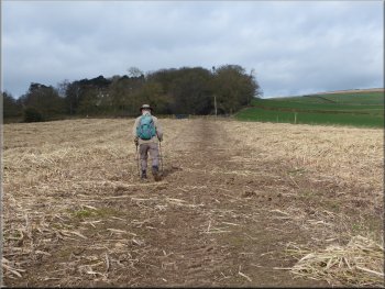
Following the Foss Walk across a ploughed field
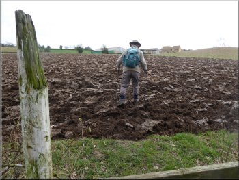
It's possible to avoid the path across these fields altogether by simply keeping on the road for another 300m and then turning left off the road to follow the access road to Beckfield House. At Beckfield House we came to the western end of the by-way we had joined near Brandsby at the start of our walk. |
At map ref. SE 567 736 we turned left off the road to follow the Foss Walk across the fields to Beckfield House. Part of one field had been ploughed very recently and was a bit awkward to cross.
Following the Foss Walk towards Beckfield House
Nearing Beckfield House along the Foss Walk route
|
Following the old by-way past Beckfield House
|
The old by-way from Beckfield House towards Brandsby
The old by-way from Beckfield House nearing Brandsby
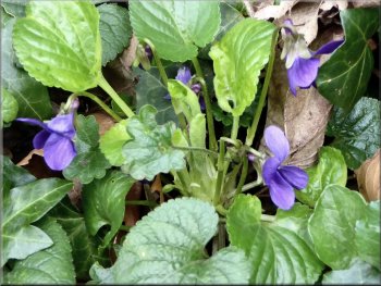
Violets by the road in Brandsby
The whole walk had been about 8km and it had taken me almost 3 hours to walk. We stopped at the Dutch House cafe between Brandsby and Crayke for a light lunch on our way home. It had been a very pleasant morning out.
|
We followed this by-way through some pleasant rolling countryside for about 1.4km to the entrance to Peel Park at map ref. SE 582 726. From here we retraced our steps back into Brandsby village and back to the village hall and the end of our walk.
The old by-way from Beckfield House towards Brandsby
The old by-way leading down to the road near Brandsby
The road in Brandsby heading back to the village hall
|
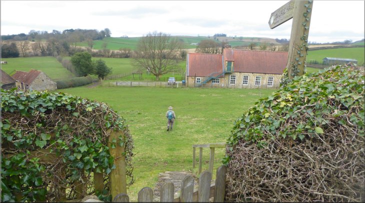
Returning to the village hall from the b1363 at the end of our walk
|