| 2001 walks | 2002
walks | 2003 walks | 2004
walks |
| 2005 walks | 2006
walks | 2007 walks | 2008
walks |
| 2009 walks | 2010
walks | 2011 walks | 2012 walks |
| 2013 walks | 2014 walks | 2015 walks | 2016 walks |
| 2017 walks | 2018 walks | 2019 walks |2020 walks |
| 2021 walks | 1993-2000 library | Find a Route Index |
| A few Routes to print out | Request a Route... |
Route No. 630 - Thursday 14 July 2016
Square Corner(car park), Black Hambleton,
Cleveland Way, Arden Great Moor,
Dale Head farm(ruin) circuit - 10km
North York Moors . . .
Route map from Ordnance Survey
Open Space service.
Map: OS Explorer OL26 North York Moors Western area
Looking down Oak Dale towards Osmotherley from the car park at Square Corner
|
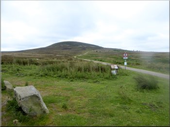
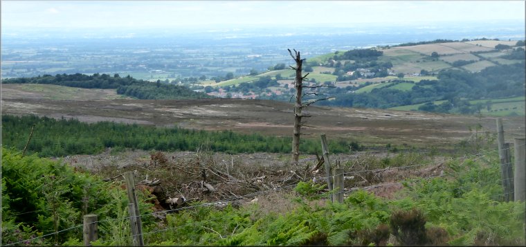
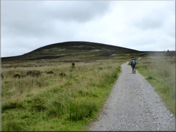
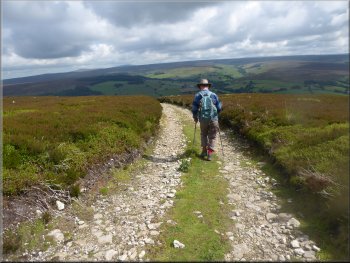
Black Hambleton seen from the Square Corner car park

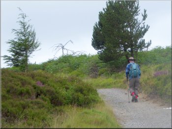
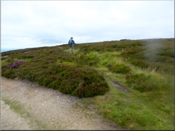
Following the Cleveland Way up Black Hambleton
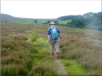
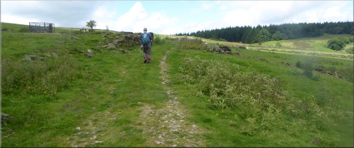
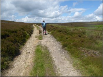
From the car park we followed the route of the Cleveland Way heading southwards climbing up the hill called Black Hambleton. The route runs along a stony track called the Hambleton Drove Road that was originally used by cattle drovers bringing cattle from the north to markets at various towns further south. About a kilometer along the road to the north is a building called Chequers on the map. This was the Chequers Inn, used by the drovers bringing their cattle south. |
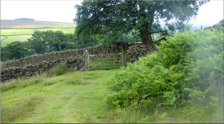
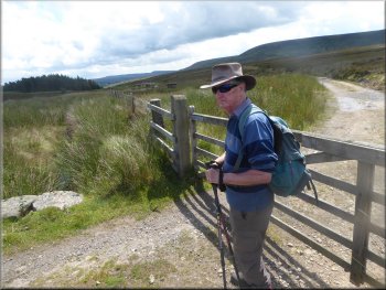
It was bright and sunny this morning with a good forecast for the rest of the day. My friend, Jim, and I drove to a little car park at Square Corner, map ref. SE 480 959. It's about 3km by road from Osmotherley along a very scenic narrow road heading to Hawnby. We reached the car park just after 9am and started our walk at about 9.15.
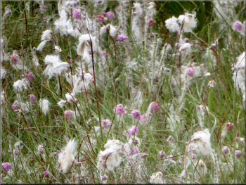
One of many large patches of cotton grass
The Cleveland Way following the route of the
old Hambleton drove road up Black Hambleton
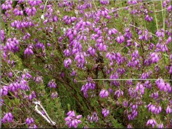
Bell heather coming into flower, a month before the Ling
|
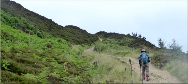
Continuing along the Cleveland Way climbing up Black Hambleton along the top edge of Silton Forest
|
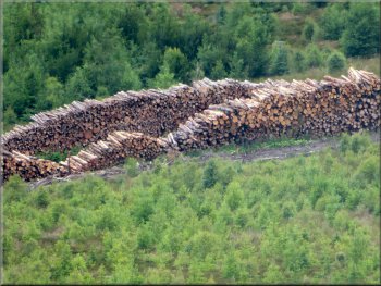
Part of a stack of timber about 100m long below us
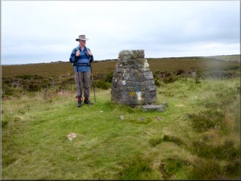
The trig point on top of Black Hambleton
A few metres beyond the cairn there was a track off to the left that lead us to the trig point on Black Hambleton at 399m. From the trig point we retraced our steps back to the Cleveland Way and continued heading roughly south east across the moor with good views all around us. |
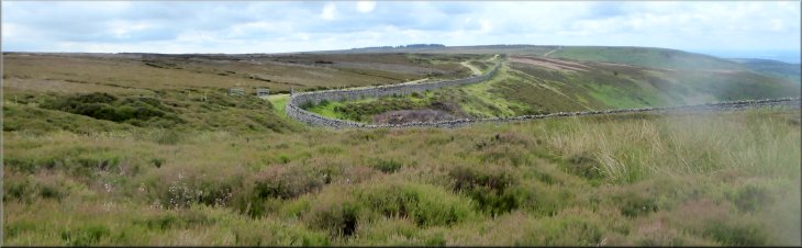
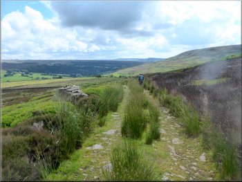
We followed the stony track climbing up Black Hambleton along the edge of Silton Forest. A large area of forest had been felled and below us we could see a huge stack of timber waiting to be transported away. At the top of the climb there was a large cairn to the left of the track.
Turning off the Cleveland Way to inspect the trig point
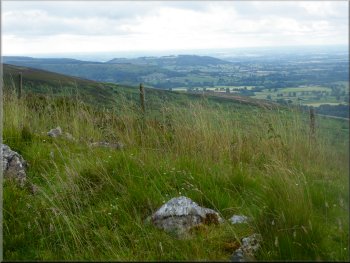
View south from the Cleveland way on Black Hambleton
|
Looking southwards along the Hambleton Drove Road from our turning northwards onto Arden Great Moor
|
Turning off the Cleveland Way onto Arden Great Moor
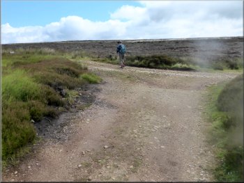
After about 400m the track began to bend round to our right and we continued in an arc around the moor top above Locker Bank for about a kilometer to map ref. SE 501 934. |
At map ref. SE 490 931 the track turns right heading south and the old drove road can be seen winding its way across the moor. At this point we turned left off the old drove road to follow a stony track heading northwards across Arden Great Moor.
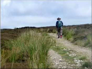
Track across Arden Great Moor
|
Turning off the track around Arden Great Moor to drop down Locker Bank
|
Starting down Locker Bank
Continuing on the track down towards Wheat Beck
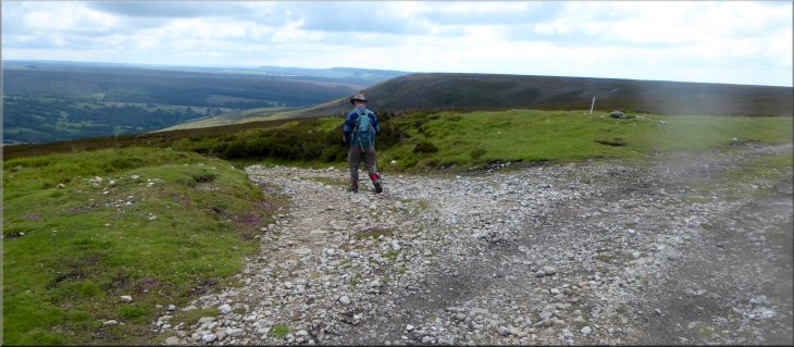
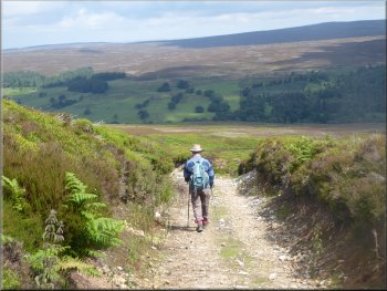
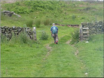
The track continued down the hillside a few metres to the west of a dry stone wall. After another 700m, at map ref. SE 507 944, we turned left to follow a bridleway that came from a field gate on our right. |
Here we turned left to follow another stony track down Locker Bank. After about 600m the track bent round to our right and after another 300m the track bent round to our left.
Following the track down Locker Bank
Continuing on the track down towards Wheat Beck
|
The path follows the wall down the hillside and at the gate it turns left to follow a bridleway towards the camera position
|
Following the bridleway across the moor
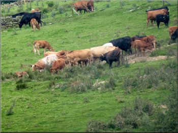
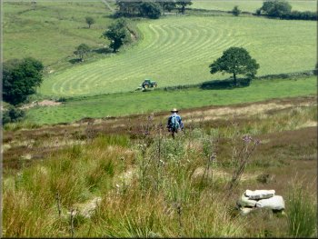
Beef cattle grazing on the far side of Wheat Beck
There was a large herd of beef cattle grazing on the hillside opposite. After about 1km we came to a bridge across Bawderis Beck just before this beck joins Wheat Beck in the valley bottom.
|
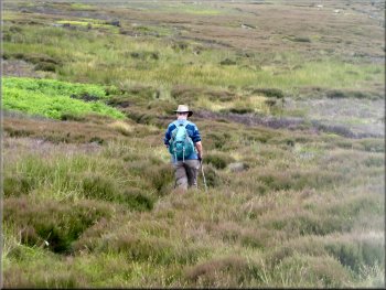
We walked along the bridleway across the moor with a view of Arden Great Moor and Black Hambleton above us to our left. To our right we were looking across the valley of Wheat Beck.
Following the bridleway across the moor

Beef cattle grazing on the far side of Wheat Beck
|
Approaching the bridge over Bawderis Beck
|

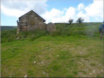
Dale Head farm seen from Locker Bank. Our route comes up
the hill to the ruin on the right and follows the track to
the red outbuilding and out top left of the photo
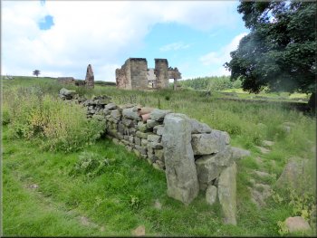
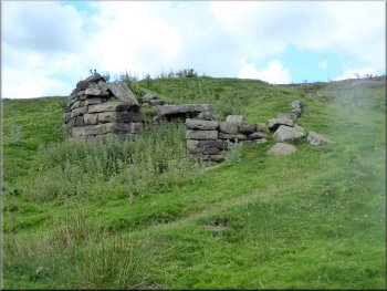
The ruins of Dale Head farm
At the ruins of the outbuildings the bridleway turns right and follows the grassy farm access track initially heading north west. |
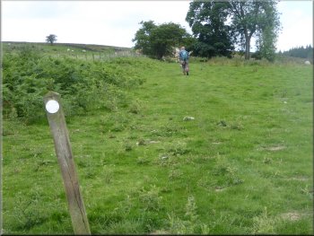
From the bridge we followed the bridleway across the fields climbing up the hillside to the ruins of Dale Head farm. The bridleway goes past the ruined farm house and up to the gable end of the ruined outbuildings.
Climbing up from the bridge over Bawderis Beck to Dale Head
Turning right at the gable end of the ruined outbuilding
|
Following the track out of Dale Head farm
|
Access track out of Dale Head farm
The track from Dale Head farm out to the road
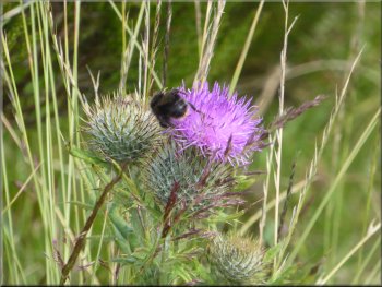
Bumble bee on a thistle flower by the track
We walked along the farm access track for about 1km to the road at map ref. SE 488 955. |
As we left Dale Head farm we passed the remains of an old round lime kiln with the hearth & its lintel clearly visible.
Old lime kiln by the track leaving Dale Head farm
The track from Dale Head farm out to the road
Looking back along the track to Dale Head as we neared the road
|
Turning left at the end of the track to walk along the road towards the Square Corner car park
|
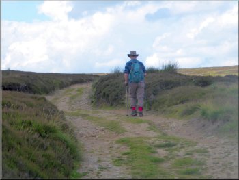
Following the road towards the car park
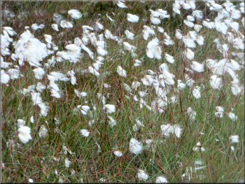
There were large areas of cotton grass beside the road
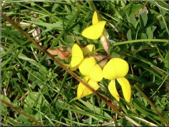
Bird's foot trefoil on the roadside
The whole route had been a little over 10km and it had taken me almost three and a half hours to walk including numerous photo stops. |
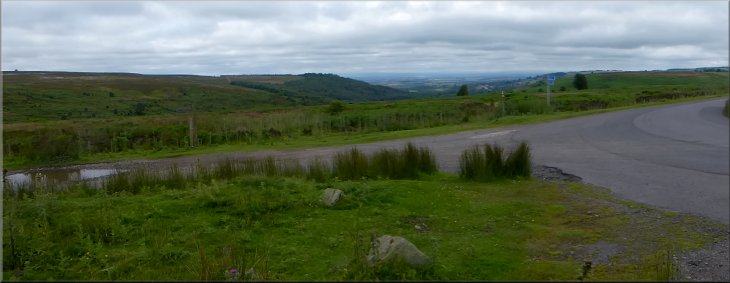
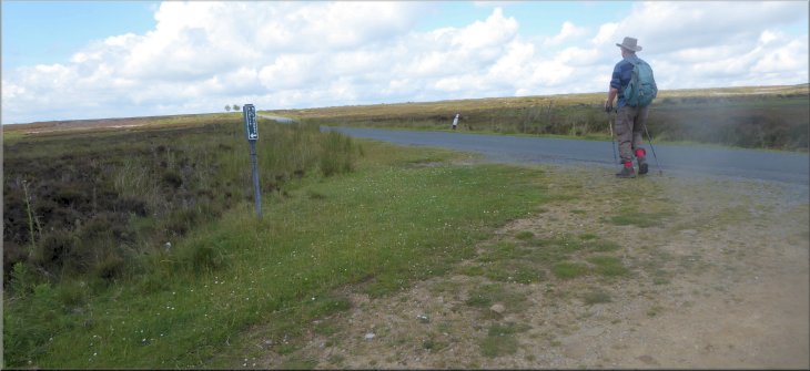
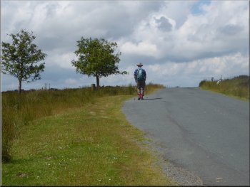
At the road we turned left and walked along the road for about 800m back to the Square Corner car park and the end of our walk.
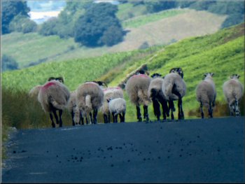
Sheep walking ahead of us along the road
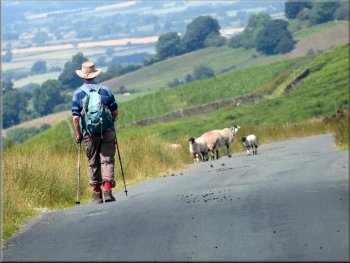
At last the sheep turned off the road
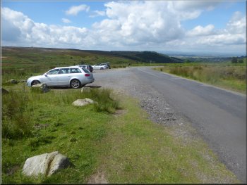
Back at the Square Corner car park
|
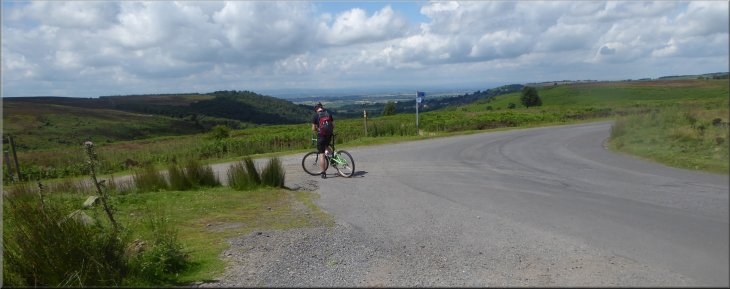
Cyclist stopped to admire the view down Oak Dale from the car park
|