| 2001 walks | 2002
walks | 2003 walks | 2004
walks |
| 2005 walks | 2006
walks | 2007 walks | 2008
walks |
| 2009 walks | 2010
walks | 2011 walks | 2012 walks |
| 2013 walks | 2014 walks | 2015 walks | 2016 walks |
| 2017 walks | 2018 walks | 2019 walks |2020 walks |
| 2021 walks | 1993-2000 library | Find a Route Index |
| A few Routes to print out | Request a Route... |
Route No. 621 - Thursday 12 May 2016
Sprotbrough Br, Levitthagg Wd, Conisbrough Castle,
Conisbrough Station, Trans Pennine Trail
10km circuit - River Don, South Yorkshire . . .
Route map from Ordnance Survey
Open Space service.
Map: OS Explorer 279 Doncaster at 1:25000
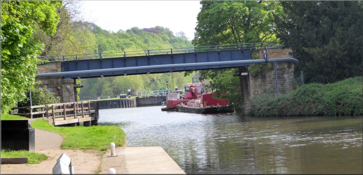
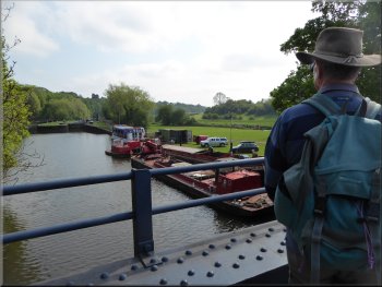
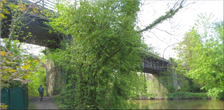
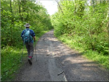
Road bridge over the canal bypassing the weir on the River Don
|
Turning right into Boat Lane to cross Sprotbrough Bridge
Sprotbrough Bridge over the River Don
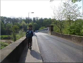
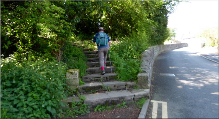
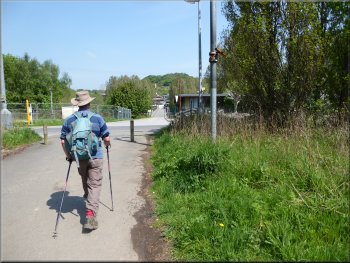
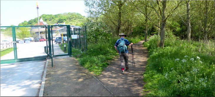
At Boat Lane we turned right to follow the road across Sprotbrough Bridge over the River Don and the short stretch of canal that bypasses the weir on the river. We continued along the road climbing up the valley side to a hairpin bend. At the crown of the bend we kept straight on leaving the road and following a public footpath into Levitthagg Wood. |
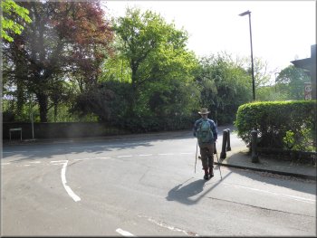
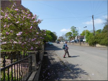
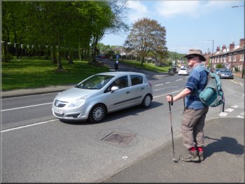
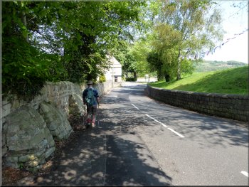
Today the weather forecast was for a bright warm sunny day and my friend, Jim, & I drove south down the A1 to junction 36 where we turned off the A1 and made our way to a little car park at map ref. SE 537 014 next to Sprotbrough Bridge over the River Don. From the riverside car park we walked along Nursery Lane back to Boat Lane.
The canal seen from the road bridge
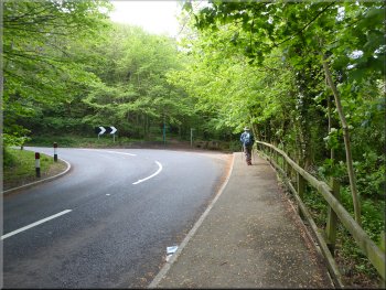
The hairpin bend where we turned right off Mill Lane
|
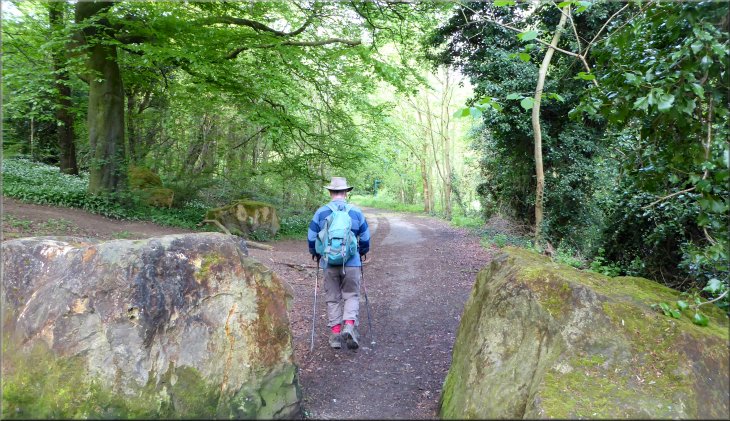
Start of the path through Levitthagg Wood
|
Industrial security fence across the track . . .
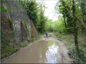
Huge retaining wall next to the muddy track
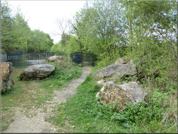
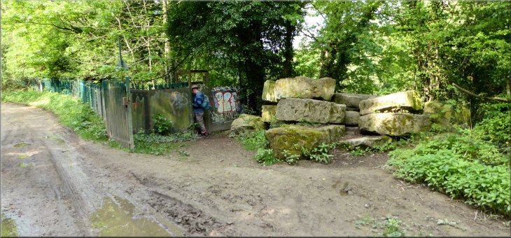
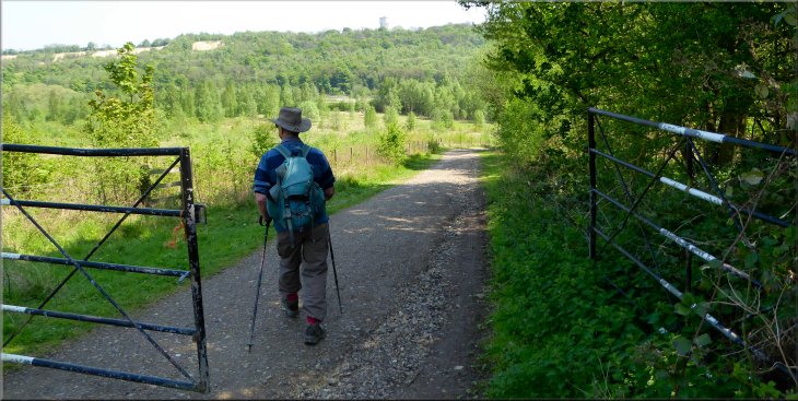
We pushed our way through the heavy gate and emerged onto a lane. We followed the lane beside the trees that screen the river from view and after several hundred metres the lane veered away from the river and on the right of the lane was another similar heavy steel kissing gate next to a pile of large boulders on the river bank that led us back onto the river side path. |
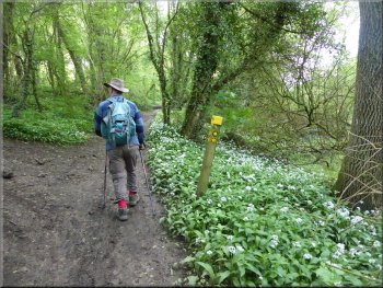
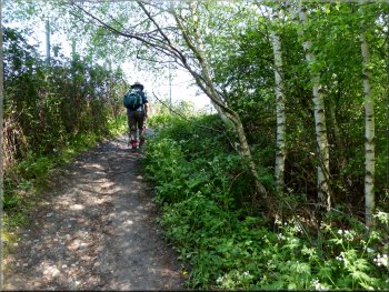
The woods were very pretty particularly at this time of year with great banks of wild garlic in flower scenting the air. The path became a track with large pools of rain water and a strong steel industrial security fence on our left around an old quarry site hidden above us in the wood, not a pretty feature. Ahead of us after a while, the track seemed to be blocked by a similar steel fence but as we reached the fence there was a very sturdy steel "kissing gate" bearing some spray can graffiti.
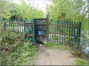
. . . heavy steel kissing gate through the fence
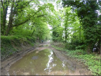
The muddy track with the River Don to the right
|
A second steel kissing gate leading back on to the riverside path
|
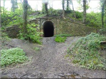
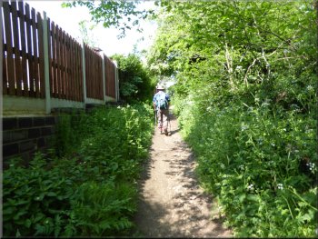
Access track under the railway on the left of the path
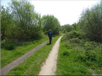
Public footpath along the river bank
It had been clear for a while that the woods were well used by mountain bikers who have made numerous exciting trails (including jumps) up and down the hillside. It's easy to get off the route of the public footpath here and follow a biking trail with a difficult scramble back up to the footpath (voice of experience here!). |
The path had become sandwiched between the river and the railway and there were a couple of stone built access tracks under the railway. After about 1.5km from the road at Sprotbrough Bridge we came to the railway bridge over the River Don at map ref. SK 526 999. We followed the path under the railway.
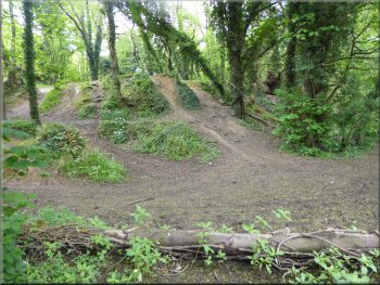
A few of the many mountain bike trails through the woods
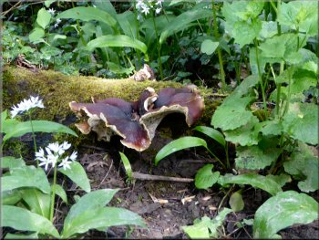
Bracket fungus on a rotting log by the path
|
The railway bridge over the River Don at map ref. SK 526 999
|
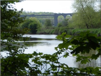
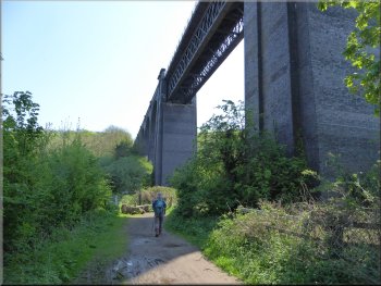
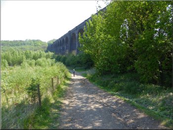
Conisbrough Railway Viaduct over the River Don, now disused
The foot of the old viaduct, we should have been near the top!
We passed under one of the viaduct arches and scrambled up a steep biking trail. At the top of this scramble we came to the public footpath on a track quite high above the river. We continued along the public footpath, which turned right off the track and followed the path through the woods and then along the edge of the back gardens of houses as we reached the edge of Conisbrough. |
At map ref. SK 525 993 we came to the disused Conisbrough railway viaduct. It was here we realised that we were following a biking trail and were much too low down almost at river level.
Huge gap to jump(?) in one of the mountain bike trails
We rejoined the high level footpath just beyond the viaduct
Entering Conisbrough along the bottom of the house gardens
|
Emerging from the woodland path into Windgate Hill to continue straight ahead down the hill
|
Concrete bollards on Windgate Hill
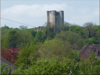
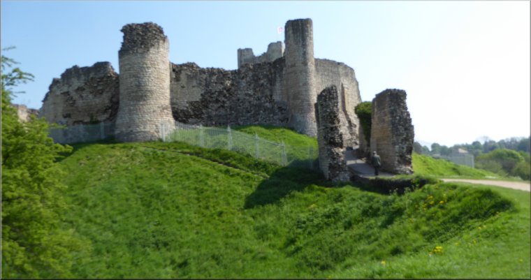
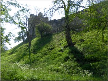
The keep of Conisbrough Castle straight ahead
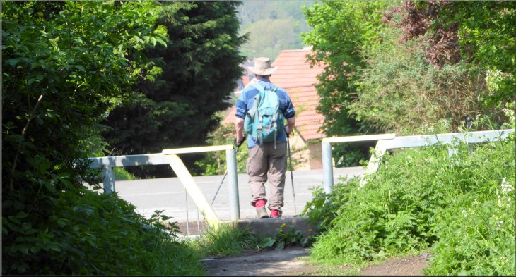
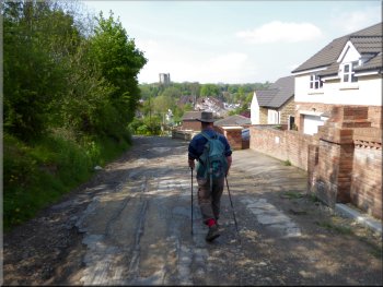
Making our way through the streets to Low Road (A6023)
We followed the roads to the A6023, Low Road, and crossed Low Road to Dale Road. We walked up Dale Road with the parkland around Conisbrough Castle on our right. |
At map ref. SK 519 991 the path emerged onto a street called Windgate Hill we followed this road down the hill and through some concrete bollards. House building is still in progress here and the road has not been resurfaced.
House building still in progress on Windgate Hill
Making our way through the streets to Low Road (A6023)
Waiting to cross Low Road to Dale Road opposite
|
Steps from Dale Road up to the fortifications of Conisbrough Castle
Our visit to Conisbrough Castle . . . |
Following a path round the outside of the castle mound . . .
. . . to the castle entrance opposite the visitor centre
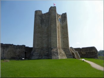
The keep at Conisbrough Castle
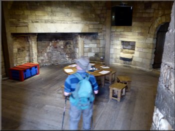
Room inside the keep at the first level
We had a look around the site at this level where there were numerous interesting information boards about the castle and its history. Then we climbed the staircase into the tower of the 12th century keep. We inspected each floor in turn until we reached roof level with views across the surrounding countryside in every direction. |
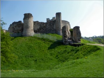
Near the top of Dale Road there were some steps on the right of the road up a bank to a path around the base of the fortified castle site. We followed the path around the castle to the English Heritage Visitor Centre opposite the castle entrance. We bought our concessionary tickets and walked up the path through the ruined gateway into the inner bailey.
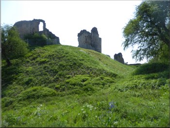
. . . continuing round the outside of the castle mound . . .
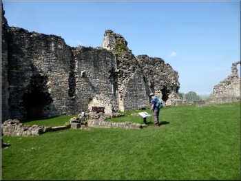
Inside the outer bailey with good information boards
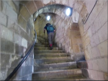
Climbing the stairs inside the keep
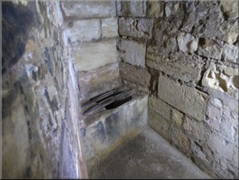
Lavatory with a chute directly to the outside of the keep walls
|
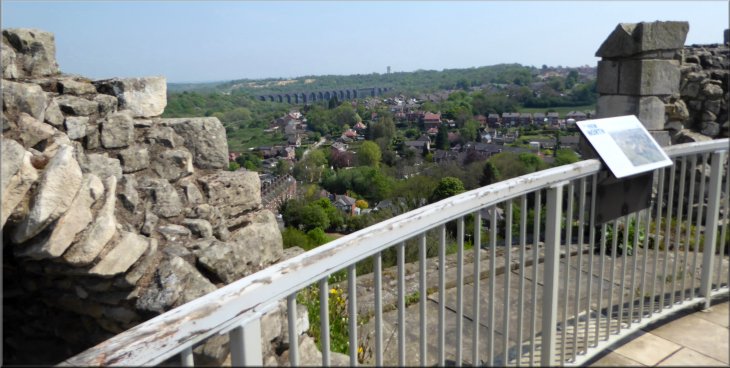
View from the roof of the keep back along our route to the disused railway viaduct
. . . continuing our walk from the castle |
Leaving the castle site along Castle Hill
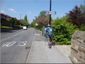
About to turn down to the station from Station Road
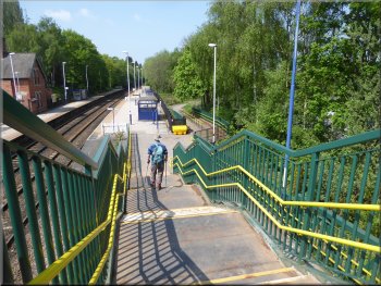
Crossing the lines on the footbridge
We walked down the ramp to a road leading north east from the station across a bridge over the River Don towards a business site with an intimidating set of gates across the road. As we approached the gates the road seemed to be blocked but when we arrived at the gates there was a clear footpath off the road to the right climbing up through the woodland around the outside of the fences business site. |
After our tour of the castle we left the site by the gate next to the visitor centre on to a street called Castle hill and made our way to Station Road. We followed Station Road down to Low Road at the station access road. We followed the access road to the station and onto the platform. We crossed the footbridge over the railway to the platform on the other side.
Continuing along Station Road away from the castle
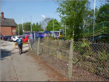
Entering Conisbrough Station
Leaving the station to cross a bridge over the River Don
|
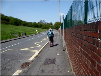
Path to our right around the security fence of a business site
|
Path around the security fence of a business site
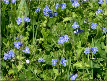
Speedwells by the path
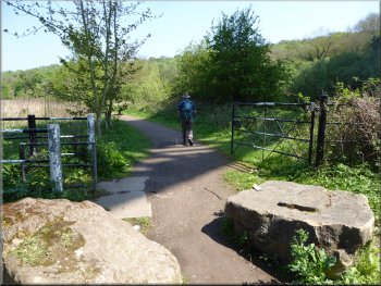
In fact we followed the route of the Trans Pennine Trail all the way back to the car park at Sprotbrough Bridge, about 3.5km. Initially we walked along an easy track and after about 1km we came to the start of a track across the disused railway viaduct over the River Don. |
There were several paths off to our right but these lead eventually to a very steep climb to reach the Trans Pennine Trail. We continued to follow the path around the fence until we reached the Trans Pennine Trail at map ref. SK 510 998 above the fenced business site. Here we turned right and walked along the Trans Pennine Trail.
The route of the Trans Pennine Trail above the business site

Path to the left over the disused railway viaduct.
Our route was straight ahead to drop down to the river next to the viaduct
|
Path dropping down to the River Don next to the disused railway viaduct
|
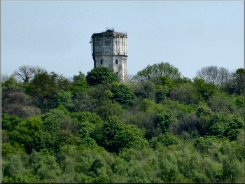
Water Tower (SK 529 994) next to the A630 across the valley
Path down to the river by the old viaduct
We followed the river bank path with very pleasant views of the river Don on our right and the Sprotbrough Flash nature reserve on our left. The nature reserve is managed by the Yorkshire Wildlife Trust. |
Here we turned left and dropped down the hill for just a few metres before turning right off the tarmac road to follow a stony track down the side of the viaduct to a path along the bank of the river.
Path down to the river by the old viaduct
Leaving the old viaduct along the riverside path
|
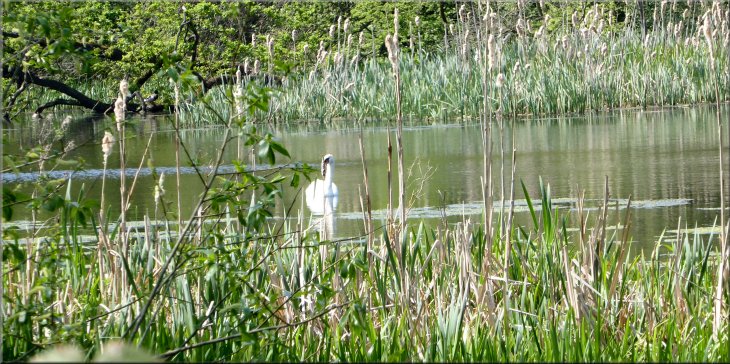
Swan on a long pond in the nature reserve by the path
|
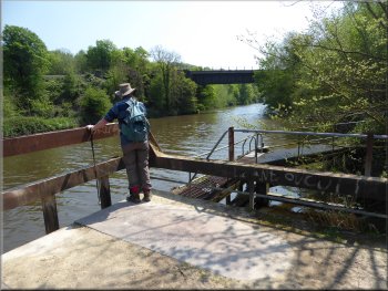
Looking along the river from a jetty for Cadeby Quarry an SSSI
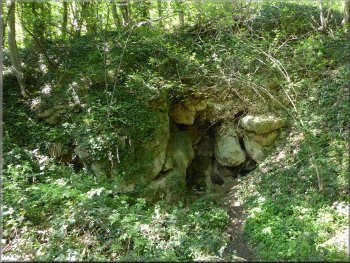
Pothole entrance just off the riverside path
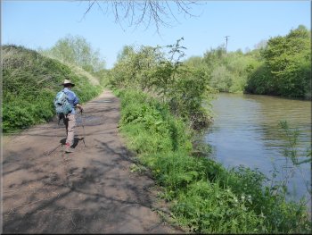
Riverside path near the end of our walk
At the end of our walk we passed the Boat Inn where people were sitting in the courtyard eating & drinking. We passed the weir on the River Don and continued along the path by the canal that bypasses the weir until we reached the car park and the end of our walk. The whole route was about 10km, but it depends how far you walk exploring the castle. It rook us about four hours including our visit to the castle and a couple of refreshment stops.
|
There were lots of butterflies about in the hot afternoon sun but they mostly kept on the move and I failed to get photos of them except for one green veined white that posed on a flower for me. We saw several lovely blue butterflies and a yellow brimstone that refused to land anywhere. They were too active for me to photograph.
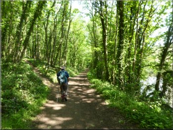
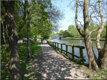
Continuing along the riverside path
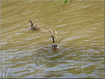
Family of Canada Geese on the river
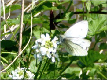
A green veined white butterfly
|
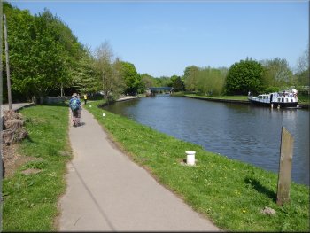
Riverside path approaching our parking spot
|
Riverside path approaching our parking spot
|
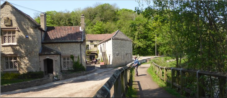
The Boat Inn where people were sitting in the courtyard eating & drinking next to the riverside path
|