| 2001 walks | 2002
walks | 2003 walks | 2004
walks |
| 2005 walks | 2006
walks | 2007 walks | 2008
walks |
| 2009 walks | 2010
walks | 2011 walks | 2012 walks |
| 2013 walks | 2014 walks | 2015 walks | 2016 walks |
| 2017 walks | 2018 walks | 2019 walks |2020 walks |
| 2021 walks | 1993-2000 library | Find a Route Index |
| A few Routes to print out | Request a Route... |
Route No. 597 - Friday 25 September 2015
Winding Walks Car Park, Duchess of Richmond
Monument, Ranald's Grave, Fochabers view point
6km circuit - Fochabers, Scotland . . .
Route map from Ordnance Survey
Open Space service.
Map: OS Explorer 424 Buckie & Keith
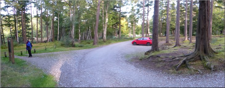
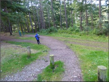
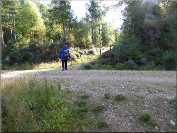
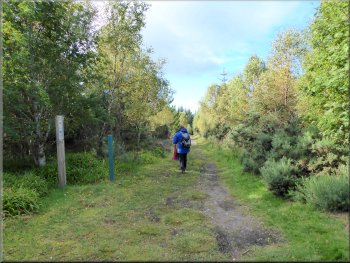
The Winding Walks car park
|
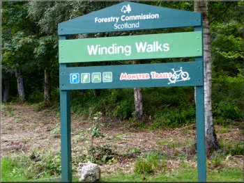
Sign at the car park entrance
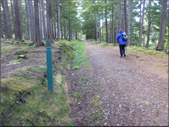
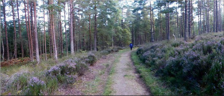
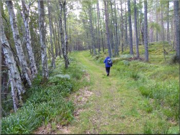
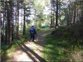
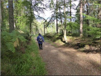
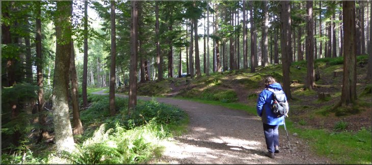
Following the green route up the wooded hillside
We
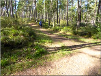
are not planning to walk the Winding Walks trails today, instead we plan to walk a circular route using parts of all four colour coded & way marked trails from the car
park. From the car park we set off in a south westerly direction following the 'Green' way marked trail along a broad forest track. After about 250m we
turned left by a bench seat on to another broad forest track heading roughly north east still following the green way marked trail. |
My wife & I are on holiday in Scotland. We spent a few days in Dunblane and now we are staying in a holiday cottage in Findochty on the coast of the
Moray Firth. This morning we drove west along the A98 almost to the junction with the A96 at Fochabers. About 500m before the junction of the A98
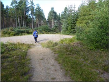
& the A96 we turned left off the A98 into a forestry car park at a site called "Winding Walks" at map ref. NJ 358 586. The Winding Walks are a maze of trails zig-zaging up the valley of the 'Small Burn' from the car park.
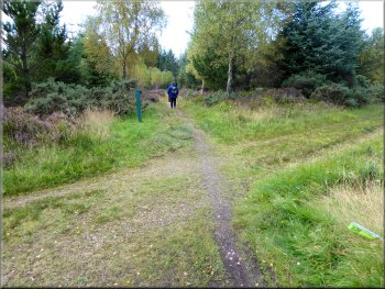
Setting off from the car park on the green route
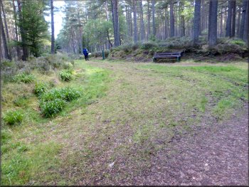
Turning left by the seat to follow the green route
|
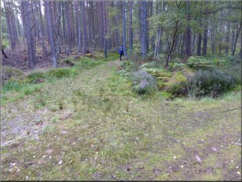
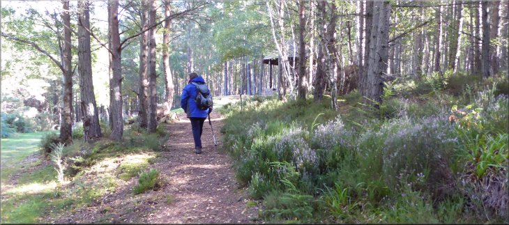
Following the green route contouring round the hillside
|
Turning left off the wide track to continue along the green route
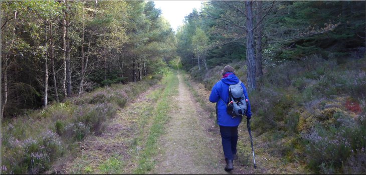
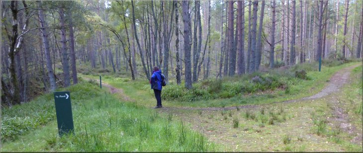
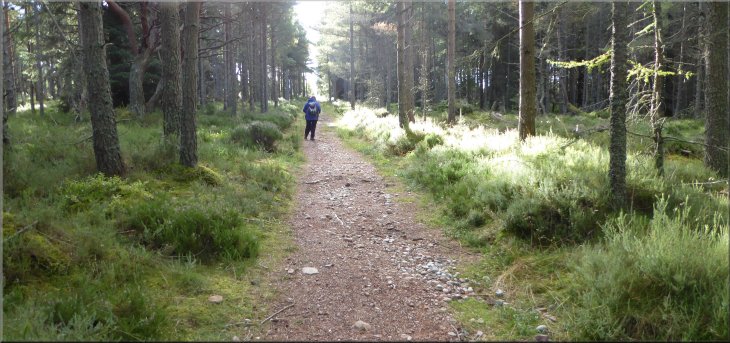
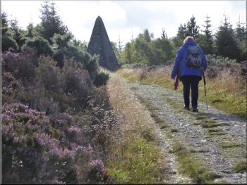
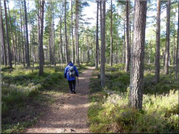
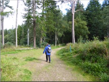
We turned right off this track to follow a much narrower track doubling back slightly at the start and then heading roughly south east climbing up the wooded hillside, still on the green way marked trail. |
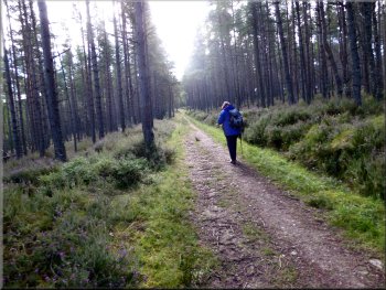
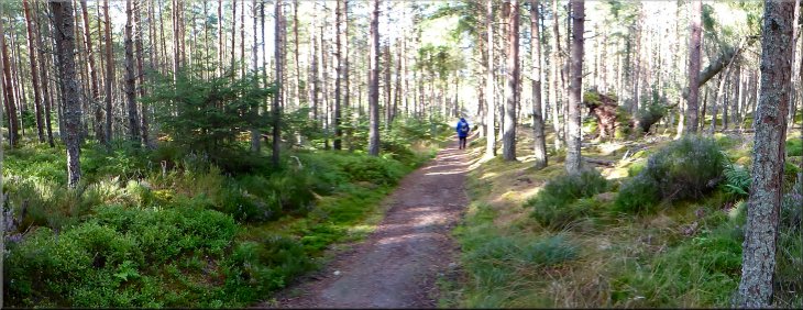
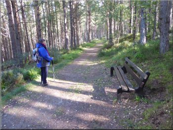
We continued along this pleasant track with the sunlight casting dappled shadows on the forest floor for about 750m to map ref. NJ 365 587 where the broad forest track bent round to our left and down the hillside.
Climbing up the hillside along the top of Red Slack gully
|
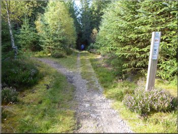
The junction where the green route turns right and we continued straight ahead on the blue route
|
Following the blue route straight up the hillside
Continuing along the blue route up the hillside
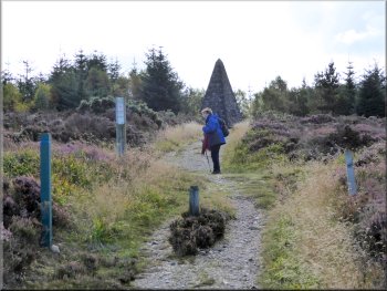
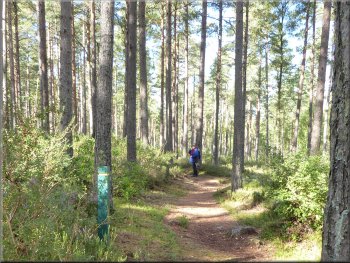
After about 400m at the head of the gully we came to another forest access track at map ref. NJ 369 580. Here we crossed the forest access track and joined a narrower path opposite between the trees still climbing straight up the hillside following the blue trail. |
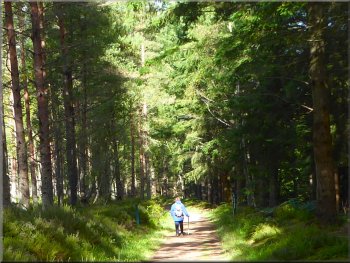
We continued along this track for about 350m to a junction in the track at map ref. NJ 367 584. Here the green trail turns left to pass Longhowe Loch, but we continued straight on now following the 'blue' trail along the top of the steep sided gully of Red Slack.
Crossing a forest track to the narrow path on the other side
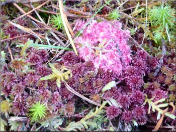
Many mosses by the path, this one in flower
|
The blue route still heading straight up the hillside
|
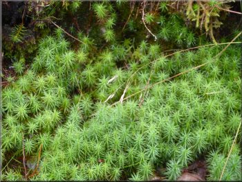
Another moss, this one not in flower
Approaching the monument at the top of the climb
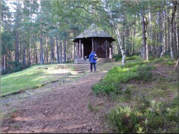
The information board by the monument tells us that: The Duchess, like her husband, took a keen interest in the Fochabers area and supported many projects aimed at helping local people. To quote George Roy Duncan writing in 1902, this is "a noble cairn, erected to a noble Duchess who was never tired of well-doing for Fochabers and its inhabitants" At the monument we sat on the seat around its base to have our lunch and admire the view out over the forest to the Moray Firth beyond. |
We continued along this path for about 600m to cross another forest access track at map ref. NJ 372575. Once across this track we continued along the path up the hillside for about another 100m to a large stone monument in the shape of a pyramid cairn. According to the plaque on it, this is a monument to "Frances Harriet Duchess of Richmond" and it was built in 1887.
Approaching the monument at the top of the climb
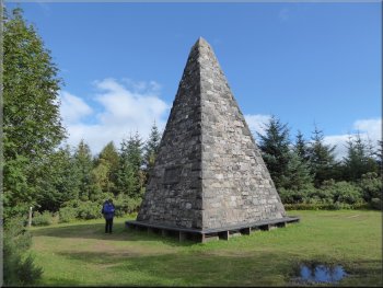
Monument to the Duchess of Richmond
|
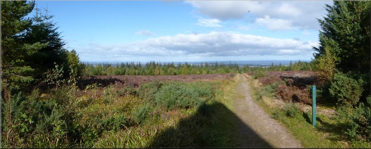
Looking out to the Moray Firth from the Duchess's Monument
|
The blue route from the monument after our lunch
Mountain bike route to the left we kept straight on
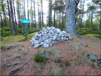
Ranald's Grave
Along the way we passed a huge wood ants' nest but there was little activity on the surface of the nest at this time of year. A little further on we came to a large pile of rocks just off the path with a sign informing us that this is Ranald's Grave with a few details of his demise. |
After our lunch break we continued along the blue way marked trail heading south west and then west for about 1km to map ref. NJ 364 574. Here several forest tracks meet including mountain bike routes. From the junction we headed north west still following the blue way marked route.
Crossing a forest track close to the monument
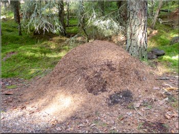
Wood ants' nest by the path
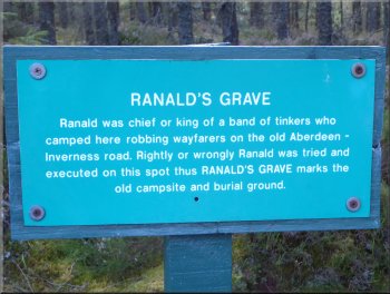
Ranald's Grave
|
Continuing along the forest track straight down the hillside
|
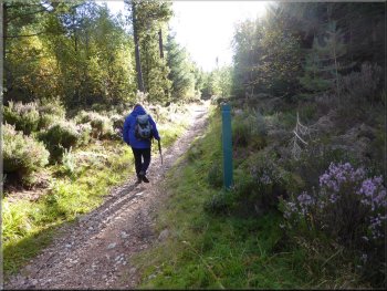
Following the red route along a forest track
Turning off the red route to follow the yellow route
Yellow route through the trees
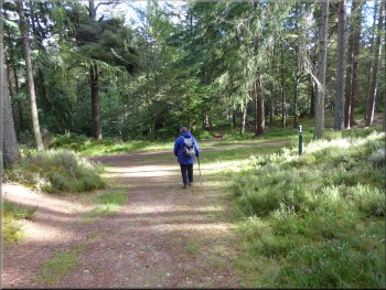
After about 500m along this track we came to a junction and turned left to join the yellow way marked route. Where we made the turn the yellow route immediately turns off the track to the right along a narrow footpath winding its way through the trees for about 400m to join a forest access track at map ref. NJ 356 579, heading north west. |
A little further on still, at map ref. NJ 363 576, we came to a fork in the track where we joined the red way marked route. In fact this is where the red route doubles back around the head of the steep little valley of Small Burn and the Winding Walks can also be accessed here. We kept to the left hand fork of the red route heading roughly north west down the hillside along the top edge of the Small Burn valley.
Following the red route along a forest track
Yellow route turns off the track on to this path
Back on the forest track to the view point
|
Approaching the view point along the yellow route
|
View point cabin overlooking Fochabers
Yellow route from the view point
The red route heading back to the car park
The red route heading back to the car park, almost there
At this track we turned left and followed the red route for about 250m back to the car park and the end of our walk. The whole route had been 6km and it had taken us almost three hours to walk including our lunch stop and a stop at the Fochabers view point. |
At this track we turned right to walk along the track around the hillside for about 250m to a view point called Peeps View. The trees have been cleared to open up the view over Fochabers and there is a little wooden cabin with seats to sit and enjoy the scene. From the view point we continued along the yellow way marked route around the hill for about 350m to rejoin the red route.
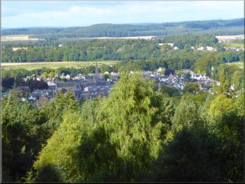
Fochabers seen from the view point
Rejoining the red route heading back to the car park
Western red cedar in the car park
|
Back at the edge of the car park at the end of the walk
|