| 2001 walks | 2002
walks | 2003 walks | 2004
walks |
| 2005 walks | 2006
walks | 2007 walks | 2008
walks |
| 2009 walks | 2010
walks | 2011 walks | 2012 walks |
| 2013 walks | 2014 walks | 2015 walks | 2016 walks |
| 2017 walks | 2018 walks | 2019 walks |2020 walks |
| 2021 walks | 1993-2000 library | Find a Route Index |
| A few Routes to print out | Request a Route... |
Route No. 574 - Tuesday 27 January 2015
Helperby, Thornton Bridge, Fawdington House,
Ewe Hole Lane, Brecks Lane, Rag Hill Lane circuit
7km - Helperby, Boroughbridge . . .
Route map from Ordnance Survey
Open Space service.
Map: OS Explorer 299 Ripon & Boroughbridge
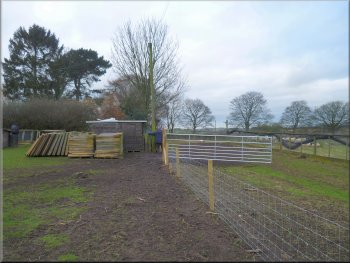
The village hall next to the car park
Looking back along Main Street
Crossing the road to the green track down the side of the school
After about 150m we continued
along Main Street across the crossroads with Raskelf Road & Bridge Street. At the 'T'-junction at the end of the street we crossed road and took the
green track down the left hand side of the school to a stile into the fields. |
This morning, my wife & I drove a few miles to the village of Helperby and parked in the small car park area next to the village hall off the Main Street
through the village. From the car park we walked back to the village street and turned left to walk along the street.
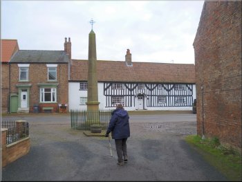
Heading into Main Street by the war memorial from the car park
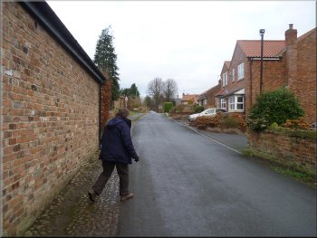
Continuing along Main Street towards the school at the end
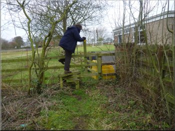
Stile into the fields behind the school
|
Stile into the school playing field
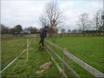
Open iron gate between the fields
Iron gate on to the road at the end of the sheep pastures
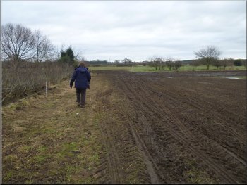
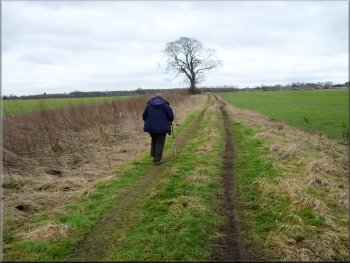
We walked beside a post & wire fence
down the middle of the muddy pasture and went through an open iron gate on our right at the far end. We crossed this next field with a pond in the
middle and came to an iron gate in the far corner that led us on to the road out of Helperby heading towards Thornton Bridge. |
We followed the footpath between the post & rail fence and an electric fence to another stile. We crossed this stile on our right into the small playing
field at the back of the school and continued to a ladder stile at the end of the field into some sheep pasture.
Ladder stile out of the school playing field
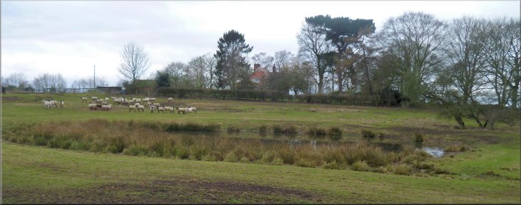
Flock of sheep hoping to be fed
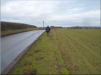
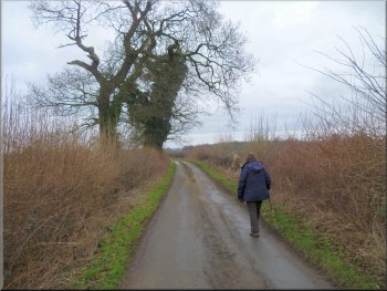
Following the road towards Thornton Bridge
|
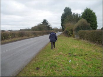
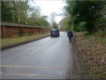
Following the road towards Thornton Bridge
There is a verge wide enough to walk on but quite rough and uneven underfoot. The verge is covered in litter, paper cartons, bottles,
plastic, rags. All kinds of junk apparently just discarded from passing vehicles. Ugh!
|
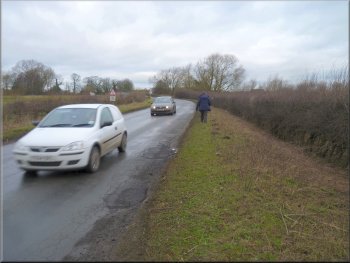
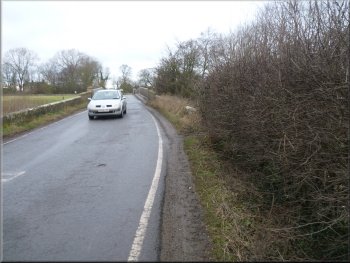
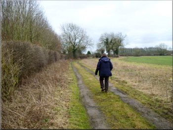
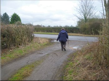
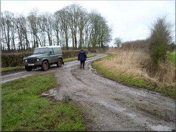
Here we turned left and followed the road for about 800m to Thornton Bridge over the River Swale. This is not the nicest part of the walk. The road is
quite busy.
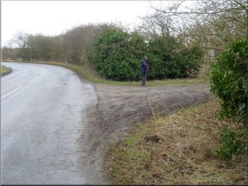
Nearing our turning off the road just before Thornton Bridge
|
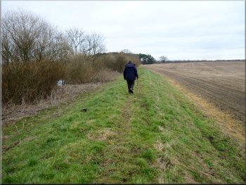
Path over the low wall & along the flood bank
Path along the flood bank heading for a minor road
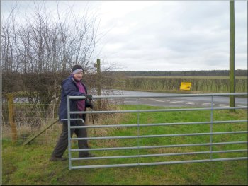
At the road we turned left and walked along the road for about 350m to the access road to Fawdington House farm on our right. Here we turned off the road to walk along the access road towards Fawdington House. |
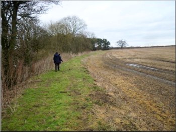
At Thornton Bridge we turned right off the road to cross a low stone wall to the path heading upstream by the River Swale along the flood bank on the
south-eastern side of the river. We followed the path along the flood bank and then along the edge some woodland to a minor road at map ref.
SE437717.
Path along the flood bank beside the River Swale
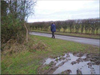
Turning on to a minor road from a muddy field gateway
|
The River Swale seen from the flood bank path
|
Following the road towards Fawdington House
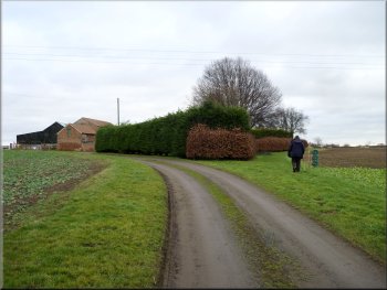
Keeping right to take the path around Fawdington House
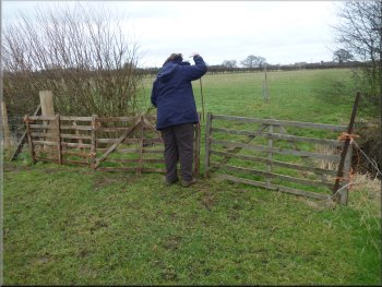
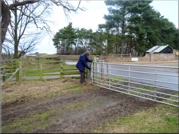
Withdrawing the steel pin to open the gate
These gates were held together by a long steel pin passing through hoops in the ends of the gates, easy enough to pull out to pass through the gates, but a bit
awkward to thread back into place to refasten the gates. The path across the fields brought us to the road next to a house with a tennis court in the
back garden, at map ref. SE444720. |
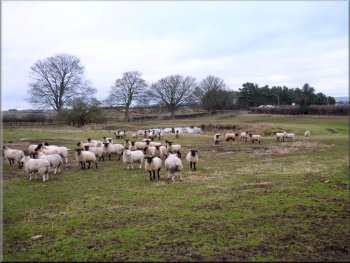
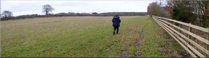
Just before we reached the house we kept to the right off the access road to follow a path just to the right of Fawdington House beside the hedge
around the house. We continued past the house across the fields. There were sheep grazing in many of the fields divided by pairs of low wooden gates.
Turning on to the Fawdington House access road
Path across the fields from Fawdington House
Gate to the road at the house with a tennis court
|
Path across the fields to the road at the house with a tennis court
|
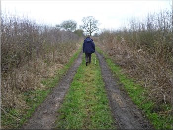
Turning off the road on to Ewe Hole Lane
Following Ewe Hole Lane between the fields
Heading for Raskelf Road along Ewe Hole Lane
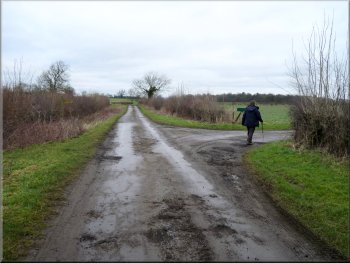
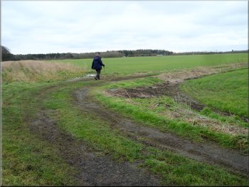
We continued along the lane round a
right hand bend and between the fields. After about 600m we crossed another track that was along the bed of a dismantled railway. We continued
along Ewe Hole Lane for another 550m to Raskelf Road at map ref. SE445705. |
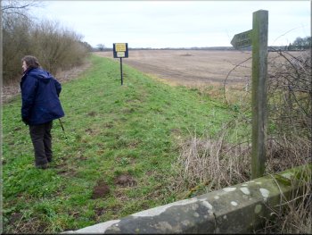
At the road we turned right and walked along the road for about 300m to map ref. SE443717 where there is a farm access track (open to the public)
on the left hand side of the road. Here we turned left off the road and followed this track, called Ewe Hole Lane.
Starting out along Ewe Hole Lane
Crossing the bed of the dismantled railway
Turning on to Raskelf Road from Ewe Hole Lane
|
Walking along Raskelf Road
Following Brecks Lane between the fields
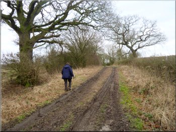
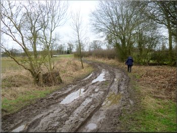
Brecks Lane getting muddier
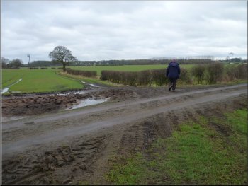
Brecks Lane is quite muddy and awkward to walk having been cut into deep, water filled ruts by the farm traffic that
uses it. We walked along Brecks Lane between the fields for about 600m to Raghill Lane at map ref. SE450699.
|
Here we turned left to walk along Raskelf Road for about 150m to another lane on the right hand side of the road. This is Brecks Lane and we turned
right off Raskelf Road to follow it.
Turning off Raskelf Road on to Brecks Lane
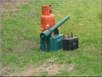
A gas fired bird scarer next to the lane
Brecks Lane cut into muddy ruts
|
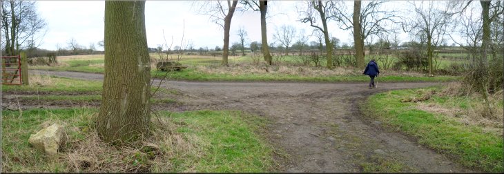
Turning right to follow Raghill Lane
|
Raghill Lane where it becomes a metalled public road
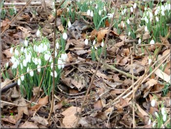
Snowdrops on the bank by the lane
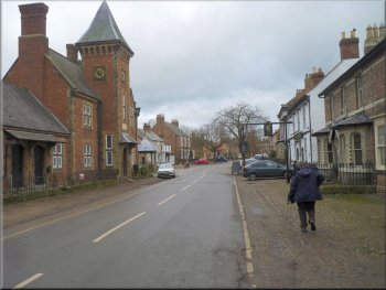
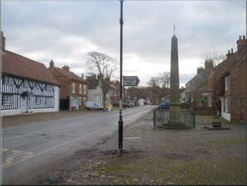
Following Main Street through Helperby
We continued along Main Street back to the entrance to the village hall & car park at the end of our walk. The whole route
had been 7km and it had taken us a little over two hours to walk with no stops. There are a couple of good pubs in the village and we chose one of
them for our lunch before driving home. |
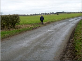
At Raghill Lane we turned right and walked along it for about 400m to a minor road at map ref. SE446698. At the road we turned right to walk along
the road (a continuation of Raghill Lane), round a left hand bend and out to the road into Helperby. We followed the road past Helperby Hall where the
road is called Main Street
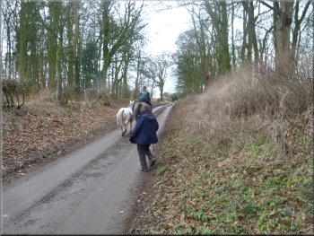
Overtaken by a horse rider along Raghill Lane
Heading for Helperby along Main Street
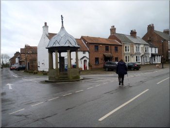
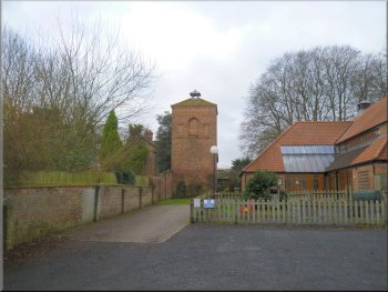
Old drinking fountain at the junction at Tofts Lane
|
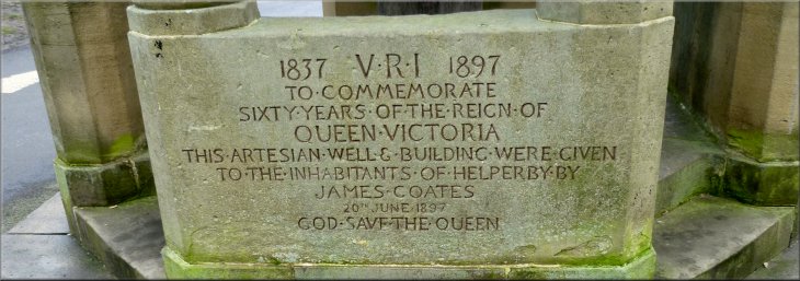
Inscription on the old drinking fountain at the junction of Main Street and Tofts Lane
|