| 2001 walks | 2002
walks | 2003 walks | 2004
walks |
| 2005 walks | 2006
walks | 2007 walks | 2008
walks |
| 2009 walks | 2010
walks | 2011 walks | 2012 walks |
| 2013 walks | 2014 walks | 2015 walks | 2016 walks |
| 2017 walks | 2018 walks | 2019 walks |2020 walks |
| 2021 walks | 1993-2000 library | Find a Route Index |
| A few Routes to print out | Request a Route... |
Route No. 558 - Monday 7 July 2014
Marske, Clints, Orgate Farm, Telfit Farm,
Helwith Bridge, Skelton Moor, Skelton circuit - 12km
Swaledale . . .
Route map from Ordnance Survey
Open Space service.
Map: OS Explorer OL30 Yorkshire Dales Northern & Central areas
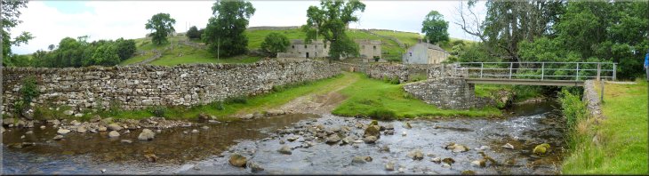
Leaving the car park to cross Marske Beck on the road to the left
|
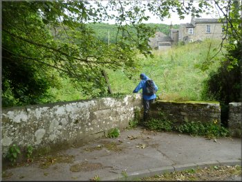
The path off the road through a gap in the parapet wall
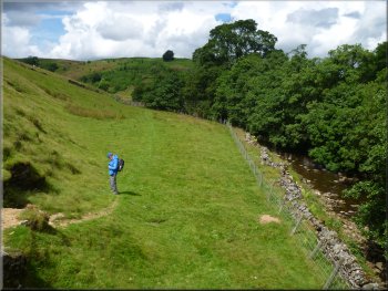
Path next to Marske Beck
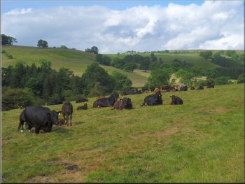
Cattle by the path
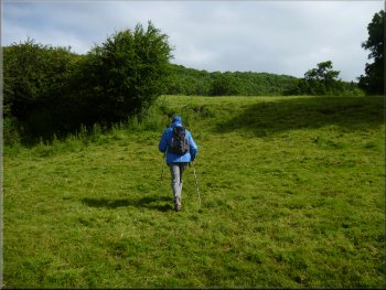
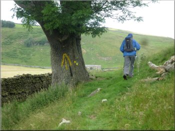
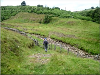
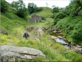
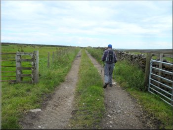
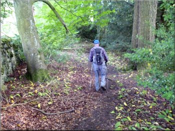
Just on the far side of the beck we turned left off the road, through a gap in the wall to walk down some steps to a path heading upstream along the side of the beck. After about 100m the path began to climb up the grassy hillside away from the beck. We continued up the hillside for about 100m to a lane across the field going from Marske to Clints. |
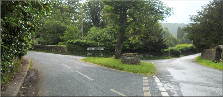
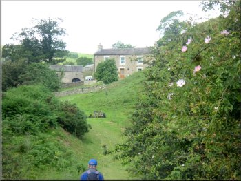
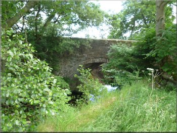
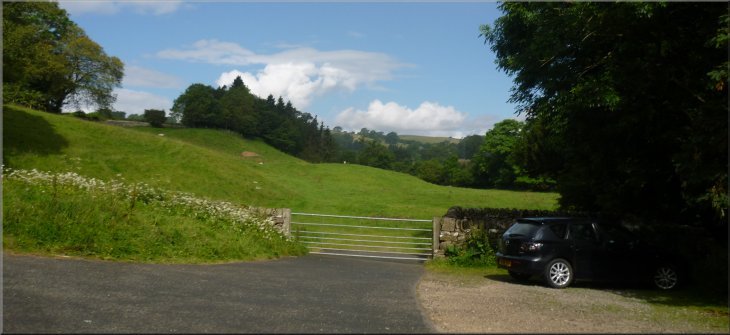
This morning I met my friend Ray in Northallerton and we drove together to Marske in Swaledale and parked in a little parking area at map ref. NZ103004 next to Marske Beck at a road junction in the village. We left a small contribution in the Parish Council's honesty box at the car park and then walked from the road junction across the road bridge over the beck.
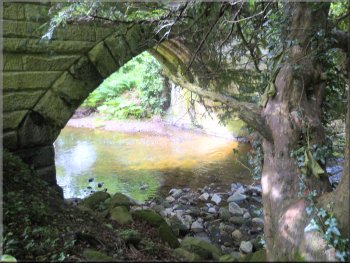
Marske Beck flowing under the road bridge
Path climbing away from the beck towards Clints
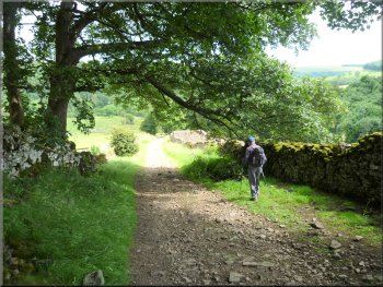
The lane between Marske and Clints
|
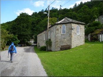
Old chapel building in Clints
Track heading for Orgate Farm
Track heading for Orgate Farm
There are several tracks off our route that go higher up the hillside. These tracks are not marked on my OS Explorer map so take care to stay on the right track heading up the valley. |
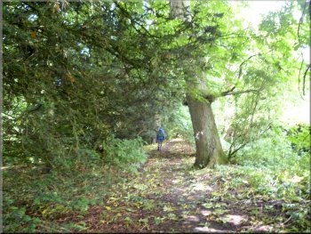
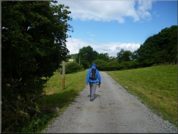
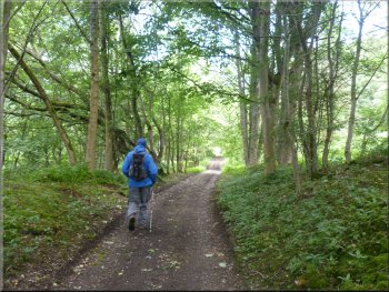
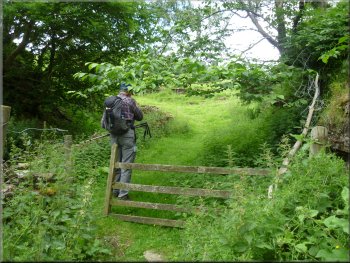
At the lane we turned left to walk along the lane through the tiny village of Clints. Beyond Clints the lane became a track through the woodland and fields for about 1km to Orgate Farm.
Track through woodland beyond Clints
Looking up the valley of Marske Beck
Approaching Orgate Farm
|
Dropping down to Marske Beck from Orgate Farm
Returning up the steep access road to Orgate Farm
Just across the beck we turned right and followed a path (sheep track?) by the beck for about 100m to the falls. Then we retraced our steps back up the farm access road. Just before we reached the farm we turned left off the access road to follow a bridleway below the farm. |
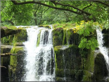
At Orgate Farm we made a short diversion to see Orgate Force, a very pretty waterfall on Marske Beck. At Orgate Farm we turned left to walk down the hillside along the zig-zag concrete farm access road to a ford across the beck and a footbridge called Orgate Bridge.
Kingcups on the rocks of Orgate Force
Turning off the farm access road to the path below Orgate Farm
|
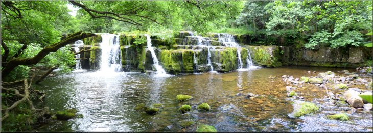
Orgate Force on Marske Beck
|
Path heading up the valley from Orgate Farm
Following the path with the wall on our left
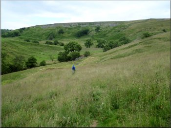
Path dropping down the valley side to Marske Beck
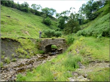
We passed an ash tree with a large yellow waymark and then the path began to drop down the hillside towards the beck. Near the beck the path doubles back, still dropping down and leads to a fine stone arch footbridge over Marske Beck. |
From Orgate Farm we followed the bridleway for about 250m to some stone farm buildings. About 100m beyond these buildings a footpath forked left away from the bridleway where the bridleway began to climb up the hillside. We followed the path keeping alongside the drystone wall on our left.
Farm buildings a few hundred metres from Orgate Farm
Path dropping down the valley side to Marske Beck
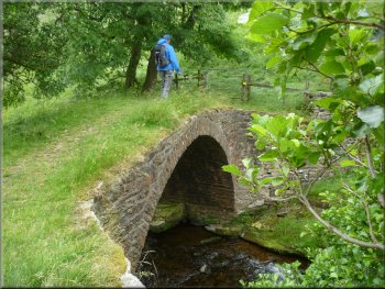
Stone arch bridge over Marske Beck
|
Following the path with a stone wall on our right above Telfit Farm
|
Path climbing up from the footbridge over Marske Beck
Track to the right to Telfit Farm, our track to the left
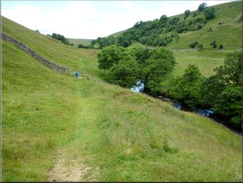
Following the beck towards Helwith Bridge
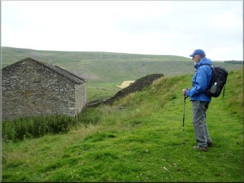
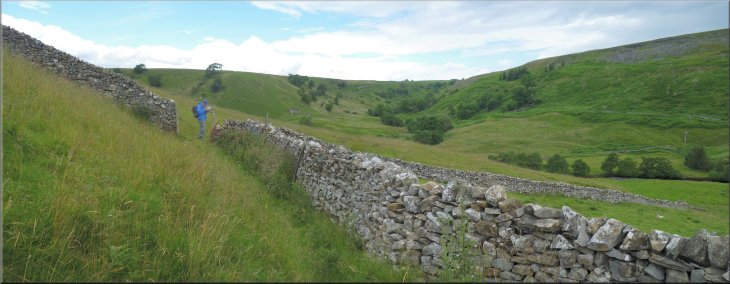
We continued past the farm and after about 100m we kept to the right off the track to follow a path beside a drystone wall contouring around the hillside.
We followed the path as it dropped back down to the beck and continued in the fields beside the beck to Helwith Bridge over the beck at map ref. NZ074028. |
From the footbridge we followed the path up the valley side to a farm access track at map ref. NZ085024. At the track we turned right and walked along the track towards Telfit Farm. Just above Telfit Farm we turned left off the farm access track where it turned right to drop down into the farm.
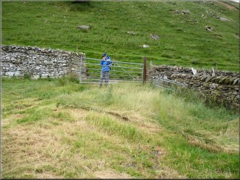
Gate onto the farm access track to Telfit Farm
Path dropping down to the beck beyond Telfit Farm
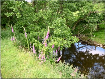
Foxgloves growing by the beck
|
The beck at Helwith Bridge - the water is from Skegdale Beck & Moresdale Gill
|
Crossing the dry bed of Shaw Beck above Helwith Bridge
Mountain pansies and rabbit holes on the lead mining spoil
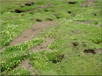
We dropped down through a gate to cross the dried up bed of the beck (it goes underground through fissures in the rocks). Across the beck we turned left and walked along the beckside through an area filled with relics of the lead mining era of the 1700's & 1800's. The lead mining spoil was decorated with swathes of yellow mountain pansies and full of rabbit holes.
|
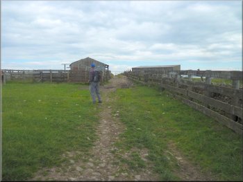
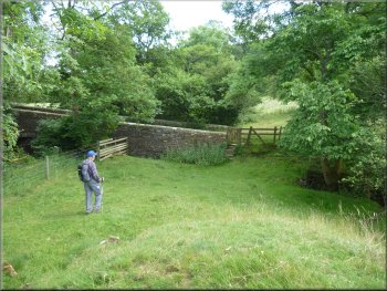
Helwith Bridge is a very pleasant spot framed by drystone walls and the wide beck flowing gently through. There were swallows skimming the surface of the beck and pied and grey wagtails feeding along the far bank of the beck. A few guinea fowl approached us along the track from Helwith and then retreated again. After our break we did not cross Helwith Bridge but instead we followed the path along the southern side of the beck for a few metres.
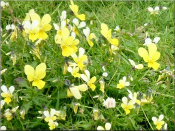
Mountain pansies growing on the lead mining spoil heaps
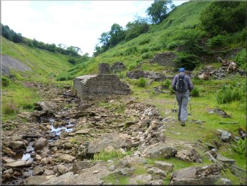
Relics of the lead mining era by Shaw Beck
|
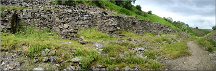
Series of storage bays from the lead mining era by Shaw Beck
|
Stone arch bridge over Shaw Beck
Turning left around the end of the old stone building
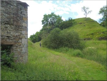
Immediately past this building the path turns sharp left to continue up a narrow valley. The path veers away from the beck and climbs up the hillside to a farm access track at map ref. NZ063021.
|
After about 700m from Helwith Bridge the path crossed Shaw Beck on an old stone arch bridge (another lead mining relic). The path continued to follow the beck past the ruins of a stone building again from the lead mining era.
More buildings from the lead mining era
Following the path by a small stream climbing up a narrow valley
|
Still climbing on a bridleway after crossing a farm access track
At the corner of the fence the bridleway turns right
The bridleway continues along the track between the fields
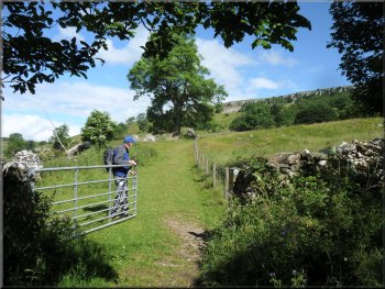
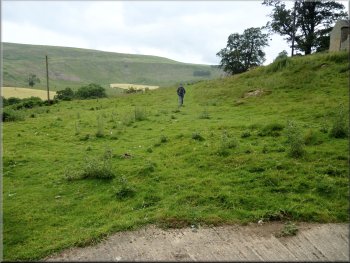
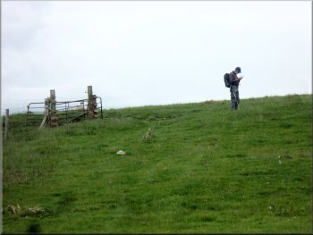
After about 150m we came to the corner of the fence. Here we turned right to follow the track between the fields to cross the end of a public road near High Greenas farm. |
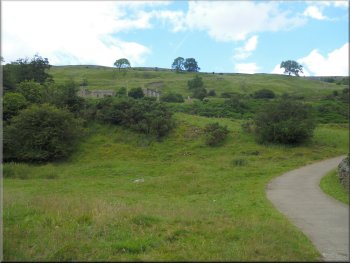
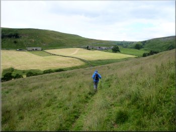
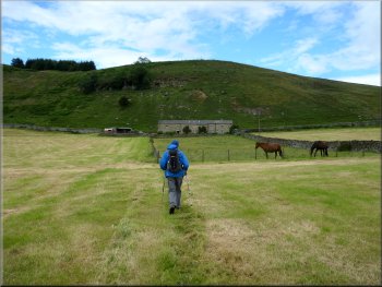
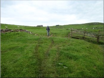
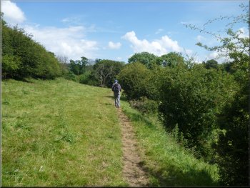
From the farm access track we followed a bridleway on the far side of the track climbing up across the fields with an old stone barn on our left. We passed through a field gate and then turned left to follow the field edge.
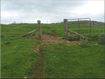
The bridleway passes through this gateway and then turns left
The bridleway continues along the track between the fields
Crossing the end of the public road near High Greenas
|
|
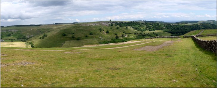
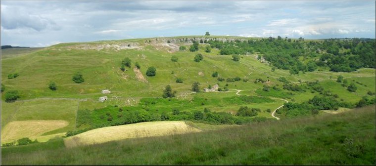
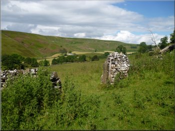
Looking across the valley of Marske Beck from the track across Skelton Moor
|
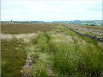
Path across Skelton Moor with the stone wall to the right
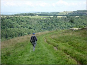
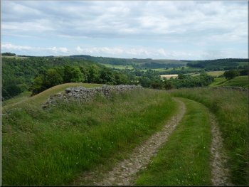
Following the track down a long tongue of land from Skelton Moor
Approaching the road at the end of the track from Skelton Moor
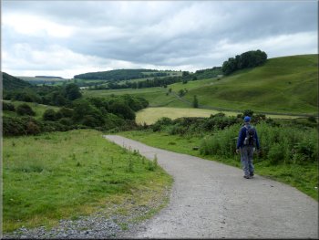
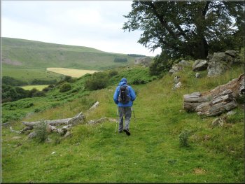
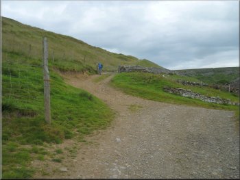
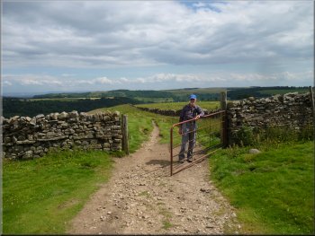
We followed this track down a long tongue of land to the road at map ref. NZ093012. At the road we turned right and walked along the road for about 100m to a public footpath on the right hand side of the road. |
Across the road we went through a field gate to follow a path across Skelton Moor alongside a stone wall on our right. We continued across the moor for about 1.3km to map ref. NZ084016 where we joined a track coming across the moor from Helwith.
Beginning our descent along the track from Skelton moor
Following the track down a long tongue of land from Skelton Moor
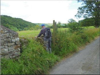
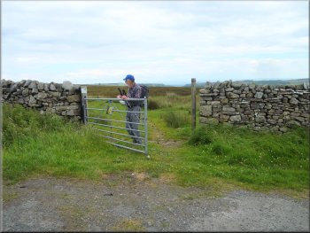
Turning off the road to a path across the fields
|
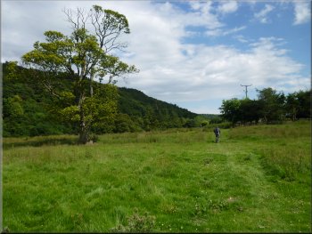
Heading across the fields towards Marske Beck
Stone arch bridge over Marske Beck
Returning to Marske on the path by the beck
We retraced our steps from here back to the car park and the end of our walk. The whole route had been 12km and it had taken us a little over four hours to walk including our lunch stop at Helwith Bridge. |
Here we turned off the road through a stone squeeze stile and followed the footpath across the fields for about 700m to a stone arch bridge over Marske Beck. We crossed the bridge and followed the path to the north of the beck for about 250m to join our outward route.
Approaching the bridge over Marske Beck
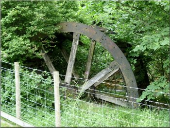
This water wheel was here on my last visit in 2001
Returning to Marske on the path by the beck
|
Returning to the parking area in Marske beside the beck
|