| 2001 walks | 2002
walks | 2003 walks | 2004
walks |
| 2005 walks | 2006
walks | 2007 walks | 2008
walks |
| 2009 walks | 2010
walks | 2011 walks | 2012 walks |
| 2013 walks | 2014 walks | 2015 walks | 2016 walks |
| 2017 walks | 2018 walks | 2019 walks |2020 walks |
| 2021 walks | 1993-2000 library | Find a Route Index |
| A few Routes to print out | Request a Route... |
Route No. 552 - Wednesday 21 May 2014
Lord Stones Cafe, Cleveland Way,
Cringle Moor circuit - 6km
Cleveland Hills, North York Moors . . .
Route map from Ordnance Survey
Open Space service.
Map: OS Explorer OL26 North York Moors Western area
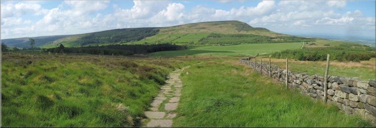
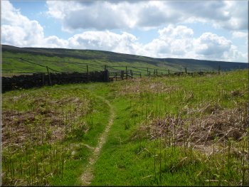
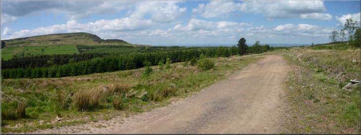
Start of the path opposite my parking spot
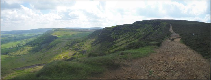
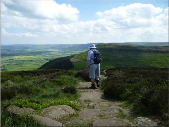
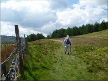
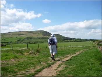
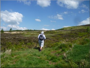
The Cleveland Way route heading for Cringle Moor
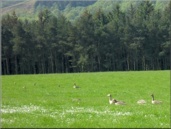
Family of greylag geese grazing a field by the path
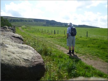
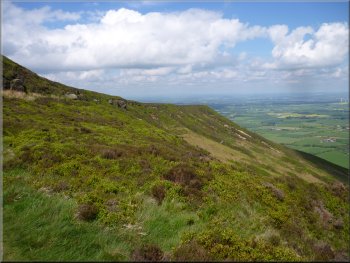
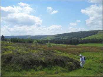
I followed the Cleveland way route for about 1.2km up to the memorial seat to Alec Falconer on the
ridge of Cringle Moor. On the way up there was a pair of greylag geese with their well grown brood all grazing in a field next to the path. At the
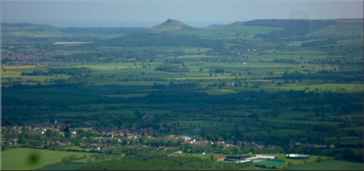
memorial seat I took a breather to admire the amazing view from here looking out over the Tees valley with Roseberry Topping away to the east, all
the industry of Teesside to the north and to the west the hazy outline of the Pennine hills. It was a lovely sight in the warm sunshine. |
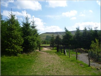
The weather forecast for today promises a fine clear warm settled day before a rainy spell tomorrow. My usual walking companion, Jim, is away on a
cruise with his wife so I drove myself up to Lord Stones Cafe at the top of the road up Carlton Bank and parked on the roadside at map ref.
NZ522031. From my parking spot I took a footpath through a pedestrian gate opposite to join the Cleveland Way route at the corner of the toilet block
at the Lord Stones Cafe site about 200m away.
Starting out past Lord Stones Cafe
Cleveland Way just beginning to climb to Cringle Moor
Alec Falconer memorial seat on the ridge of Cringle Moor
|
Looking over Broughton to Roseberry Topping from the ridge of Cringle Moor
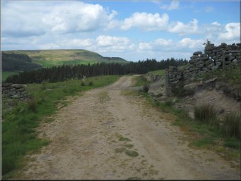
The Cleveland Way path along the ridge of Cringle Moor
|
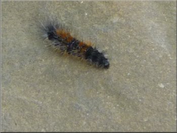
Hairy caterpillar at the memorial seat (fox moth ?)
Looking back to the memorial seat on Cringle Moor
Steep descent at the east end of Cringle Moor
Almost at the bottom of the descent at map ref.
NZ543033, I turned right to follow a path contouring round the hillside for about 200m to join a public footpath.
|
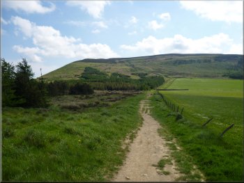
I continued along the Cleveland way following the ridge of Cringle Moor along the stone paved path. At the eastern end of the ridge the path dropped
steeply down and I could see it continuing across the saddle below and up on to Cold Moor.
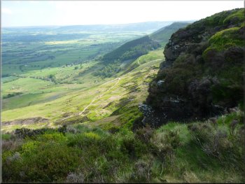
Looking east along the north side of Cringle Moor
Paved path along the ridge of Cringle Moor
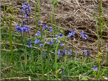
Bluebells by the path
|
Looking across the saddle to Cold Moor from the start of my path around the eastern end of Cringle Moor
|
Path around the eastern end of Cringle Moor
Path around the eastern end of Cringle Moor
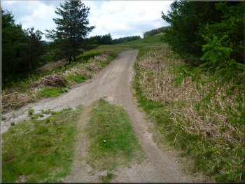
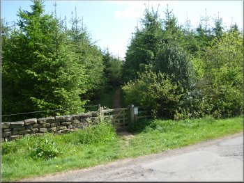
. . . but I continued straight ahead along this track
At the edge of the plantation
the public footpath drops down through a field gate and continues around the hillside. However, I continued straight ahead along a wide forest access
track for about a kilometer to map ref. NZ539023. |
Here I joined a public footpath for another couple of hundred
metres to reach the edge of a plantation (the plantation is much bigger on the ground than the one shown on my map).
Path around the eastern end of Cringle Moor
The public footpath goes through this gate & turns right . . .
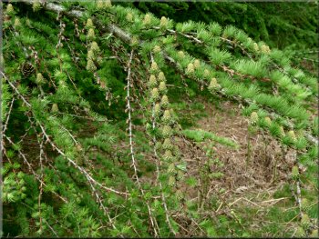
Cones starting to develop on a larch tree
|
|
|
|
|

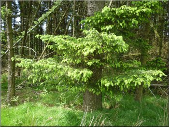
New growth on a lodge-pole pine by the track
|
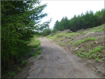
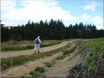
Continuing along the forest access track
|
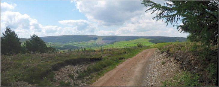
Continuing along the forest access track with a view across Raisdale
|
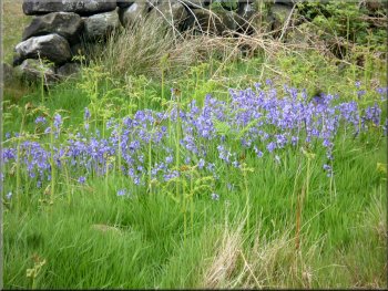
More bluebells, they're everywhere just now
Following the track around the western side of Cringle Moor
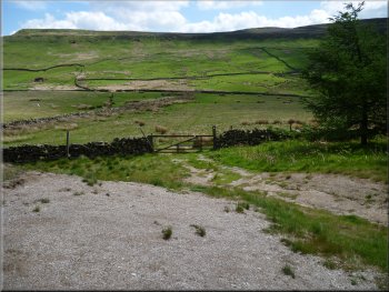
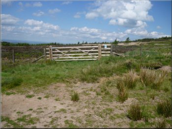
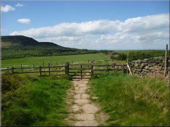
Here I kept straight on for about 100m to the edge of the plantation where there is a field gate ahead. I went through the gate and
followed a narrow winding footpath across open ground for about 130m to rejoin the Cleveland Way route at map ref. NZ531031. |
Here I rejoined the public footpath coming up a short steep climb from the left. I turned right and followed the public footpath up the slope for about
100m and then continued left along the path following a track through the plantation. After about 1km the track made a sharp left hand turn at map ref.
NZ531030.
Following the track around the western side of Cringle Moor
New growth on a Sitka Spruce by the path
|
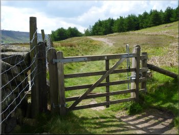
At the bend in the track just ahead I kept straight on to a gate at the edge of the plantation
|
Gate at the edge of the plantation
About to rejoin the Cleveland Way route
Heading back to Lord Stones Cafe
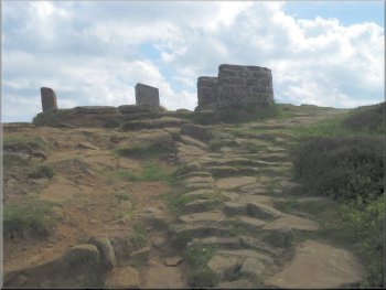
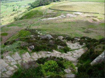
I walked up to a stone circle that looks to be fairly modern. It stands in an area called the 'Lord Stones Country Park'. |
At the Cleveland Way path I turned left and followed the Cleveland Way back towards Lord Stones Cafe. About 100m before I reached the cafe I
turned right across an open grassy area.
Path from the gate leading to the Cleveland Way route
Paved Cleveland Way path heading back to Lord Stones Cafe
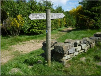
Sign post on the Cleveland way
|
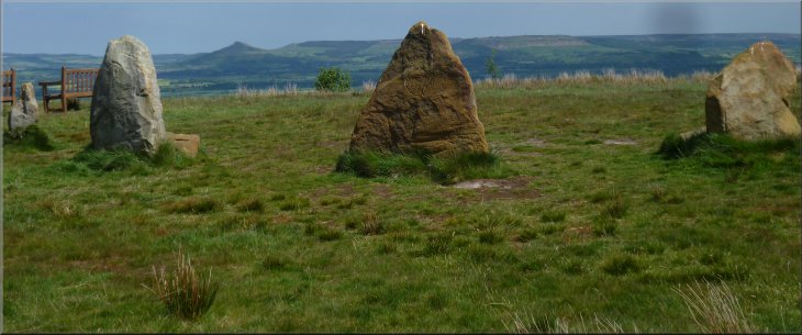
Modern stone circle near Lord Stones Cafe
|
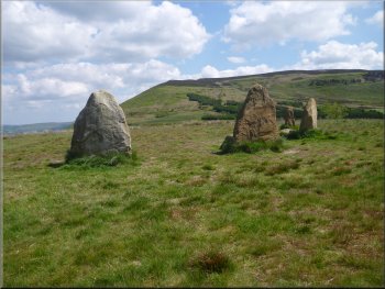
Cringle Moor seen from the stone circle
The whole walk had been only 6km and it had taken me a little over 2 hours to walk on this lovely warm sunny day. |
From the stone circle I walked down to the cafe for a coffee before returning home.

Path from the stone circle back to Lord Stones Cafe
|
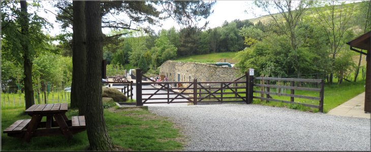
Lord Stones Cafe - a welcome stop at the end of the walk
|