| 2001 walks | 2002
walks | 2003 walks | 2004
walks |
| 2005 walks | 2006
walks | 2007 walks | 2008
walks |
| 2009 walks | 2010
walks | 2011 walks | 2012 walks |
| 2013 walks | 2014 walks | 2015 walks | 2016 walks |
| 2017 walks | 2018 walks | 2019 walks |2020 walks |
| 2021 walks | 1993-2000 library | Find a Route Index |
| A few Routes to print out | Request a Route... |
Route No.551 - Friday 16 May 2014
Burtersett, Yorburgh, Wether Fell, Cam High Road,
Blackburn Sike, Shaws Lane circuit - 10km
Wensleydale, Yorkshire Dales . . .
Route map from Ordnance Survey
Open Space service.
Map: OS Explorer OL30 Yorkshire Dales Northern & Central areas
This route is another fine contribution by Ray Brown of Northallerton.
His accounts are always fun to read. - Thanks Ray!
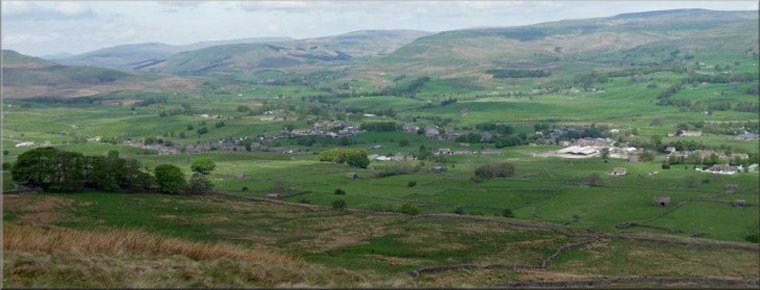
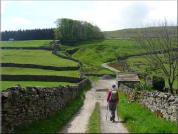
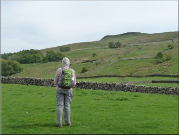
Looking back to Burtersett and River Ure from the lower slopes of Yorburgh
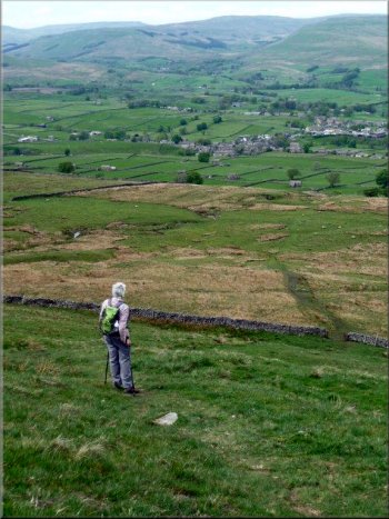
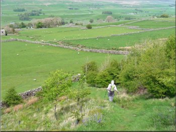
Pen Hill, Addlebrough and Wether Fell are the three hills which, from east to west respectively, lie along the south of Wensleydale. My suspicion that the summit plateau of Wether Fell might involve bog-hopping as experienced on Pen Hill turned out to be unjustified; indeed so little mud was encountered during today's trek, even after a period of wet weather, that walking boots were only essential for the steep grassy descent overlooking Hawes. This was to be no nature walk but it did afford a variety of spectacular views. |
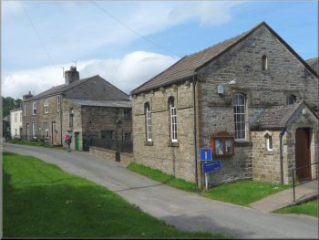
Village Institute in an old chapel at Burtersett
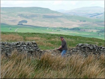
Repair to a drystone wall
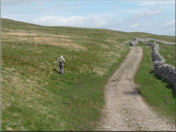
This farm track with a hard core made for easy walking and the gradient was ideal for gaining height efficiently without a need to take a "breather". After almost a mile at SD 8829 8827 a dry stone wall was being repaired and near that point the track became grassy.
|
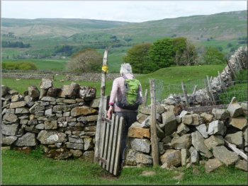
The southern verge of the road to the east of Burtersett (SD 891892) offers parking for several cars. We strolled back to the Village Institute, once a chapel, and took a bridleway on the left which we followed south from the signpost "Wether Fell 2ML".
A good hardcore track made for easy climbing
Ruined shed
|
Bridleway continues as a steep path
Old stone quarry, one of several we passed
One of the larger sink holes
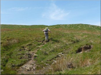
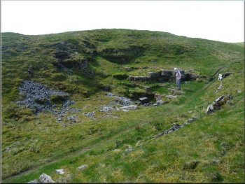
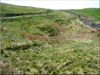
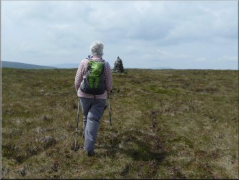
The surface alternated between gravel and finely-cropped grass. Superb views over Wensleydale were enjoyed as we passed, at SD 8770 8743, the first of several old stone quarries. With the summit of Wether Fell unseen somewhere on our left, our path followed a wall on our right, slaloming between a plethora of sinkholes.
|
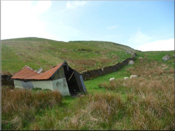
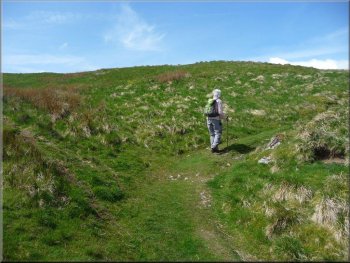
A dilapidated shed at SD 8832 8772, just before a farm gate, heralded the junction with a public footpath on the left. Staying with the bridleway we climbed more steeply to reach a fork at SD 8827 8752. Arbitrarily we chose the right fork so as to circumnavigate Wether Fell counter-clockwise.
The fork right to go around Wether Fell counter-clockwise
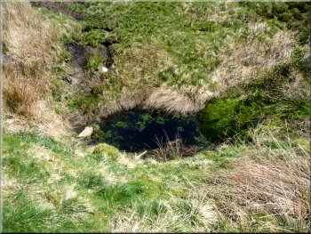
One of the smaller sink holes
Gravelled path alongside wall
|
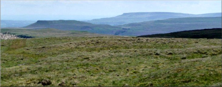
Addlebrough and Pen Hill from Wether Fell
|
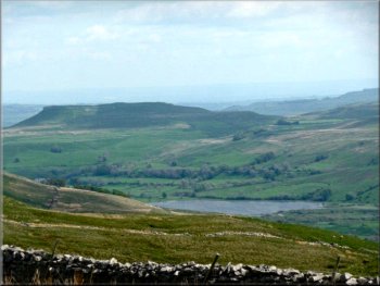
Semerwater and Addlebrough from Cam High Road
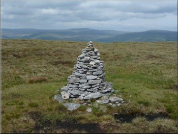
Wether Fell cairn, Drumaldrace
Leaving Cam High Road
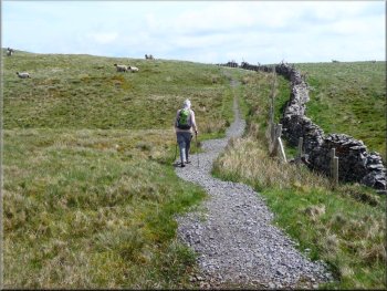
More wisely, my good lady, continued down Cam High Road to SD 8783 8675 where a vestigial micro-cairn marked the start of a faint path which led her back to re-join me at the summit cairn (SD 8737 8670). Further down Cam High Road at SD 8818 8697 a gate on the left offered a signed bridleway which allowed us, facing the crags of Yorburgh, to complete the Wether Fell loop to SD 8827 8752.
|
The path was gradually curving ever more sharply left until we found ourselves walking east to merge with Cam High Road at SD 8730 8646. From here we had a view of the west end of Semerwater, with its Addlebrough backdrop. Still unable, after ¾ of a century, to resist bagging a "peak", I struck off left in search of Drumaldrace, the highest point of Wether Fell, a "peak" so shallow that it can be seen only by those standing on it!
Cam High Road - an old Roman Road
Approaching Wether Fell cairn

Looking down on to Yorburgh with its craggy edges
|
Long steep descent towards Hawes
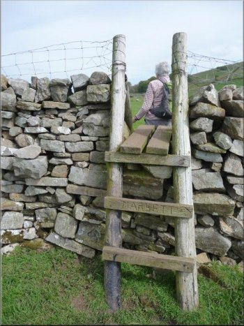
The spring-loaded, gated squeeze stile at SD 8812 8812 was but the first of such precarious impediments to be encountered in the next half-hour. Maintaining the north-west direction we descended steeply to a gate at SD 8792 8830 where the sound of falling water diverted us briefly some 100 metres west to search for the Blackburn Sike waterfall marked on the OS map. Don’t trouble! Resuming our descent we reached a second designated "waterfall" of at least a couple of metres!
|
We included a lunch stop as we were retracing our steps to SD 8832 8803 where a path on the left headed towards Gayle and Hawes.
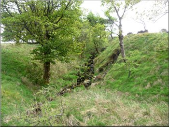
Blackburn Sike
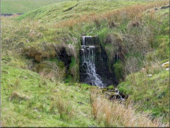
Small waterfall on Blackburn Sike
|
Final steep descent
|
One of many spring-loaded gated squeeze stiles
|
|
Final leg of easy walking
A last view of Yorburgh
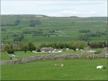
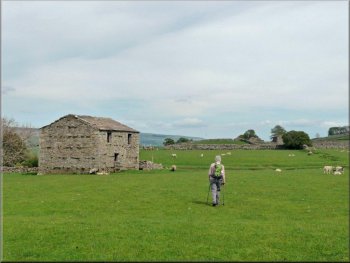
Bainbridge Ings campsite
|
After a further short steep loss of elevation we turned east over a ladder stile at SD 8767 8898 to enjoy a contrasting stroll through delicious pastures, grazed by well-fed sheep and lambs, until we reached a walled lane, called Shaws Lane, leading back into Burtersett. The whole route had been 10km and it had taken us about four hours to walk including our lunch stop. - Ray Brown
Turned east over a ladder stile

Burtersett reappears
|
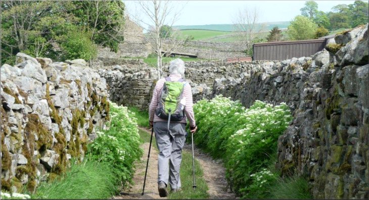
Walled lane (Shaws Lane) into Burtersett
|