|

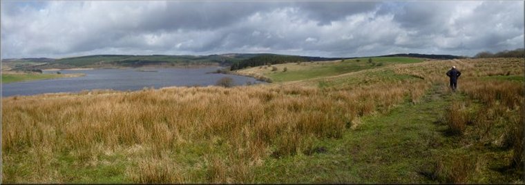
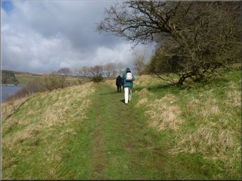
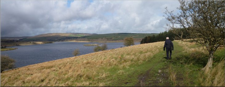
Permissive path from the car park heading north west towards the head of Stocks Reservoir
|
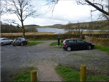
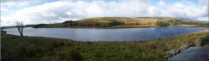
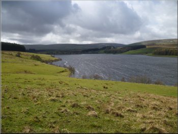
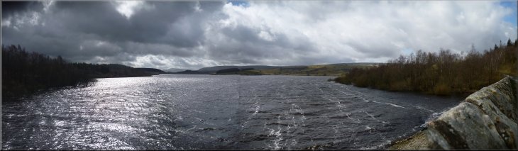
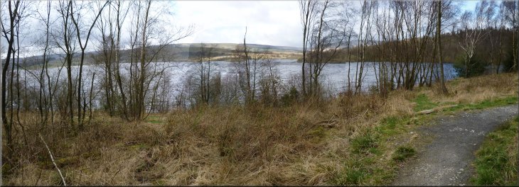
Stocks Reservoir seen from the School Lane car park
Path from the car park near the bird watching hide
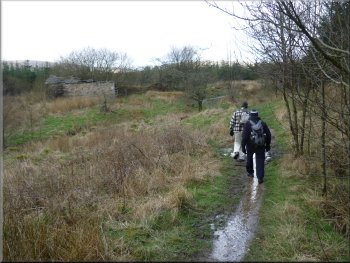
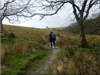
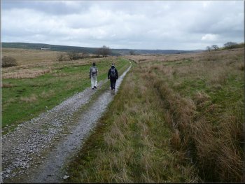
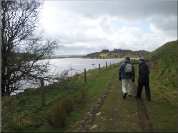
From the car park we followed a
permissive path along a track heading north west towards the head of the reservoir. After a few hundred metres there was a bird watching hide to the
left of the path at the edge of the reservoir. We had a look inside and it was equipped with comfortable plastic garden chairs and lots of information
pinned to the walls about the bird life to look out for. We continued on our way with John out in front and George a bit behind. He called John and
myself back to see some newts he had spotted in a clear deep pool just off the path. |
Each Spring for the last ten years we have had a short break with my wife's sisters and their husbands, somewhere with good walking for the
brothers-in-law and some good sightseeing for the sisters. This year we are staying near Chipping in the Forest-of-Bowland in Lancashire. This
morning we drove to the water company School Lane car park at Stocks Reservoir on the edge of Gisburn Forest at map ref. SD732565. The
weather was a bit mixed with some good sunny spells and some dark shower clouds about with a cold wind.
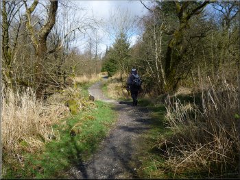
Setting off along the permissive path from the car park
Footpath heading out to the edge of the forest
|
View of the reservoir from the bird watching hide (the window flap is visible in the bottom right hand corner)
|
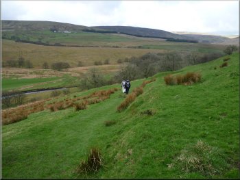
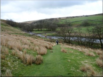
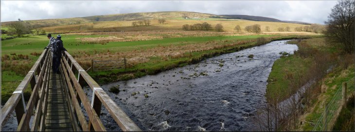
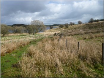
Path across the fields towards Hasgill Beck
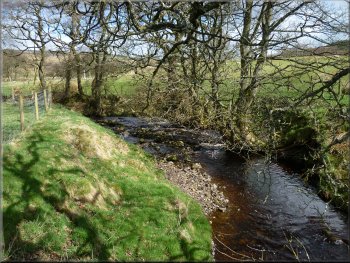
Hasgill Beck
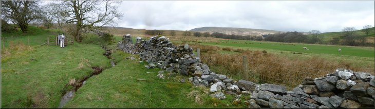
This was on the old access road to the farms here before the reservoir was built. We crossed the bridge and followed
a long straight track climbing up the hillside to the ruins of New House farm. Behind us there was a fine view down the length of Stocks Reservoir
below us. |
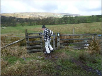
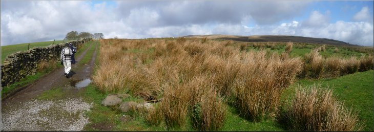
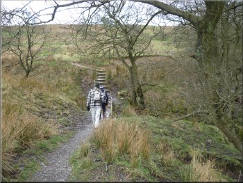
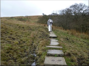
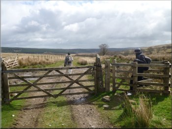
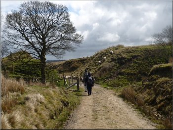
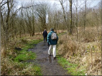
The path was in the edge of the Gisburn Forest and after about
700m from the car park we joined a public footpath that led us to the edge of the forest and then across the fields to Lock Bridge over the Hasgill
Beck at map ref. SD724573.
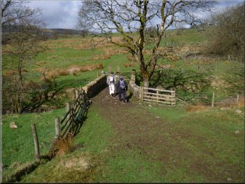
Lock Bridge over Hasgill Beck
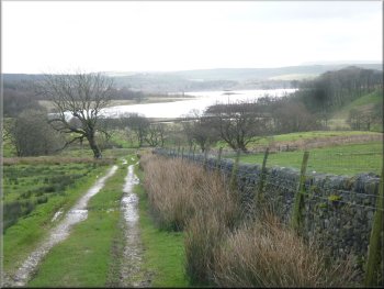
Looking back along the length of Stocks Reservoir
|
Track climbing up to New House farm
|
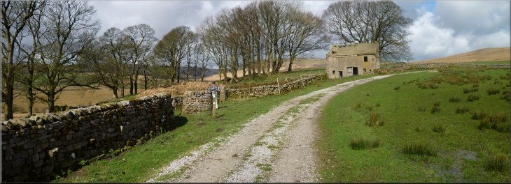
Our turning left off the track just past the well at New House farm
|
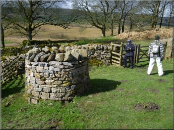
The well at the ruins of New House farm
The zig-zag path down to the River Hodder
We followed the path around the site of the farm and along a zig-zag path dropping down the steep valley side to a footbridge over the River Hodder
at map ref. SD717579. |
At the ruins of New House farm we turned left off the track just beyond the circular parapet wall around the well.
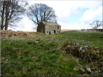
Looking back to the ruins of New House farm
Path to the foot bridge over the River Hodder
|
Footbridge over the River Hodder
|
Paved path climbing up from the site of Collyholme farm
Paved path climbing up from the site of Collyholme farm
This track is the bed of an old railway. Here we turned left to
follow the path along the old railway bed down towards the reservoir. |
From the footbridge the path crossed the field to the site of Collyholme farm (not even any ruins left ) and then climbed south
west up the hillside along a paved path to meet a track running south east at SD712573.
Paved path climbing up from the site of Collyholme farm
Path along the bed of the old railway track
|
Path through the site of the former Collyholme farm
|
Following the path along the bed of the old railway
Some distance behind was another
farm vehicle and the shepherd driving this one stopped occasionally to walk out with his dog to collect a ewe that already had lambs. It seemed that
the flock was being gathered for lambing near the farm. We stood by the path until the quad bikes and flock had passed. Then we continued along
the track as it bent round to our right. |
There were large groups of Swaledale sheep about and we saw in the distance
a shepherd on a quad bike with his dog riding on the back coming up the track towards us. He was calling out as he slowly progressed up the track
and sheep were coming to him from all directions. He was gathering a very large flock following his quad bike.
Approaching a cutting on the old railway
|
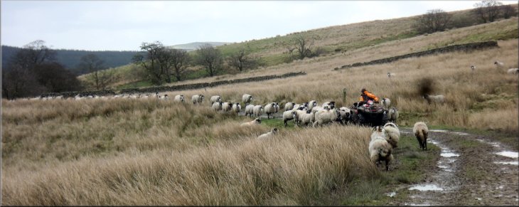
Shepherd gathering his flock of Swaledale ewes for lambing time
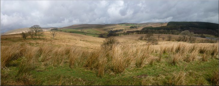
Looking north east from the path along the old railway across the valley of the River Hodder upstream of the reservoir
Continuing along the old railway path down towards the reservoir
|
The old railway path leading towards the Fishing Lodge
The old railway path leading towards the Fishing Lodge
Here there is a cafe (open to walkers too) at map ref.
SD718553. Just before the fishing lodge there is a jetty with numerous small boats used by anglers on the reservoir. |
We found a spot below the track sheltered from the cold wind for our lunch stop and then continued along the
track to the fishing lodge.

The old railway path leading towards the Fishing Lodge
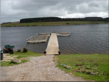
Angling boats moored at the jetty below the Fishing Lodge
|

Metalled road from the Fishing Lodge towards the dam
Angling boats moored at the jetty below the Fishing Lodge
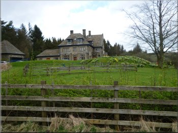
This elaborate building is
now the water company's Bowland Estate Office but originally it was the offices of the Fylde Water Board who had the reservoir built in the 1930's. |
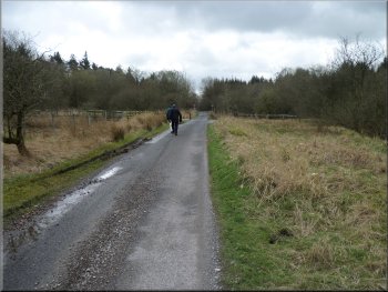
From the fishing lodge we
walked along the metalled access road to the Stocks Board House at the north western end of the Stocks Reservoir dam.
Looking towards the dam from the access road
The Board House - offices of the Bowland Estate
|
Path leading to the crest of the dam at Stocks Reservoir
|
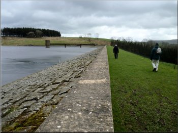
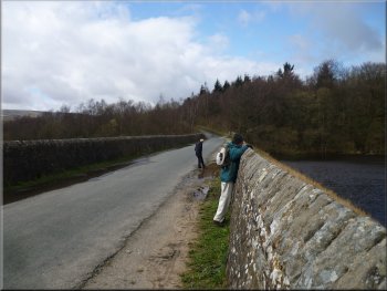
Walking along the crest of the dam at Stocks Reservoir
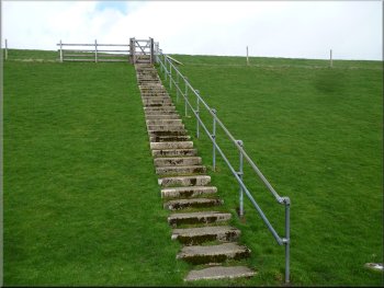
Path coming down from the crest of the dam
The track here is the bed of the old narrow gauge
railway built from the road head at Tosside about 8km away to service the dam construction site. The railway was removed once the construction was
complete. |
From the Board House we followed the path across the dam crest and down the steps at the far end to cross the bridge over the reservoir spillway.
Once across the bridge we followed the path to the left with the reservoir outlet weir to our left.
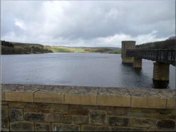
The valve tower at Stocks Reservoir
Joining the path beside the reservoir spillway
|
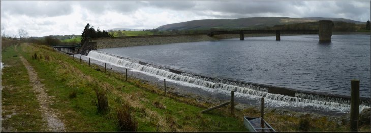
The spillway at Stocks Reservoir
|
Path along the route of the railway used to build the dam
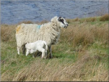
Lambing time around the reservoir
The path led us
through a forestry plantation to the public road at map ref. SD736556. |
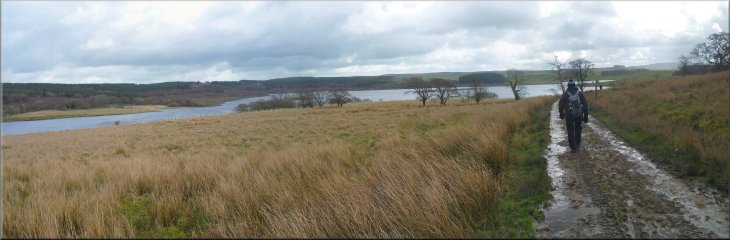
We walked along this path around the edge of the reservoir with lovely views across the water in the spring sunshine.

Looking across the reservoir to the Fishing Lodge
Looking back down the reservoir towards the dam
|
Looking north along the reservoir from the old railway path
|
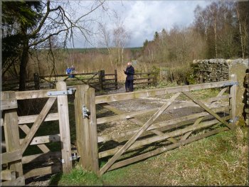
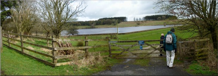
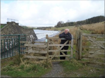
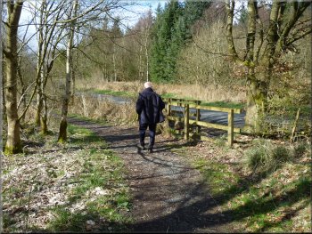
Gated enclosure where the path meets the public road
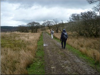
Path between the road and the reservoir's edge
We followed this footpath through the birch wood to the causeway over the Bottoms Beck
branch of the reservoir. |
From here I was expecting to have to walk along the road back to the car park
but it turned out that there is a very pleasant footpath between the road and the reservoir
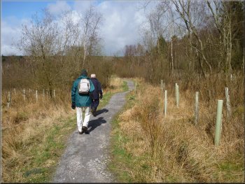
Path between the road and the reservoir's edge
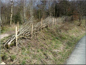
One of several examples of hedgelaying we saw on this walk
|
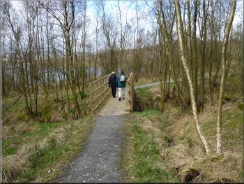
Looking down the reservoir towards the dam from the causeway over Bottoms Beck
|
The causeway over Bottoms Beck
Path from the causeway between the road and the water's edge
The whole walk was 11km (according to my
GPS gadget) and it had taken us about four and a half hours to walk including our lunch stop and far too many photographs. |
On the far side of the causeway the footpath continued between the road and the reservoir making for a very pleasant finish to
the walk leading to the bend in the road at map ref. SD732565 where the car park entrance is located.
Path from the causeway between the road and the water's edge
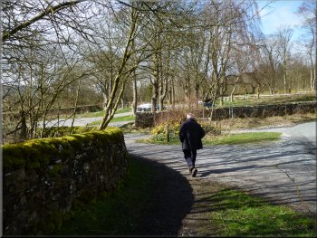
Returning to the car park at the end of the walk
|
Path through the birch woods at the water's edge near the end of the walk
|