| 2001 walks | 2002
walks | 2003 walks | 2004
walks |
| 2005 walks | 2006
walks | 2007 walks | 2008
walks |
| 2009 walks | 2010
walks | 2011 walks | 2012 walks |
| 2013 walks | 2014 walks | 2015 walks | 2016 walks |
| 2017 walks | 2018 walks | 2019 walks |2020 walks |
| 2021 walks | 1993-2000 library | Find a Route Index |
| A few Routes to print out | Request a Route... |
Route No. 515 - Saturday 3 August 2013
Golden Acre Park, Eccup, Bramhope,
Paul's Pond, Breary Marsh circuit - 9km
Leeds . . .
Route map from Ordnance Survey
Open Space service.
Map: OS Explorer 297 Lower Wharfedale & Washburn Valley
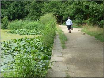
Path by the lake in Golden Acre Park
|
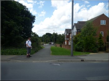
Leaving the car park at Golden Acre Park
Path through Golden Acre Park
The park was developed in the 1930's as an early theme park with many visitor attractions.
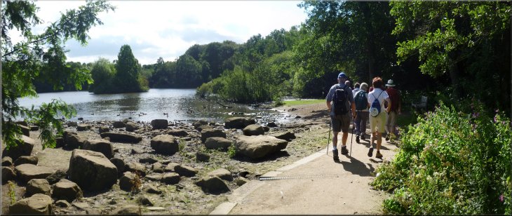
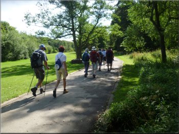
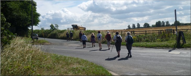
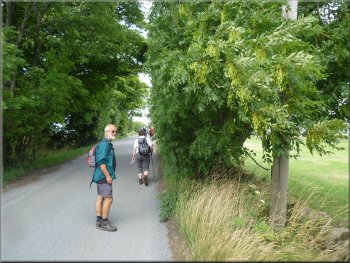
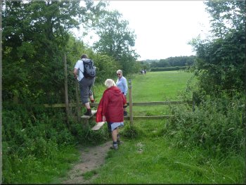
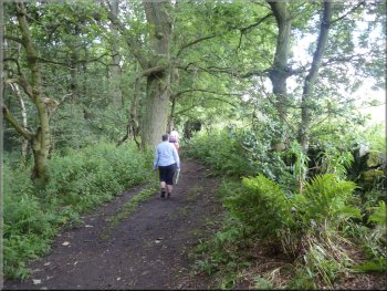
We left the car park along the path at the southern corner of the car park where there is a footpath under the stone road bridge (A660) and into Golden Acre Park. It's a very attractive park that you could easily spend a couple of hours wandering round and there's a cafe and toilets there too. We followed the path through the park along the south western edge of the lake. There are lots of ducks and geese and usually plenty of people offering bread to feed them all. |
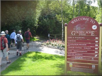
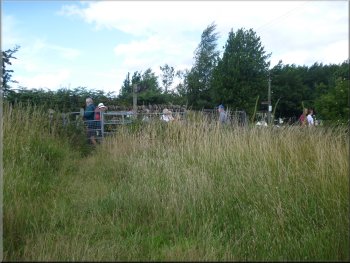
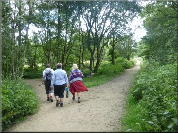
Around this time each year we usually have a walk with a few friends led by Lynn and Geoff, our friends who live in Wetherby. Then after the walk, not too taxing, we all go to their house for a barbecue. Geoff's barbecues are legendary and Lynn quietly adds all the trimmings to make it a wonderful meal and a really special occasion. Anyway today's the day we've all been looking forward to. We all met at the car park at Golden Acre Park near Bramhope off the A660 at map ref. SE266417.
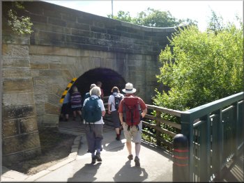
Path under the road bridge (A660) to the park
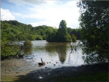
The lake in Golden Acre Park
|
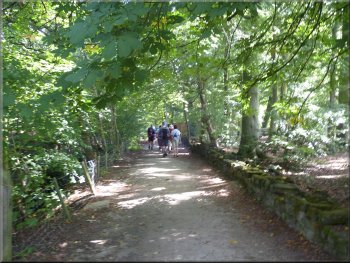
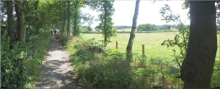
Leeds Country Way leaving Golden Acre park
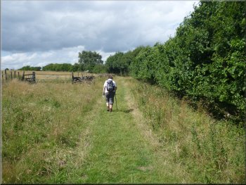
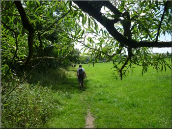
There's another smaller lake in the reserve and it's the dam at this lake that's called Adel Dam. We followed the bridleway for about 700m to a road junction at map ref. SE276416. We crossed the junction and walked along the road opposite for about 300m to Five Lane Ends. |
We followed the path to the dam at the end of the lake. Just beyond the dam we turned left on to a bridleway heading north east parallel to the dam, past the entrance to Adel Dam Nature Reserve.
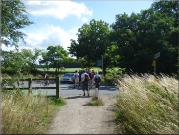
Crossing the road junction at map ref. SE276416
|
Crossing the road junction to join Eccup Lane at Five Lane Ends
|
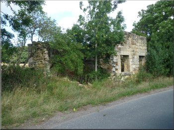
Ruined house beside Eccup Lane
Turning off the track to a path across the fields
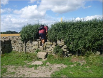
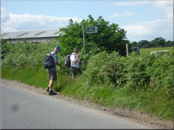
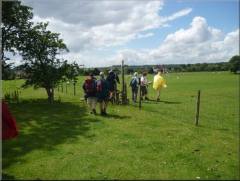
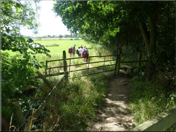
Here we turned left off the lane and followed a track up the side of Bank House Farm. After 300m we turned left off the track over a stile to a path across the fields. After 400m this path brought us to a road at map ref. SE287427. |
We crossed this junction and took the lane opposite called Eccup Lane. We walked along this lane for about 1.3km to Bank House Farm on the edge of Eccup village at map ref. SE290423.
Turning off Eccup Lane at Bank House Farm
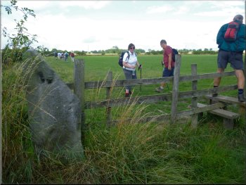
Another stile on the path across the fields
|
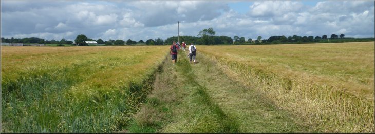
Path across the fields to a road at map ref. SE287427
|
Turning off the road to continue across the fields
Path across the fields leading to Lineham Farm
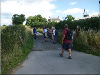
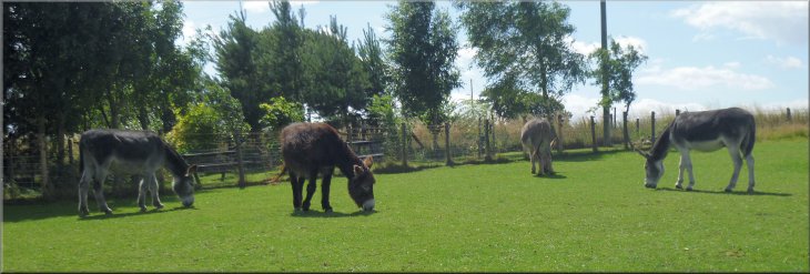
Joining the access road into the donkey Sanctuary
After about 500m we passed Lineham Farm on our right where there is a children's activity centre. |
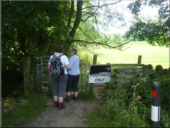
We crossed the road and crossed a stile a few metres to our left where the path continued across the fields.
Path across the fields by-passing Brookland Farm
Path across the fields leading to Lineham Farm
The access road into the Donkey Sanctuary
|
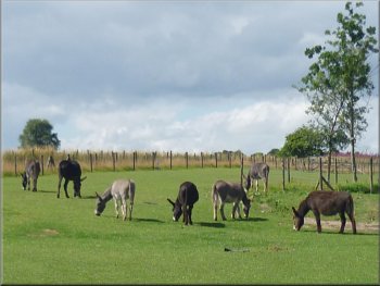
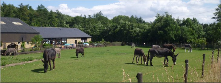
The donkey sanctuary
|
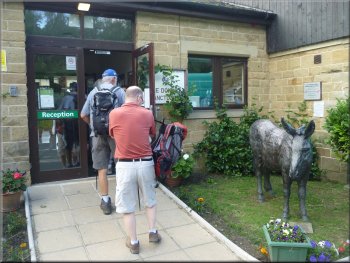
Entrance to the donkey sanctuary visitor centre
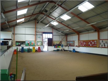
Indoor riding area at the donkey sanctuary
We had a look around the indoor riding area and a whole series of loose boxes for the animals before continuing on our way. |
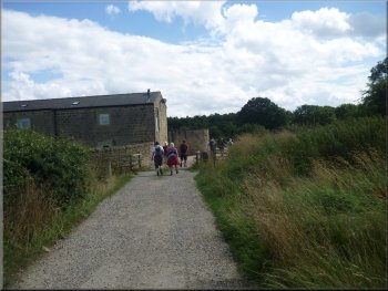
About 200m beyond Lineham Farm there is 'The Donkey Sanctuary Assisted Therapy Centre', part of a national organisation. They have a visitor centre with a cafe where we had a coffee and a snack.
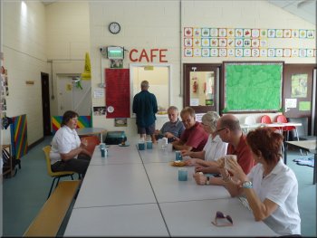
The cafe at the donkey sanctuary
The donkey sanctuary
|
Looking back from the track to the donkey sanctuary
|
The track leaving the donkey sanctuary
Path across the fields from the donkey sanctuary
The road near East Breary farm
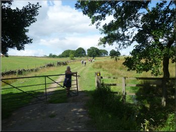
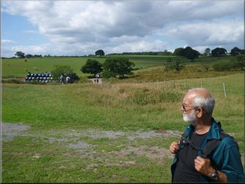
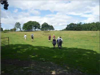
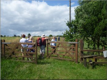
We turned right along the road for about 100m and then turned left off the road to follow the path across the fields, all sheep pasture, for a little over 1km, past Breary Grange, to emerge on to the road (A660) in Bramhope next to two shops with mock Tudor frontages. |
From the donkey sanctuary we followed the path across the fields heading roughly westwards for about 900m to a road near the entrance to East Breary farm at map ref. SE271429.
The track leaving the donkey sanctuary

Stile on to the road near East Breary farm
Path across the fields past Breary Grange
|
Approaching the road (A660) in Bramhope
|
Path along The Sycamores in Bramhope
Path across the fields to Marsh Beck
Path beside Marshes Plantation just beyond Marsh Beck
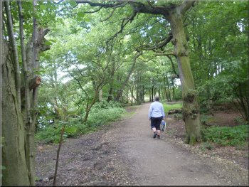
From there we continued along the path at the edge of a wood called Marshes Plantation for about 250m to map ref. SE257416. Here we turned left to follow a bridleway past a very well renovated stone farm house on our left. About 250m beyond this farm house we came to a gate into some woodland. |
I can remember getting off the bus in front of two shops here in the 1950's when as a little boy I was brought to visit my grandparents in Bramhope. There's a traffic roundabout here now and we crossed the road and followed a lane opposite called 'The Sycamores'. After about 150m we turned right off the lane on to a path along the straight edge of the fields for about 800m to cross Marsh Beck.
Our turning off The Sycamores
Path across the fields to Marsh Beck
Restored stone farm house by the path
|
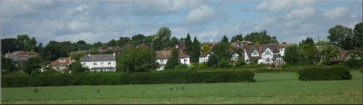
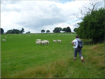
Looking back across the fields to Bramhope village
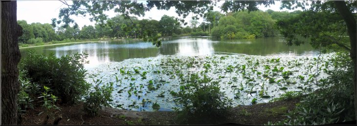
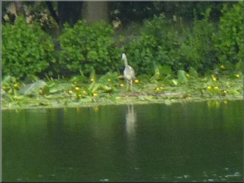
Paul's Pond in the Breary Marsh Nature Reserve
|
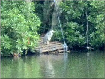
A heron fishing by Paul's Pond
The path around Paul's Pond
Leaving Paul's Pond through the woodland
They are clearly used to people passing by and did not fly off. As we approached our starting point at the northern end of the pond we turned right and followed a path through the woods parallel to the stream from the outlet of the pond. |
This woodland is the start of the Breary Marsh Nature Reserve. There is a large pond called Paul's Pond and we followed the path all the way around the edge of the pond back to our starting point. It's a very pretty place and we saw two herons fishing at the edge of the pond.
The path around Paul's Pond
A heron fishing by Paul's Pond
Woodland path through the nature reserve
|
Woodland path through the nature reserve
|
Our turning to head back to the car park
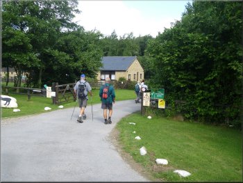
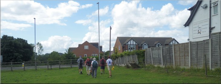
The whole route had been 9km and it had taken us about four hours to walk including our stop at the donkey sanctuary cafe. We rounded off our day with the short drive to Wetherby and an excellent barbecue meal in the garden at Lynn & Geoff's home. |
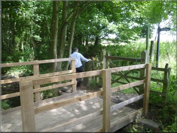
After about 300m the path turned right and after another 150m we took a turning on the left that led us through the birch wood back to a footbridge over Marsh Beck, next to the stone road bridge over the beck. From the footbridge we walked along the path back into the car park and the end of our walk.
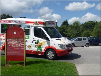
Ice cream van back at the car park
|
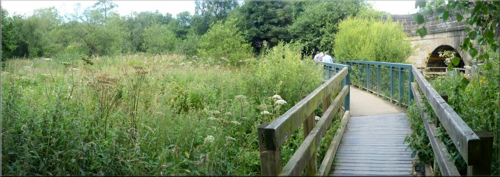
Footbridge over Marsh Beck leading back to the car park
|