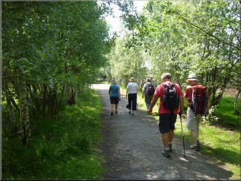
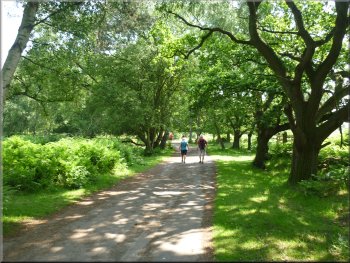
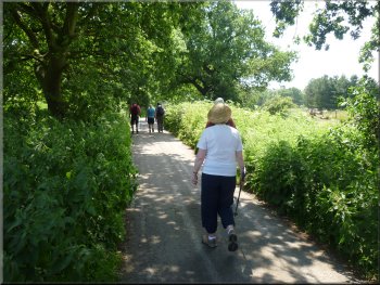
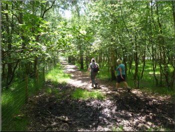
Setting out along the lane from the car park into the Skipwith Common National Nature Reserve
|
|
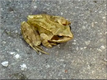
Common frog by the lane
This part of the site had been an RAF airfield during the
second world war. The car park is on a remnant of an old airfield taxiway and the lane into the reserve is an old road into the airfield. A few hundred
metres into the reserve we crossed one of the old runways and there was a lovely little frog by the lane that kindly posed for a photo. |
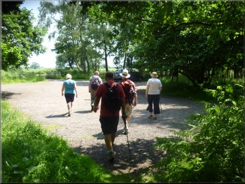
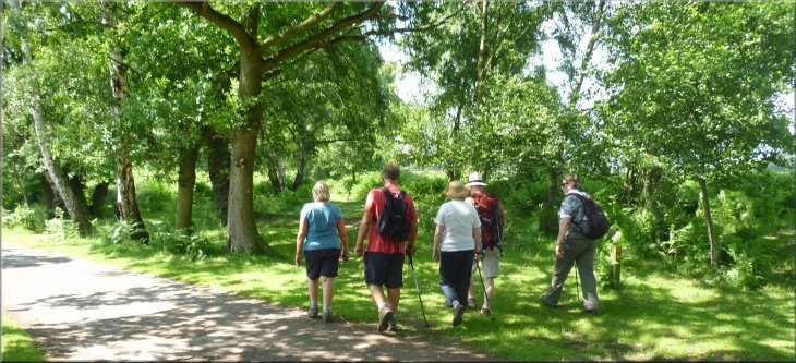
This morning my wife and I joined a few friends for our usual monthly walk together. We all met at a car park on the edge of the Skipwith Common
National Nature Reserve at map ref. SE642374 about 2km east along a lane from the A19 at Riccall. It was a hot sunny summer's day, perfect! From
the car park we continued along the lane over a cattle grid and into the nature reserve.
Following the lane into the reserve
|
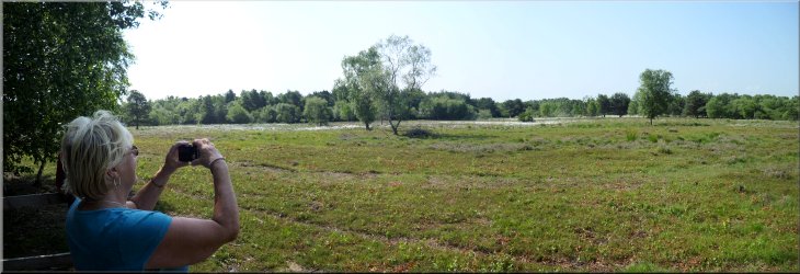
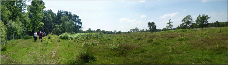
Looking out over the heathland from the viewing platform
|
Starting round the 'Bomb Bay Loop'
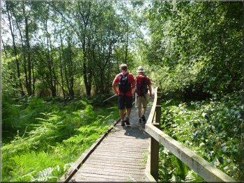
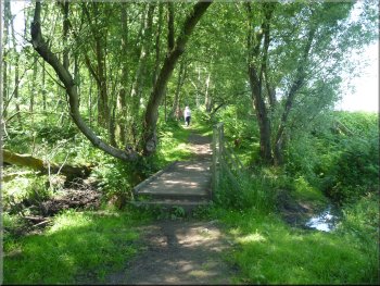
Boardwalk to another viewing platform
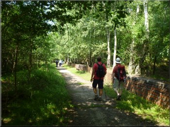
Path past the old wartime bomb storage bays
After about 150m we came to an old
WW2 aircraft propeller mounted beside the track as a memorial to those who served at this airfield. We continued around the loop past some large
bays by the track with a brick end wall and top slab that looked as if they had been loading bays where bombs and ammunition was stored on the old
airfield. We continued around the loop to another boardwalk to a view point over the heathland to one of the ponds created by digging peat as a fuel
in the past. We returned to the track and completed the loop past more bomb bays and returned to the five way junction where we had started this
loop. |
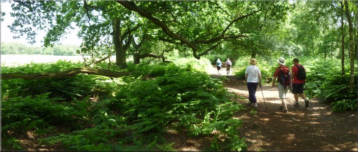
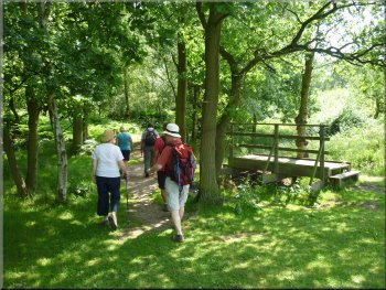
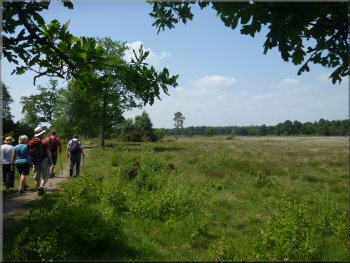
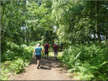
We continued
through the woodland and a little further on we turned off to the right on a board walk to a view point at the edge of the trees looking out over the
heathland and the sea of white cotton grass flower heads. From the view point we returned to the lane and followed it to a five way junction at map ref.
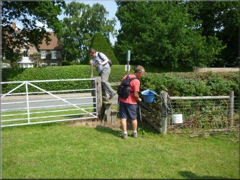
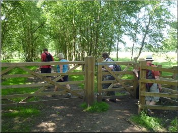
SE652373 a little over 1km from the car park. Across the junction bearing to our right was a wooden field gate and pedestrian gate beside it. We went
through this gate and followed the track heading south east on a part of the walk called the 'Bomb Bay Loop'.
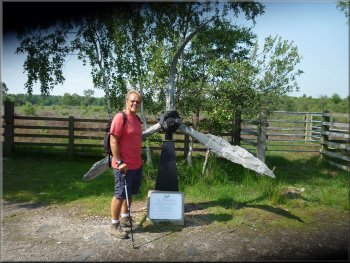
Wartime propeller set up as a memorial
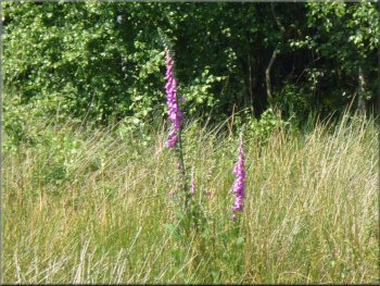
A foxglove on the heath
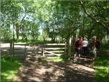
Leaving the Bomb Bay Loop
|
|
|
|
|
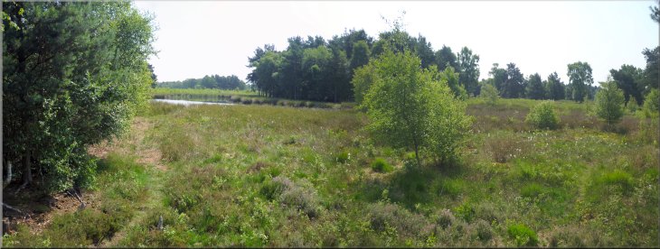
View over the heath to a pond formed by peat digging
|
Following the main track through the reserve
Gate out of the reserve leading to Skipwith village
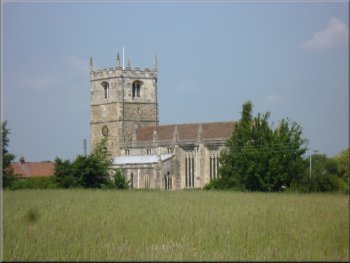
Skipwith church seen across the fields
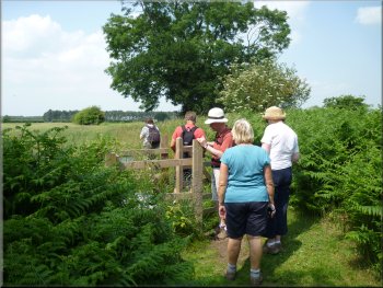
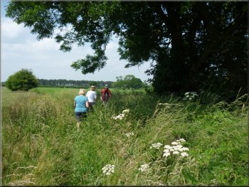
We went through this gate and followed the path along the field edge for about
30m where the path turned sharp right over a ditch and into another field. We followed the path along the edge of several fields with crops in them
and a good view of Skipwith church to our left until we reached a stile into a field with a horse grazing. The horse took no notice of us and we crossed
this field to a stile on to the road in Skipwith village at map ref. SE658384. |
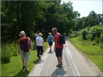
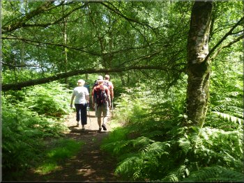
Back at the junction we turned right and walked along the track heading north east. We walked through this very pleasant woodland with that
lovely dappled sunlight effect for almost 900m to another junction in the tracks at map ref. SE659378. Here we turned left off the track to follow a
footpath along the edge of the woodland with farmland away to our left. After about 250m we came to a corner of the reserve and hidden in the tall
bracken on our left was a wooden pedestrian gate out to the fields.
Path along the edge of the reserve to Skipwith village
Path across the fields to Skipwith village
Crossing the stile to the road in Skipwith village
|
Path across the fields to Skipwith village
|
Walking through Skipwith village
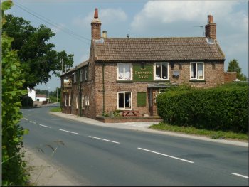
The Drovers Arms in Skipwith
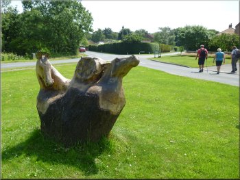
Horses head sculpture on the village green in Skipwith
After our break we returned to the pond on the green where there is a sculpture of two horses heads carved
from the stump of a tree. At the southern corner of the green at map ref. SE664384, we took the lane heading south back to the Skipwith Common
Nature Reserve. |
We walked along the road through the village to the junction with a small
green and the village pond. Here we turned left and walk along the road for about 100m to the Drovers Arms
where we had a very pleasant pub lunch.
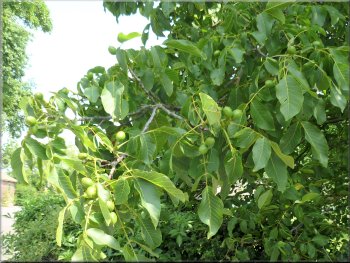
Walnut tree overhanging a garden wall
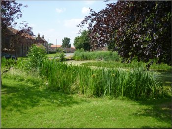
The pond on the village green in Skipwith
The lane from Skipwith village back into the nature reserve
|
Path off the lane through the northern edge of the nature reserve
|
The lane from Skipwith village back into the nature reserve
Path through the northern edge of the nature reserve
Path parallel to the road
We followed the path for about 400m to the edge of the wood by a road. There is a gate here on to the road but we turned
right still following the path but now around 20m into the wood next to the road. We continued on the path alongside the road heading south for
almost 400m to a small car park at map ref. SE669377. |
Walking along this lane we soon left the houses of the village behind us and followed the lane along the edge of some woodland.
We crossed into the nature reserve and at a sharp right hand bend in the lane, map ref. SE665380, we turned left off the lane to walk along a path
through the woodland.
Our turning off the lane at a sharp bend
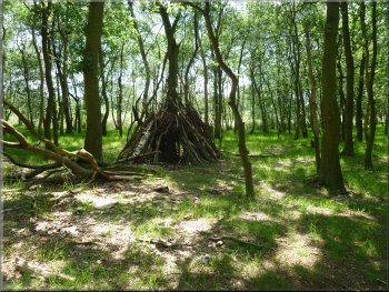
A children's den just off the path
Approaching the car park where we turned right (west)
|
Sandy track across the heath of the reserve
|
The car park where we turned right (west)
Sandy track across the heathland of the nature reserve
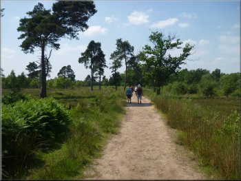
Sandy track across the heath of the reserve

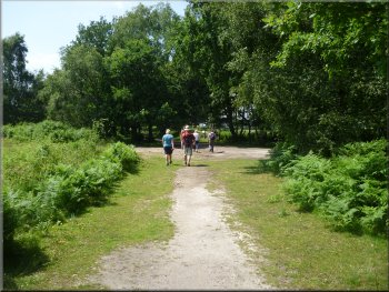
We followed this track for about 1km back to the junction in the tracks where we had earlier turned on to
the footpath to Skipwith village. At the junction we turned left and walked back along the track for about 50m. |
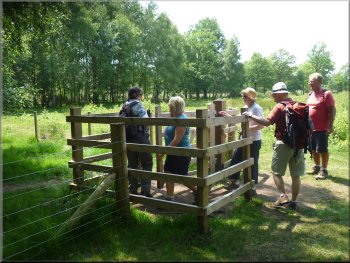
Here we turned right through a gate at the edge of the car park to walk along a sandy track
across the heathland of the nature reserve.
Leaving the car park heading west
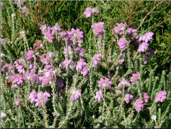
'Cross-leaved heath' or Erica tetralix is a wet heathland heather
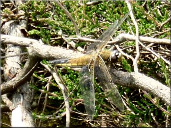
A 'four spot chaser' - a rare dragon fly
Junction in the tracks at map ref. SE659378
|
Turning off the track on to a footpath along the edge of the nature reserve
|
Path around the edge of the reserve
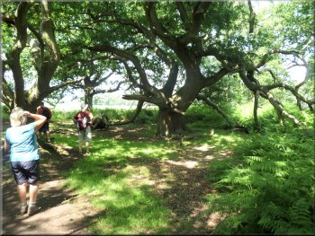
Lovely old oak tree by the path
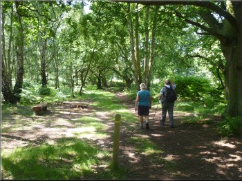
Path around the edge of the reserve
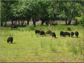
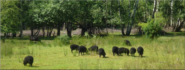
Hebridean sheep grazing the reserve
The whole walk had been 10km and it had taken us four hours to
walk including a very leisurely pub lunch. This whole route is waymarked as the 'Yellow Route - Skipwith Explorer' around the reserve and you can
download details of it from the Skipwith Common web site |
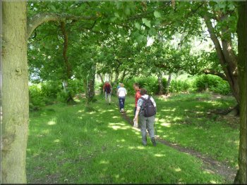
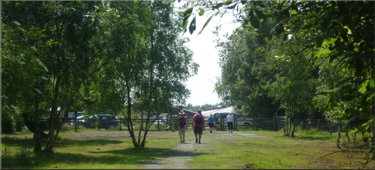
Then we took a path bearing off the track
to the right and following the edge of the woodland on the reserve. We continued along this very pleasant path through the woods for about 1.4km to
map ref. SE647377. Here we could see a large farmstead, called Adamson Farm, in the fields beyond the nature reserve. Our path took us round to
the left to follow an old airfield runway back to the car park where we had started.
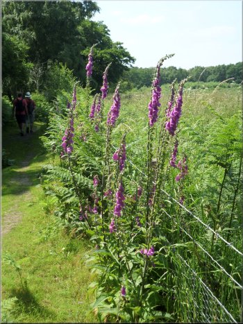
Foxgloves by the path
Path around the edge of the reserve
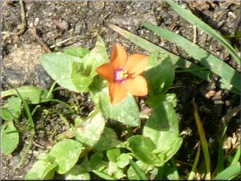
A tiny Scarlet Pimpernel flower on the path
|
Approaching the car park at the end of our walk
|