| 2001 walks | 2002
walks | 2003 walks | 2004
walks |
| 2005 walks | 2006
walks | 2007 walks | 2008
walks |
| 2009 walks | 2010
walks | 2011 walks | 2012 walks |
| 2013 walks | 2014 walks | 2015 walks | 2016 walks |
| 2017 walks | 2018 walks | 2019 walks |2020 walks |
| 2021 walks | 1993-2000 library | Find a Route Index |
| A few Routes to print out | Request a Route... |
Route No. 510 - Thursday 4 July 2013
Kirkby Stephen, River Eden, Greenriggs,
Waitby, Nature Reserve circuit - 10km
Eden Valley, Cumbria . . .
Route map from Ordnance Survey
Open Space service.
Map: OS Explorer OL19 Howgill Fells and Upper Eden Valley
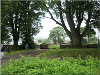
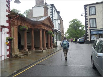
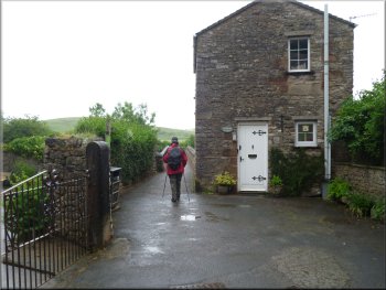
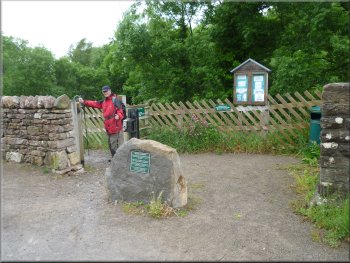
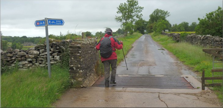
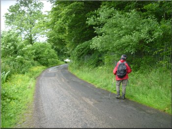
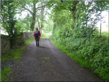
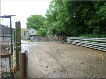
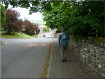
Leaving the car park on the path to the town centre
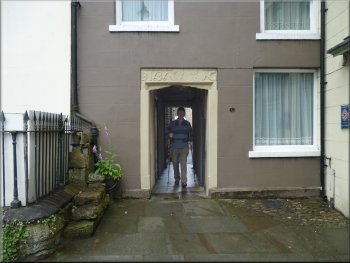
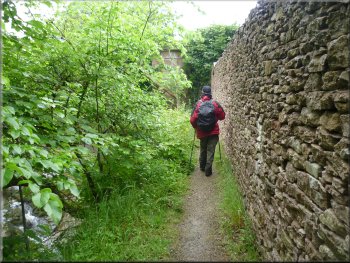
The path passes through an alley way to the town centre
From the
end of car park furthest from the road we followed a pedestrian alleyway down the side of the auction mart, across Faraday Road and then
between the buildings to emerge through an archway dated 1636 into Market Street. It was still raining and quite blustery so we decided to give
the rain a chance to die away a bit by having a coffee at a cafe in Market Street before continuing our walk. |
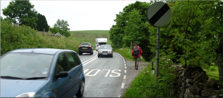
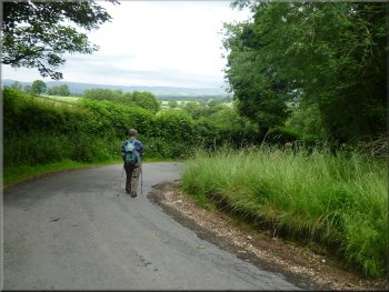
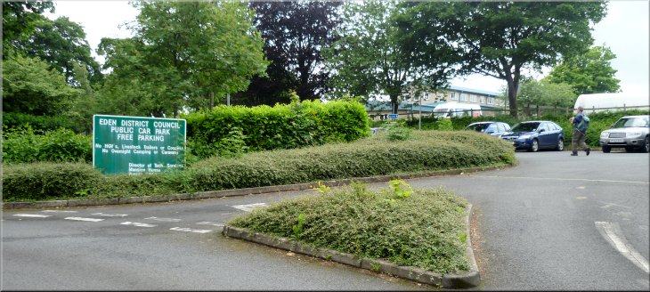
This morning my friend, Jim, and I drove to Kirkby Stephen in Cumbria. It's a little over an hour's drive but the countryside is well worth th effort.
We parked at the large free car park at map ref. NY772088, off the road called 'Christian Head' between the firestation and Kirkby Stephen
Grammar School. The weather forecast was for rain until around 11.00am and then gradually brightening through the rest of the day.
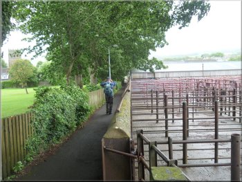
The path to the town centre past the auction mart
Red sandstone portico at the churchyard entrance
|
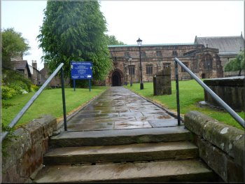
The Parish church at Kirkby Stephen
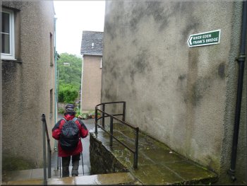
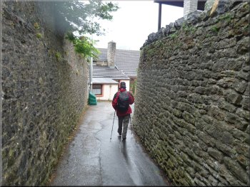
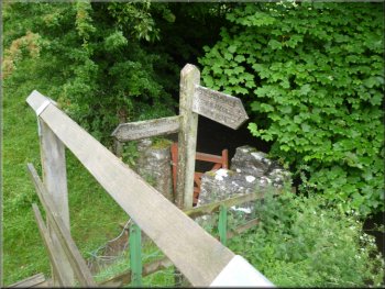
Heading for Frank's Bridge from the main street
The signs led us
along an alleyway, down some steps and out to the stone arch footbridge known as Frank's Bridge. It was still raining but now it was just fine
drizzle that died away completely in the next half hour. We crossed Frank's Bridge with very pretty views along the River Eden. |
About half an hour later we set off
again opposite the alleyway that had brought us into Market Street. We walked along the road in front of an old red sandstone portico over the
entrance to the churchyard and followed the green and white signs pointing the way to the River Eden and Frank's Bridge.
Heading for Frank's Bridge from the main street
The approach to Frank's Bridge
|
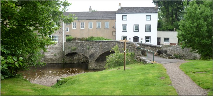
Frank's Bridge over the River Eden at Kirkby Stephen
|
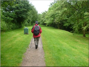
Footpath by the River Eden from Frank's Bridge
The River Eden from the path along the riverside
The River Eden from the path along the riverside
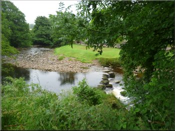
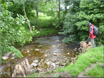
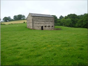
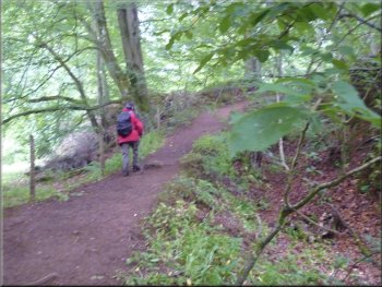
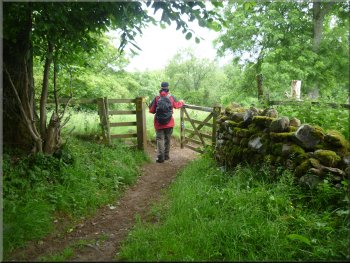
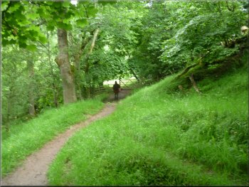
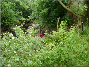
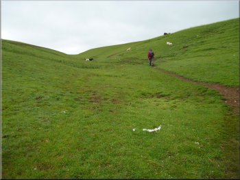
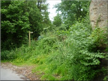
Here we turned off the gravel path and headed south along the river bank
there is no discernible path and we just walked along the edge of the trees above the river. The river bent round to our left and we continued to
follow it past a very large stone barn to a sharp right hand bend in the river. |
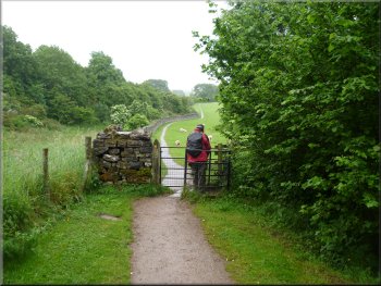
Across the
bridge we turned right to follow a gravel path heading east following the river upstream. After about 300m we came to an iron pedestrian gate
into a large sheep pasture. The gravel path continued along the edge of this field but about 30m into the field there is a wooded finger post
indicating a route off to the right heading south still following the river.
30m beyond this gate we turned right to follow the river
Path across the field - the river is to the right
Large stone barn by the path
|
|
|
|
|
Footbridge over Pod Gill
Bridleway to the east of the River Eden
The 'February' stone on the 'Poetry Path'
The upper poem
reads, "Snow light peer at the byre door. Neither day nor night. Four months ago we fetched the cattle in, safe from reiving wind and rain,
months of standing and shifting, burdened with patience. When will winter end?" This is the 'February' poem of twelve monthly poems around a
route called the 'Poetry Path' from Stenkrith to Kirkby Stephen to Hartley and back. Apparently the idea is to illustrate the hill farmer's year in the
landscape of the upper Eden Valley. |
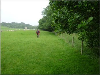
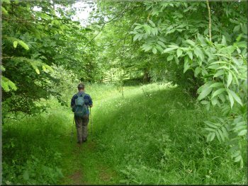
Here we joined a bridleway still generally following the river but now
some distance to the east of it. After about 450m along the bridleway at map ref. NY777078 we turned sharp right off the bridleway to follow a
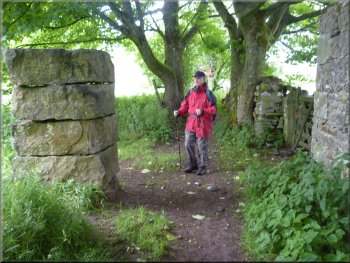
public footpath down towards a footbridge over the River Eden. Along this path we came to some massive square stone blocks bedded on top
of one another to for a short column. On the face of the column pointing away from us there were two poems inscribed.
Bridleway to the east of the River Eden
Sharp right turn off the bridleway towards the River Eden
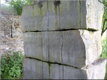
The 'February' stone on the 'Poetry Path'
|
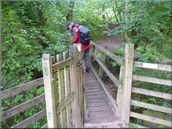
The River Eden at the footbridge
|
Path heading for the footbridge over the River Eden
Over the footbridge the path turned left
Path along the riverside from the footbridge
We past a cheerful farmer checking his sheep and lambs and we soon
came to a very rocky reach of the river. |
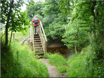
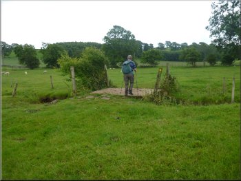
We continued along the path to the footbridge and crossed the River Eden. Across the bridge the path
turned left and we followed it along the river bank heading upstream.
Footbridge over the River Eden
Path along the riverside from the footbridge
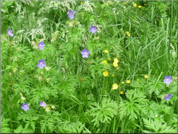
Blue cranesbill or wild geranium by the path
|
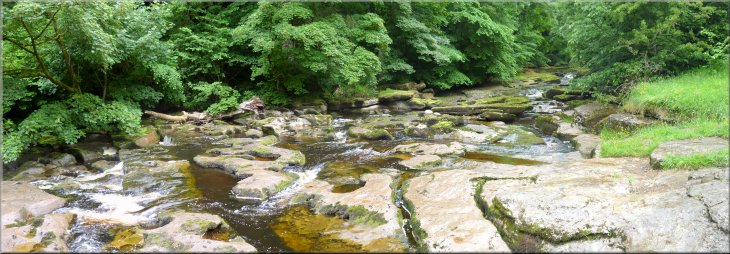
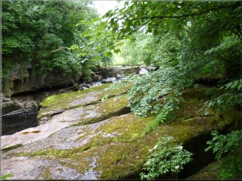
The rocky course of the River Eden
|
The rocky course of the River Eden
Road bridge carrying the B6259 across the River Eden
Path back down to the riverside from the road bridge
The river is flowing through the rocks and tumbling
down through the rocky chambers eroded when the river is in flood. We followed the path over the footbridge and up to the road bridge.
We crossed the bridge and then turned left off the road to follow the path down to the riverside again. (There doesn't seem to be any way
through under the road) |
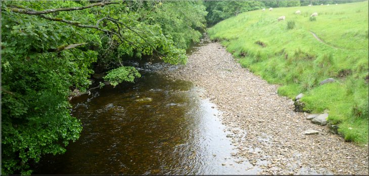
There were some lovely views along the river as it squeezed between the rocks. After about 700m
from the footbridge over the river we came to the road bridge carrying the B6259 across the river. There's a footbridge next to the road bridge
and below it and from the footbridge there's a striking view through the arch of the bridge.
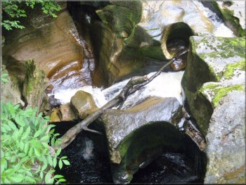
The rocky course of the River Eden below the road bridge
Path on to the road bridge from the riverside
Path along the riverside from the road bridge
|
|
|
|
|
Minor road at map ref. NY769070, next to Hallpenny House, where we turned right to head for the main road (A685)
|
Rocky river bed upstream of the road bridge

Path across the fields to Hallpenny House

Path across the fields to Hallpenny House
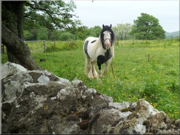
A tethered pony by the road
We turned left and walked along the grass
verge of the busy main road for about 150m to a track on the right. |
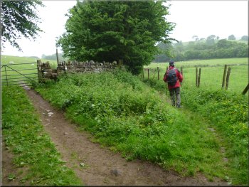
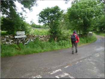
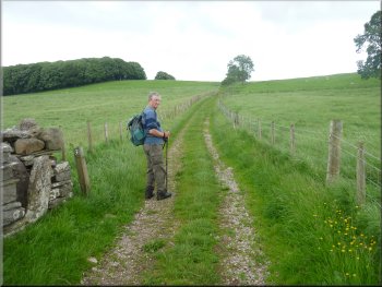
We continued across the fields to a minor road at map ref. NY769070, next to Hallpenny House. Here we turned right and walked along the
road, past the entrance to a small park and out to the main road (A685) at map ref. NY769074.

Path across the fields to Hallpenny House
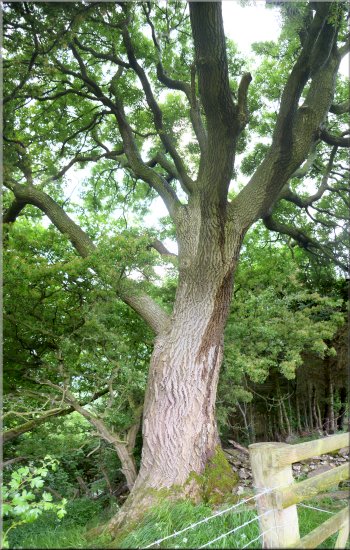
A large ash tree by the path
Following the road from Hallpenny House
|
Our turning to the right off the main road (A685)
|
The track from the A685
Path crossing the railway bridge
There we saw lots of old rolling stock parked on the sidings waiting for restoration or scrapping. From the railway bridge we
followed the path across the fields to a farm access road about 400m away at map ref. NY768078. |
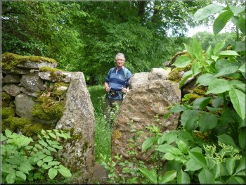
We followed a public footpath along the track for about 150m to an
elaborate staircase stile over the wall on our right. We crossed the stile and walked along the edge of the field to the railway. where we crossed the
railway bridge.
Elaborate staircase stile over the wall
Access road to Greenriggs farm
|
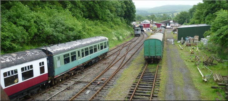
Looking east to the old Kirkby Stephen station where rolling stock is parked on a short stretch of remaining track
|
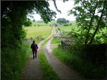
Access road to Greenriggs farm
Leaving Greenriggs farm to cross the disused railway
Path across the fields towards Waitby
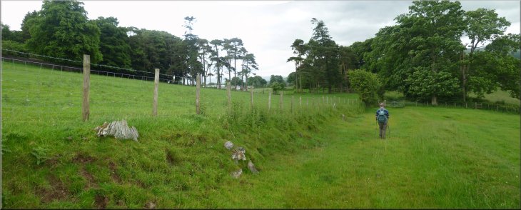
Here we were next to the Settle to Carlisle railway at map ref.
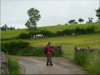
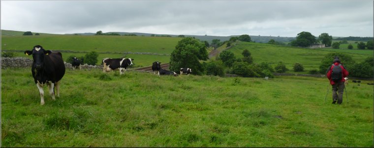
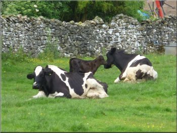
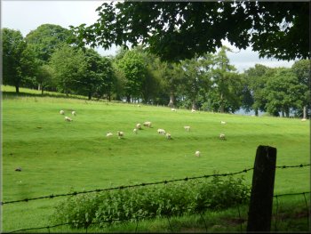
NY754074. From there the path turned right to take us across a large field full of dairy cattle with a limousin bull, to the road near the village of
Waitby at map ref. NY750078. |
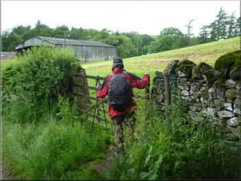
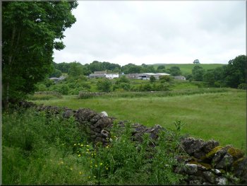
At the farm road we turned left to walk
along the road towards Greenriggs farm. Just before we reached the farm we took a permissive path on our right over a stile to the far corner
of the field by-passing the farm yard. The path led us round the farm and on to a path across the disused railway beyond the farm. We followed
the path across the fields where cattle and sheep were grazing for about 1km.
Turning on to the path to bypass Greenriggs farm
Path crossing the disused railway
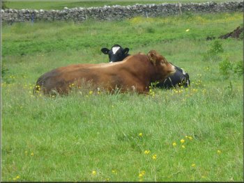
limousin bull with a herd of dairy cattle
|
Path across the fields towards Waitby
|
Minor road bypassing Waitby village
Looking back to Waitby village across the fields
To the left of the bridge are several embankments and then another cutting. The whole of this part of the line is the Waitby Greenriggs Nature Reserve managed by the Cumbria Wildlife Trust. |
At the road we turned right and followed the road past Waitby for about 800m to a bridge over the disused railway line. The railway line is in a deep cutting to the right of the bridge.
A young calf by he road at Waitby
Water aven on the roadside
|
|
|
|
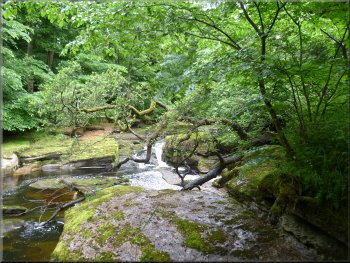
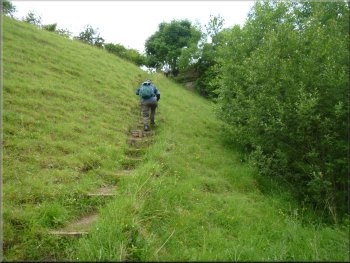
Steps down the cutting into the Waitby Greenriggs nature reserve
|
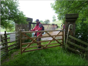
Stile into the nature reserve from the railway bridge
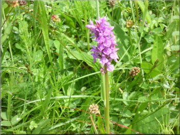
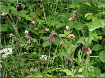
Another lovely orchid
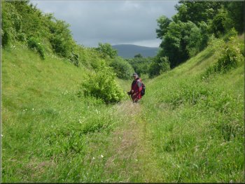
Just enjoying the plants and insects in the nature reserve
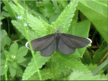
"Chimney Sweeper" - a day flying moth
By now the weather had improved from the morning drizzle to a warm sunny day. We spent a lovely half an hour wandering slowly along the railway and back. We returned up the steps to the road bridge and turned right to continue our walk along the road. |
At the bridge we turned right off the road through a stile in the stone wall and then down some steps cut into the embankment of the cutting. Straight away there were common spotted orchids and a few northern marsh orchids. A beautiful common blue butterfly teased us but would not settle close enough for a photo.
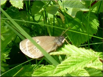
The under-wing dots show this is a ringlet butterfly
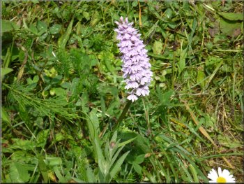
One of many common spotted orchids
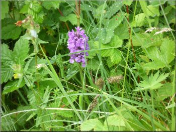
Another lovely orchid
Returning to the road from the nature reserve
|
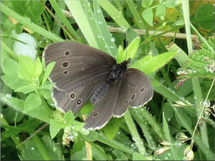
A Ringlet butterfly - note the pattern of spots on the wings
|
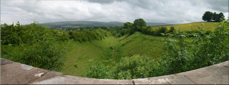
Waitby Greenriggs nature reserve seen from the old railway bridge
|
Leaving the nature reserve
Old stone squeeze stile
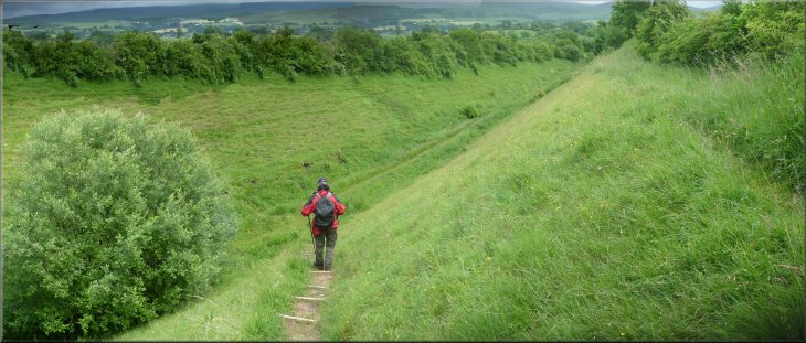
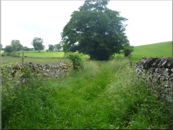
Path across the fields back towards Kirkby Stephen
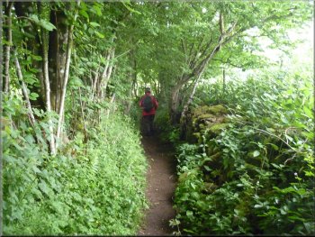
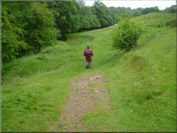
We had turned on to a footpath that dropped down through some trees to the edge of the fields. We followed the path across the fields for about a kilometer to a grassy lane around the edge of the Kirkby Stephen Grammar School. |
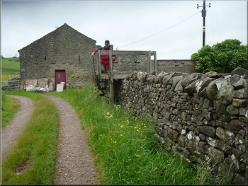
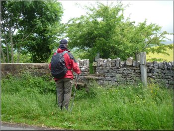
After about 250m the road turned sharp right and then after another 50m it turned sharp left. We turned right off the road on the crown of this second bend just past a stone barn.
Our right turn off the road just past a stone barn
Path from the road down to the fields
Path across the fields back towards Kirkby Stephen
|
|
|
|
|
|
|
|
Path across the fields approaching Kirkby Stephen Grammar School
|
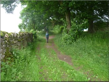
Track back into Kirkby Stephen
Sheep pasture by the track

Joining the road in Kirkby Stephen
The whole route had been 10km and it had taken us four and a half hours to walk including our visit to the nature reserve. |
We followed this lane out to the road at map ref. NY771089. At the road we turned right and walked down the road past the school to the car park entrance and the end of our walk.
Track back into Kirkby Stephen

Track back into Kirkby Stephen
Heading back to the car park in Kirkby Stephen
|
Back at the car park in Kirkby Stephen and the end of our walk
|