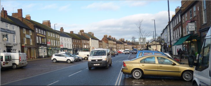
Market Place' in Bedale at the start of our walk |
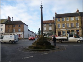
Fourteenth-century octagonal market cross
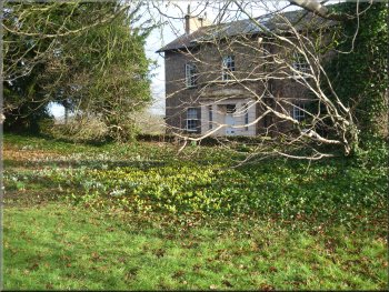
Aconites and snowdrops near Bedale church
It's a 'Pay & Display' car park but it only costs 50p for all day!
From the car park we walked up Bridge Street to a busy crossroads where
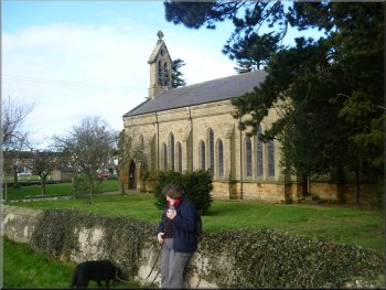
we turned right to walk long the Market Place to St
Gregory's parish church at the Northern end of the Market Place.
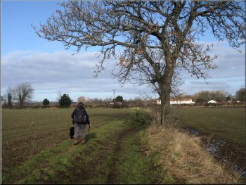
We continued past the church along the main road (A684) heading towards
Leyburn. |
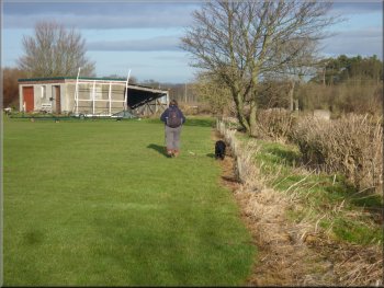
Last night my wife and I stayed at our daughter's home near Bedale
to look after the grand children. This morning it was a bright sunny
winter's day and we took the grand children's dog, a very bouncy young
black labrador, with us on a walk starting from the long stay car park
off Bridge Street in Bedale by Bedale Beck at map ref. SE267882.
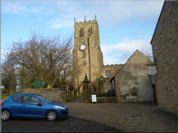
St Gregory's Church Bedale
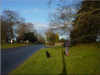
Heading out of Bedale along the A684
|
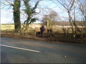
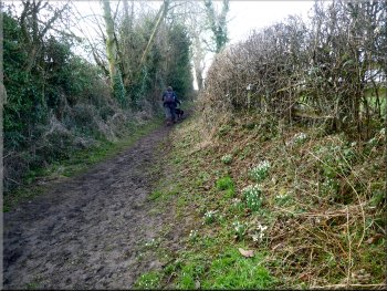
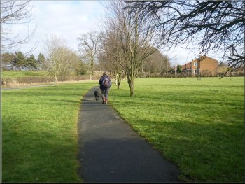
Turning off the A684 to the path across the sports fields
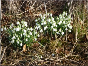
Snowdrops by the path
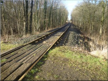
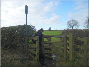
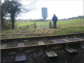
Crossing the Wensleydale Railway
This line was closed but has reopened mainly as a tourist attraction
with a very pretty ride up Wensleydale to Redmire. Our route does not
cross the line here but turns left to follow a path along the edge of
the field for about 350m. to the next level crossing at map ref. SE255892. |
About 400m. beyond the church we turned right off the road onto a
public footpath along the edge of some sports pitches to a pedestrian
gate into arable fields. There was a clear path straight ahead across
a large field heading straight to a level crossing over the Wensleydale
Railway.
Path across the sports fields
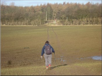
Path heading for the Wensleydale Railway
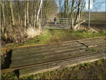
Crossing the Wensleydale Railway
|
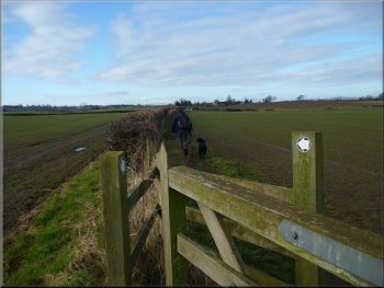
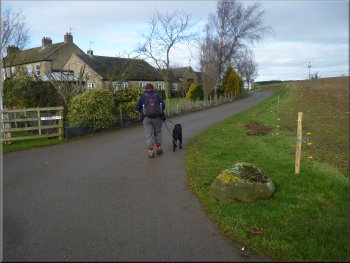
Path from the railway heading for Kirkbridge
Approaching Kirkbridge across the fields
Path to Crakehall from Kirkbridge
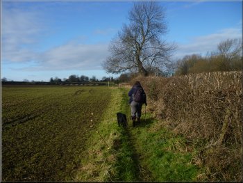
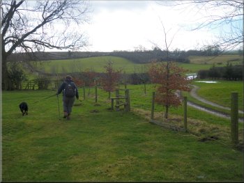
About 100m before we reached the road at Kirkbridge we turned left
around the edge of a field to join a path across the fields through
a series of pedestrian gates for just over 1km. to the village of Crakehall.
|
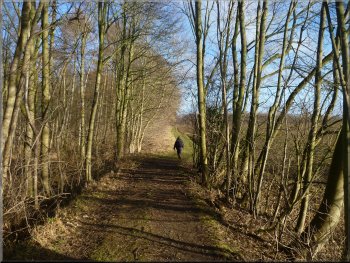
We turned right and crossed the railway here to follow a track northwards
along the side of some woodland. The track continued beyond the woodland
between the fields heading for the hamlet of Kirkbridge.

Path from the railway heading for Kirkbridge
Path to Crakehall from Kirkbridge
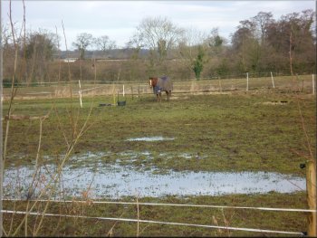
Typical sodden field with a horse in its winter jacket
|
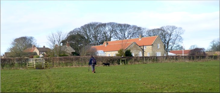
Entering Crakehall on the path from Kirkbridge |
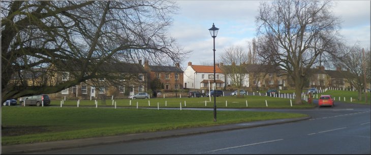
The village green in Crakehall
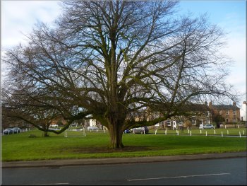
The village green in Crakehall
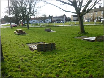
Quoits court on the green in Crakehall
We walked through the village to the road bridge over Bedale Beck.
There is a footbridge beside the road bridge and a weir up stream of
the footbridge. |
The path enters the village between the houses to the large village
green and St Gregory's Church on the green. We walked past the church
and followed the main road (A684).
St Gregory's Church in Crakehall
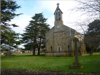
St Gregory's Church in Crakehall
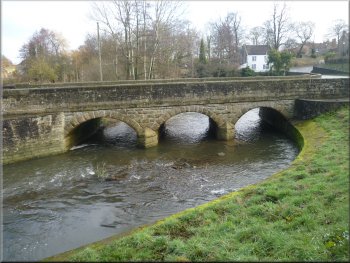
Road bridge over Bedale Beck in Crakehall
|
The village of Crakehall
|
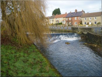
Weir on Bedale Beck in Crakehall
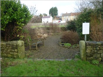
The Pinfold in Crakehall
Track leading up from the pinfold
Path to West Pasture Farm
It can be confusing here because the private drive can easily be mistaken
for the track between the hedges. About 100m along the track we turned
right off the track to follow a public footpath across the fields. We
crossed several fields and after about 400m we came to a minor road.
At the road we continued straight on for another 300m to West Pasture
farm. |
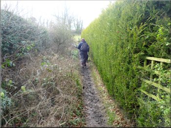
We turned left off the road just before the road bridge. About 20m
from the road there is a tarmac drive on the left to a private house
and just beyond this drive there is a track between two hedges going
slightly uphill away from the road at map ref. SE241900.

Path to West Pasture Farm
Our right turn at West Pasture farm
|
Our left turn just past West Pasture farm
Path to Newton-le-Willows
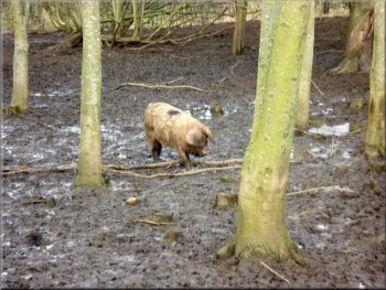
Pig by the path at Newton-le-Willows
After about 700m we passed Grange Farm to the South of our path and
after another 400m. we passed Fox Park Farm again to the South of our
path. Another 600m further on we entered the village of Newton-le-Willows
past some woodland enclosures housing outdoor pigs. |
Here we turned right to follow a tarmac drive and then a path around
the farm. Just beyond the farm we turned right off the path to follow
another path heading generally Westwards across the fields.
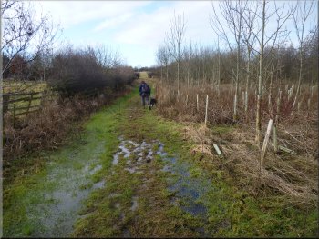
A very soggy part of the path
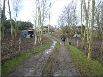
Track entering Newton-le-Willows
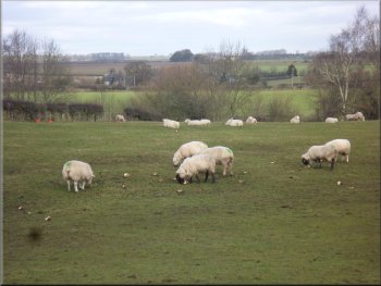
Sheep feeding on mangles by the path
|
The crossroads in Newton-le-Willows |
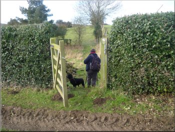
Our turning off the road in Newton-le-Willows
Crossing the Wensleydale Railway in Newton-le-Willows
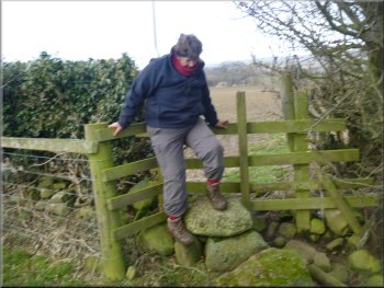
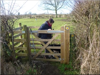
Another awkward stile
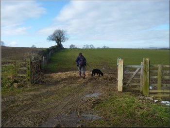
About to join the Lindale Lodge access road
This path from the level crossing proved to be rather awkward. Unlike
other paths on this walk the field boundary crossings were all stiles
with not dog gates and the stiles were all closely wired into the fence.
We had no option but to lift the large wet labrador over each stile,
what a performance! At Lindale Lodge farm we followed the long straight
farm access road for about 350m. out to the public road. |
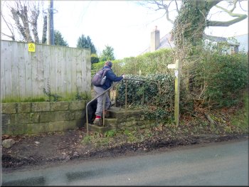
At the crossroads in the village, map ref. SE215896 we turned left
and followed the road through the village for about 200m. Here we turned
right off the road on to a public footpath between two hedges. We followed
this path around the back of some houses to a lane with a level crossing
over the Wensleydale Railway on the left of the lane at map ref. SE214894.
Once over the level crossing we followed a path across the fields for
about 800m to join the farm access road at Lindale Lodge farm at map
ref. SE215885.
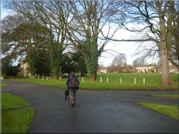
Path from the road in Newton-le-Willows
The path is diverted here round a cricket field
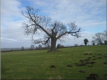
An oak tree by the path
Walking along the Lindale Lodge access road
|
Turning left from Lindale Lodge onto the road
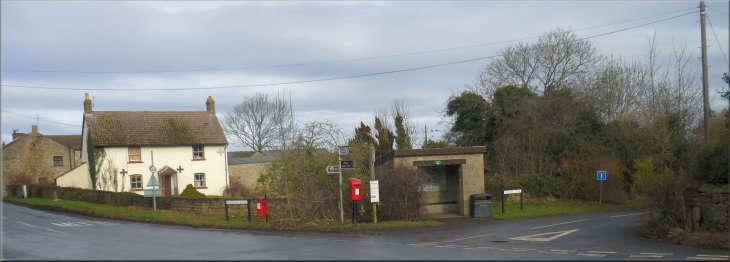
After about 600m. we reached High Pond House. Here we turned left
off the road on to a track down the side of the buildings. |
We turned left to walk along the road to a junction about 150m away
at map ref. SE217883. At the junction we turned right and walked along
the road.
Turning right at the junction for High Pond House
|
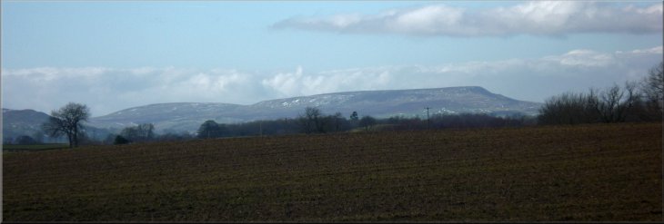
The distinctive shape of Pen Hill in Wensleydale seen from the road
near High Pond House
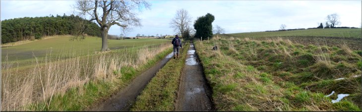
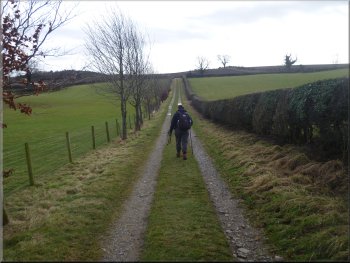
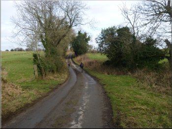
High Lane (from High Pond House to Cowling)
|
The start of High Lane at High Pond House
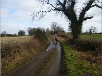
High Lane (from High Pond House to Cowling)
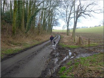
High Lane nearing Cowling
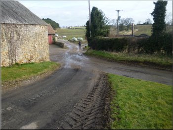
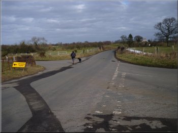
The track led us to the hamlet of Cowling and the road at map ref.
SE236875. We followed the road around a bend and into the village of
Burrill. |
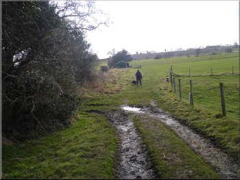
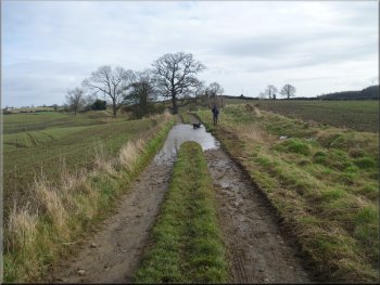
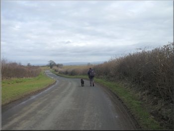
The whole route had been very wet and muddy so far and every dip
in this track was filled with water. We followed the track between the
fields for about 2km.
High Lane leaving High Pond House for Cowling
High Lane (from High Pond House to Cowling)
Road junction in Cowling
|
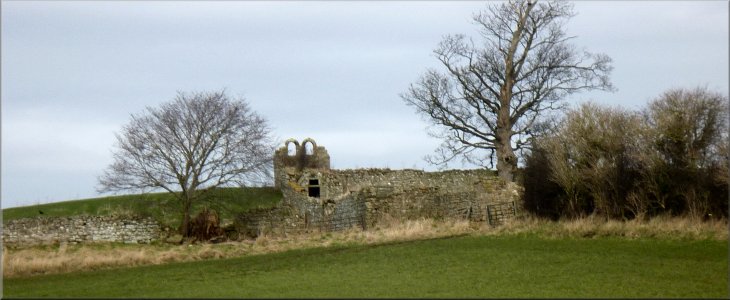
An intriguing ruin seen from the lane near Cowling
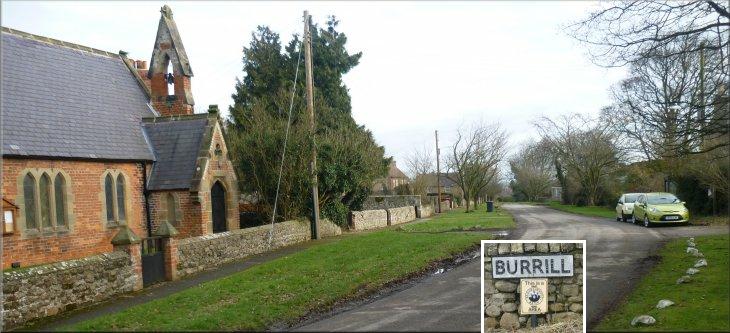
The church & village street at Burrill
|
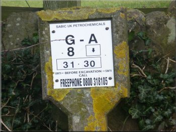
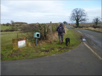
Marker on the route of a petrochemical pipeline carrying
chemicals between Runcorn in Cheshire and Wilton on Teesside
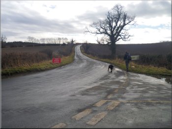
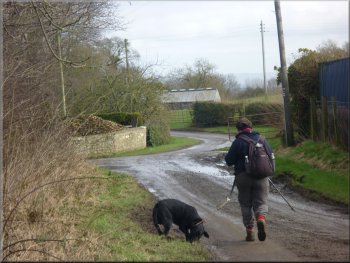
The road into Bedale from Burrill
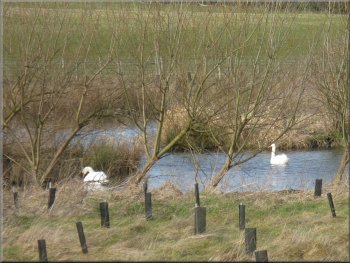
Pond by the Burrill Road
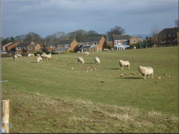
Sheep feeding on mangles on the edge of Bedale
Along the way three roe deer dashed across the road about 30m ahead
of us and disappeared across the fields in moments. We continued along
the road into the town and back to the long stay car park by Bedale
Beck. The whole route had been 15km and it had taken us about 51/2
hours to walk including our stops. |
We walked through this pleasant little village to a road junction
at map ref. SE242871. This was the road from Thornton Watlass to Bedale
and from the junction we walked along the road for about 2km. to the
edge of Bedale.
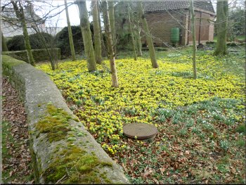
A carpet of aconites in Burrill
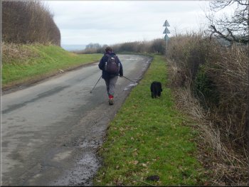
The road into Bedale from Burrill
The road into Bedale from Burrill
Roadside footpath entering Bedale
|
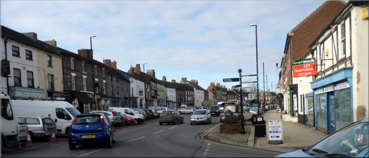
'Market Place' in Bedale at the end of our walk |
