| 2001 walks | 2002
walks | 2003 walks | 2004
walks |
| 2005 walks | 2006
walks | 2007 walks | 2008
walks |
| 2009 walks | 2010
walks | 2011 walks | 2012 walks |
| 2013 walks | 2014 walks | 2015 walks | 2016 walks |
| 2017 walks | 2018 walks | 2019 walks |2020 walks |
| 2021 walks | 1993-2000 library | Find a Route Index |
| A few Routes to print out | Request a Route... |
Route No. 497 - Saturday 26 January 2013
Market Square, Knot Lane, Crankley Lane,
Alne Road, Millfields, Uppleby circuit - 8km
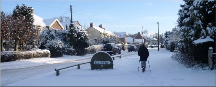
Easingwold . . .
Route map from Ordnance Survey
Open Space service.
Map: OS Explorer 299 Ripon & Boroughbridge at 1:25000
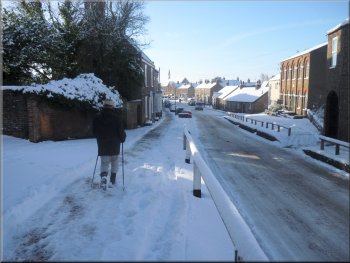
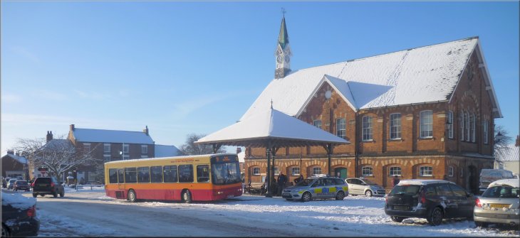
The 'Galtres Centre' in Easingwold Market Square |
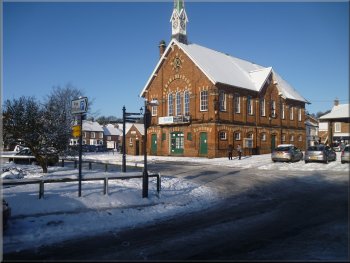
The old town hall, now a print works,in the Market Square
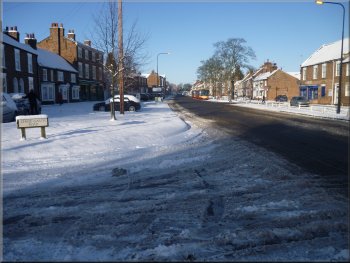
Looking north along Long Street
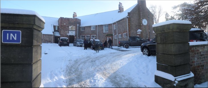
We set off from the front of the Galtres Centre at map ref. SE529697.
The Galtres
Centre is a local community centre with bars, meeting rooms, gym,
badminton, tennis, and a rifle club. From the market square we walked
along Chapel Street to the main road through the town called Long Street. |
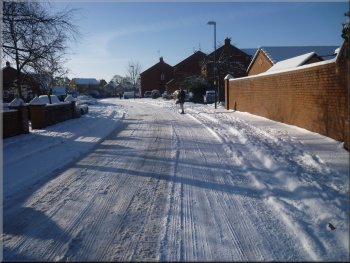
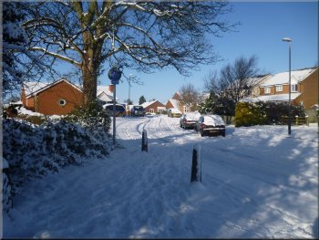
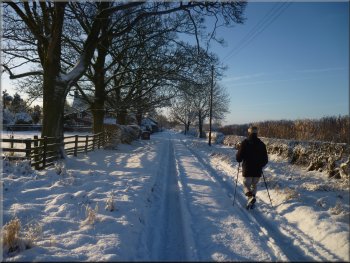
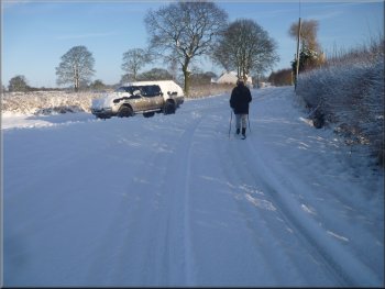
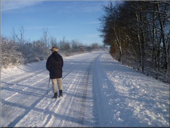
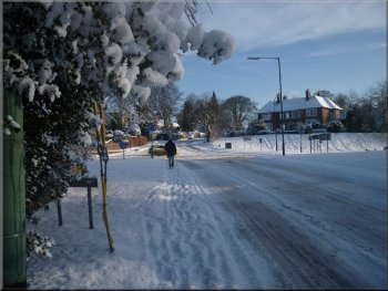
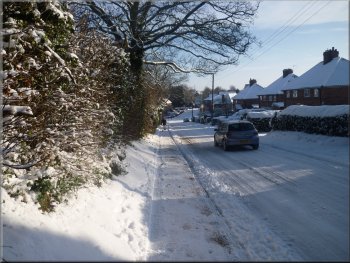
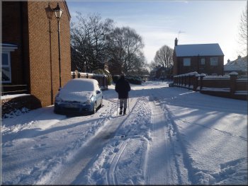
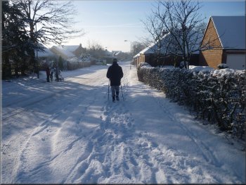
We have had about 15cm of snow overnight and the roads are quite
treacherous. My friend, Jim, lives in the same street as me in Easingwold
and we decided to do a short local walk this morning with out the need
to drive anywhere first. The route starts in the market square in Easingwold.
Pedestrian crossing over Long Street
Road through the housing estate
|
Road through the housing estate
Footpath & cycleway along Stonefield Lane
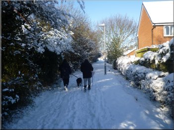
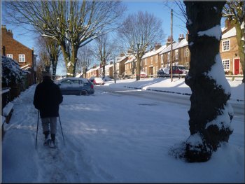
That took us to Stonefield Avenue where we turned left and walk along
this housing estate road to its junction with Knot Lane. Here we turned
left and walked along Knot Lane. |
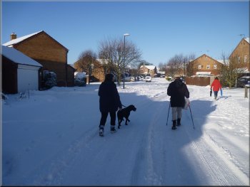
We crossed into a modern housing estate and followed the roads through
the estate to an old by-way called Stonefield Lane that is used as a
footpath & cycle route between the fields and the housing estate.
Footpath & cycleway along Stonefield Lane
Looking up Stonefield Avenue towards Knot Lane
|
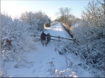
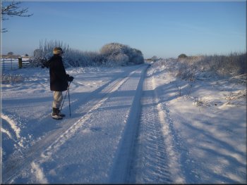
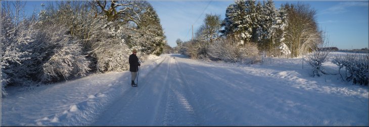
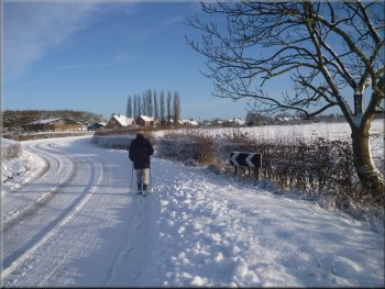
Knot Lane leaving the town behind |
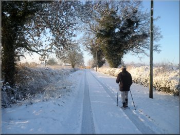
Following Knot Lane between the fields
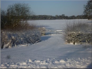
Where route crosses Easingwold by-pass
There's a pedestrian gate here where we crossed the by-pass, easier
today with fewer cars and all travelling much more slowly than usual. |
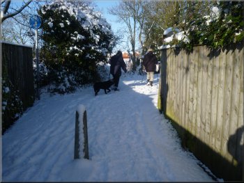
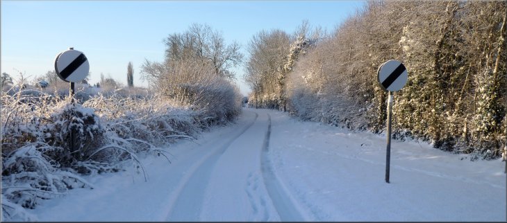
We immediately left the town behind and walked along the snowy lane
between the fields for a little over a kilometer to the Easingwold by-pass
(A19).
Following Knot Lane to Easingwold by-pass
Continuation of Knot Lane beyond the by-pass
|
About to cross Easingwold by-pass from Knot Lane |
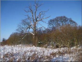
Snow covered bushes lined Knot Lane
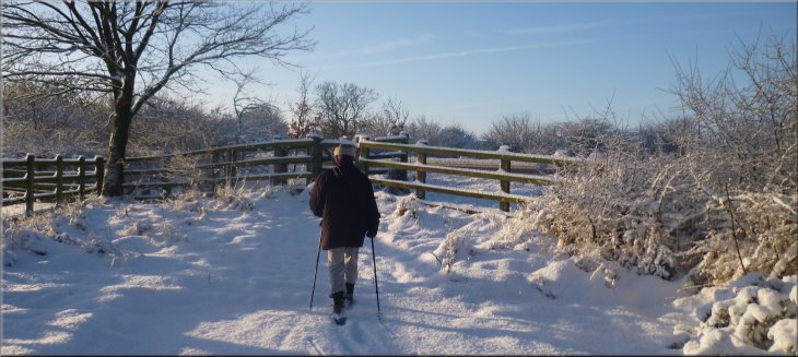
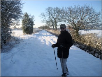
Crankley Lane
After another 150m the lane turned to the right and another lane joined
it from the left. At this junction there is a block of well kept allotment
gardens on the left. |
On the other side of the by-pass we walked along the continuation
of Knot Lane. for about 200m to its junction with Crankley Lane. Here
we turned right and followed Crankley Lane.
Looking along Knot Lane towards Crankley Lane
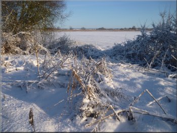
Fields beside Crankley Lane
|
Walking along Crankley Lane towards Alne Road |
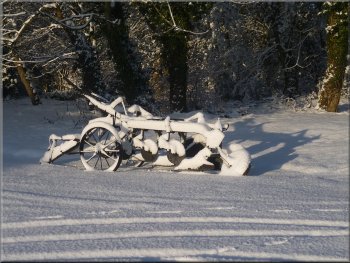
Horse-draw disc harrow by the road side
Fields off Alne Road
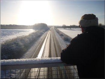
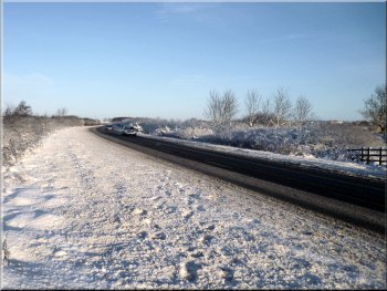
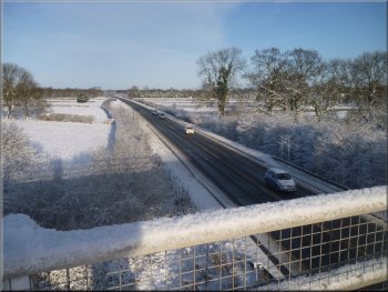
The bridge over the Easingwold by-pass
After about 400m the road climbed up to the bridge over the Easingwold
by-pass. There was not much traffic and what there was moved quite slowly
in the snowy conditions. |
We continued along Crankley Lane for about 700m past a plantation
of Christmas trees on the right to the junction with the road to Alne
at map ref. SE512689. Here we turned right and walked along the road
back towards Easingwold.
The junction of Crankley Lane and Alne Road
Alne Road climbing up to cross the by-pass
The bridge over the Easingwold by-pass
|
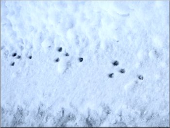
A few of the many rabbit tracks we saw in the snow
Alne Road heading into Easingwold
After about 600m we came to the junction with Raskelf Road at the edge
of Easingwold. We followed Raskelf Road into the town to the junction
with Long Street at map ref. SE524699. |
We continued along the road with very pleasant views across the snowy
fields scattered with trees whose branches and twigs were picked out
with a layer of snow.
Alne Road heading for Easingwold
About to cross Long Street heading for the church
|
Entering Easingwold along Raskelf Road |
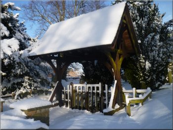
The lytch gate at the church
Heading for Millfield Lane from the church
From the church we walked down the slope to the junction with Millfield
Lane. |
We crossed Long Street and followed the road past the police depot
on the right up to the Easingwold parish church of St
John & All Saints on the left.
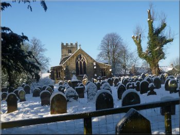
Easingwold parish church
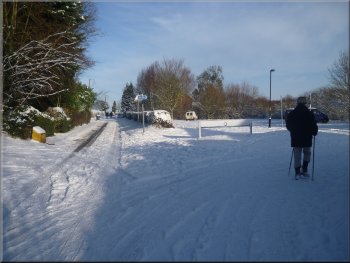
Entering the park from Millfield Lane
|

The parish church of St.
John & All Saints in Easingwold
Start of the path & cycleway through Millfield Park
|
An ash tree on the edge of Millfield Wood
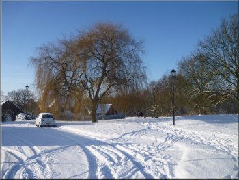
Looking back to a willow tree in Millfield Park
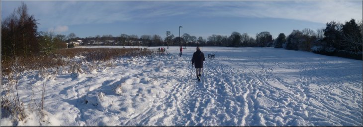
This long distance cycle route goes from Hull to Middlesbrough via
York and is known as 'The White Rose Route'. On the left as we walked
through the park is the Woodland
Trust's 'Millfield Wood'. This wood was planted around a few existing
mature trees about 15 years ago and already is an attractive piece of
woodland to stroll through. The path through the park led us to another
modern housing development on the land that was formerly the grounds
of Claypenny Hospital. |
Here we turned left to walk a few metres along the lane before turning
right off the lane to follow a tarmac footpath and cycleway across Millfield
Park. There is a wetland nature reserve on the left near the entrance
to the park, but there is no public access into this area. There are
playing fields and a skateboard park on the right and the cycle route
through the park is part of the 'Sustrans' Route 65.
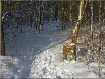
One of the entrances to Millfield Wood
Road through the Claypenny housing estate
|
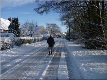
Walking down Oulston Road to Uppleby
Spring Street leading back to the Market Square
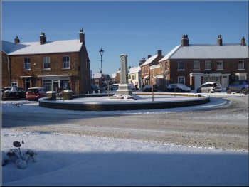
We followed the road round to our left into Spring Street, passing
the war memorial on our right and back into the Market Square in front
of the Galtres Centre with the old Town Hall, it's now a printing works,
opposite at the end of our walk. The whole route was about 8km and it
had taken us about two and a half hours to walk. There are several good
coffee shops in the Market Square for some refreshments at the end of
the route. |
We walked through the estate to a junction with Oulston Road at map
ref. SE534704. Here we turned right and followed the road down the hill
to the junction with Uppleby, a desirable address in Easingwold. We
turned right and walked along Uppleby, a pleasant street with a wide
grass verge and a line of lime trees on both sides of the road.
Uppleby with its avenue of lime trees
The Easingwold War Memorial
|
Easingwold Market Square with its band stand, bus stop and the old Town
Hall building |
