| 2001 walks | 2002
walks | 2003 walks | 2004
walks |
| 2005 walks | 2006
walks | 2007 walks | 2008
walks |
| 2009 walks | 2010
walks | 2011 walks | 2012 walks |
| 2013 walks | 2014 walks | 2015 walks | 2016 walks |
| 2017 walks | 2018 walks | 2019 walks |2020 walks |
| 2021 walks | 1993-2000 library | Find a Route Index |
| A few Routes to print out | Request a Route... |
Route No. 475 - Tuesday 19 June 2012
Brimham Hall, Beck Side Farm, Brimham Rocks, Braisty Woods, Old Spring Wood,
Highfield Farm circuit - 12km
Nidderdale . . .
Route map from Ordnance Survey
Open Space service.
Map: OS Explorer 298 Nidderdale at 1:25000
Another fine walk by Ray Brown - Thanks Ray!
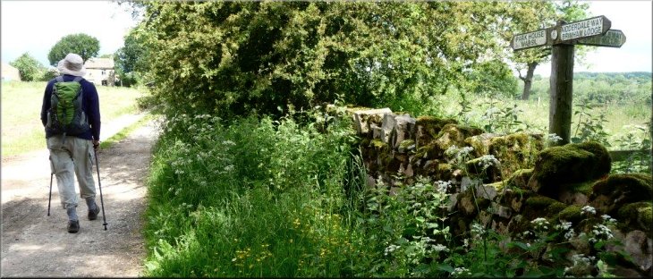
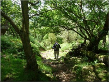
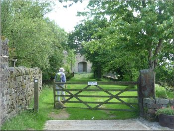
At SE 2284 6361 we turned left off the Nidderdale Way to head for Park
House |
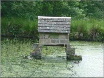
Approaching Beck Side farm by ponds at SE 229641
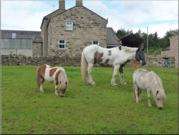
Horses at Beck Side Farm
At SE 2284 6361 we left the Nidderdale Way to carry on North past Park
House farm. At SE 227640 the right-of-way we were following turned right
into grassland, the path soon passing by ponds on its way to some grazing
horses at Beck Side farm. |
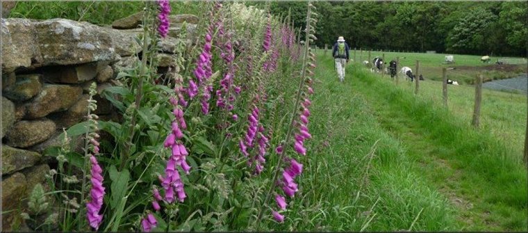
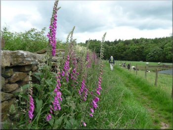
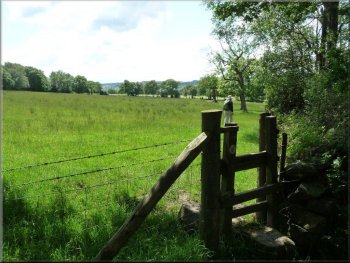
From the lay-by at SE 223630 on the Smelthouses-Burnt Yates road
we set off North, soon to turn right on to a farm track, part of the
Nidderdale way which would lead us through Brimham Lodge farm.
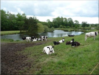
Ponds at SE 229641
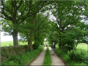
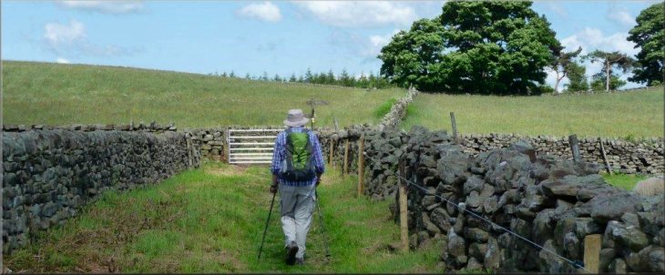
Vehicle tracks running uphill to join the Nidderdale Way
|
Turning off the Riva Hill farm access track to stay on the Nidderdale
Way at SE 220642
When the vehicle tracks turned right towards Riva Hill House, we stayed
on the Nidderdale Way, now a path, over moorland, with tormentil amongst
the buttercups, eventually to cross the public road and enter the National
Trust property of Brimham Rocks (SE 208644). |
Beyond an ornamental waterfall in a pleasant garden we cut up left
to join a metalled track which soon developed into concrete vehicle
tracks running uphill for half a kilometre. Meanwhile, at a right-hand
corner we were joined by the Nidderdale Way coming in from the left.
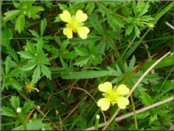
Tormentil
|
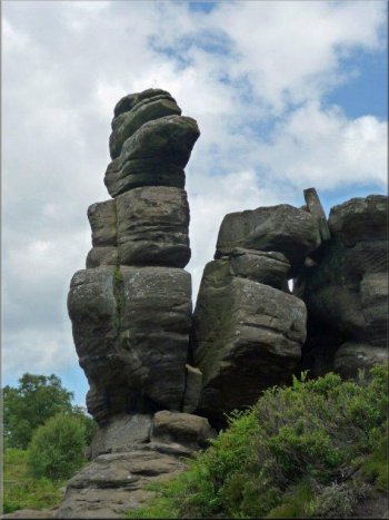
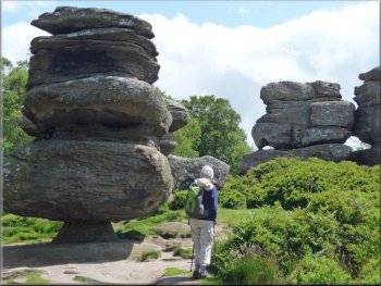
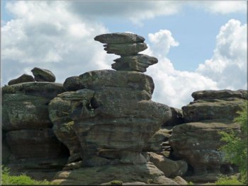
At Brimham Rocks |
At Brimham Rocks - Dancing Bear |
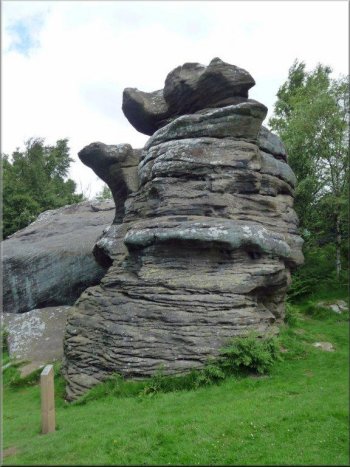
At Brimham Rocks - Baboon Rock
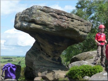
At Brimham Rocks - Druid's Writing Desk
The picnic tables by the shop also provided a lunch venue. Large numbers
of schoolchildren, bedecked with climbing helmets, were scrambling about
the rocks including, I regret to say, the iconic Druid’s Writing Desk. |
Before completing our 10 km walk we added a further 2 km by exploring
the unique scenery afforded by these natural sculptures of Millstone
Grit.
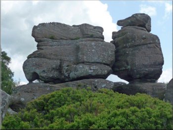
At Brimham Rocks - Idol Rock
At Brimham Rocks - Serpent's Head
|
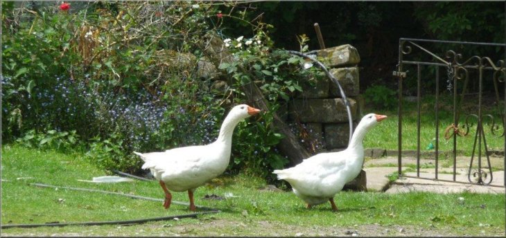
Geese guarding their patch |
Leaving the Geese to reclaim their yard
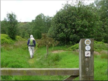
Rough path through woodland heading down to the Nidderdale Way
With hindsight we might have preferred to stay longer with the Nidderdale
Way instead of by-passing a section of it in order to minimise road-walking.
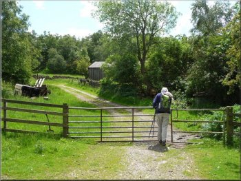
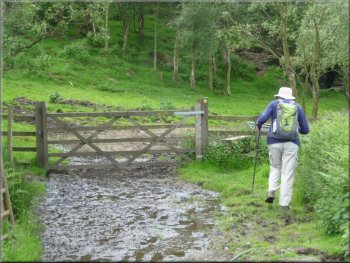
At SE 2042 6427 we arrived at a tied farm gate but were able to climb
over the stone wall on its right. |
Returning to SE 208644, we resumed our route North-West to turn left
(SE 2074 6469) in 140 metres on to a track leading down to a small farm,
with a few geese, where we turned hard left and passed through two farm
gates. Quite soon a rough path and mud over some 300 metres would provide
the only unpleasant terrain of this entire route.
Start of muddy section down into woodland
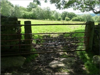
Unwelcoming gate at SE 204643
|
Rejoining the Nidderdale Way |
Goodbye to the Nidderdale Way
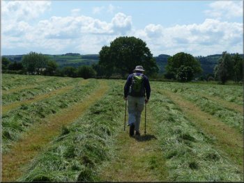
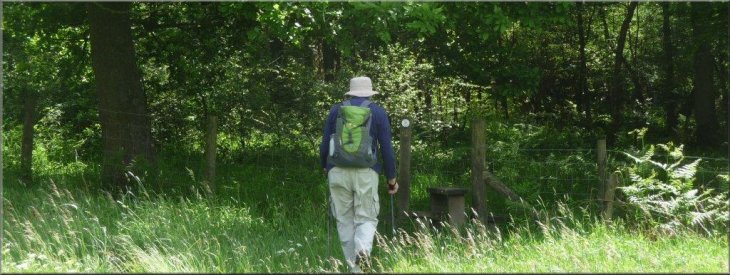
Over newly mown hay
Entering Old Spring Wood
On the left was a millstone bearing the sign “Braisty Woods” and a
signpost directing us on a footpath straight across a newly-mown hayfield
to a gap in a stone wall leading to a second field and then to a track
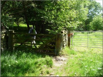
alongside a wood. After passing a house (SE 203632), the track continued
to a pair of farm gates, side-by-side. Taking the left (wooden) gate
we passed through Old Spring Wood to a house with a duck pond (SE 204626). |
We then made over rough pasture towards a waymark and stile, ahead
and slightly to the left (SE 2043 6420), where we turned right to rejoin
the Nidderdale Way. After a further 330 metres at SE 2009 6424 we finally
departed the Nidderdale Way to strike over pasture to a squeeze stile
and from there, over newly mown hay, to a farm gate and the public road.
Squeeze stile from pasture to hayfield
A large house at SE 203632 on the way to Old Spring Wood
Duck pond at SE 204626
|
Crossing of tracks at SE 211624 on the way to Highfield Farm |
Duck pond at SE 204626
On reaching the road we turned left for 240 metres before taking a
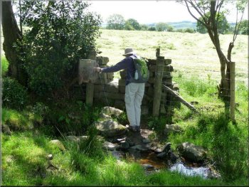
footpath on the right through stubble and then rough pasture downhill
over Hartwith Moor via a user-unfriendly stone stile. A hidden bridge
took us over Lurk Beck to Brimham Hall Farm and back to the car - Ray
Brown
Total ascent/descent = 220 metres. |
Soon the track reached Hartwith Bank above Summerbridge. Turning
left up the road for a short distance we took a path on the right, running
to the right of woodland. After merging with a bridleway, the track
bore left (SE 208623) and continued between stone walls to a crossing
of tracks (SE 211624) where we carried straight ahead on a footpath
towards Highfield Farm with its Caravan Club site.
Approach to Highfield Farm
|
Arriving at Highfield Farm |