| 2001 walks | 2002
walks | 2003 walks | 2004
walks |
| 2005 walks | 2006
walks | 2007 walks | 2008
walks |
| 2009 walks | 2010
walks | 2011 walks | 2012 walks |
| 2013 walks | 2014 walks | 2015 walks | 2016 walks |
| 2017 walks | 2018 walks | 2019 walks |2020 walks |
| 2021 walks | 1993-2000 library | Find a Route Index |
| A few Routes to print out | Request a Route... |
Route No. 465 - Tuesday 17 April 2012
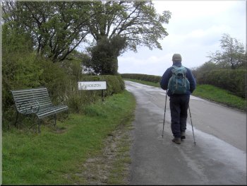
Swainby, Whorlton, Whorl Hill,
Cleveland Way, Scugdale circuit - 8km
North York Moors . . .
Route map from Ordnance Survey
Open Space service.
Map: OS Explorer OL26 North York Moors Western area
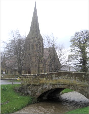
The church next to Scugdale Beck in Swainby
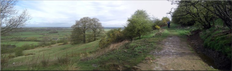
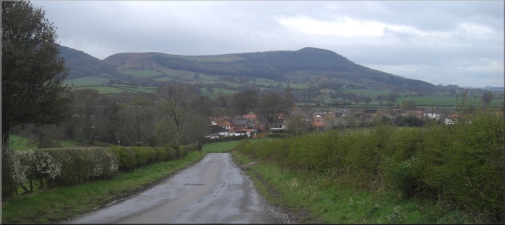
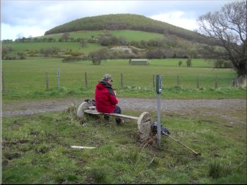
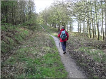
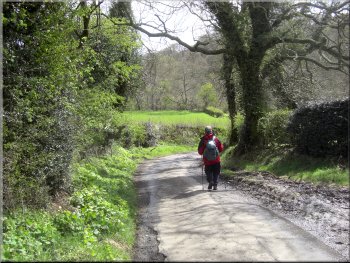
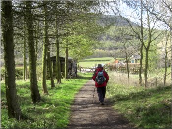
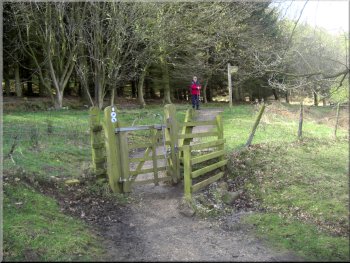
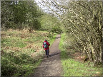
So this morning my neighbour, Jim, and I drove to Swainby on the northern
edge of the North York Moors, less than half an hour's drive from home.
We parked in the village street at map ref. NZ477020 near the village
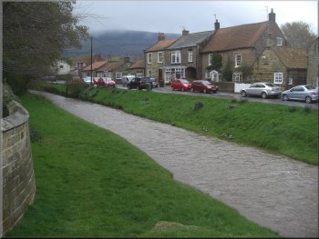
church. We crossed the road bridge over Scugdale Beck that runs through
the village and walked along the road towards Whorlton past the church. |
The weather forecast was for showers and sunny intervals today with
the shower getting heavier and more prolonged this afternoon.
Scugdale Beck in Swainby
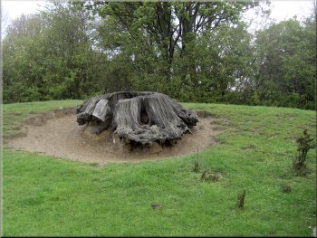
Old tree stump by the lane out of Swainby
|
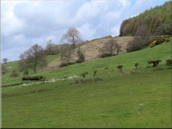
Looking back over Swainby to Scarth Nick and the Cleveland Hills |
Following the lane towards Whorlton
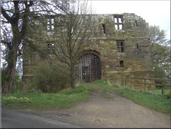
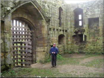
The ruins of Whorlton Castle
The embankment that the ruin stands on is the remains of an eleventh
century motte and bailey fortress built by the de Meynell's and the
stone castle was added in the mid 1300's. |
From the church we followed the road for about 500m to a ruined castle
on the left hand side of the road at map ref. NZ481024.
The ruins of Whorlton Castle
The ruins of Whorlton Castle
|
The road to Whorlton from the castle
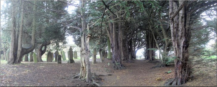
The churchyard with its avenue of yews at the old Swainby church
|
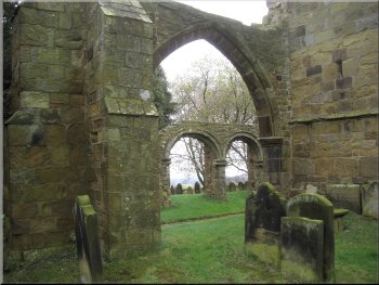
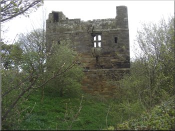
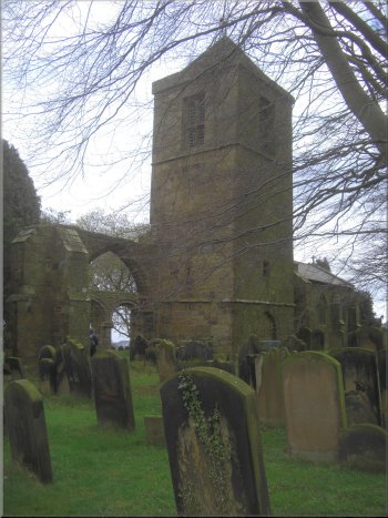
Ruins of the old Swainby church
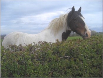
A friendly horse by the roadside
The large church yard has an avenue of yew trees that are several hundred
years old, and burials continue in the churchyard to the present day. |
From the castle we continued along the road for another 200m to the
old Swainby church on the right hand side of the road. The tower and
a few ruined walls are all that remains of the old church.
The tower of the old Swainby church
|
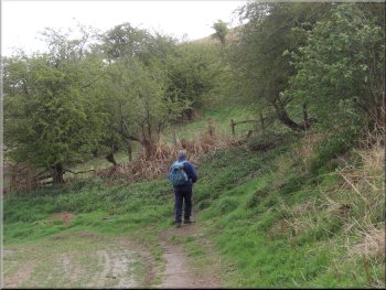
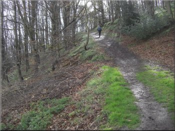
The path to Whorl Hill
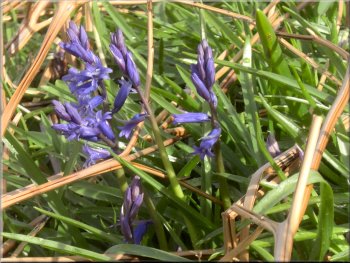
There were a few bluebells by the path
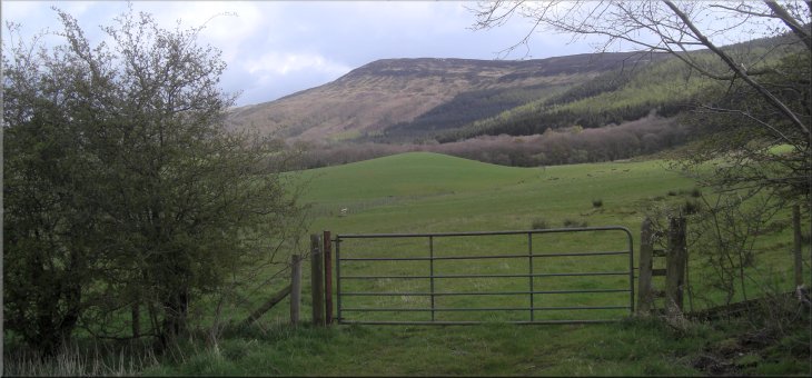
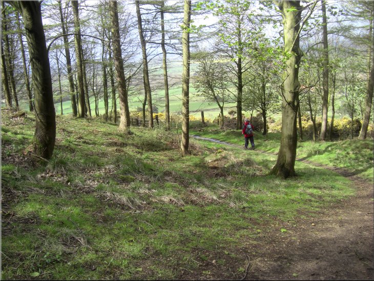
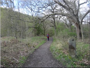
We followed this footpath over the fields climbing slowly up towards
the base of Whorl Hill to Whorl Hill farm at map ref. NZ491029. |
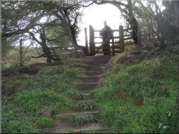
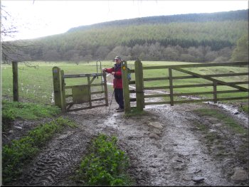
After looking at the ruins we followed the road for another 100m
to a sharp right hand bend in the road. Here we took the public footpath
off the road to the left on the crown of the bend at map ref. NZ484025.
The path to Whorl Hill
The path to Whorl Hill
|
Path from Whorl Farm to go around Whorl Hill
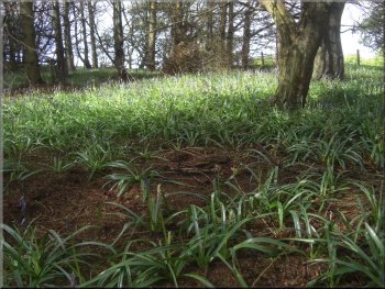
Bluebell foliage but few flowers
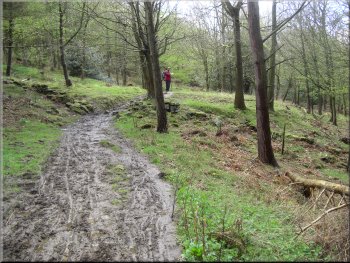
The floor of the wood was covered with bluebell plants but only a sparse
collection of bluebell flowers. We followed the woodland path down to
the road at High Farm, map ref. NZ497025. |
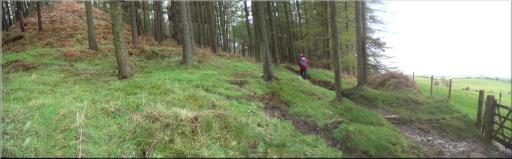
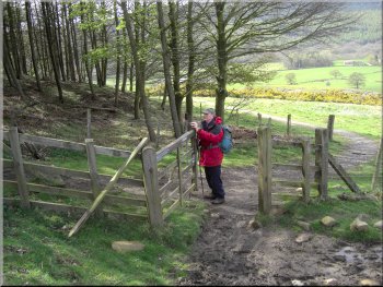
Here we turned right to follow a path climbing up through the woods
around Whorl Hill. The wood was a mixture of conifer plantation and
some broadleaf trees.
The path climbing around Whorl Hill
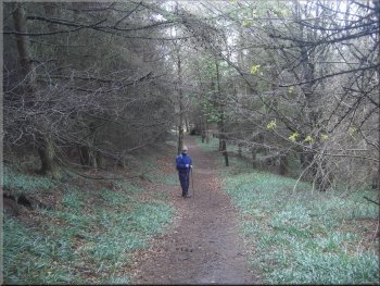
The path around Whorl Hill
|
Path from Whorl Hill down to the road at High Farm |
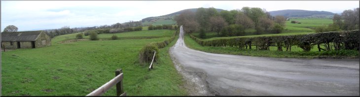
The lane south from High Farm
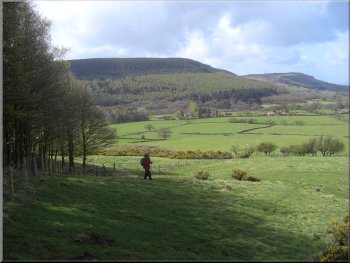
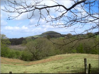
We sat there for a break with a nice view back to Whorl Hill to the
north and to Carlton Bank away to the east. There were some threatening
dark shower clouds moving fast from west to east but we were lucky enough
to avoid them. |
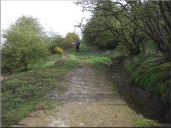
We turned right at the road which soon turned into a track heading
roughly southwards between the fields. We followed it for about 700m
from High Farm to map ref. NZ498018. Here there is a path off to the
right and a seat by the track.
Seat by the track looking back to Whorl Hill
|
Looking east from the seat to Carlton Bank
Entering Faceby Plantation with an old spoil heap to the left
|
Our path through Faceby Plantation
It was in fact a spoil heap of the kind formed by material tipped from
tubs pushed out on rails from a small adit. As we continued through
the woods there were more such spoil heaps around the hill side. We
emerged from the wood down a very pretty path at map ref. NZ494014.
|
After our break we took the path across the fields climbing up to
the edge of Faceby Plantation. As we entered the wood there was a steep
conical hill ahead amongst the trees and as the path climbed higher
in the wood we could see that it had a flat top leading out from the
main hillside.
Our path through Faceby Plantation
|
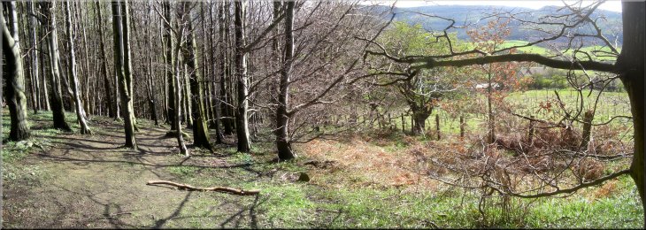
A very pretty path out to the edge of the woods, Faceby Plantation
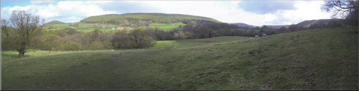
Looking southwest from the edge of Faceby Plantation
|
Looking across Scugdale the edge of Faceby Plantation
Looking back to an old spoil heap below the wood
The lane down to Scugdale Beck
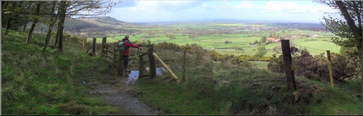
Following the Cleveland way route
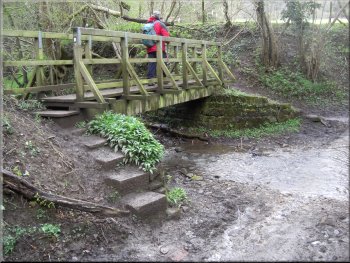
Just beyond the beck we turned right off the road to follow a farm
track down to a ford over a tributary of Scugdale Beck flowing down
from Whorlton Moor. There was a footbridge by the ford which we crossed
and continued across the field above the beck still on the Cleveland
Way route. |
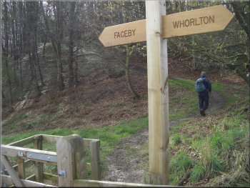
We continued along the path round the edge of the field next to the
wood for about 200m to join the Cleveland Way route. We followed the
Cleveland Way route out to the road junction at map ref. NZ493007. We
crossed junction and continued along the lane opposite round a sharp
bend and down across Scugdale Beck.
Joining the Cleveland Way route
The path out to the road junction
Crossing a tributary of Scugdale Beck
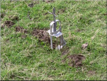
Mole trap set in a mole-run by the path
|
Looking back across Scugdale |
Cleveland Way path through the woods
Looking back across the fields to Whorl Hill
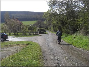
Leaving the Cleveland way along the lane to Swainby
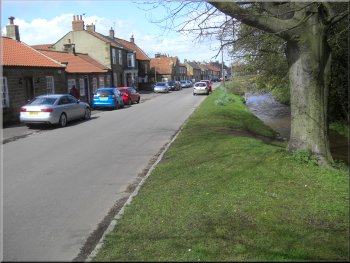
Back in Swainby at the end of our walk
There was a nice little cafe in the Swainby Village Store where we
stopped for a coffee and some toast before driving home. The whole walk
had been only 8km and it had taken us around 3 hours to walk including
our stops. We had avoided all the showers which turned very heavy during
the afternoon. |
At the edge of the field we came to a wood and followed the path
through the wood for about 1km to a farm track at map ref. NZ481008.
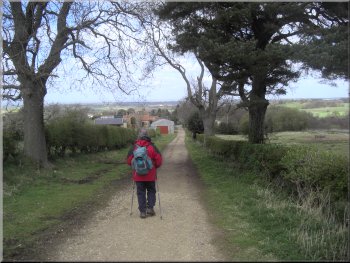
We left the Cleveland Way route and followed the track out to a road
called Coalmire Lane on the map. We walked along the road for about
1km back into Swainby and the end of our route.
Cleveland Way path through the woods
Cleveland Way path through the woods
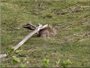
Large fat rabbit in a field by the lane
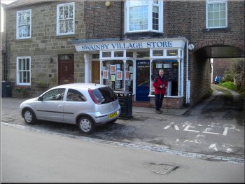
The Swainby Village Store & cafe
|

|
Background Notes:
This walk is an interesting little circuit of 8km, that's just 5 miles, from the village of Swainby on the northern edge of the North York Moors. The story of Swainby village really ties together a whole series of things that we see on today's walk.
Before Swainby was founded there was only the nearby village of Whorlton, and after the Norman conquest Whorlton and its surrounding lands were in the possession of the de Meynell family. They built the first Whorlton Castle, a typical Norman motte & bailey, that's a deep, wide ditch surrounding a high fenced mound. Later, in the late 1300's a stone castle, now in ruins, was built on the site.
A little later, in the early 1400's Whorlton was badly affected by the Black Death plague with only a handfull of households surviving and the whole village was susequently abandoned.
Later still Swainby village began to develop to meet the demand for accommodation for the hundreds of miners working the hills in Scugdale. The miners were extracting both ironstone and jet and a new church of the Holy Cross was built in Swainby to replace the one abandoned in Whorlton.
So with that bit of background let's set off on our walk to see all these things along the way. We leave Swainby past the present day church of the Holy Cross and follow the road out to the ruins of Whorlton Castle just a few hundred metres out of the village. The ditch and mound of the original motte & bailey castle are still in tact and the later stone gate house stands on top of the mound and bridges the ditch to the road. Ownership of the castle and local estates passed through the hands of several prominent families and in settlement of a dispute between them the castle was siezed by the king in the 1500's when the buildings were already neglected.
About 200m further along the road are the ruins of the old church of the Holy Cross at the site of the abandoned Whorlton village. The church stands in a large church yard that is used for burials right up to the present day and there's an avenue of yew trees that is several hundreds years old. These trees are very slow growing and I've seen examples that are several thousand years old.
From the old church we go to Whorl Hill. This is a conical hill just to the northwest of the main escarpment of the Cleveland Hills. It has a wooded top and our route takes us up through the woods and around the hill. The floor of the woodland is covered in bluebell foliage but when we were there last week there were very few actual bluebell flowers.
We head south from Whorl Hill to Faceby plantation and follow a pleasant path through the woods. Here you can see the overgrown spoil heaps of the old ironstone and jet mines. The miners drove small tunnels or adits into the hillside to get access to the minerals and rail tracks were laid in the tunnels to run tubs on that the miners pushed to carry materials out of the mine. The minerals were transported away and the spoil was tipped at the mine entrance. The top of the heap gradually extended out from the mouth of the adit to give the characteristic flat top and steep end shape of these heaps that we can see now-a-days.
From the plantation we join the Cleveland Way to cross the mouth of Scugdale and Scugdale Beck, and we follow the path and then the road back down the valley to Swainby where there's a nice little cafe at the only remaining village store to stop at and round off the walk.
top of page
|