| 2001 walks | 2002
walks | 2003 walks | 2004
walks |
| 2005 walks | 2006
walks | 2007 walks | 2008
walks |
| 2009 walks | 2010
walks | 2011 walks | 2012 walks |
| 2013 walks | 2014 walks | 2015 walks | 2016 walks |
| 2017 walks | 2018 walks | 2019 walks |2020 walks |
| 2021 walks | 1993-2000 library | Find a Route Index |
| A few Routes to print out | Request a Route... |
Route No. 454 - Saturday 4 February 2012
Wetwang, Thorn Dale, Green Lane,
Wetwang Grange circuit - 10km
Yorkshire Wolds . . .
Route map from Ordnance Survey
Open Space service.
Map: OS Explorer 294 Market Weighton & Yorkshire Wolds Central
and OS Explorer 300 Howardian Hills & Malton
Setting off along the main street through Wetwang |
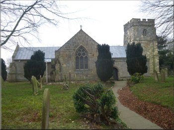
The village church in Wetwang
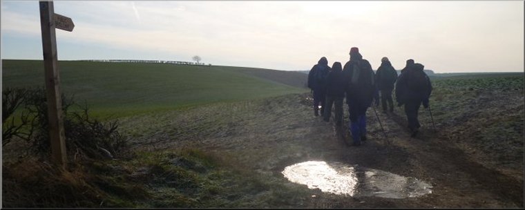
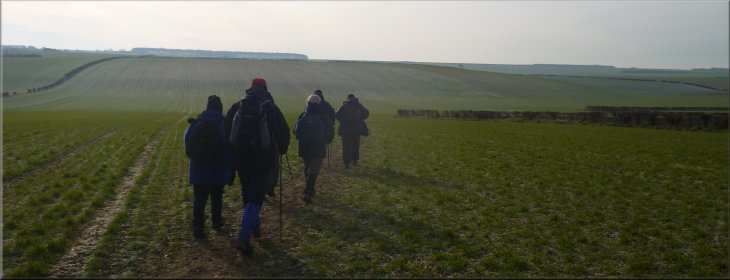
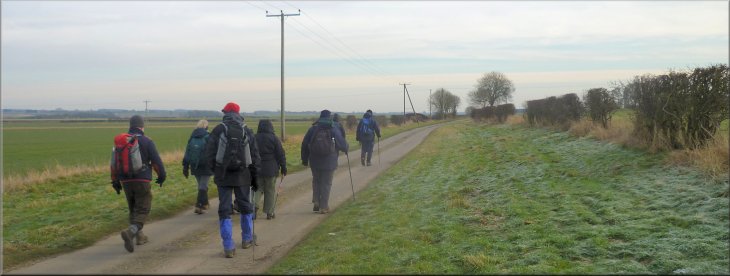
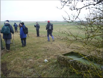
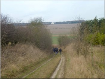
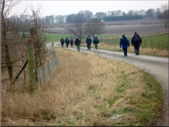
Today the walk was led by Peter, an experienced orienteer, so we are
in safe hands! The route was just 10km today to allow everyone time
to get home before the snow arrives. From the church we walked along
the village street for about 150m and turned left along an alleyway
and crossed the back lane to a path across the fields heading south.
This is the route of the Chalklands Way. |
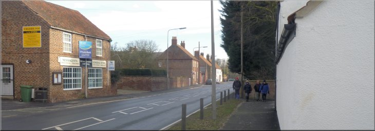
The weather forecast indicated that the temperature wouldn't get
much above freezing today and a substantial snow fall is expected to
start late in the afternoon and continue overnight. This morning we
met our usual group of friends by the church at map ref. SE932590 in
the village of Wetwang on the Yorkshire Wolds for our regular monthly
walk.
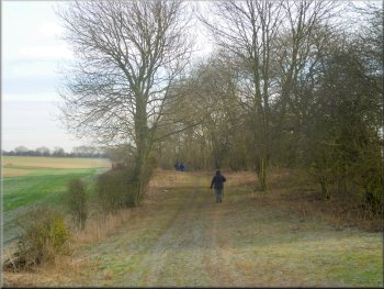
Leaving Wetwang along the Chalklands Way
|
Leaving Wetwang along the Chalklands Way |
Heading for Thorn Dale on the Chalklands Way
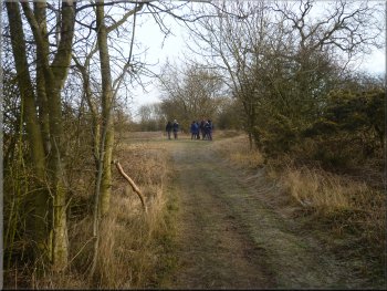
A very pleasant walk along Green Lane
Approaching the B1248 along Green Lane
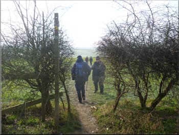
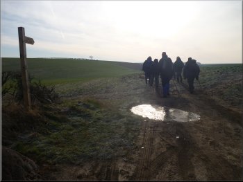
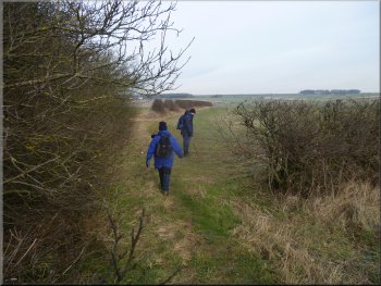
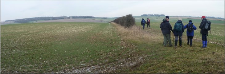
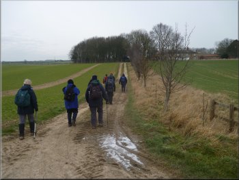
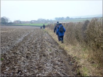
After about 1.2km we came to a track where the Chalklands Way turned
right but we turned left to walk along the track, called Green Lane.
It's a pleasant track between the trees across gently undulating farmland.
We followed the track for a little over 1.5km to a road, the B1248 at
map ref. SE946580. |
The path turned round to the right (east) and came out on to a lane
where we turned left. After about 100m the lane turned sharp right.
At the bend we continued straight on still following the Chalklands
Way route. The path here in in a shallow valley called Thorn Dale.
A very pleasant walk along Green Lane
A very pleasant walk along Green Lane
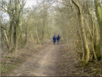
A very pleasant walk along Green Lane
|
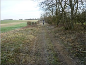
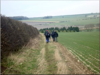
A very pleasant walk along Green Lane between the trees across gently
undulating farmland
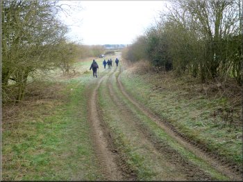
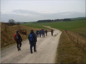
We crossed the B1248 and walked along a lane opposite for about 1km
|
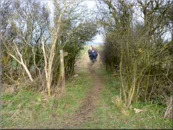
Left turn at a finger post through a gap in the hedge
We crossed the road and took the path opposite
We crossed the road and took the path opposite. At the start of this
path there were a few trees giving some shelter from the wind where
we stopped for a few minutes for our lunch break. |
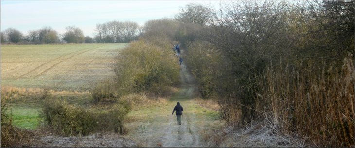
We crossed the road and walked along a lane opposite for about 1km.
Here we turned left at a finger post sign, through a gap in the hedge.
We followed a path along the edge of the fields for about 1.3km to the
main road to Driffield, the A166.
Path over the fields to the main road to Driffield
We stopped for a few minutes for our lunch break
|
After lunch we continued along the track across the fields |
Track leading to Wetwang Grange
Farm road leading to Wetwang Grange
We followed the path around Wetwang Grange and walked along the farm
access road back towards Wetwang. |
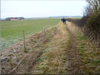
After lunch we continued along this track to a junction at map ref.
SE955598. Here we turned left and walked along the track towards Wetwang
Grange farm.
Track leading to Wetwang Grange
Track leading to Wetwang Grange
|
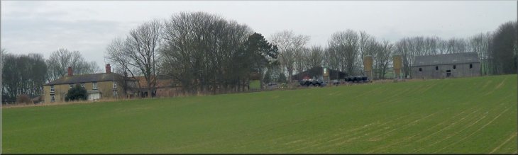
Wetwang Grange farm
|
Path around Wetwang Grange
There was a pretty solid layer of ice all over it. It certainly felt
to be freezing still in the wind. |
As we followed the farm road back towards Wetwang there was a small
pond by the roadside.
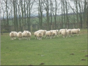
Texel ewes near Station Farm
|
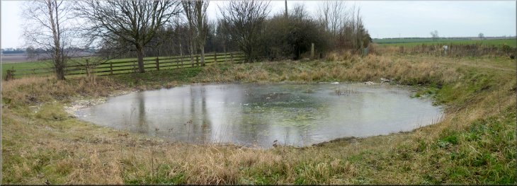
Frozen pond on the road side |
The farm road from Wetwang Grange
The path through a gap in the hedge
This led to a path which we followed along the edge of a ploughed field.
Below us on our right there was a small quarry that seemed to be for
gravel extraction. |
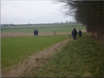
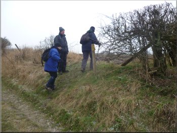
After about 700m along the farm road from Wetwang Grange we turned
left to cross a shallow valley. Part way up the far side of the valley
we turned right on a path through a gap in the hedge.
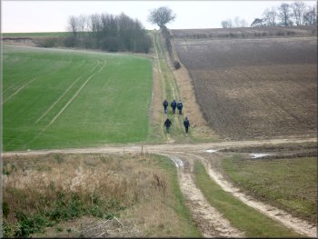
We turned left to cross a shallow valley
The path along the edge of a ploughed field
|
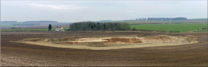
Below us on our right there was a small quarry that seemed to be for
gravel extraction
|
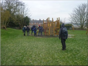
Children's play area on the edge of Wetwang
The time was a little after 2 o'clock leaving us plenty of time to
get home before the snow arrived. |
The path led us to the edge of Wetwang and through a small park and
children's play area. We followed the road back into the village and
our cars parked near the church.
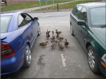
Ducks being fed from a parked car
|
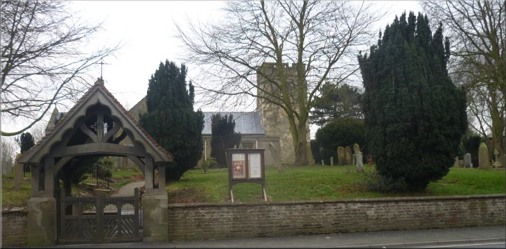
The church in Wetwang at the end of our walk |