| 2001 walks | 2002
walks | 2003 walks | 2004
walks |
| 2005 walks | 2006
walks | 2007 walks | 2008
walks |
| 2009 walks | 2010
walks | 2011 walks | 2012 walks |
| 2013 walks | 2014 walks | 2015 walks | 2016 walks |
| 2017 walks | 2018 walks | 2019 walks |2020 walks |
| 2021 walks | 1993-2000 library | Find a Route Index |
| A few Routes to print out | Request a Route... |
Route No. 423 - Thursday 10 June 2011
Thornton Rust, Gayle Ing, Skellicks Beck,
Folly Lane, Castle Dykes circuit - 12km
Wensleydale, Yorkshire Dales . . .
Route map from Ordnance Survey
Open Space service.
Map: OS Explorer OL30 Yorkshire Dales Northern & Central areas
One of Ray Brown's routes on the moors above Wensleydale
|
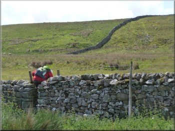
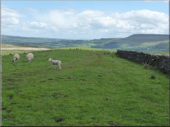
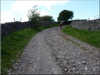
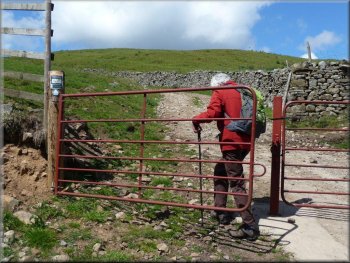
Taking the left stile to Gayle Ing
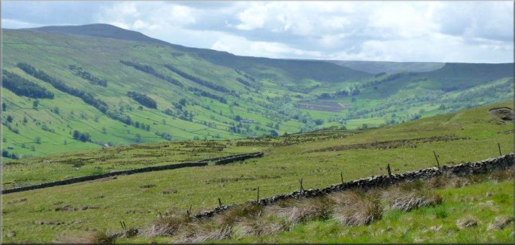
Here, by taking the arm "FP Gayle Ing 11/2 Ml", our circuit
began with a climb, sometimes quite steep and occasionally punctuated
by short drops, that would take about 50 minutes overall. The path,
narrow but fairly clear, ran on the left of a stone wall, initially
through pasture, but at a squeeze stile it entered moorland. To the
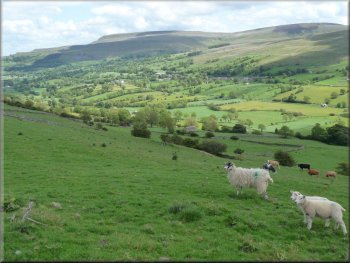
west the flat summit of Addlebrough lay a couple of km away.
|
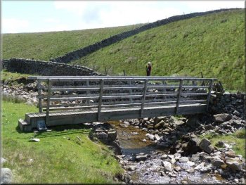
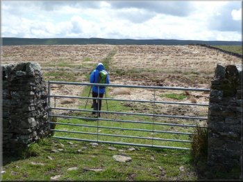
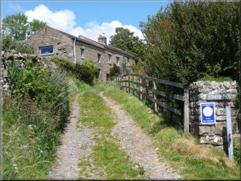
On the O.S. map a letter P denotes a tiny parking area at map ref.
SD972888, accessed by a short narrow track opposite the Memorial Institute
hall in Thornton Rust. After parking and crossing the ford over West
Beck, we used a farm gate on the left to enter the first of three meadows
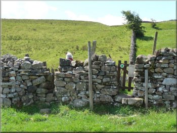
joined by gated squeeze stiles and arrive at a further pair of such
stiles, side-by-side, in a wall. The left of these led in a few metres
to a signpost at SD973885 to which we would return at the end of our
walk.
Start of the climb to Gayle Ing
|
Addlebrough on our right as we climbed up towards Gayle Ing |
|
Footbridge over Gill Beck
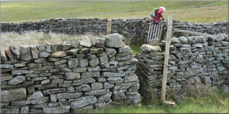
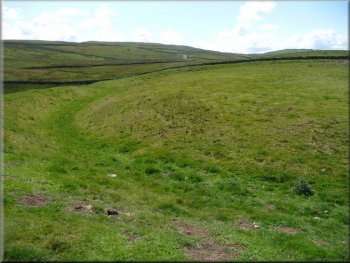
The climb continued until, on Flout Moor, a pair of stiles, some 10
metres apart, took the path from the right of the wall to its left.
|
After dropping down to the footbridge over Gill Beck we veered slightly
left towards a wall, now on our left. The path wound its way uphill
between outcrops to a squeeze stile.
Another steep section of the climb to Gayle Ing
|
Transferring to the other side of the wall on Flout Moor |
|
Approach to Gayle Ing
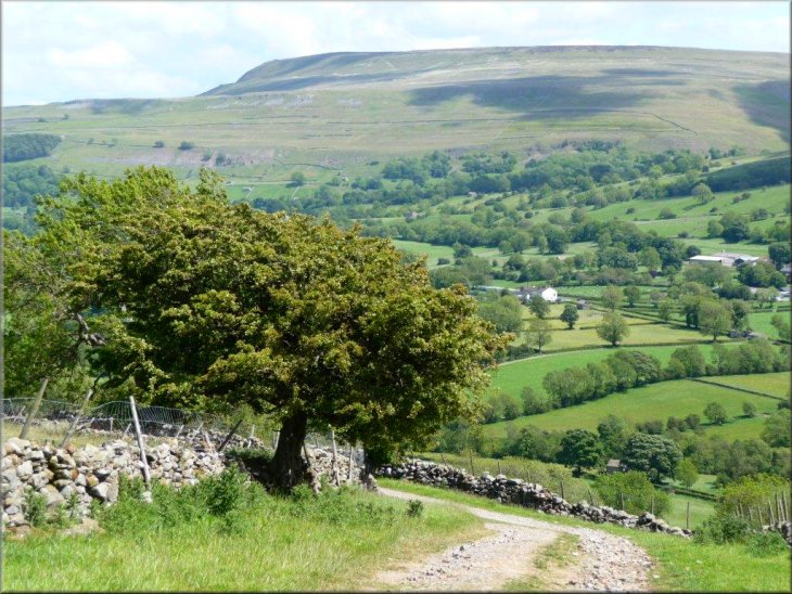
Stake Road, a grass track at this point
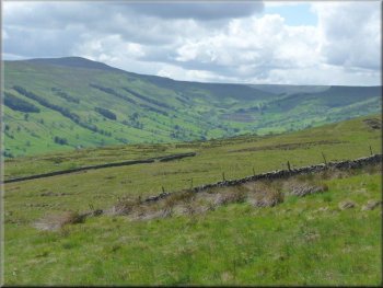
View up Bishopdale from S. of the Stake Road
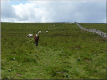
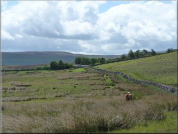
After climbing up to a small gate we contoured left around the heather
to reach a small cairn where we turned left onto a rough stone track,
the Stake Road, which later became a grass track. A further half kilometre
on we turned right through a farm gate onto a grass track, not shown
on the map, to cross open access land and beyond another farm gate,
we joined the bridleway running from Brown-a-Haw to Skellicks Beck.
On the way we had enjoyed a splendid view up Bishopdale.
|
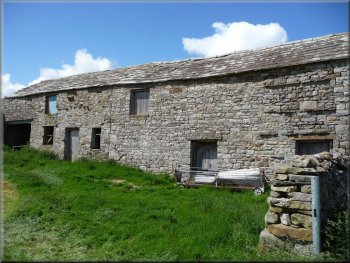
As the moor levelled, the building of Gayle Ing lay ahead in a clump
of trees. A signpost "AYSGARTH, THORALBY" inviting us to enter a bed
of reeds was ignored and instead we turned left only on reaching Gayle
Ing. Following a wall on our right for about 250 metres we passed through
a squeeze stile at the signpost "THORALBY" to drop steeply down to the
Gayle Ing Beck footbridge.
Descent to Gayle Ing Beck
Leaving Stake Road to cross open access land
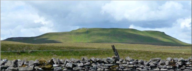
Burton Moor from Side Road
|
Dropping down towards Thoralby |
|
Old Hall farm on the edge of Thoralby
Climbing Haw Lane
Turning left we climbed to Keld Gill where we took the right fork into
a meadow where the bridleway was not obvious. We followed our GPS gadget
roughly NNE and over the brow of the land we found a yellow waymark
in the far corner (SD 9951 8724).
|
Soon we turned left onto Side Road, a stony track we would take for
the next 2 km almost to Thoralby, crossing Swinacote Gill en route.
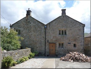
Opposite Old Hall farm, dating back to 1641, we took a track on the
left signposted "BW BUSK LANE 4, AYSGARTH 11/4"
which took us immediately past the house "TOWNHEAD" to join Haw Lane.
Approach to Townhead leaving Thoralby
Climbing towards Keld Gill
|
Looking North along Folly Lane above Heaning Gill |
|
Approaching Heaning Gill and Folly Lane
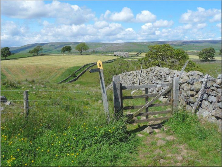
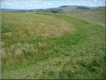
Almost a kilometre further the track was crossed by the direct footpath
from Keld Gill on which we would later return to Thornton Rust. Meanwhile
we continued on Flout Moor Lane uphill on a 20 minute detour. At SD
9824 8746 a farm gate on the left afforded access to the Neolithic henge
Castle Dykes at SD 982873.
|
We descended from the waymark to a farm gate to enter Folly Lane, immediately
crossing Heaning Gill by a crude footbridge. After passing the ruined
Folly House on our left we reached the stony track Flout Moor Lane where
we turned left, signed "FP Gayle Ings 21/4 Ml".
Folly House
|
Castle Dykes henge |
Castle Dykes henge |
|
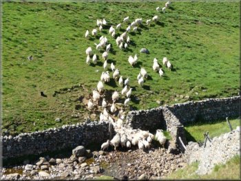
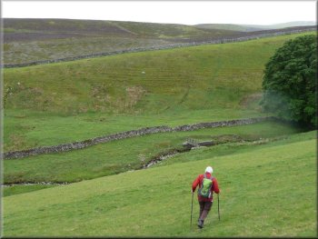
Sheep being driven over Gill Beck
From the stile we passed into meadow land and then into further pastures
with a couple of squeeze stiles. A quite broad grassy path developed
and contoured towards a farm gate. 200 metres before the gate an almost
parallel minor path on the right went off towards a gated stile and
a signpost, from where the path dropped down to the signpost at which
our circuit had begun - Ray Brown
|
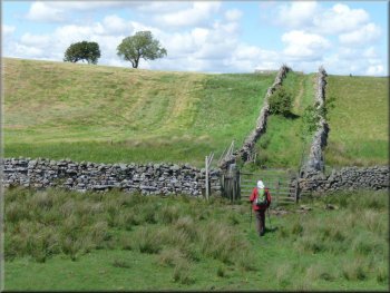
Retracing down Flout Moor Lane to the footpath (SD 985876) we turned
left to Gill Beck where one man and his dog were driving a flock across
the beck. Following exactly the extrapolated line of the wall by which
we had approached the beck, we climbed the other side to find a waymarked
signpost which directed us through pasture to a dilapidated and potentially
dangerous stile (SD 982879).
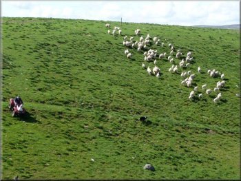
One man and his dog
|
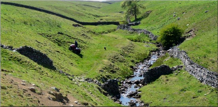
Gill Beck about 2km from the end of our walk |