| 2001 walks | 2002
walks | 2003 walks | 2004
walks |
| 2005 walks | 2006
walks | 2007 walks | 2008
walks |
| 2009 walks | 2010
walks | 2011 walks | 2012 walks |
| 2013 walks | 2014 walks | 2015 walks | 2016 walks |
| 2017 walks | 2018 walks | 2019 walks |2020 walks |
| 2021 walks | 1993-2000 library | Find a Route Index |
| A few Routes to print out | Request a Route... |
Route No. 412 - Wednesday 11 May 2011
Cod Beck, Cleveland Way, Osmotherley
Cod Beck Reservoir circuit - 6km
North York Moors . . .
Route map from Ordnance Survey
Open Space service.
Map: OS Explorer OL26 North York Moors Western area
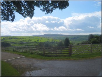
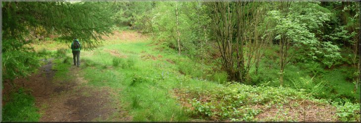
Looking back across the Cod Beck valley as we climbed up Scarth Wood Moor |
|
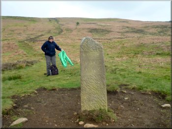
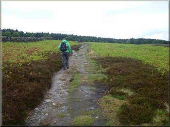
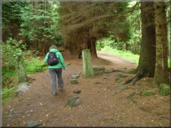
Lyke Wake Walk stone marker post at the start of our walk
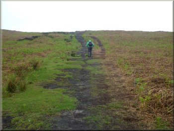
Climbing up Scarth Wood Moor
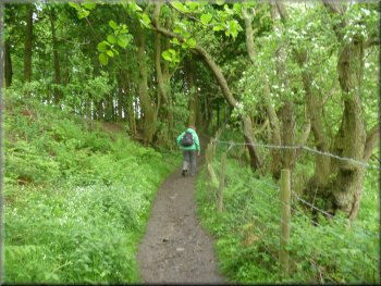
We crossed the road to the marker post and followed the path up the
hillside of Scarth Wood Moor. We had hardly started when there was a
heavy shower but is did not last too long and then it stayed fine for
the rest of our walk. As we reached the top of the climb the path followed
a dry stone wall around a pasture field on top of the moor where there
was a large herd of beef cattle grazing with a fine limousin bull and
lots of young calves.
|
I'm still recuperating from my knee replacement operation at the beginning
of February. It seems to be such a long slow process and it's likely
to take another couple of months before I can expect to be back to normal,
whatever that was. It's so long ago I can hardly remember. Anyway today
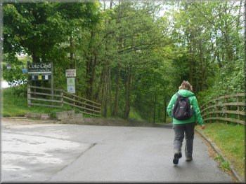
my wife and I drove to a little car park at the inlet to Cod Beck reservoir
at map ref. SE467992. Across the road from the car park is a stone marker
post for the Lyke Wake Walk.
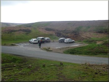
Car park next to Cod Beck at the start of our walk
Climbing up Scarth Wood Moor
|
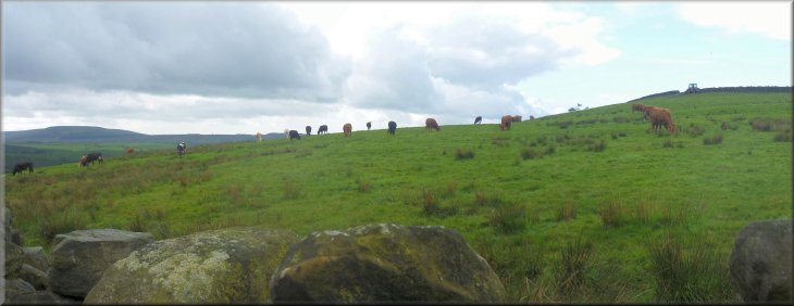
Cattle grazing in pasture on top of Scarth Wood Moor |
|
Meeting the Cleveland Way on Scarth Wood Moor
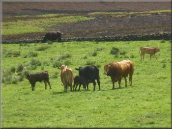
Beef cattle by the path
Instead we turned sharp left to walk along a track at the top edge
of the field with the cattle grazing below us. After about 300m the
track joined a metalled farm access road.
|
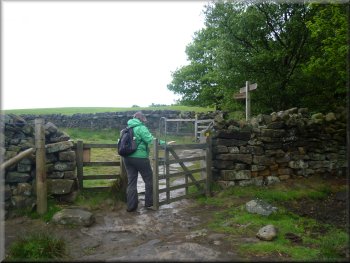
We came to a pedestrian gate at the edge of a wood where our path met
the Cleveland Way at map ref. SE460999. We did not follow the Cleveland
Way.
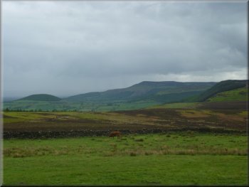
The Cleveland Hills from Scarth Wood Moor
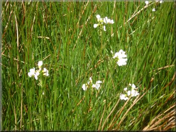
Lady Smock in the pathside verge
|
|
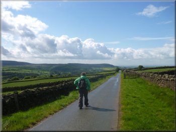
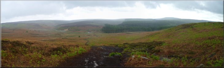
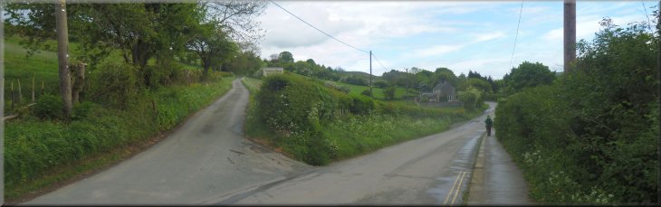
Farm access road heading towards Osmotherley
Black Hambleton on the skyline
On the far skyline we could see the high moor called Black Hambleton.
At the end of the access road, at map ref. SE456977, we came to the
road through Osmotherley
|
We walked down the access road for about 1.5km towards Osmotherley.
There was a good view across the valley of Cod Beck.
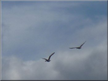
Greylag geese flying towards the reservoir
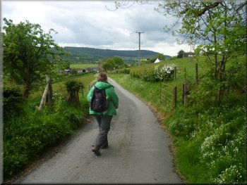
Following the access road towards Osmotherley
|
On the edge of Osmotherley we left the farm access road and turned towards
Cod Beck reservoir |
|
Turning towards Osmotherley Youth Hostel
Climbing up through the woods past the youth hostel
Just past the youth hostel we turned left off the access road to follow
a path climbing up through the woods for about 600m to a path running
along a track at map ref. SE466982. At this track we turned left and
walked along the track for about 150m where we turned left again to
follow a broad access track down the hillside to the dam across Cod
Beck Reservoir at map ref. SE446984.
|
At the road we turned away from Osmotherley and walked about 200m along
the road towards Cod Beck reservoir. Here we turned right off the road
down the access road to the Osmotherley Youth Hostel. After about 300m
the access road crossed Cod Beck and ahead of us was the Youth Hostel
to the right of the access road. There was a "For Sale" sign fixed to
the gable of the building.
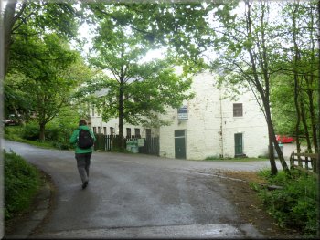
Passing the Osmotherley Youth Hostel
Climbing up through the woods past the youth hostel
|
Climbing up through the woods beyond the youth hostel |
|
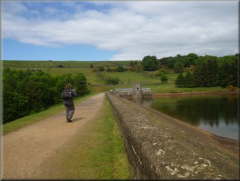
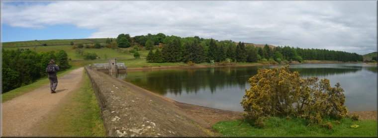
Crossing the dam of Cod Beck Reservoir
Cod Beck Reservoir near the end of our walk
The whole walk had been 6km and it had taken us (well me, as my wife
had to keep on waiting for me) about two hours to walk. It had been
a very pleasant little route and was the furthest I have walked so far
since my knee operation, so things are still improving. I'll just have
to be a bit more patient.
|
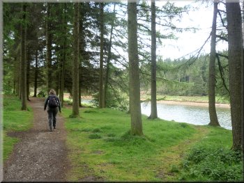
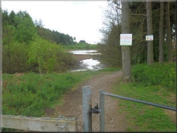
We crossed the dam and at the far side of the reservoir we turned
right to walk along the water company permissive path on the side of
the reservoir. It was very pleasant walking through the trees with the
reservoir on our right. After about 800m we came to a pedestrian gate
out of the reservoir site about 50m from the car park.
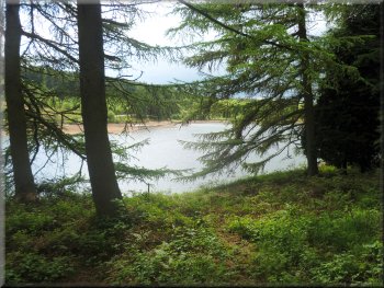
Cod Beck Reservoir
Looking back to the reservoir from the car park
|