Our starting point about 2.5km out of Lofthouse on the road to Masham |
|
The road back towards Lofthouse
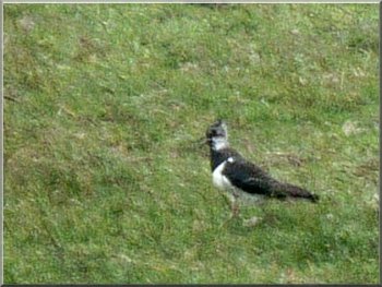
Lapwing too far away for a good photo
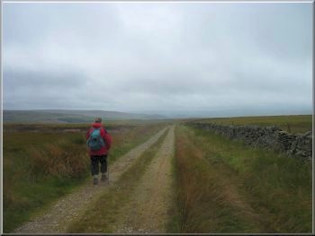
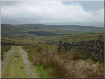
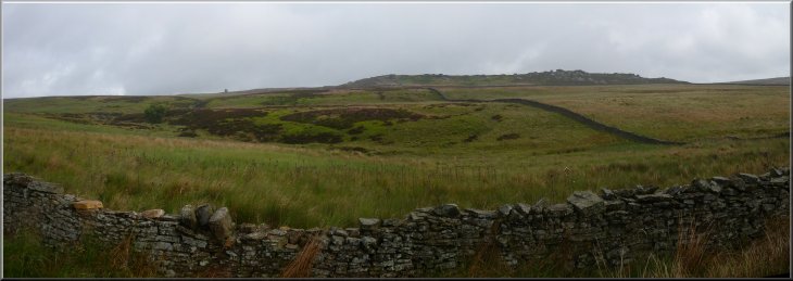
The old County road to the Sype Land
We set offback along the road we had just driven up for about 600m
to map ref. SE114750. Here we turned left onto a track heading out across
the moor. We continued on the track for about 700m to a fork in the
track at map ref. SE120746. Here we took the right hand fork and followed
the track down the moor with the little valley of a beck on our left
hand side. This part of the moor is called Sype Land and above us on
our left were Sypeland Crags.
|
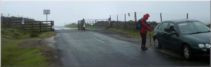
The weather forecast for today was poor with a low pressure area bringing
us winds and rain. There did however seem to be an area on the eastern
edge of the dales that could escape the worst of it. So we drove through
Pateley Bridge to Lofthouse in Nidderdale, and drove up the steep narrow
road that leads to Masham. We parked at the top of the hill where the
road crosses a cattle grid onto the open moor at map ref. SE119754.
We were just below the cloud base with a strong wind hurling a show
at us when we got out of the car.
The old County road to the Sype Land
The old County road to the Sype Land
Lul Beck valley
|
Sypeland Crags up to our left |
|
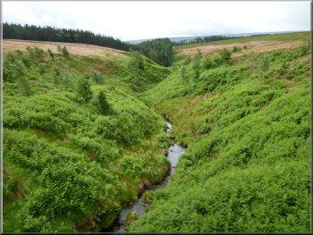
Lul Beck from the stone bridge
After about 2km we crossed a stone bridge over Lul Beck and after
another 150m, at map ref. SE135727, we came to a junction in the track.
Here we turned left onto another track climbing up the moor alongside
Lul Beck.
|
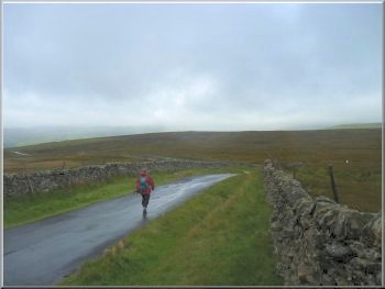
The weather had improved and there were quite warm sunny spells and
the occasional short blustery shower for the rest of the walk, so despite
the bad forecast it turned out not to be too bad a day for a walk after
all.
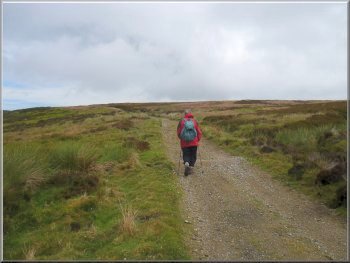
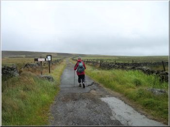
County road climbing up by Lul Beck
|
County road climbing up towards Sypeland Crags |
|
Lul Beck crags
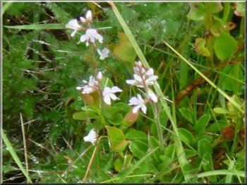
Heath speedwell flowers by our path
About 100m beyond the crags we turned left off the track to cross
Lul Beck and climb up across the moor behind Lulbeck Crags. We sat in
the heather with a pleasant view down the valley of Lul Beck to have
our lunch.
|
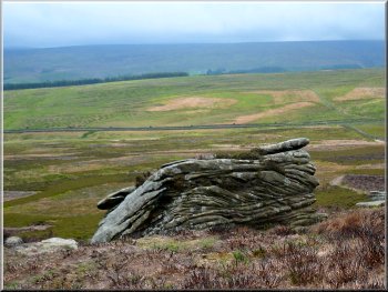
We continued to climb along the track for about 1km to map ref. SE139738.
Here on our left were Lulbeck Crags, a small outcrop of millstone grit
standing at the confluence of two small becks (there are some more crags
also called Lulbeck Crags about 1.5km to the south).
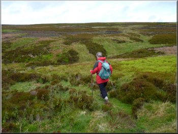
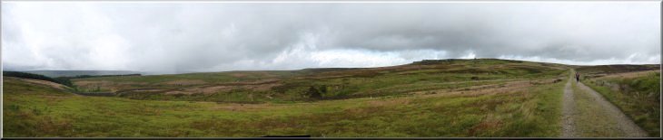
Heading across the moor
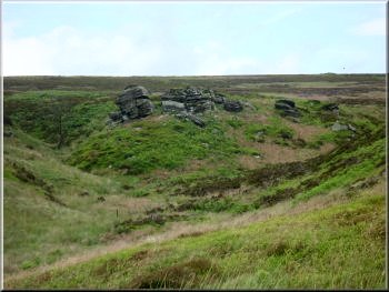
Rocks on Sypeland Crags
|
Wind erroded rocks on Sypeland Crags |
|
Wind erroded rock on Sypeland Crags
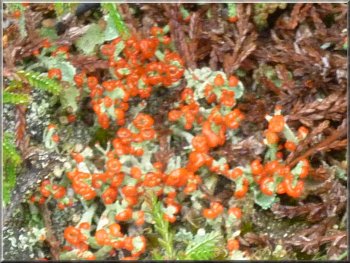
Bright red fruiting bodies on the moorland lichen
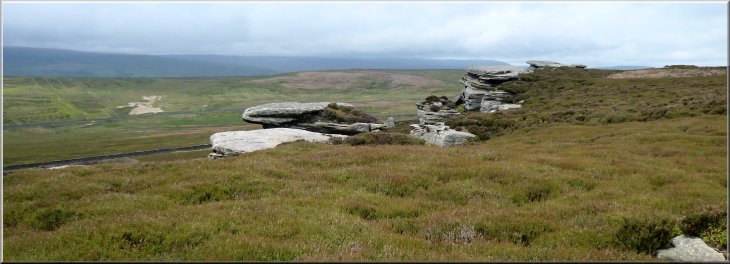
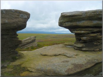
All the rocks along Sypeland Crags have been subject to wind errosion,
producing some unusual shapes. The errosion has highlighted the bedding
planes of the sedimentary material laid down to form these rocks showing
subsequent layers at very different angles. I'm not sure how this happened.
|
After our break we made our way across the moor to the edge of Sypeland
Crags and followed the rocky outcrop around the hillside in a large
arc until we came to the two rocks called "Jenny Twigg and her daughter
Tib".
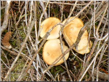
Small moorland fungus
Wind erroded rocks on Sypeland Crags
|
Wind erroded rocks on Sypeland Crags |
|
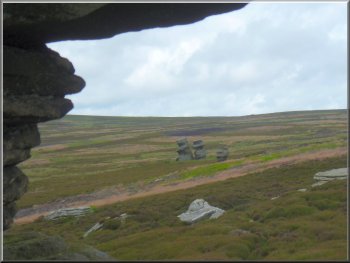
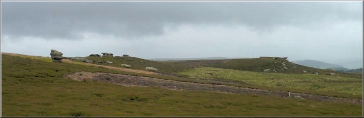
Jenny twigg seen from Sypeland Crags
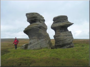
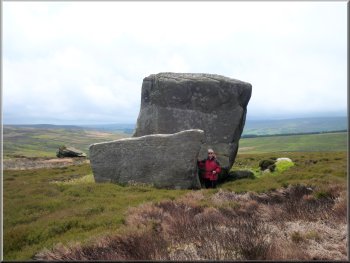
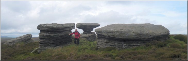
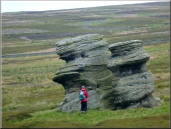
Jenny Twigg and her daughter Tib from the South
It is rumoured that they were responsible for the murders of three
pedlars whose bodies were found at Dead Man's Hill near Scar House Reservoir.
|
Two large freestanding rocks have been named Jenny Twigg and her daughter
Tib after the proprietress and her daughter of an inn at Arkleside.
Jenny Twigg and her daughter Tib
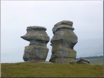
Jenny Twigg and her daughter Tib from the North
|
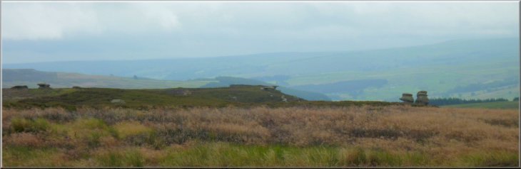
Jenny Twigg and her daughter Tib looking south from the old County road |
|
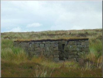
One of a line of stone grouse shooting butts
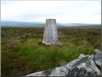
Trig point on Ouster Bank
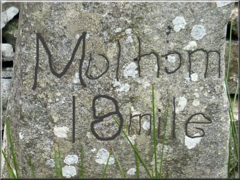
The worn inscription on the mile post reads
Malham 18 mile. The route goes via Lofthouse,
Conistone and Mastiles Lane to Malham
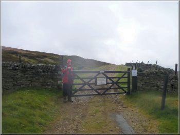
The route around Sypeland Crags and the Jenny Twigg rocks is on open
access land but there is no path and the going can be rough. The tracks
we walked are part of the old highway network, I believe know as the
Old County Roads. They are still public highways and as such I do not
think that they are subject to the restrictions that can be applied
to open access land.
|
From these two rocks we made our way north to a gate onto a track
at map ref. SE130746, next to a shooting hut. We turned left to walk
along the track for about 250m to a gate across the track. Here we turned
right off the track to follow a path next to a wall heading across the
moor to the trig point on Ouster Bank at map ref. SE120751. The trig
point is on the opposite side of the wall to the path, but we did pass
within a couple of metres of it. We continued to follow the path by
the wall for another 500m back to the road where we had started. The
whole walk had been about 7km and it had taken us around four hours
to walk including our lunch break and several stops to look at the rock
formations.
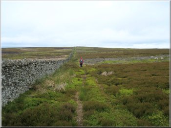
Track over Ouster Bank
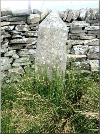
Old mile post next to our parking spot
|