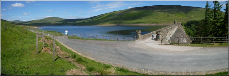
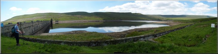
Starting to cross the dam at Scar House Reservoir |
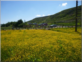
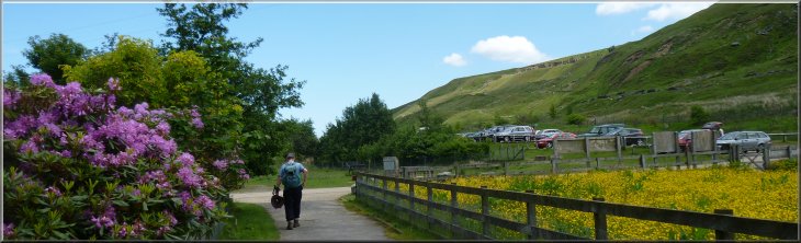
The car park at the start of the walk
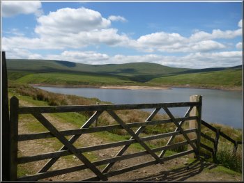
From the car park we walked down past the excellent information boards to the reservoir dam. We followed the access road across the
crest of the dam. |
This morning my friend, Jim, and I drove to the water company's public car park at Scar House Reservoir at the head of Nidderdale at map ref.
SE070766.
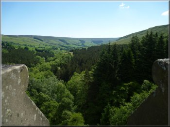
Looking down Nidderdale from Scar House dam
|
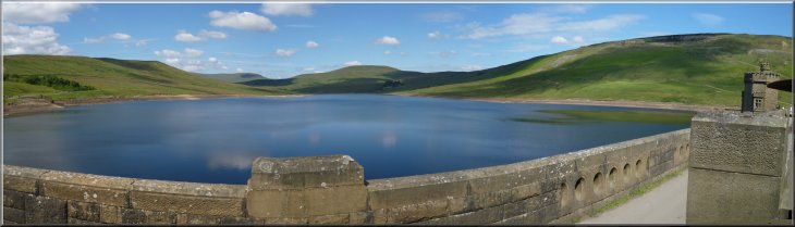
Looking up Scar House Reservoir from the dam |
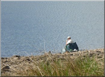
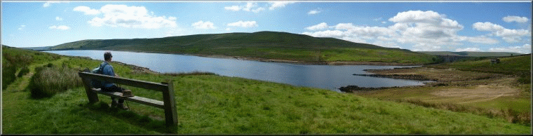
An angler by Scar House reservoir
There was an angler sitting
on his folding chair at the edge of the water below us enjoying the sunshine as we passed by. |
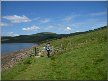
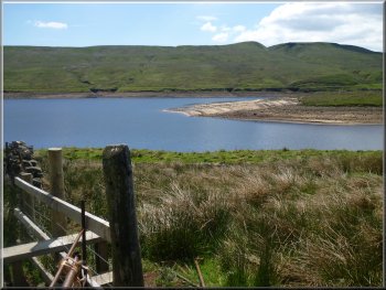
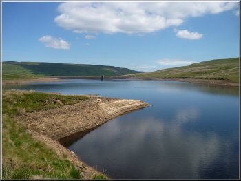
At the other side of the reservoir we turned left off the track on to a path just above the edge of the reservoir.
The water level was around 4 or 5m below it's maximum.
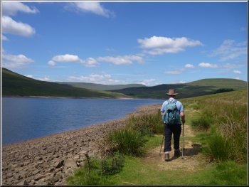
Path along the edge of Scar House Reservoir |
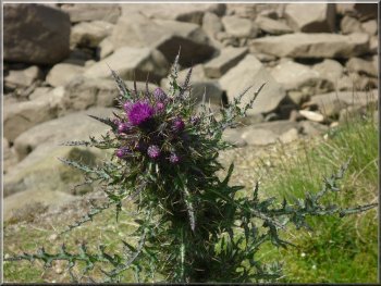
Thistle in bloom by the path
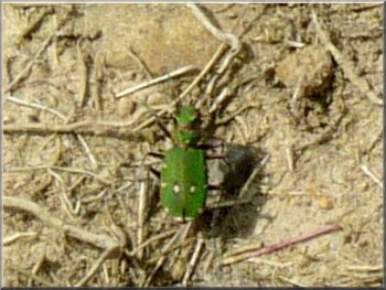
Green tiger beetle on the path
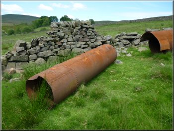
Spare riveted steel pressure pipes from the 1920's
They were spare pipes from the construction of the aqueduct from Angram
reservoir commissioned around 1920. Then we saw the crown of some of
these pipes in the aqueduct itself in the grass of the path. They take
water from the reservoir to Chellow Heights water treatment works in
Bradford. |
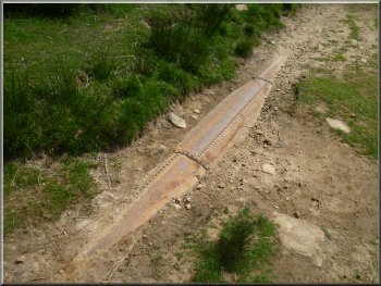
The path follows the bed of a narrow gauge railway used during construction
of the Angram Reservoir to transport materials up to the dam construction
site. In a couple of places the old rails are visible amongst the grass
of the path. Beside the path we noticed some old lengths of steel riveted
pressure pipes
Path along the old narrow gauge railway bed
Aqueduct of riveted steel pressure pipes
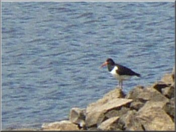
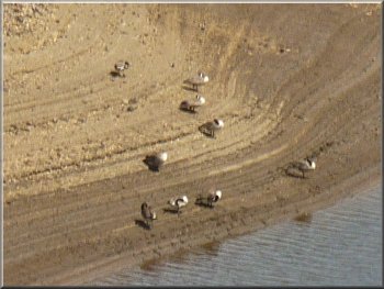
Oyster catcher by the reservoir
|
|
|
|
|
Path along the old narrow gauge railway bed
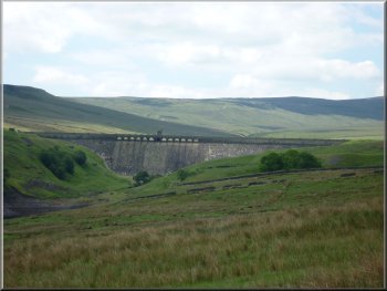
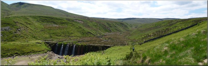
Looking up to the dam at Angram reservoir
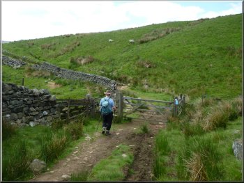
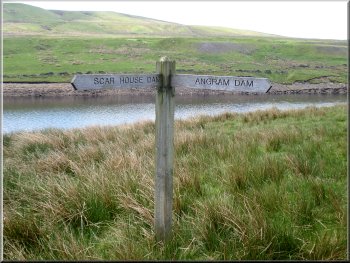
Track leading up to Angram Reservoir dam
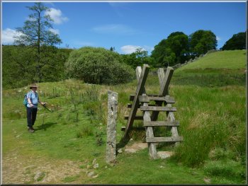
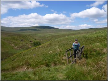
Here we turned left to follow the path
contouring around the hillside for about 1km to the northern end of the dam at Angram reservoir. |
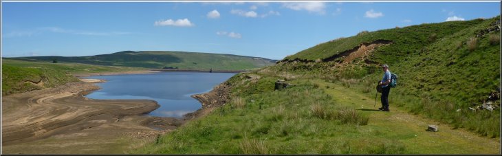
After about 1.7km along the edge of Scar House reservoir the
path turned away from the water's edge at map ref. SE050771 to climb up the hillside for about 300m.
Turning away from the reservoir to climb the hillside
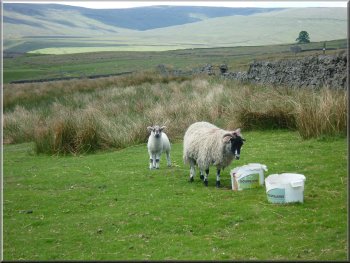
Ewe and lamb by the path
Looking back to Scar House reservoir
|
|
|
|
|
Angram Reservoir from our lunch stop by the dam |
Channel & penstocks by Angram Reservoir
Footbridge over a gully crossing the path
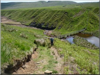
Path down to the R. Nidd inlet
Here we turned left to follow the path down the hillside to a
narrow arm of the reservoir. There are two main streams that feed into this arm of the reservoir. They are Long Hill Sike and the River Nidd, just a little
stream here.
|
From the end of the dam we followed a track heading
south west above the edge of Angram Reservoir. After about 700m the track became a path through the coarse grass of the hillside and we
continued around the hillside above the reservoir for another 600m to map ref. SE030760.
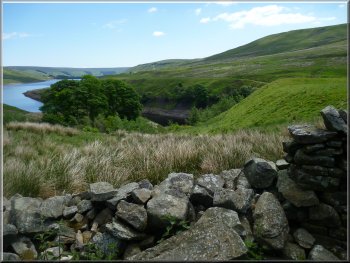
Looking across Angram Reservoir
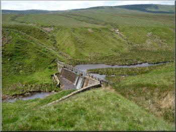
Dam & footbridge at the R. Nidd inlet
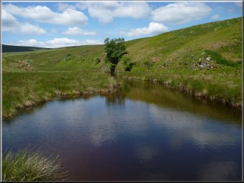
Pool at the R. Nidd inlet
|
|
|
|
|
Path up from the R. Nidd inlet
Canada Geese on the shore of Angram Reservoir
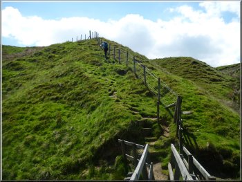
We climbed up the steep bank from the footbridge. At the top of the bank we followed a path around the two arms of the reservoir to a bridge over Stone Beck. |
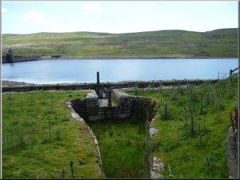
We crossed the arm of the reservoir on the narrow footbridge above a small dam. I think the dam is there to create a pond which acts as a silt trap before the water enters the reservoir.
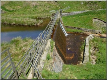
Silt trap dam across the R. Nidd inlet
Angram Reservoir from the Stone Beck inlet
|
|
|
|
|
|
|
Silt trap dam across the Stone Beck inlet to Angram Reservoir
The track by Angram Reservoir at the Stone Beck inlet
|
Looking back along Scar House Reservoir
The whole route had been 10km and it had taken us a little over 3 hours
to walk including our lunch stop at the north western end of the dam
at Angram reservoir. |
We crossed the bridge and climbed up to a track around the south
eastern side of Angram reservoir. After about 1km we came to the south
eastern end of the dam at map ref. SE044762. From here we followed the
track above Scar House reservoir for about 2.5km back to the car park
and the end of our walk.
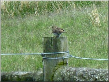
Meadow pipit on a post by the path
|
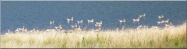
Greylag geese on Scar House reservoir near the end of our walk |
Returning to the car park at Scar House Reservoir at the end of our walk. |