| 2001 walks | 2002
walks | 2003 walks | 2004
walks |
| 2005 walks | 2006
walks | 2007 walks | 2008
walks |
| 2009 walks | 2010
walks | 2011 walks | 2012 walks |
| 2013 walks | 2014 walks | 2015 walks | 2016 walks |
| 2017 walks | 2018 walks | 2019 walks |2020 walks |
| 2021 walks | 1993-2000 library | Find a Route Index |
| A few Routes to print out | Request a Route... |
Route No. 193a - Saturday 6 November 2010
Blubberhouses, Roman Road
Lippersley Ridge, Fewston Res. circuit - 12km
Washburn Valley, Lower Wharfedale . . .
This is a slight variation of route no. 193 walked on 7
September 2006
Route map from Ordnance Survey
Open Space service.
Map: OS explorer 297 Lower Wharfedale & Washburn Valley
|
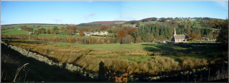
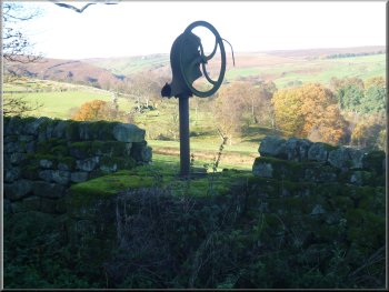
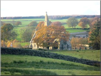
Blubberhouses Church & Blubberhouses Hall from the start of the
climb onto Blubberhouses Moor
|
|
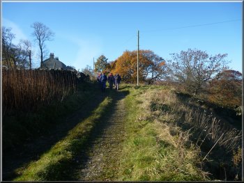
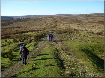
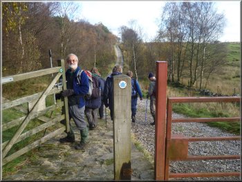
The track out of Blubberhouses
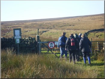
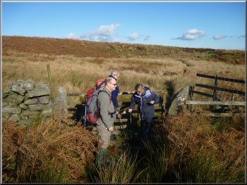
Gate onto the old byway up to the Roman Road
After about 150m we turned right off the road on to an access track
in front of some houses. At the end of the houses the track turned up
hill and there was a gate out onto the open moor. There was a well walked
path heading southwest up the hillside through coarse marsh grass for
about 400m from the gate to join the route of the old Roman Road at
map ref. SE163545.
|
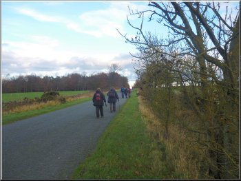
This morning my wife and I met a group of friends at the car park off
the A59 at Blubberhouses next to the inlet to Fewston Reservoir, map
ref. SE169553. It was a perfect day for a walk with clear blue sky and
bright autumn sunshine. From the car park we set off along the road,
up the hill past the church.
Old waterpump by the track at Blubberhouses
Following the old byway to the Roman Road
|
|
Roman Road with a few foundation stones still visible
Crossing Sun Bank Gill on the line of the Roman Road
We crossed the little valley of Gill Beck, called Sun Bank Gill and
continued up the slope.
|
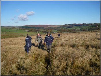
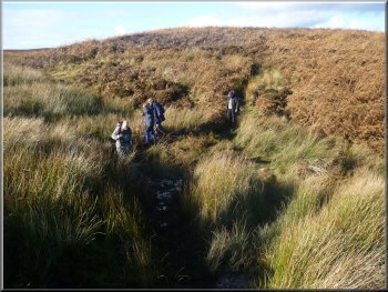
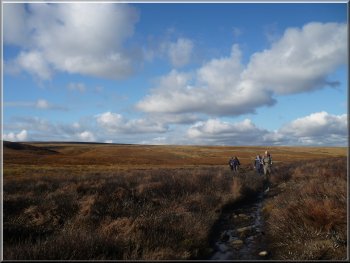
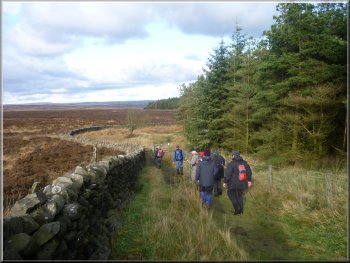
We walked along the route of the Roman Road for about 2.5km. The route
is well walked but it's still easy to loose the track in the boggy areas
of marsh grass.
Following the Roman Road across the moor
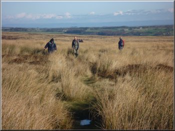
Boggy ground & coarse marsh grass can make the path easy to loose
|
Crossing Sun Bank Gill on the line of the Roman Road |
|
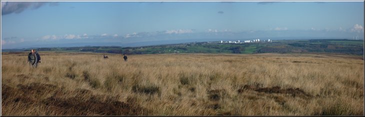
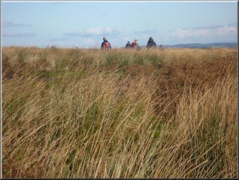
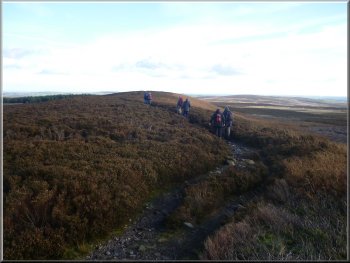
Walkers on Lippersley Ridge
Heading for Gawk Hill Gate
Heading for Gawk Hill Gate
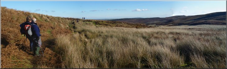
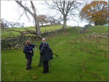
However on the ground there was little sign of a path continuing along
the Roman Road and we simply kept to the only path we noticed which
was the path to Gawk Hill Gate. Once there we stopped to sit on a bank
next to the wall for our lunch with a fine view Northeast, across the
moor.
|
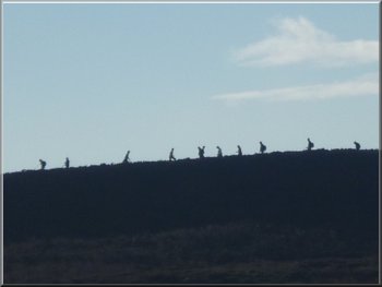
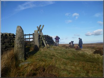
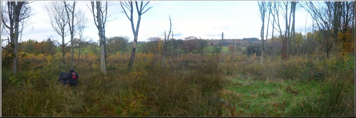
Ahead of us we could see a large party of walkers making their way
along Lippersley Ridge, silhouetted against the bright sun light, and
the ladder stile at Gawk Hill gate. At map ref. SE139536 the map shows
a path off to the left heading across to Gawk Hill Gate about 800m away
to the Southwest.
Ladder stile at Gawk Hill Gate about 1km away
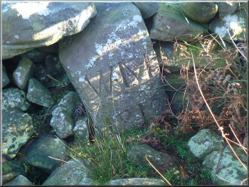
Boundary stone built into the wall
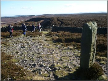
Arriving at Gawk Hill Gate
|
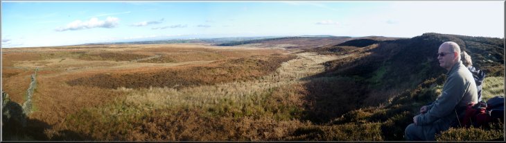
Lippersley Ridge and the open moor from our lunch stop at Gawk Hill Gate
|
|
About to leave Gawk Hill Gate
Path from Gawk Hill Gate to Lippersley Ridge
Path along Lippersley Ridge
After about 1.5km we reached the edge of the conifer plantation called
Back Allotment, at map ref. SE149525.
|
After our break we continued along Lippersley Ridge. At a high point
on the ridge we came to a stone windbreak shelter where there was a
good view over Wharfedale to Otley and Ilkley.
Path from Gawk Hill Gate to Lippersley Ridge
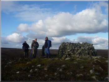
Windbreak shelter on Lippersley Ridge
Conifer plantation at the end of Lippersley Ridge
|

Windbreak shelter on Lippersley Ridge |
|
Conifer plantation at the end of Lippersley Ridge
Stone track through the plantation
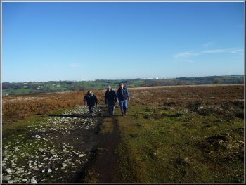
We continued along this track for another 1.5km to a road junction
at map ref. SE170530.
|
There was a good gravel path through the plantation and after about
400m it became a stone forest access track.
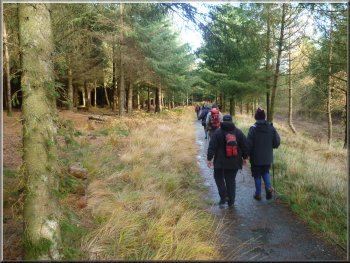
Gravel path through the plantation
The road towards Timble
|
|
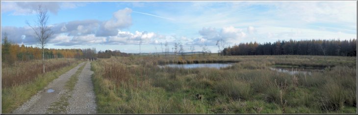
Ponds by the stone track through the plantation

Looking down the Washburn Valley towards Lindley Wood Reservoir
|
|
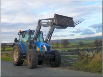
Powerful tractor by the roadside
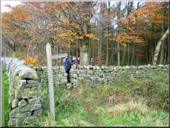
Turning off the road into Beecroft Moor Plantation
Footbridge over Thackray Beck
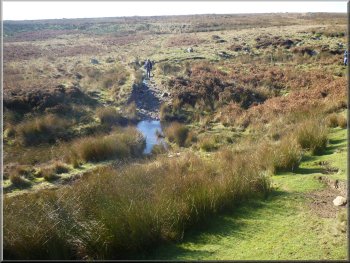
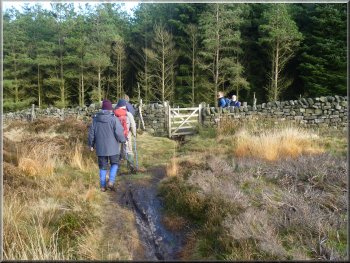
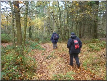
At this point we turned left off the road on to a path through Beecroft
Moor Plantation. We followed the path through the trees for almost 700m
to a footbridge over Thackray Beck at the edge of the plantation at
map ref. SE174540.
|
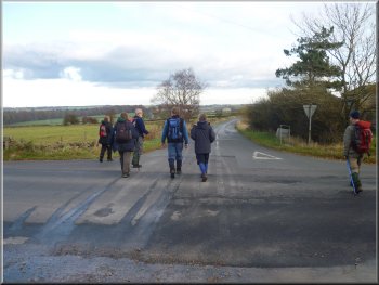
We crossed the junction to follow the road towards Timble for about
250m to another junction. Here we turned left and continued along the
road for another 400m to map ref. SE177534.
Road towards Fewston
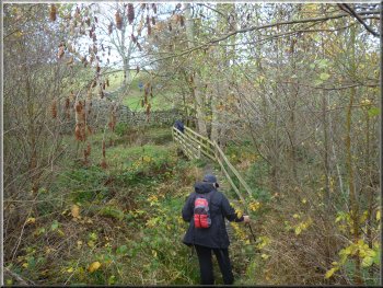
Path through Beecroft Moor Plantation
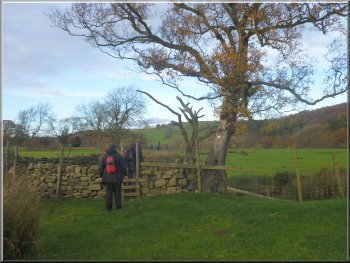
Path across the fields back to the car park
|
Path through Beecroft Moor Plantation |
|
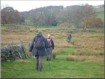
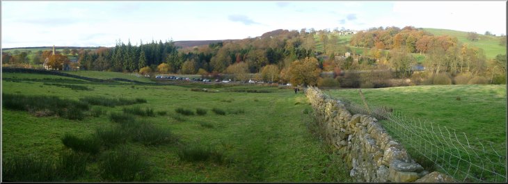
Path across the fields back to the car park
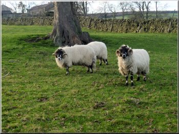
'Dalesbred' tupps ready to get the season's lambing underway
It had been a lovely walk of 12km in the autumn sunshine and quite
varied with the open moor, conifer forest, pasture land and views of
the reservoir. The whole walk had taken us about four and a half hours
including our lunch stop.
|
Beyond the footbridge, the path continued over the fields for 1.5km
back to the car park. Along the way there were lovely views of Fewston
Reservoir surrounded by the trees in full autumn colour.
Path across the fields back to the car park
Blubberhouses Church above the car park
|
|
Path down the slope back to the car park at Blubberhouses next to Fewston
Reservoir
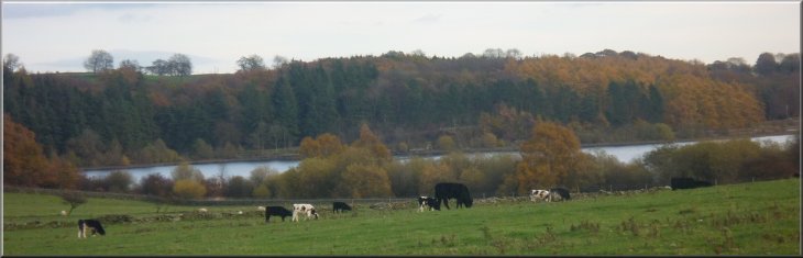
Fewston Reservoir seen from the footpath across the fields
|
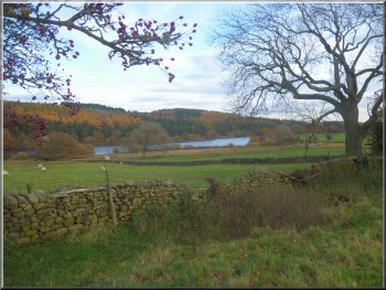
Fewston Reservoir seen from the footpath |
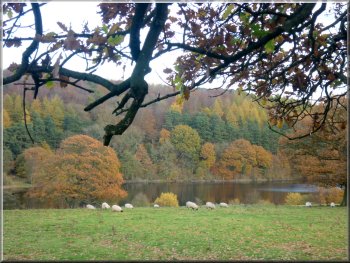
Fewston Reservoir seen from the footpath |
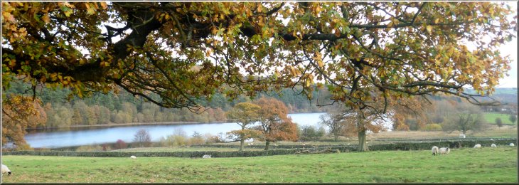
Fewston Reservoir seen from the footpath across the fields |